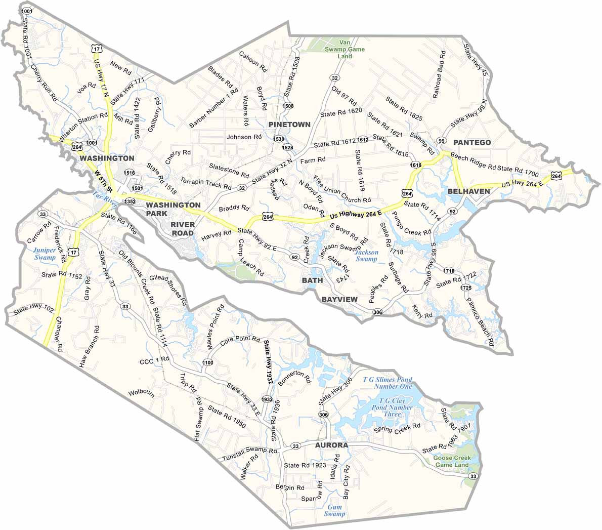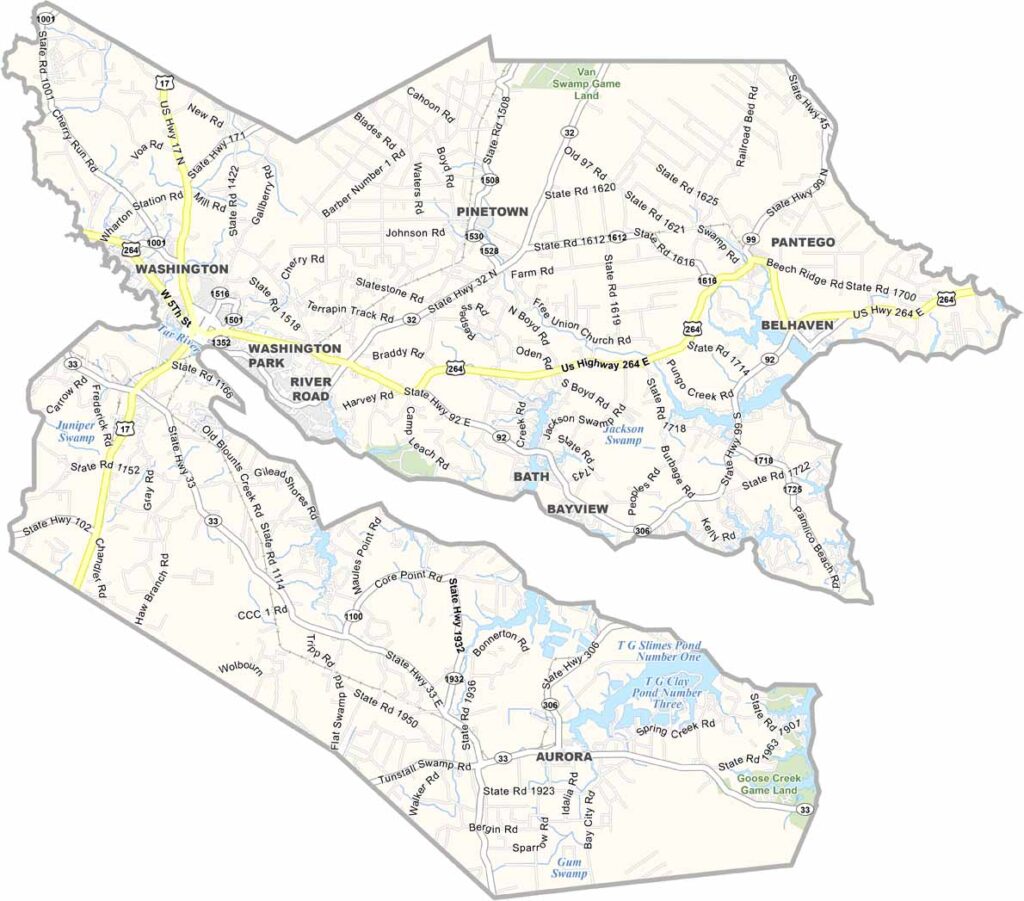
Beaufort County Map, North Carolina

Beaufort County, North Carolina

Water defines the landscape of Beaufort County, which lies in the Inner Banks region of North Carolina. The Pamlico River cuts through the heart of the county.

Washington, the county seat, is nicknamed “Little Washington” to set it apart from Washington, D.C. The area has a rich history rooted in colonial times, which visitors can explore at the North Carolina Estuarium.

Boat-building has been a tradition here for centuries, and fishing is more than a hobby, it is a way of life. The slower pace draws retirees and vacationers alike. Goose Creek State Park offers camping and hiking along the river.

CategoryDetails
County NameBeaufort County
County SeatWashington
EtymologyNamed after Henry Somerset, 2nd Duke of Beaufort
Cities, Towns, and CommunitiesWashington, Bath, Belhaven, Aurora
Interstates and HighwaysU.S. Route 17, U.S. Route 264, North Carolina State Route 33
FIPS Code37-013
Total Area (Land and Water)1,416 square miles (1,295 sq mi land, 121 sq mi water)
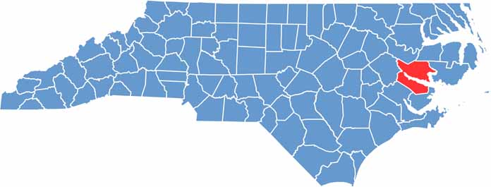
Adjacent Counties (and Direction)Martin County (North), Washington County (Northeast), Hyde County (East), Pamlico County (South), Craven County (Southwest), Pitt County (West)
Time ZoneEastern Time Zone (ET)
StateNorth Carolina
Coordinates35.5390° N, 77.0680° W
Major LandmarksHistoric Bath, Washington Waterfront, Pamlico River
PopulationApproximately 47,000
Scroll to Top