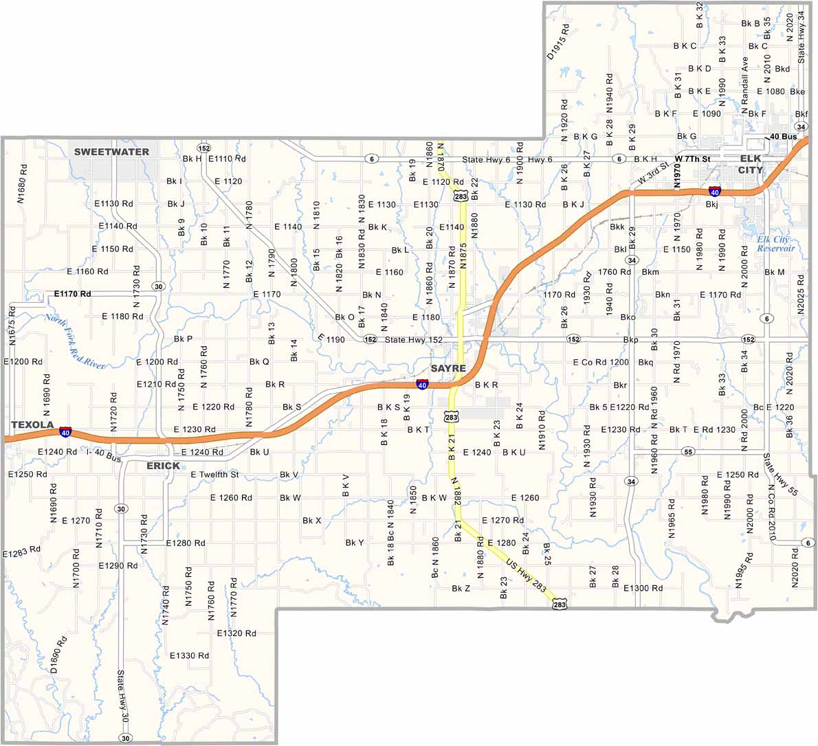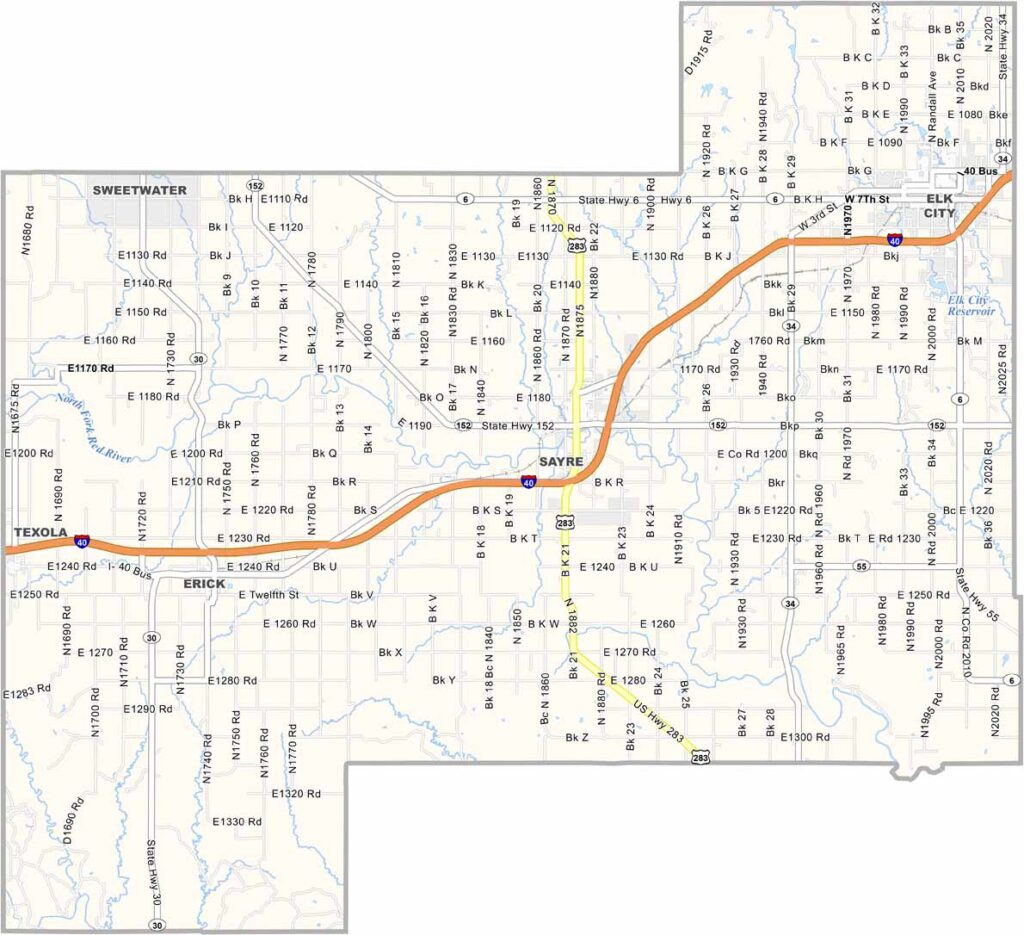
Beckham County Map, Oklahoma

Beckham County, Oklahoma

Beckham County sits in western Oklahoma, along the border of Texas. It's where the red dirt meets the big sky, with a bit of everything: prairies, mesas, and even some sand dunes.

Elk City is the county seat, where Route 66 nostalgia comes alive. You can't miss the giant Kachina Doll downtown. It's quite a sight.

Oil has been a big deal here since the early 1900s. The fields aren't as productive now, but you'll still see pump jacks nodding away. Beckham County has some quirky claims to fame. Ever heard of the National Route 66 Museum? It's right here in Elk City.
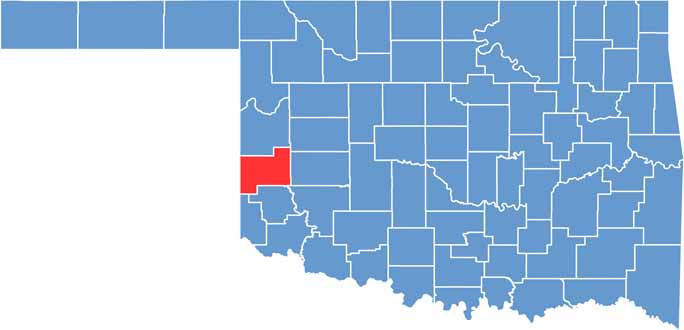

Location map of Beckham County, Oklahoma
CategoryDetails
County NameBeckham County
County SeatSayre
EtymologyNamed after J.C.W. Beckham, a U.S. Senator from Kentucky
Cities, Towns, and CommunitiesSayre, Elk City, Erick, Carter, Texola
Interstates and HighwaysInterstate 40, U.S. Highway 283, U.S. Highway 66 (Historic Route), State Highway 6, State Highway 30
FIPS Code40-009
Total Area (Land and Water)904 square miles (902 sq mi land, 2 sq mi water)
Adjacent Counties (and Direction)Roger Mills County (North), Custer County (Northeast), Washita County (East), Kiowa County (Southeast), Greer County (South), Harmon County (Southwest), Collingsworth County, Texas (West), Wheeler County, Texas (Northwest)
Time ZoneCentral Time Zone (CST)
StateOklahoma
Coordinates35°17'N, 99°45'W
Major LandmarksBlack Kettle National Grassland, Sandhill Curiosity Shop (Erick), Sayre Courthouse
PopulationApproximately 22,500
Scroll to Top