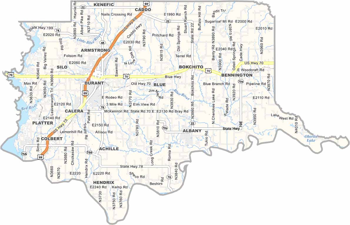
Bryan County Map, Oklahoma

Bryan County, Oklahoma

Bryan County is down in southeastern Oklahoma, where the Red River lazily winds its way along the Texas border. This is Bryan County.

Durant, the biggest town, is known as the "Magnolia Capital of Oklahoma." And let me tell you, when those magnolia trees bloom in spring, it's something else.

The Choctaw Nation has deep roots here, and their casino resort brings in folks from all over. Lake Texoma is in the west and is a big deal in these parts. It's a fisherman's paradise, and you should see the size of the striped bass they pull out of there.
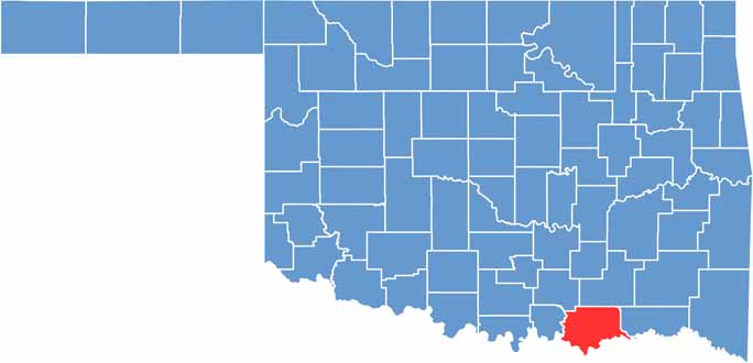

Location map of Bryan County, Oklahoma
CategoryDetails
County NameBryan County
County SeatDurant
EtymologyNamed after William Jennings Bryan, U.S. Congressman and Secretary of State
Cities, Towns, and CommunitiesDurant, Calera, Caddo, Achille, Colbert, Bokchito, Mead, Bennington
Interstates and HighwaysU.S. Highway 69/75, U.S. Highway 70, State Highway 22, State Highway 48, State Highway 78
FIPS Code40-013
Total Area (Land and Water)944 square miles (909 sq mi land, 35 sq mi water)
Adjacent Counties (and Direction)Atoka County (North), Choctaw County (East), Lamar County, Texas (Southeast), Fannin County, Texas (South), Grayson County, Texas (Southwest), Marshall County (West), Johnston County (Northwest)
Time ZoneCentral Time Zone (CST)
StateOklahoma
Coordinates34°01'N, 96°23'W
Major LandmarksLake Texoma, Fort Washita, Three Valley Museum, Southeastern Oklahoma State University
PopulationApproximately 48,000
Scroll to Top