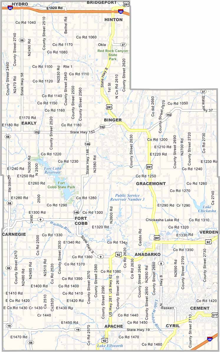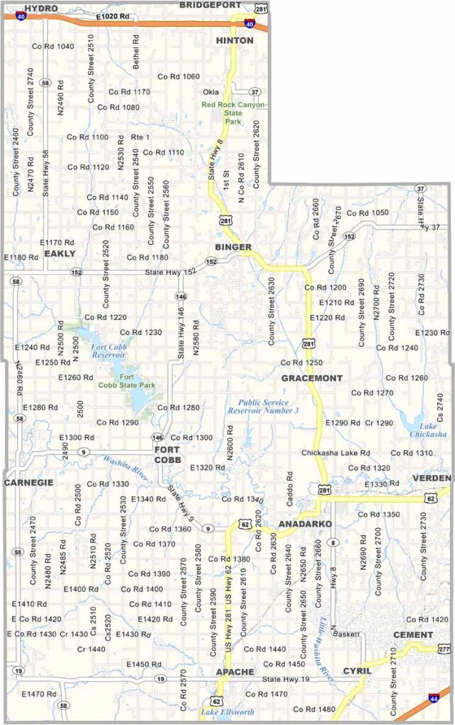
Caddo County Map, Oklahoma

Caddo County, Oklahoma

Caddo County stretches across southwestern Oklahoma, with red dirt and wide-open spaces defining much of the landscape. It’s named after the Caddo tribe, who have called this area home for centuries.

Anadarko serves as the county seat and sits along the Washita River. Agriculture is a major part of the local economy, with wheat, cotton, and cattle ranching shaping life across the county.

The landscape may surprise you, with mesas, grasslands, and small mountains scattered throughout the area. Fort Cobb State Park is also located here, featuring a 4,000-acre lake that’s popular for fishing, swimming, boating, and camping.
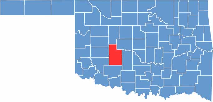

Location map of Caddo County, Oklahoma
CategoryDetails
County NameCaddo County
County SeatAnadarko
EtymologyNamed after the Caddo Native American tribe
Cities, Towns, and CommunitiesAnadarko, Apache, Binger, Carnegie, Cement, Cyril, Fort Cobb, Gracemont, Hinton
Interstates and HighwaysU.S. Highway 62, U.S. Highway 281, State Highway 8, State Highway 9, State Highway 19
FIPS Code40-015
Total Area (Land and Water)1,290 square miles (1,278 sq mi land, 12 sq mi water)
Adjacent Counties (and Direction)Blaine County (North), Canadian County (Northeast), Grady County (East), Comanche County (South), Kiowa County (Southwest), Washita County (West), Custer County (Northwest)
Time ZoneCentral Time Zone (CST)
StateOklahoma
Coordinates35°04’N, 98°22’W
Major LandmarksWichita Mountains Wildlife Refuge, Southern Plains Indian Museum, Anadarko Heritage Museum
PopulationApproximately 27,000
Scroll to Top