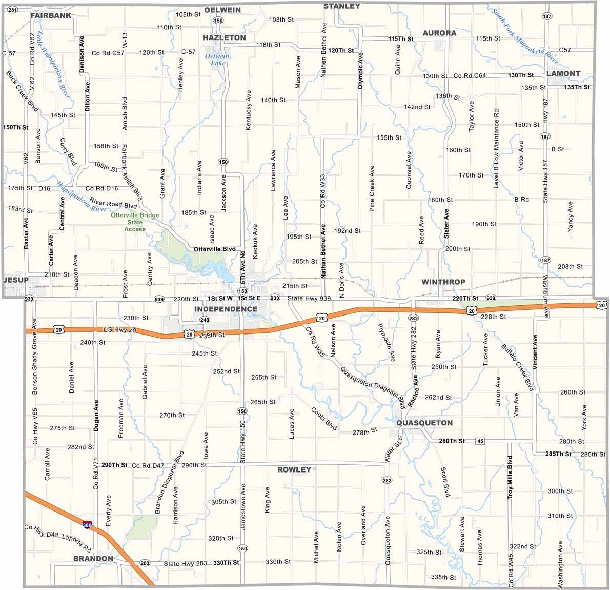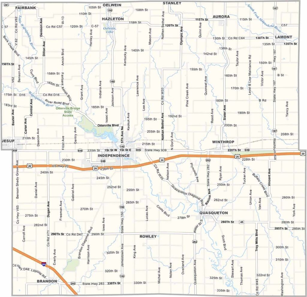
Buchanan County, Iowa

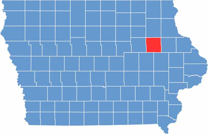
Buchanan County is located in northeastern Iowa, where the Wapsipinicon River winds through the landscape and adds to the county’s scenic rural character.

Independence, the county seat of Buchanan County, is home to the historic Wapsipinicon Mill, a notable landmark that reflects the community’s milling heritage and local history.

With a population of around 21,000, Buchanan County combines rural traditions with outdoor recreation. The Amish community near Hazleton reflects a simpler way of life, while Buffalo Creek west of Winthrop is a popular destination for trout fishing. U.S. Highway 20 provides an important transportation route through the county, offering convenient access to surrounding areas.

CategoryDetails
County NameBuchanan County
County SeatIndependence
EtymologyNamed after James Buchanan, the 15th President of the United States
Cities, Towns, and CommunitiesIndependence, Jesup, Fairbank, Winthrop, Aurora, Quasqueton, Lamont, Rowley, Brandon, Hazleton
Interstates and HighwaysU.S. Highway 20, Iowa Highway 150, Iowa Highway 281
FIPS Code19-019
Total Area (Land and Water)573 square miles (land: 571 sq mi, water: 2 sq mi)
Adjacent Counties (and Direction)Clayton County (Northeast), Fayette County (North), Delaware County (East), Linn County (Southeast), Benton County (Southwest), Black Hawk County (West), Bremer County (Northwest)
Time ZoneCentral Time Zone (CST)
StateIowa
Coordinates42.47°N, 91.83°W
Major LandmarksCedar Rock State Park, Wapsipinicon Mill, Heartland Acres Agribition Center, Fontana Park
Population20,000
Scroll to Top