
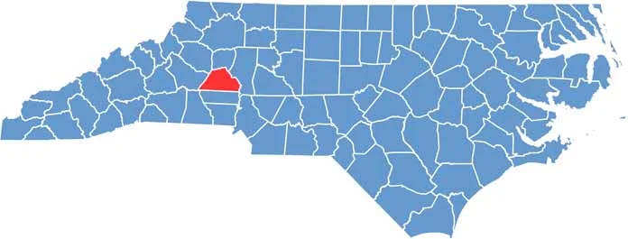
Catawba County lies in western North Carolina and is part of the Charlotte metro area. Hickory, the largest city, is famous for its furniture making.
German food fans will feel right at home here. The county is full of parks and trails, and Lake Norman is a great spot for boating. Newton is the county seat.
The arts scene is thriving, and the Hickory Motor Speedway is known as the "Birthplace of the NASCAR Stars." Visitors can even tour a nuclear power plant. Overall, the area has a strong manufacturing heritage.
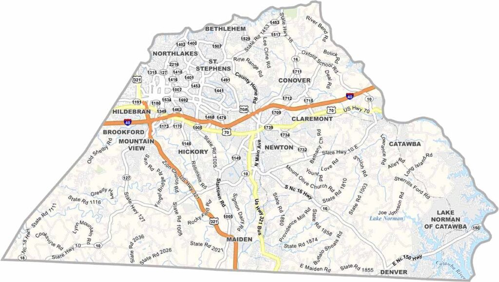
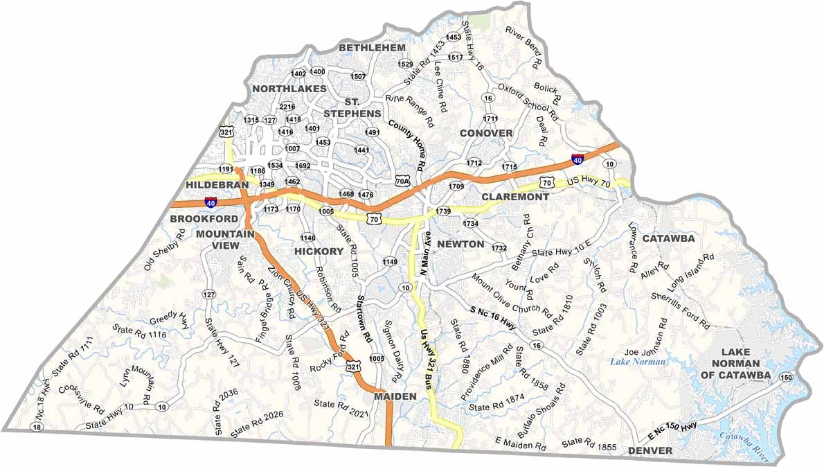
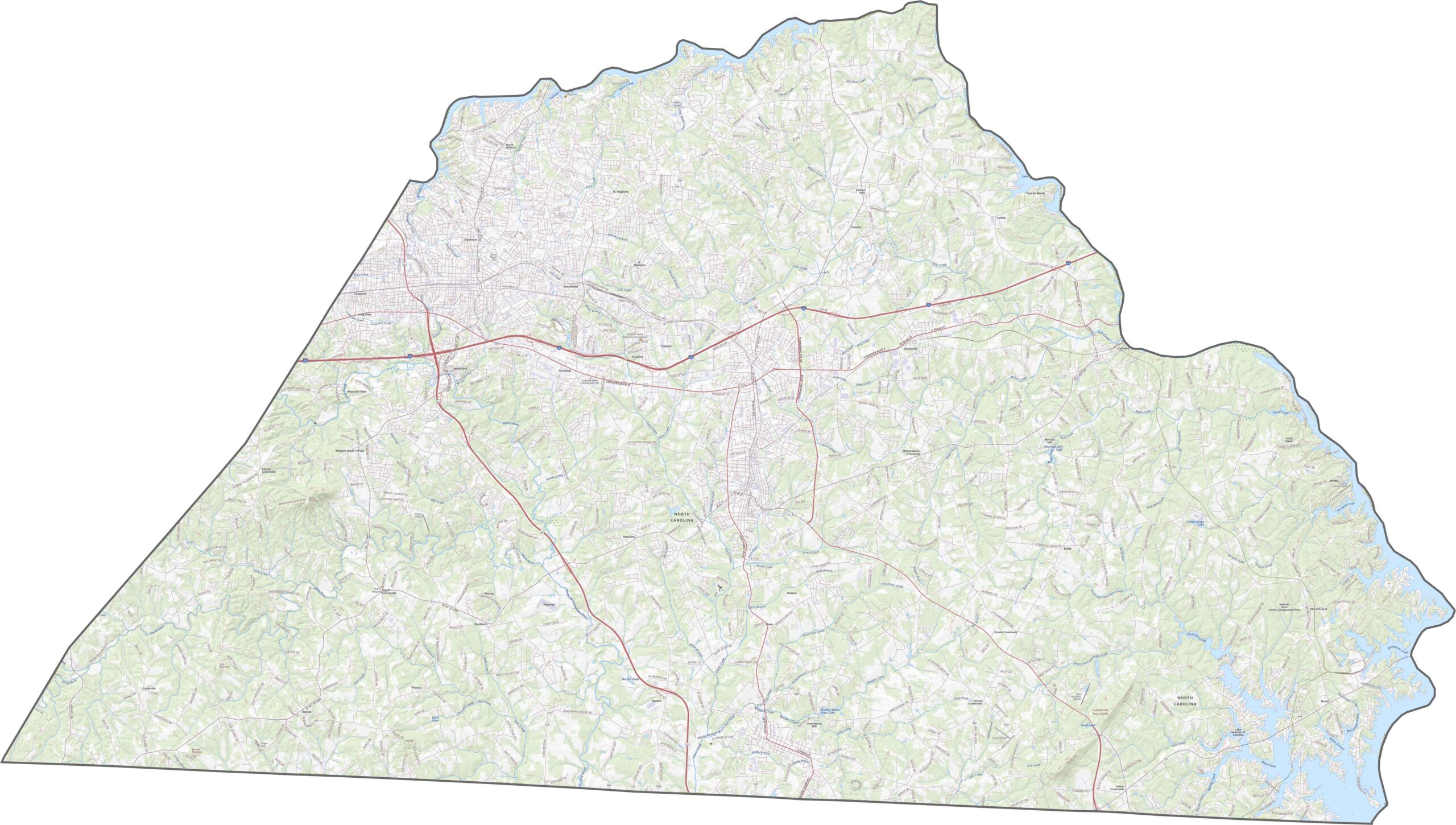
Catawba County has solid east-west access. Interstate 40 runs straight across the top of the county, linking Hickory to the rest of the state. U.S. Route 321 runs north to south and intersects near Newton. Despite the hills, the county stays well connected. Try our zoom tool to explore the road map below.
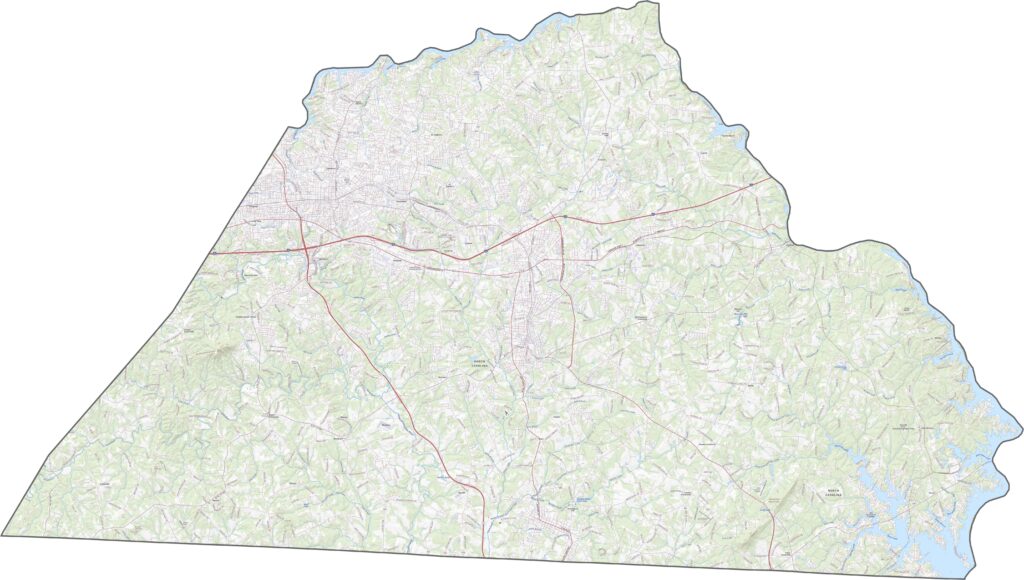
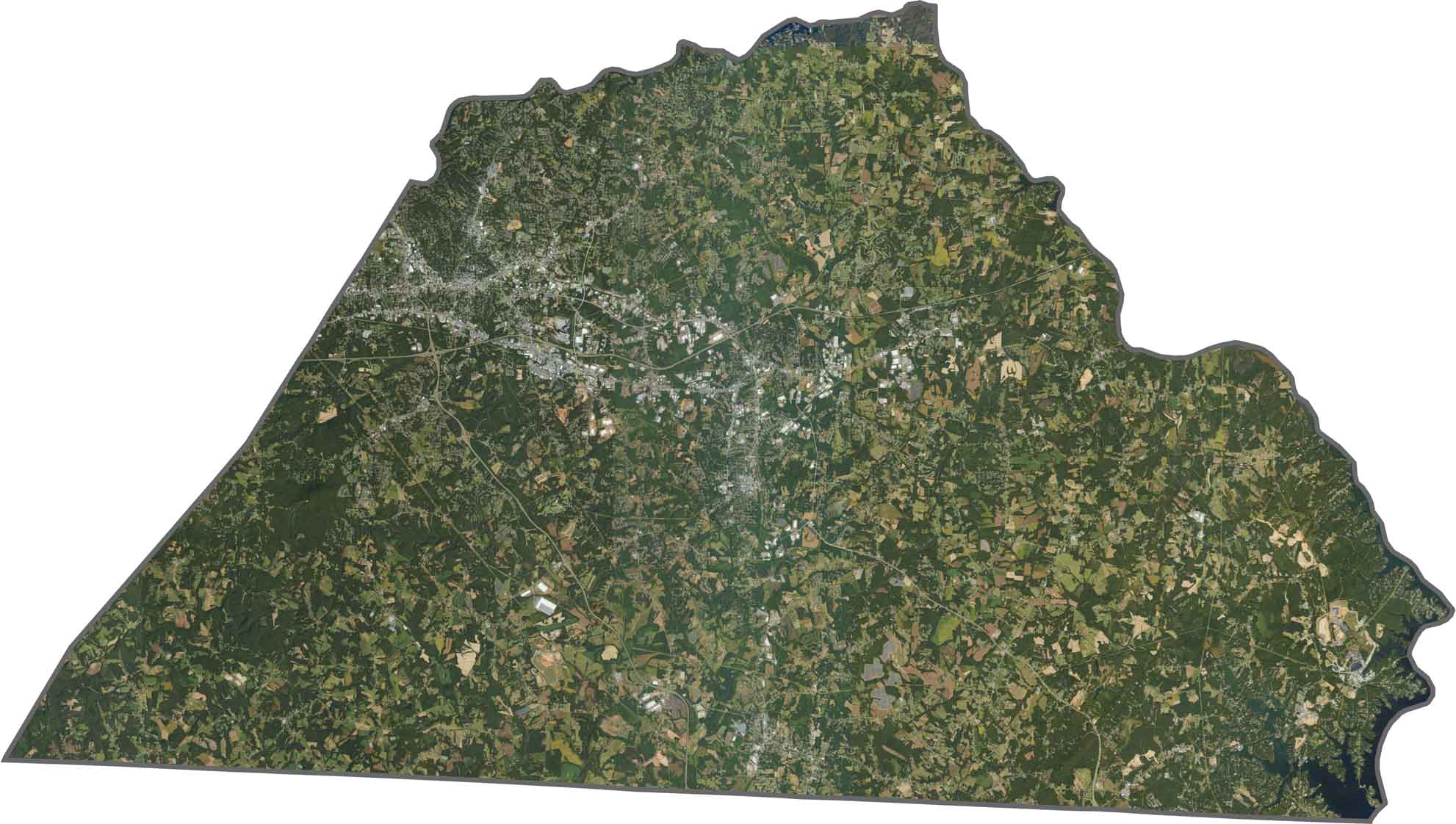
Lake Hickory curves across the landscape and is probably the first thing you notice. The city of Hickory appears as a dense cluster surrounded by green. Despite urban growth, forests fill many of the gaps. Farmland is scattered about, but woods cover most of the area.
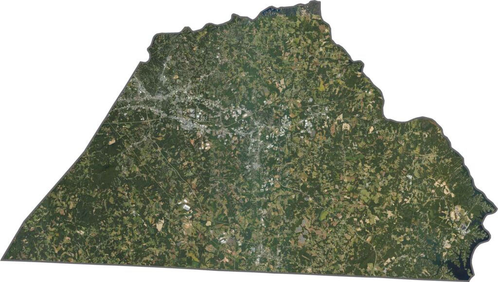
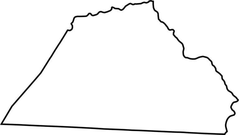
Catawba County has a wide, irregular shape stretched from east to west. Lake Hickory and the Catawba River mark much of the northern border. The county does not touch another state, and most of its edges are clean.








North Carolina’s 100 counties each have their own personality. Some embrace beach life, while others are known for barbecue or bluegrass. Sometimes, you’ll find all three in one place. Across the state, there are waterfalls, farmland, and NASCAR.