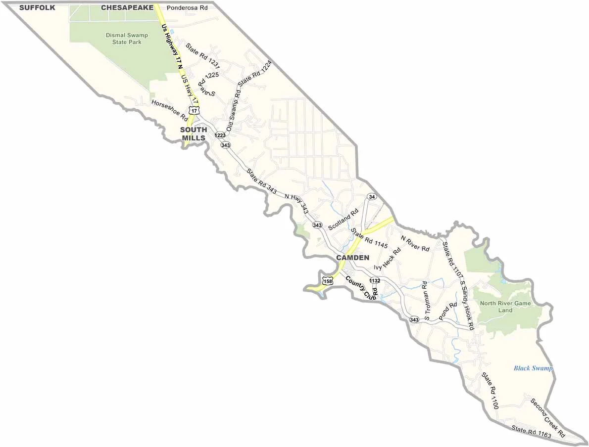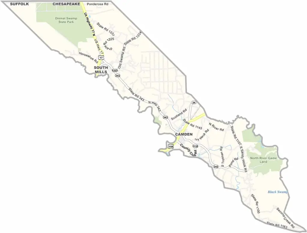
Camden County Map, North Carolina

Camden County, North Carolina

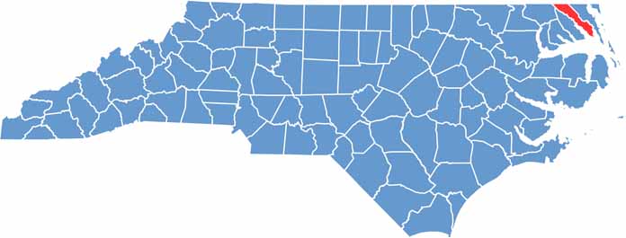
Water is everywhere in Camden County, which lies far out on the northeast coast of North Carolina. The Dismal Swamp Canal runs right through it, and you can kayak for days.

It is one of the least populated counties in the state, but that shouldn’t fool anyone, because the area is steeped in history. Camden was a stop on the Underground Railroad, and Shiloh is home to the oldest Baptist church in the state.

Fishing is big business, and so is agriculture. It is a quiet place, perfect for getting away from it all, where peaceful waterways meet rich history.

CategoryDetails
County NameCamden County
County SeatCamden
EtymologyNamed after Charles Pratt, 1st Earl Camden
Cities, Towns, and CommunitiesCamden, South Mills, Shiloh, Belcross
Interstates and HighwaysU.S. Route 158, North Carolina State Route 343
FIPS Code37-029
Total Area (Land and Water)343 square miles (295 sq mi land, 48 sq mi water)
Adjacent Counties (and Direction)City of Suffolk, Virginia (North), City of Chesapeake, Virginia (North), Currituck County (East), Tyrrell County (South), Pasquotank County (Southwest), Gates County (Northwest)
Time ZoneEastern Time Zone (ET)
StateNorth Carolina
Coordinates36.2320° N, 76.1540° W
Major LandmarksGreat Dismal Swamp National Wildlife Refuge, Camden County Courthouse
PopulationApproximately 10,000
Scroll to Top