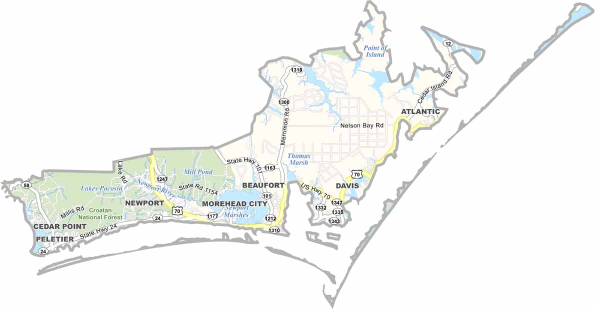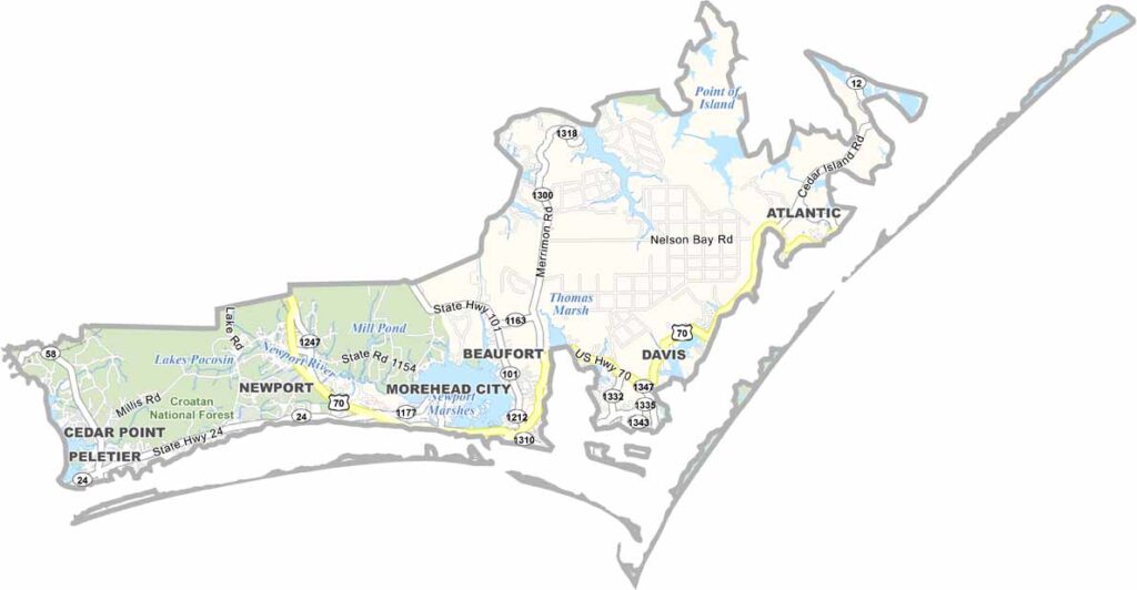
Carteret County Map, North Carolina

Carteret County, North Carolina

Beach lovers, take note: Carteret County has 85 miles of pristine shoreline. It sits on the central coast of North Carolina as part of the Crystal Coast, and wild horses still roam free here.

Beaufort, the county seat, oozes Southern charm. The North Carolina Aquarium at Pine Knoll Shores is a must-see, with touch pools, a submarine tank, otters, and sharks.

Morehead City is known for its sport fishing, and the county has a rich maritime history. Blackbeard’s ship, the Queen Anne’s Revenge, sank just offshore. There is always an adventure waiting in Carteret County.
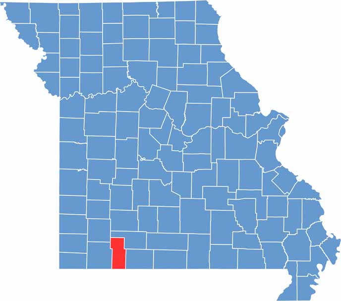

Printable Stone County Missouri location map showing county location and boundaries
CategoryDetails
County NameCarteret County
County SeatBeaufort
EtymologyNamed after John Carteret, 2nd Earl Granville
Cities, Towns, and CommunitiesBeaufort, Morehead City, Atlantic Beach, Emerald Isle
Interstates and HighwaysU.S. Route 70, North Carolina State Route 24, North Carolina State Route 58
FIPS Code37-031
Total Area (Land and Water)1,091 square miles (506 sq mi land, 585 sq mi water)
Adjacent Counties (and Direction)Jones County (North), Craven County (North), Pamlico County (North), Hyde County (Northeast), Onslow County (West)
Time ZoneEastern Time Zone (ET)
StateNorth Carolina
Coordinates34.7150° N, 76.6550° W
Major LandmarksCape Lookout National Seashore, Fort Macon State Park, Crystal Coast
PopulationApproximately 75,000
Scroll to Top