
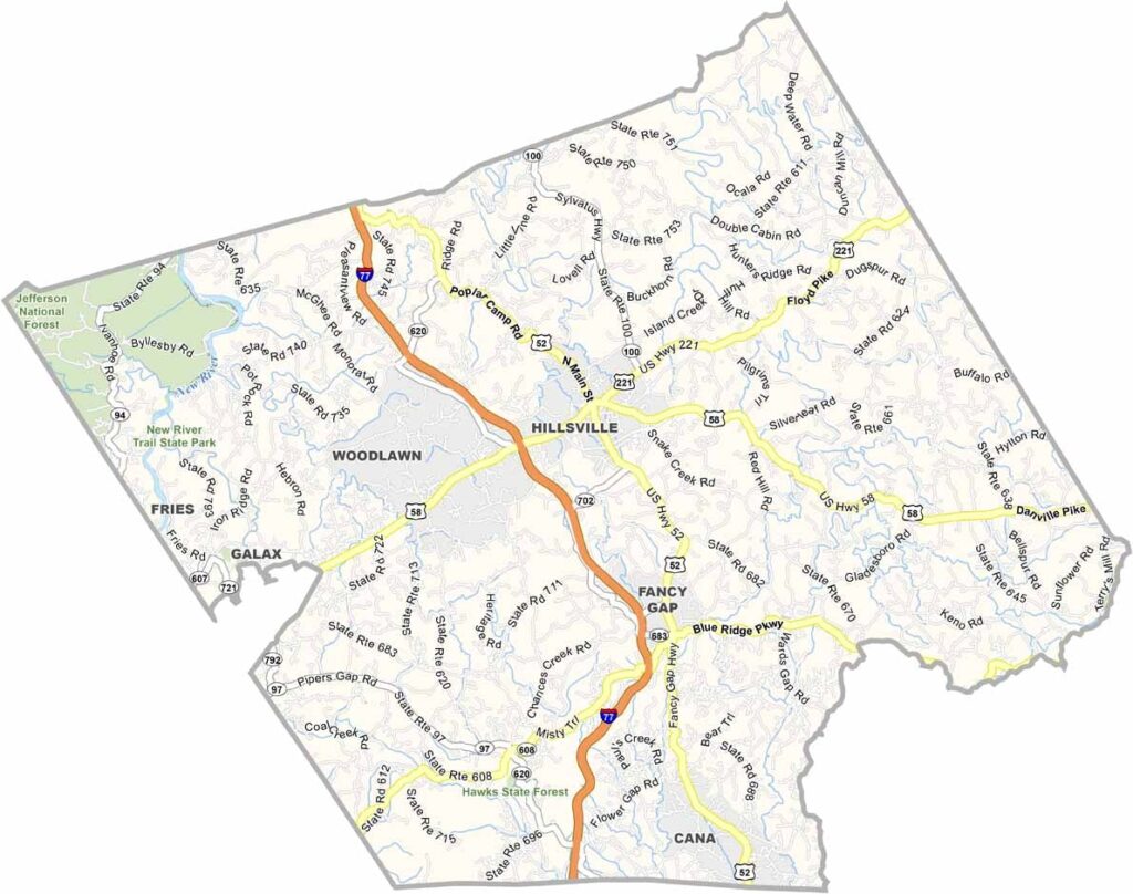
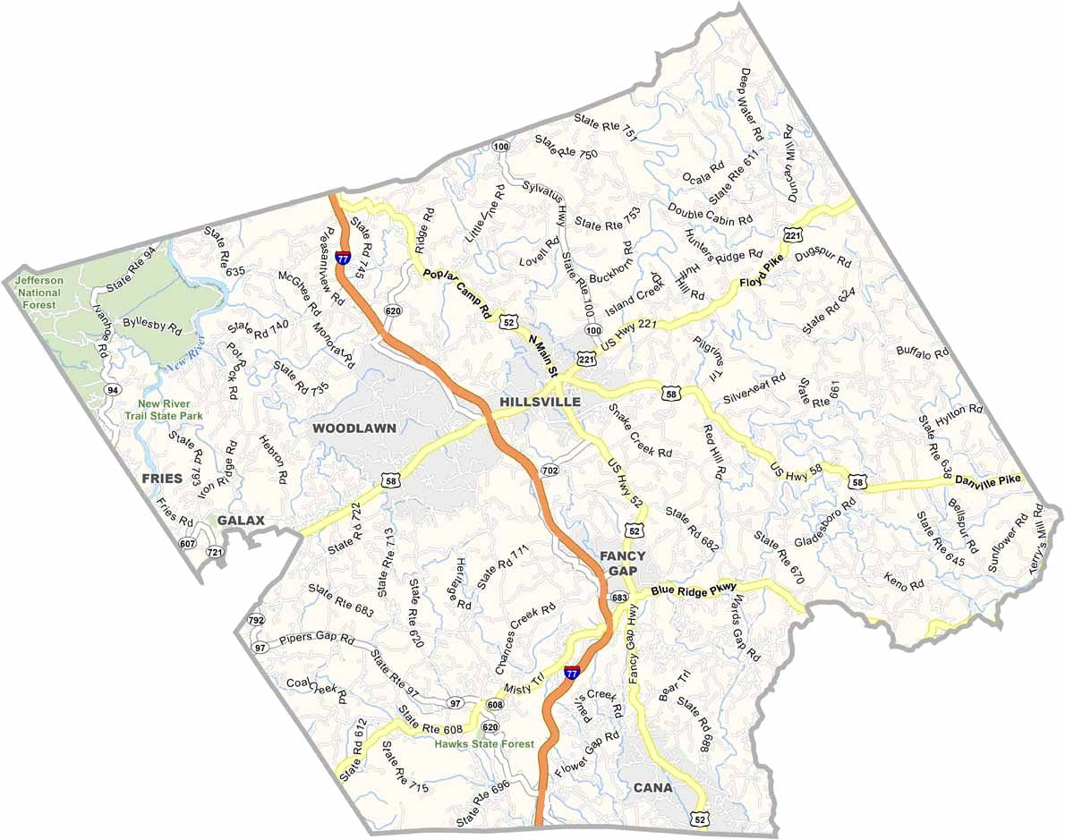
Carroll County, Virginia

Carroll County sits in Virginia’s Blue Ridge Highlands, right along the North Carolina border. This is outdoor country. If you like fresh air and wide-open scenery, you’ll feel right at home here.

The Blue Ridge Parkway runs through the county, offering some seriously beautiful views along the way. New River Trail State Park is another big attraction, with plenty of opportunities for hiking, biking, fishing, and exploring.

Hillsville, the county seat, has a charming historic downtown that feels like a trip back in time. Carroll County is also known for its apples, with an annual apple festival bringing folks together every fall. It’s peaceful rural living, but there’s always a little adventure waiting around the corner.

Printable Stone County Missouri location map showing county location and boundaries
CategoryDetails
County NameCarroll County
County SeatHillsville
Cities, Towns, and CommunitiesHillsville, Woodlawn, Fancy Gap, Cana, Laurel Fork
Interstates and HighwaysI-77, US-52, US-221, VA-100
EtymologyNamed after Charles Carroll of Carrollton, a signer of the Declaration of Independence
FIPS Code51-035
Total Area (Land and Water)478 sq mi (Land: 475 sq mi; Water: 3 sq mi)
Time ZoneEastern Time Zone (ET)
StateVirginia
Coordinates36.7279° N, 80.7344° W
Major LandmarksBlue Ridge Parkway, Shot Tower Historical State Park, Carroll County Courthouse
Adjacent Counties (and Direction)Galax City (West), Grayson County (West), Wythe County (Northwest), Pulaski County (North), Floyd County (Northeast), Patrick County (Southeast), Surry County, North Carolina (South)
PopulationApproximately 29,000
Scroll to Top