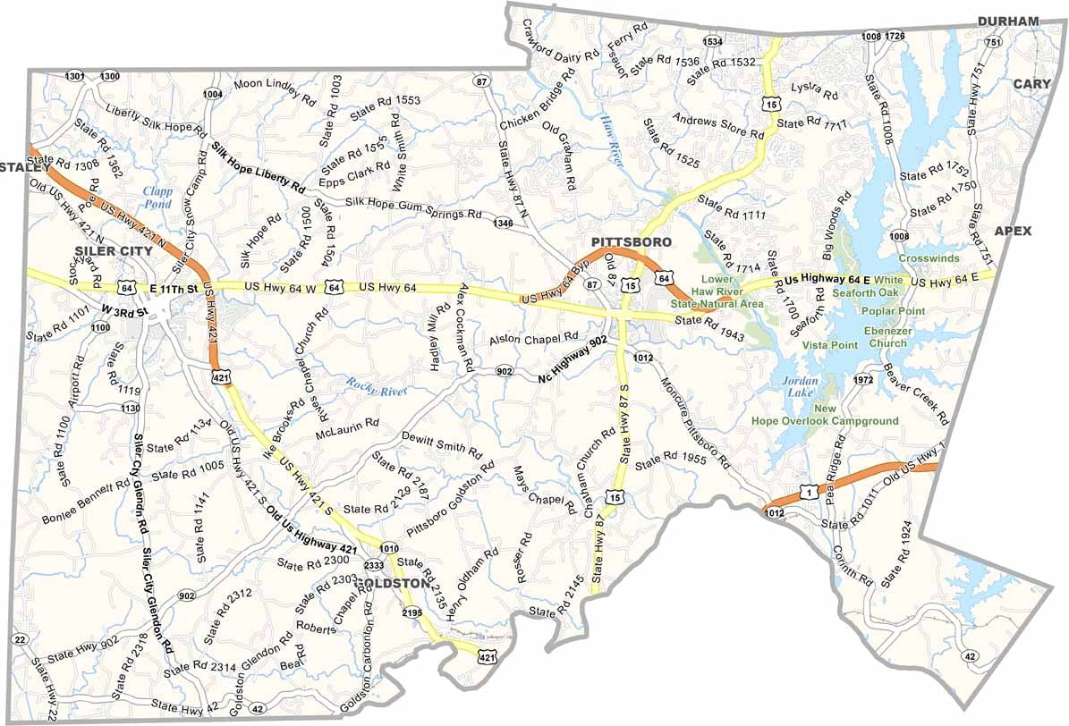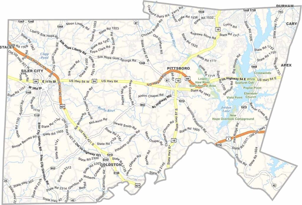
Chatham County Map, North Carolina

Chatham County, North Carolina

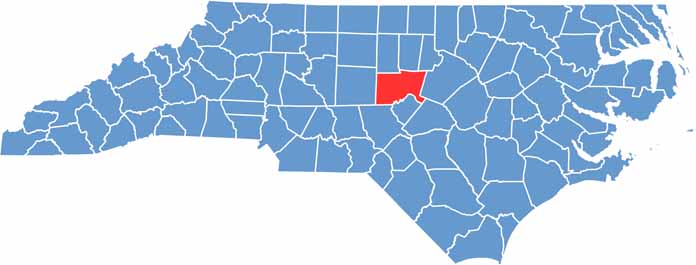
Artists and farmers call Chatham County home. It sits in the heart of North Carolina, just west of Raleigh and south of Chapel Hill.

Pittsboro, the county seat, has a lively arts scene. Jordan Lake is a popular spot for camping and fishing, and the county is known for its sustainable agriculture.

Fearrington Village feels like a step back in time, with antique shops all around the area. Chatham County combines artsy vibes with fields that stretch on for days. It is a place where trails meet farms, and locals keep it real.

CategoryDetails
County NameChatham County
County SeatPittsboro
EtymologyNamed after William Pitt, 1st Earl of Chatham
Cities, Towns, and CommunitiesPittsboro, Siler City, Goldston, Bear Creek
Interstates and HighwaysU.S. Route 64, North Carolina State Route 87, North Carolina State Route 15
FIPS Code37-037
Total Area (Land and Water)707 square miles (682 sq mi land, 25 sq mi water)
Adjacent Counties (and Direction)Durham County (Northeast), Orange County (North), Alamance County (Northwest), Wake County (East), Harnett County (Southeast), Lee County (South), Moore County (Southwest), Randolph County (West)
Time ZoneEastern Time Zone (ET)
StateNorth Carolina
Coordinates35.7210° N, 79.2230° W
Major LandmarksJordan Lake, North Carolina Zoo, Chatham Historical Museum
PopulationApproximately 85,000
Scroll to Top