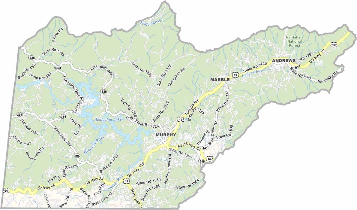
Cherokee County Map, North Carolina

Cherokee County, North Carolina

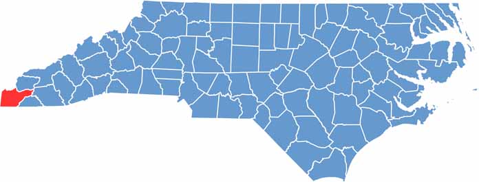
Cherokee County is tucked away in the southwest corner of North Carolina. Murphy is the county seat, and the county’s strong Cherokee heritage is where its name comes from.

Mountain views go on for days, and the Appalachian Trail cuts through the county. Nantahala National Forest occupies the entire county, and the Hiwassee River is a popular place to fish.

The John C. Campbell Folk School keeps traditional crafts alive. The county is known for its gem mining, and visitors can even pan for gold in local streams, making this a true piece of mountain paradise.

CategoryDetails
County NameCherokee County
County SeatMurphy
EtymologyNamed after the Cherokee Native American tribe
Cities, Towns, and CommunitiesMurphy, Andrews, Brasstown, Marble
Interstates and HighwaysU.S. Route 19, U.S. Route 64, North Carolina State Route 141
FIPS Code37-039
Total Area (Land and Water)456 square miles (451 sq mi land, 5 sq mi water)
Adjacent Counties (and Direction)Graham County (North), Clay County (East), Macon County (East), Fannin County, Georgia (Southwest), Union County, Georgia (South), Polk County, Tennessee (West), Monroe County, Tennessee (Northwest)
Time ZoneEastern Time Zone (ET)
StateNorth Carolina
Coordinates35.0880° N, 84.0080° W
Major LandmarksNantahala National Forest, Hiwassee Lake, Murphy River Walk
PopulationApproximately 30,000
Scroll to Top