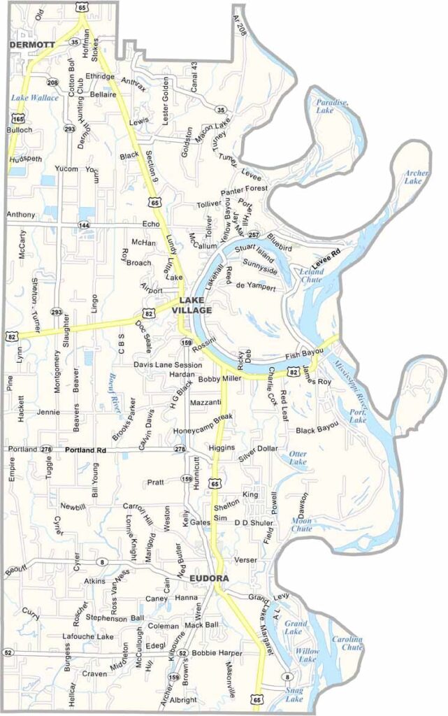
Chicot County Map Download Arkansas – Outline Map and Blank Map

Chicot County Map Download Arkansas – Outline Map and Blank Map

Chicot County, Arkansas

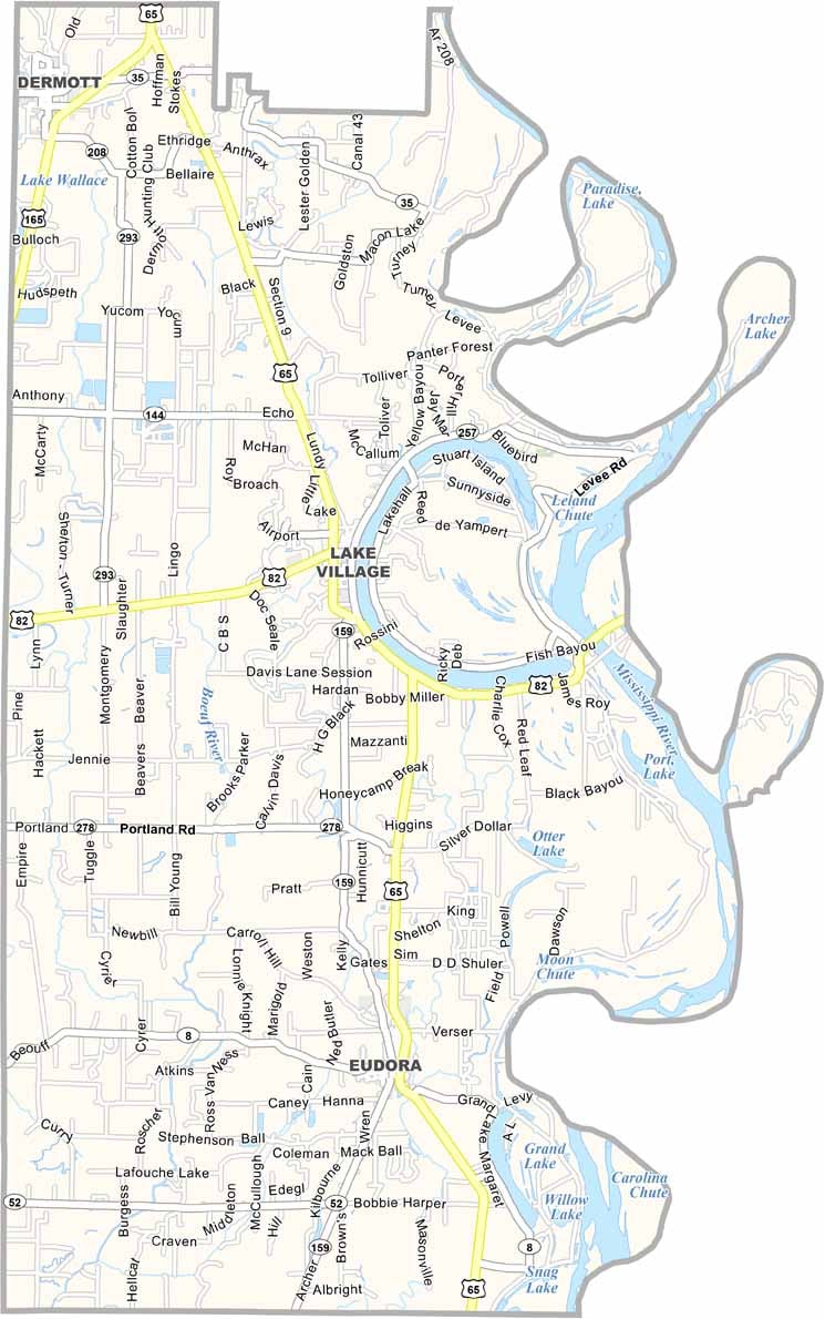
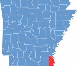
Chicot County is located in the southeastern corner of Arkansas along the Mississippi River. The area is known for its rich agricultural land, with cotton fields stretching across the landscape.

Lake Village serves as the county seat and sits along the shores of Lake Chicot, a large oxbow lake. Lake Chicot State Park is a popular destination for fishing, boating, and birdwatching.

Visitors can also explore Lakeport Plantation, the only remaining antebellum plantation home in Arkansas located along the Mississippi River that is open to the public.
CategoryDetails
County NameChicot County
County SeatLake Village
PopulationApproximately 10,800
Cities, Towns, and CommunitiesLake Village, Dermott, Eudora, Portland, Montrose, Reed, Parkdale
Interstates and HighwaysU.S. Route 65, U.S. Route 82, U.S. Route 165, State Route 8, State Route 52
FIPS Code05-017
Total Area (Land and Water)691 square miles (Land: 644 sq mi, Water: 47 sq mi)
Adjacent Counties (and Direction) Desha County (North), Bolivar County, Mississippi (Northeast), Washington County, Mississippi (East), Issaquena County, Mississippi (Southeast), East Carroll Parish, Louisiana (South), West Carroll Parish, Louisiana (South), Morehouse Parish, Louisiana (Southwest), Ashley County (West), Drew County (Northwest)
Time ZoneCentral Standard Time (CST)
StateArkansas
Coordinates33.2645° N, 91.2501° W
EtymologyNamed after Point Chicot on the Mississippi River
Major LandmarksLake Chicot State Park, Lakeport Plantation, Mississippi River State Park, Connerly Bayou
Scroll to Top