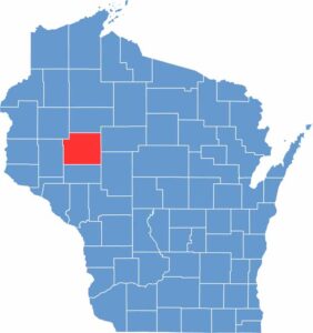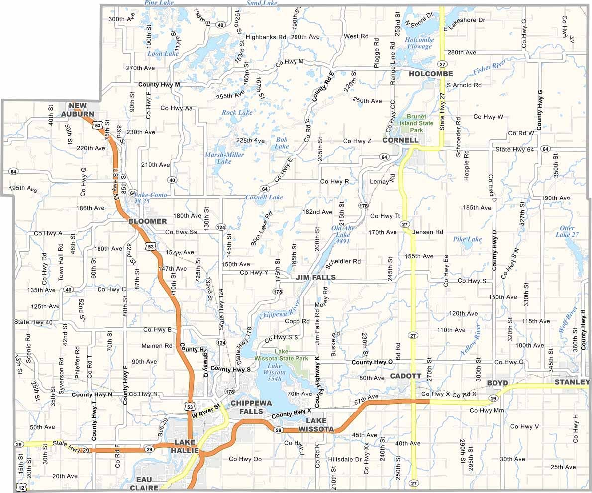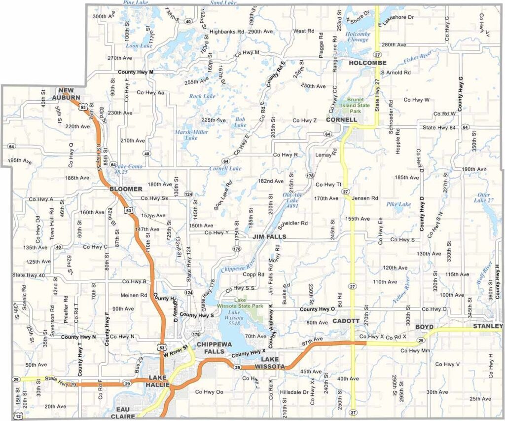
Chippewa County sits in northwestern Wisconsin and takes its name from the Ojibwe people, also known as the Chippewa. The county is a mix of rolling hills, thick forests, and productive farmland, giving the area a classic Wisconsin landscape.
Chippewa Falls, the county’s largest city, is home to the well-known Jacob Leinenkugel Brewing Company, making it a notable stop for beer lovers. Outdoor enthusiasts come here for fishing and hunting, while the Chippewa River offers great opportunities for kayaking and canoeing.
Winters can be cold and snowy, but locals know how to enjoy the season with ice fishing and snowmobiling. There’s also a strong sense of community here, where neighbors still look out for one another and small-town traditions remain a big part of everyday life.