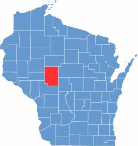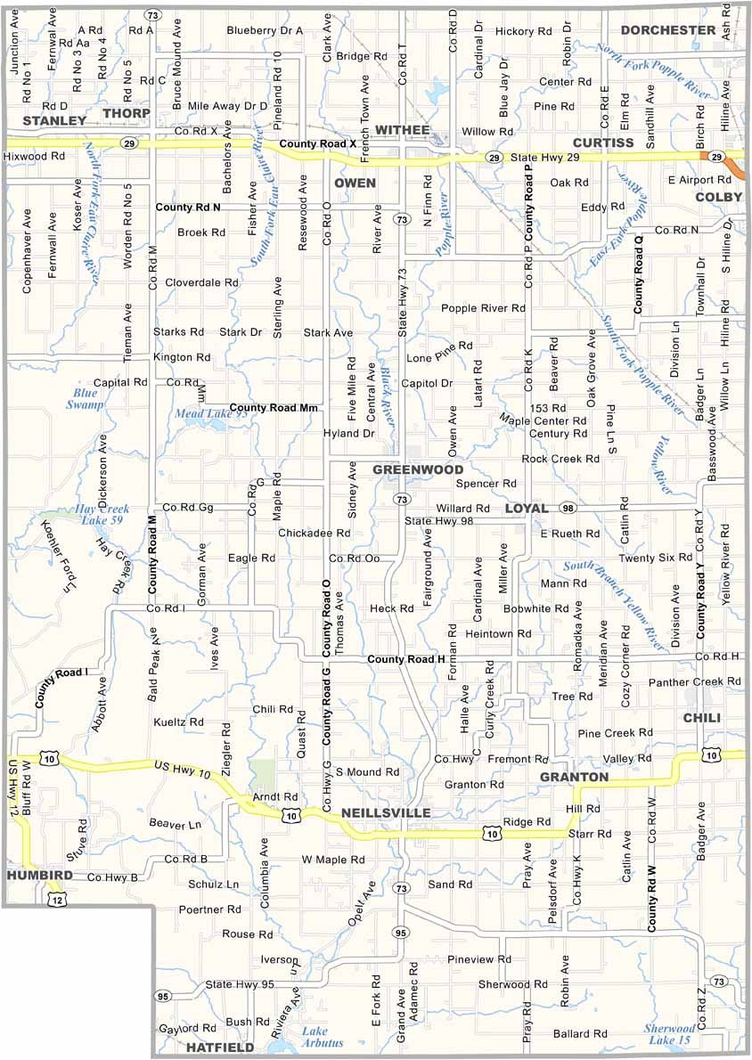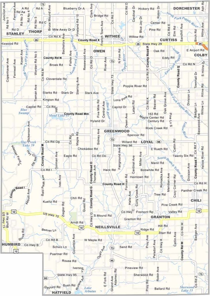
Clark County sits in the heart of Wisconsin, with Neillsville serving as the county seat. Just east of town, Highground Veterans Memorial Park stands as a meaningful tribute to those who served in the military.
The county is mostly rural, with forests and farms stretching across the landscape. Maple syrup is a local favorite, and when spring arrives, the scent of fresh maple seems to fill the air. The Black River State Forest adds even more outdoor appeal, offering miles of trails for hiking, biking, and exploring.
Winters can be long and snowy, but locals know how to embrace the season. Snowmobiling is a major part of life here, with trails drawing riders throughout the colder months. Clark County also has a strong Amish presence, adding another unique element to its quiet rural character.