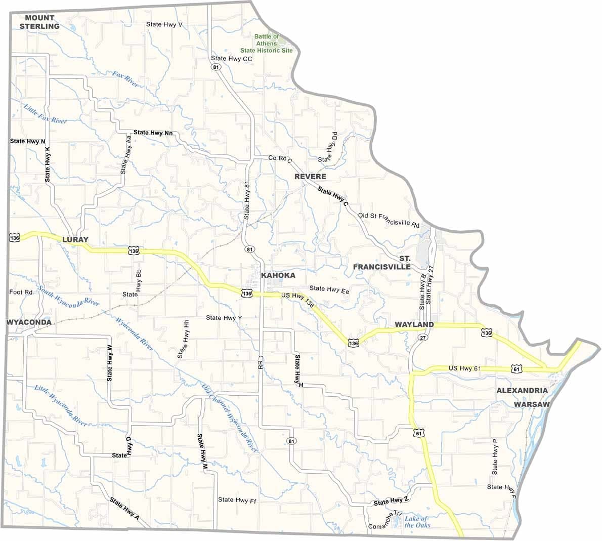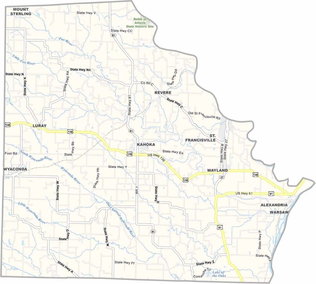
Clark County, Missouri

Missouri’s northeastern corner is home to Clark County, a small county with plenty of character. The county seat, Kahoka, serves as the center of local government and community life.

The Des Moines River forms the county’s eastern boundary, separating Missouri from Iowa. Agriculture drives the local economy, with corn, soybeans, and cattle dominating the landscape.

Clark County also has a fascinating place in regional history. It was involved in the Honey War, a boundary conflict between Missouri and Iowa in the 1830s. Today, the county blends historical significance, natural beauty, and a strong sense of community that continues to define life in this corner of the state.
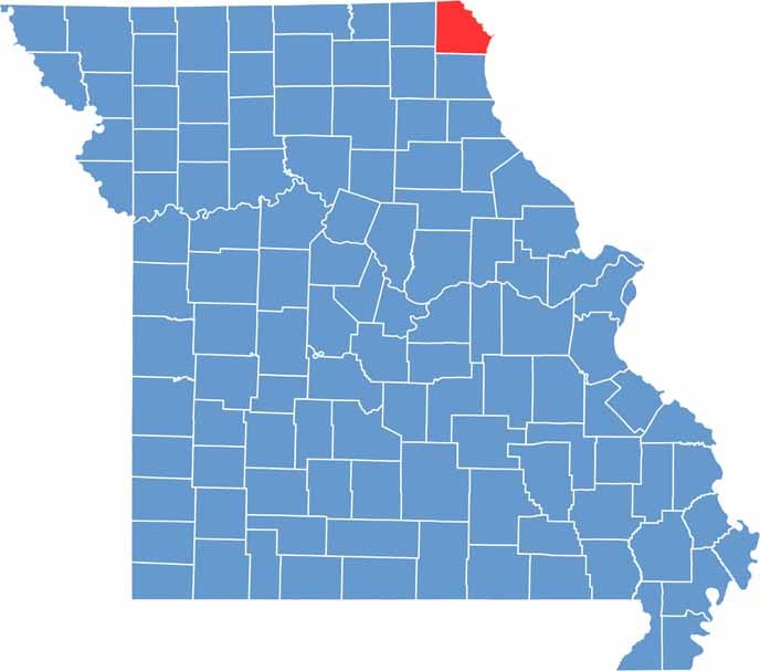

Clark County Location Map Missouri
Category Details
County Name Clark County
County Seat Kahoka
Cities, Towns, and Communities Kahoka, Wayland, Wyaconda, Alexandria, Luray, Revere
Interstates and Highways US 61, MO 27, MO 81
Population Approximately 7,000
FIPS Code 29-045
Total Area (Land and Water) 512 square miles (Land: 505 sq mi, Water: 7 sq mi)
Time Zone Central Time Zone (CT)
State Missouri
Coordinates 40.4150° N, 91.7367° W
Etymology Named after William Clark, an explorer and soldier
Major Landmarks Battle of Athens State Historic Site, Des Moines River, Fox River
Adjacent Counties (and Direction) Van Buren County, Iowa (North), Lee County, Iowa (Northeast), Hancock County, Illinois (East), Lewis County (South), Knox County (Southwest), Scotland County (West)
Scroll to Top