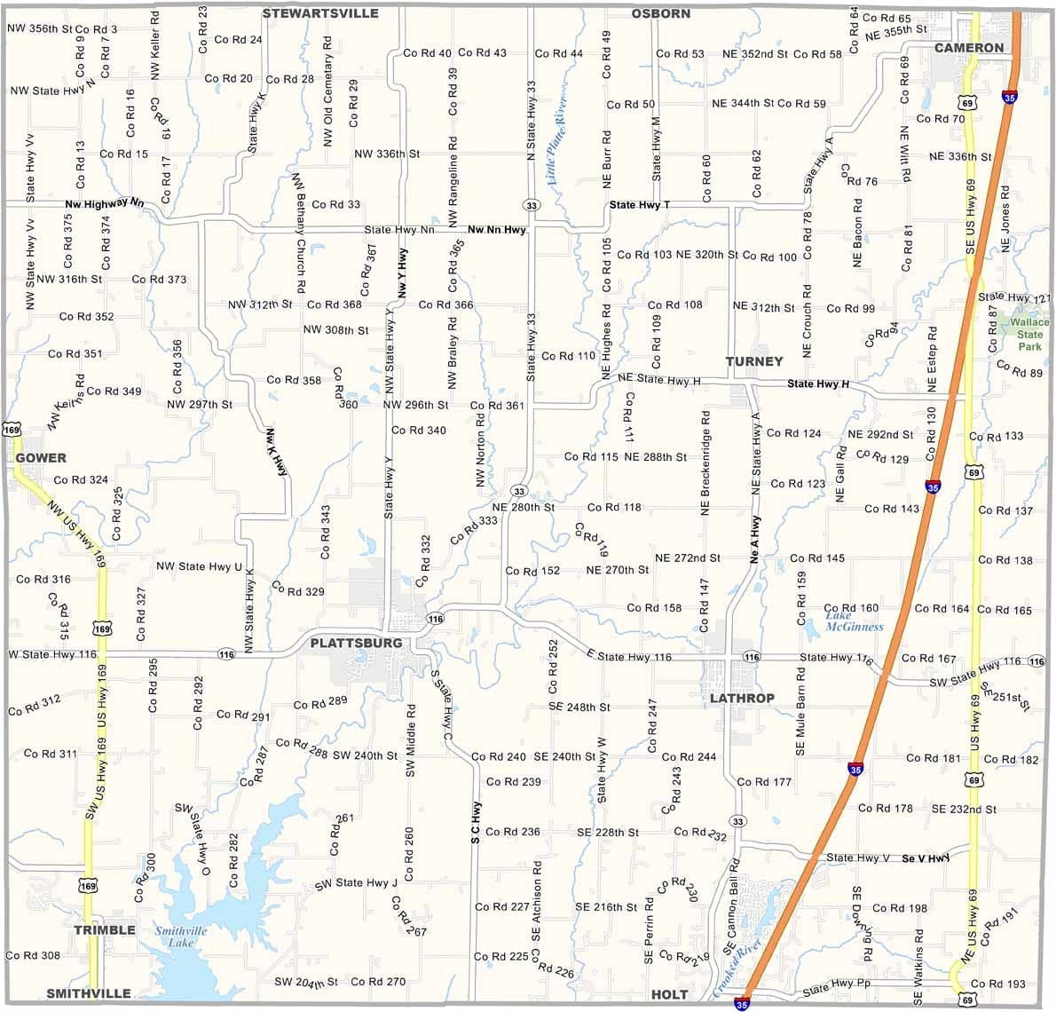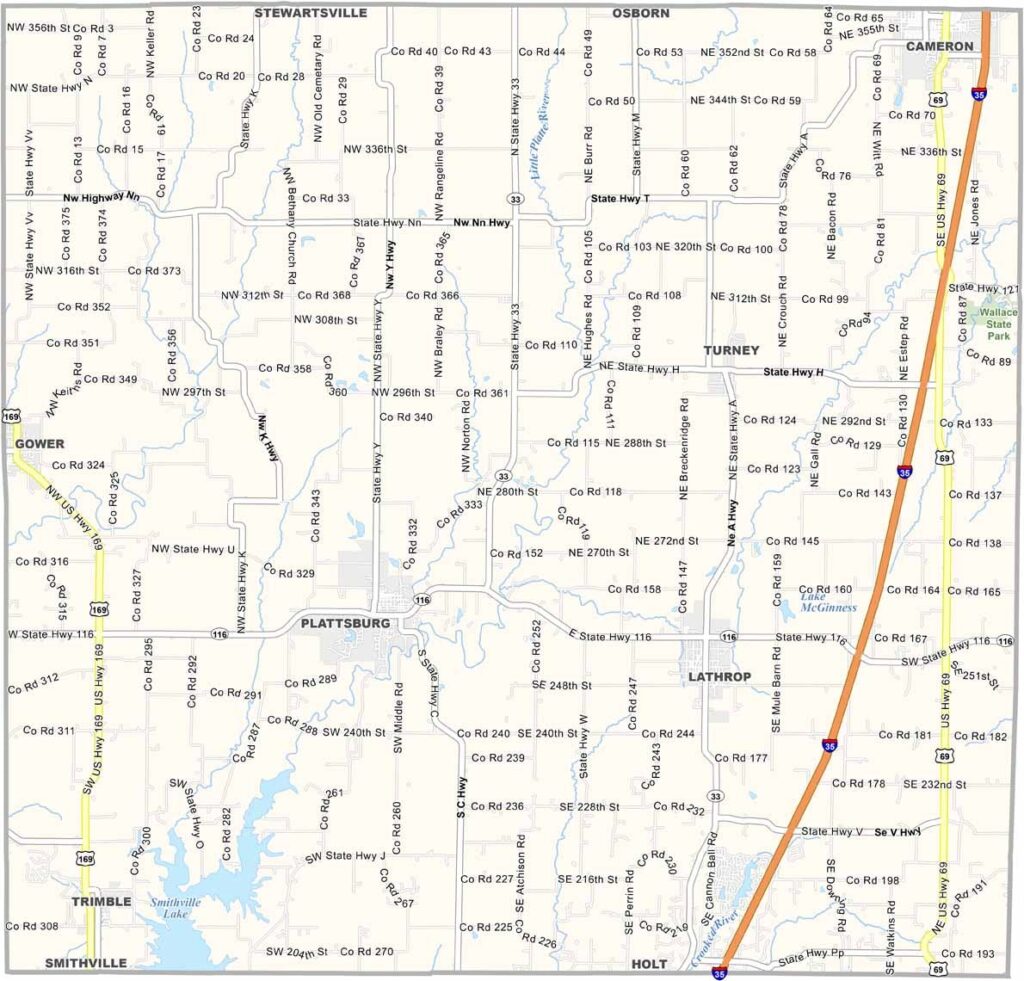
Clinton County, Missouri

Clinton County is located in northwest Missouri and is home to roughly 21,000 residents. The county seat, Plattsburg, is a welcoming community that reflects the county’s rural character.

Established in 1833, Clinton County has deep agricultural roots. Farmers throughout the area grow crops and raise livestock, helping sustain the local economy. Life is generally quiet, though the annual county fair brings plenty of excitement and community spirit each summer.

During the warmer months, families head to Smithville Lake to cool off and enjoy the outdoors. In autumn, vibrant foliage transforms the landscape, especially along the scenic banks of Shoal Creek.
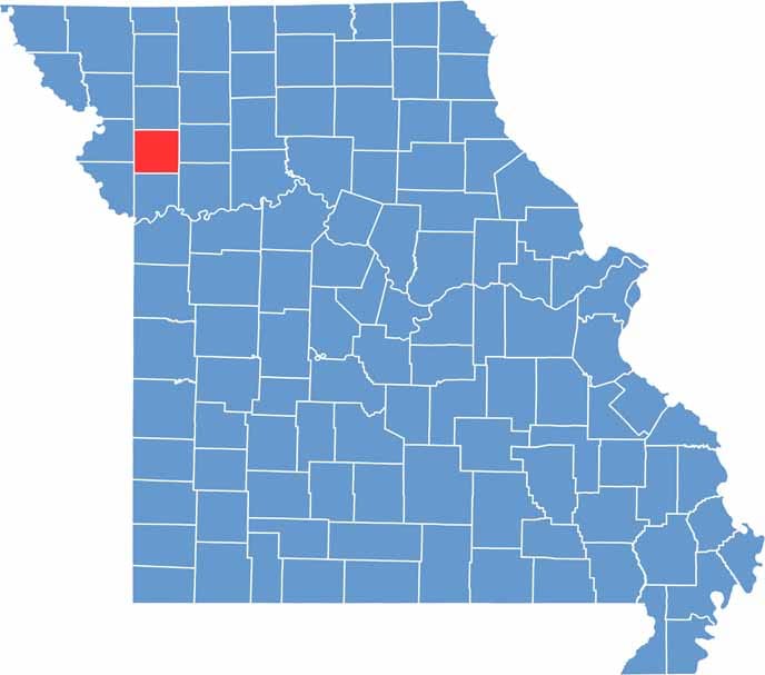

Clinton County Location Map Missouri
Category Details
County Name Clinton County
County Seat Plattsburg
Cities, Towns, and Communities Plattsburg, Cameron (part), Lathrop, Trimble, Gower, Turney, Holt
Interstates and Highways I-35, US 69, MO 33, MO 116
Population Approximately 20,000
FIPS Code 29-227
Total Area (Land and Water) 423 square miles (Land: 419 sq mi, Water: 4 sq mi)
Time Zone Central Time Zone (CT)
State Missouri
Coordinates 39.5867° N, 94.4091° W
Etymology Named after George Clinton, soldier and Governor of New York
Major Landmarks Wallace State Park, Clinton County Historical Museum, Smithville Lake (partially)
Adjacent Counties (and Direction) DeKalb County (North), Caldwell County (East), Ray County (Southeast), Clay County (South), Platte County (Southwest), Buchanan County (West)
Scroll to Top