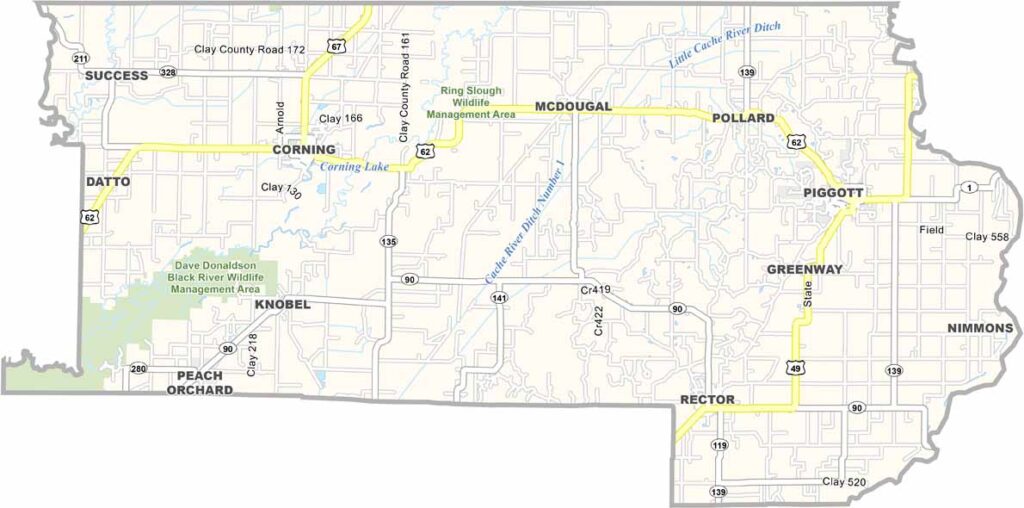
Clay County, Arkansas

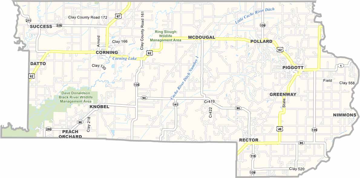
Clay County is located in northeast Arkansas along the Missouri border. The county is divided into two districts, with Piggott and Corning sharing county seat responsibilities.

The area’s flat farmland produces major crops such as rice, soybeans, and cotton. The Dave Donaldson Wildlife Management Area offers opportunities for outdoor recreation and fishing.

Piggott also has an unexpected connection to literary history. Ernest Hemingway wrote parts of A Farewell to Arms while staying in the Arkansas Delta, and visitors can still tour the Hemingway-Pfeiffer Museum and Educational Center today.

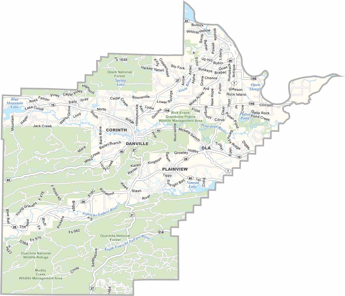
Printable Stone County Missouri location map showing county location and boundaries
CategoryDetails
County NameClay County
County SeatPiggott (Northern District), Corning (Southern District)
PopulationApproximately 14,500
Cities, Towns, and CommunitiesPiggott, Corning, Rector, Greenway, Peach Orchard, Knobel
Interstates and HighwaysU.S. Route 62, U.S. Route 67, U.S. Route 412, State Route 1, State Route 90, State Route 141
FIPS Code05-021
Total Area (Land and Water)641 square miles (Land: 639 sq mi, Water: 2 sq mi)
Adjacent Counties (and Direction) Butler County, Missouri (North), Dunklin County, Missouri (East), Greene County (South), Randolph County (West), Ripley County, Missouri (Northwest)
Time ZoneCentral Standard Time (CST)
StateArkansas
Coordinates36.3704° N, 90.4152° W
EtymologyNamed after John Clayton, a state senator (later shortened to Clay)
Major LandmarksHemingway-Pfeiffer Museum and Educational Center, Datto Battlefield, Black River Wildlife Management Area, Crowley’s Ridge
Scroll to Top