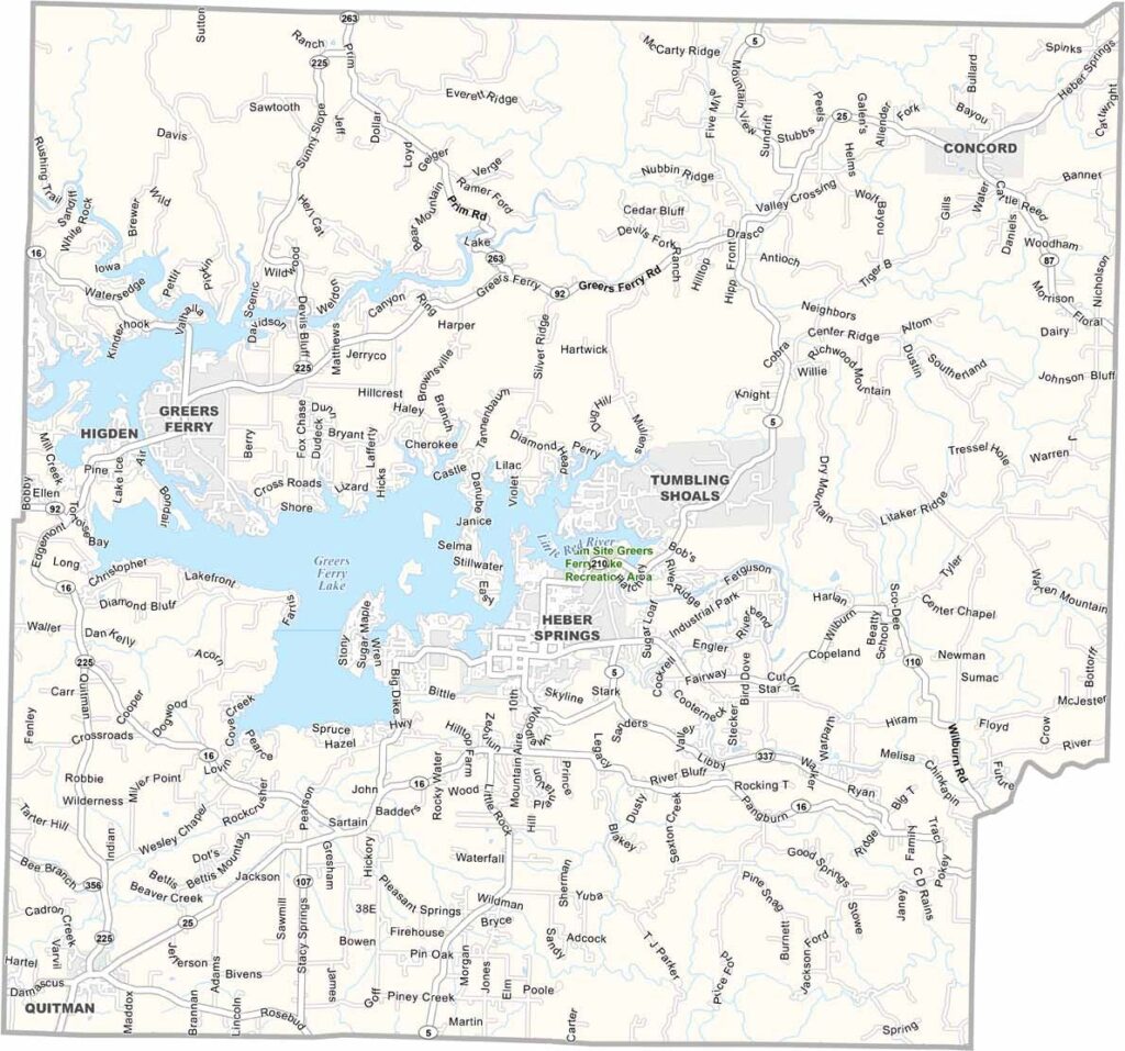
Cleburne County, Arkansas

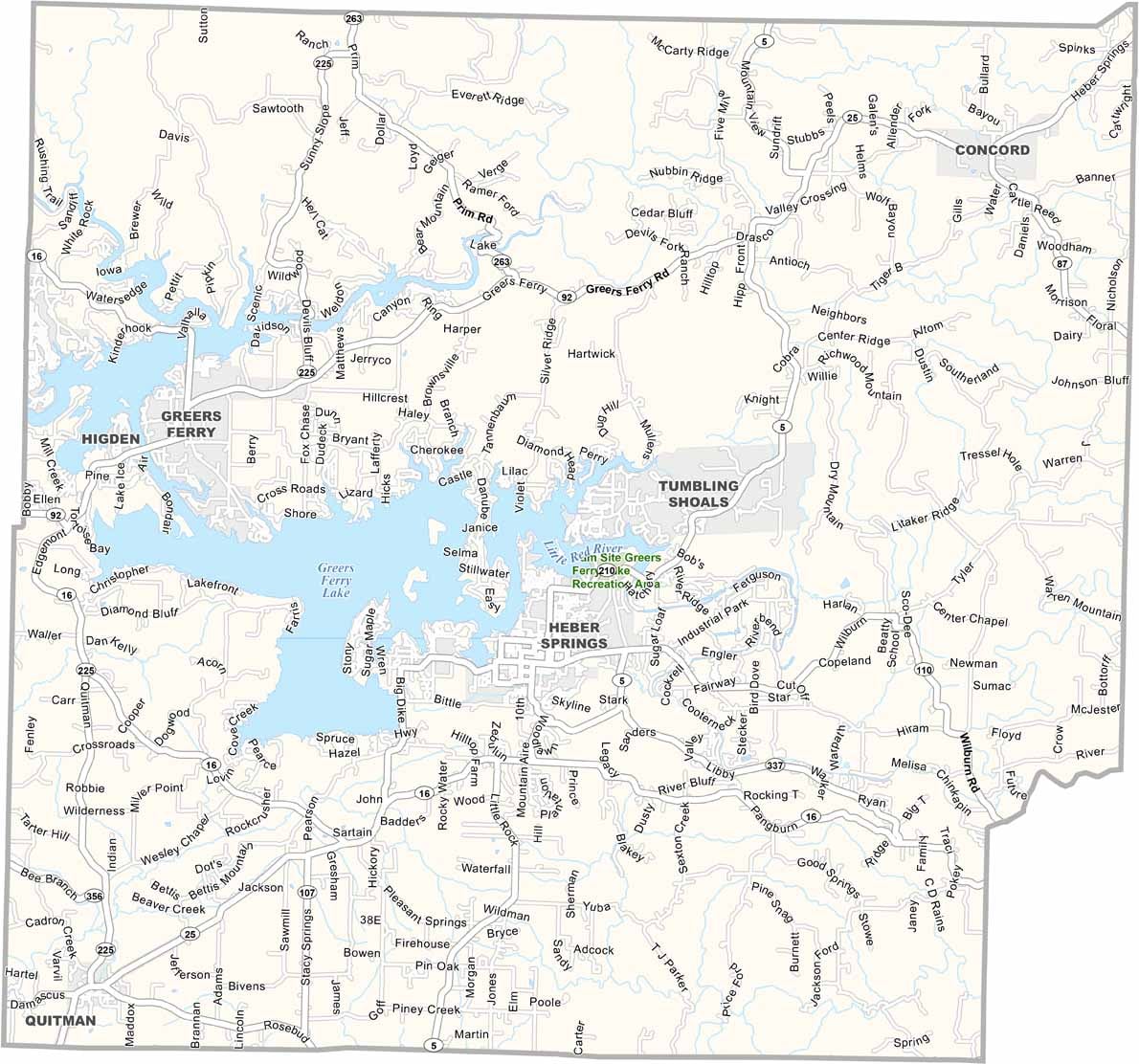
Cleburne County is located in north-central Arkansas and is closely associated with Greers Ferry Lake. This large reservoir attracts visitors from across the region for boating, fishing, and swimming.

Heber Springs, the county seat, sees an increase in visitors during the summer months. The Little Red River is well known for trout fishing, while Sugarloaf Mountain, an island in the lake, offers hiking trails and impressive views.

Cleburne County also has attractions beyond water recreation. The Sugarloaf Heritage Council hosts a popular fine arts festival each spring, while the annual World Championship Cardboard Boat Races provide one of the area’s most unusual and entertaining events.
CategoryDetails
County NameCleburne County
County SeatHeber Springs
PopulationApproximately 25,000
Cities, Towns, and CommunitiesHeber Springs, Quitman, Fairfield Bay (partly), Greers Ferry, Concord, Tumbling Shoals, Wilburn, Drasco
Interstates and HighwaysU.S. Route 65, State Route 5, State Route 16, State Route 25, State Route 110, State Route 124
FIPS Code05-023
Total Area (Land and Water)592 square miles (Land: 554 sq mi, Water: 38 sq mi)
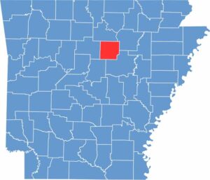
Adjacent Counties (and Direction) Stone County (North), Independence County (Northeast), White County (Southeast), Faulkner County (Southwest), Van Buren County (West)
Time ZoneCentral Standard Time (CST)
StateArkansas
Coordinates35.4914° N, 92.0244° W
EtymologyNamed after Patrick Cleburne, a Confederate general during the American Civil War
Major LandmarksGreers Ferry Lake, Little Red River, Sugarloaf Mountain, Sandy Beach Park, Heber Springs Community Center, Bridal Veil Falls, Mossy Bluff National Nature Trail
Scroll to Top