Cole County, Missouri

Jefferson City, the state capital, sits at the center of Cole County and has served as Missouri’s seat of government since 1826. The striking Missouri State Capitol dominates the skyline, its dome visible from miles away.

Cole County lies in the middle of the state, straddling the Missouri River. Yet the area is more than politics and government offices. Residents and visitors alike enjoy spending weekends on the Katy Trail State Park, one of the country’s longest rail-trails.

Beyond the urban core, city streets gradually give way to open farmland and rolling countryside. It’s a place where historic institutions, outdoor recreation, and small-town traditions still share the same landscape—from crisp autumn evenings to high school football games beneath the Friday night lights.
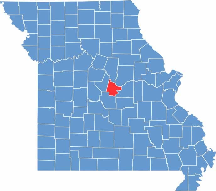

Cole County Location Map Missouri
Category Details
County Name Cole County
County Seat Jefferson City
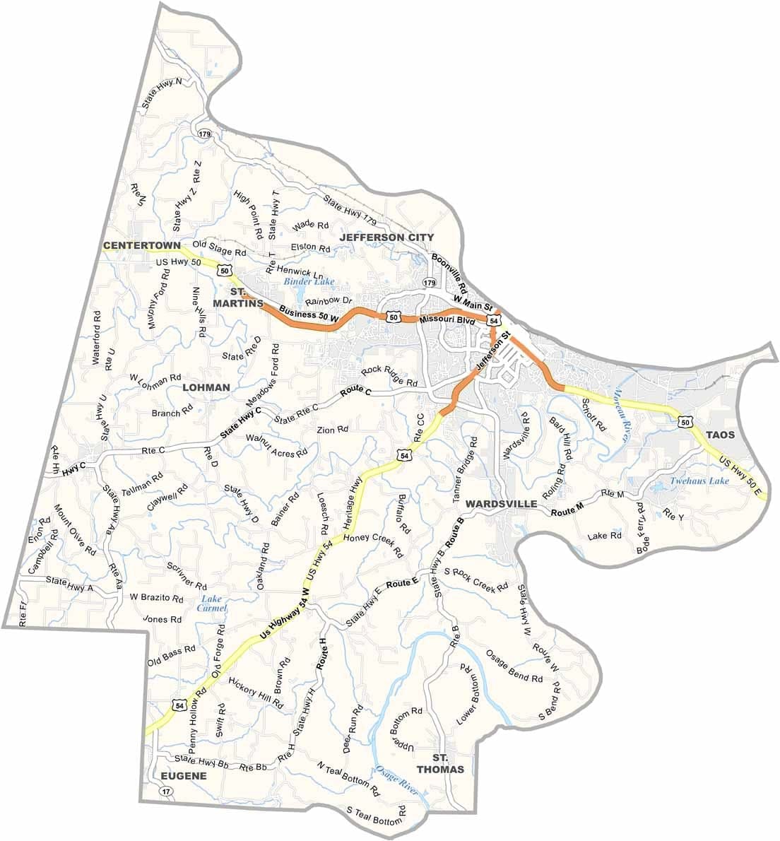
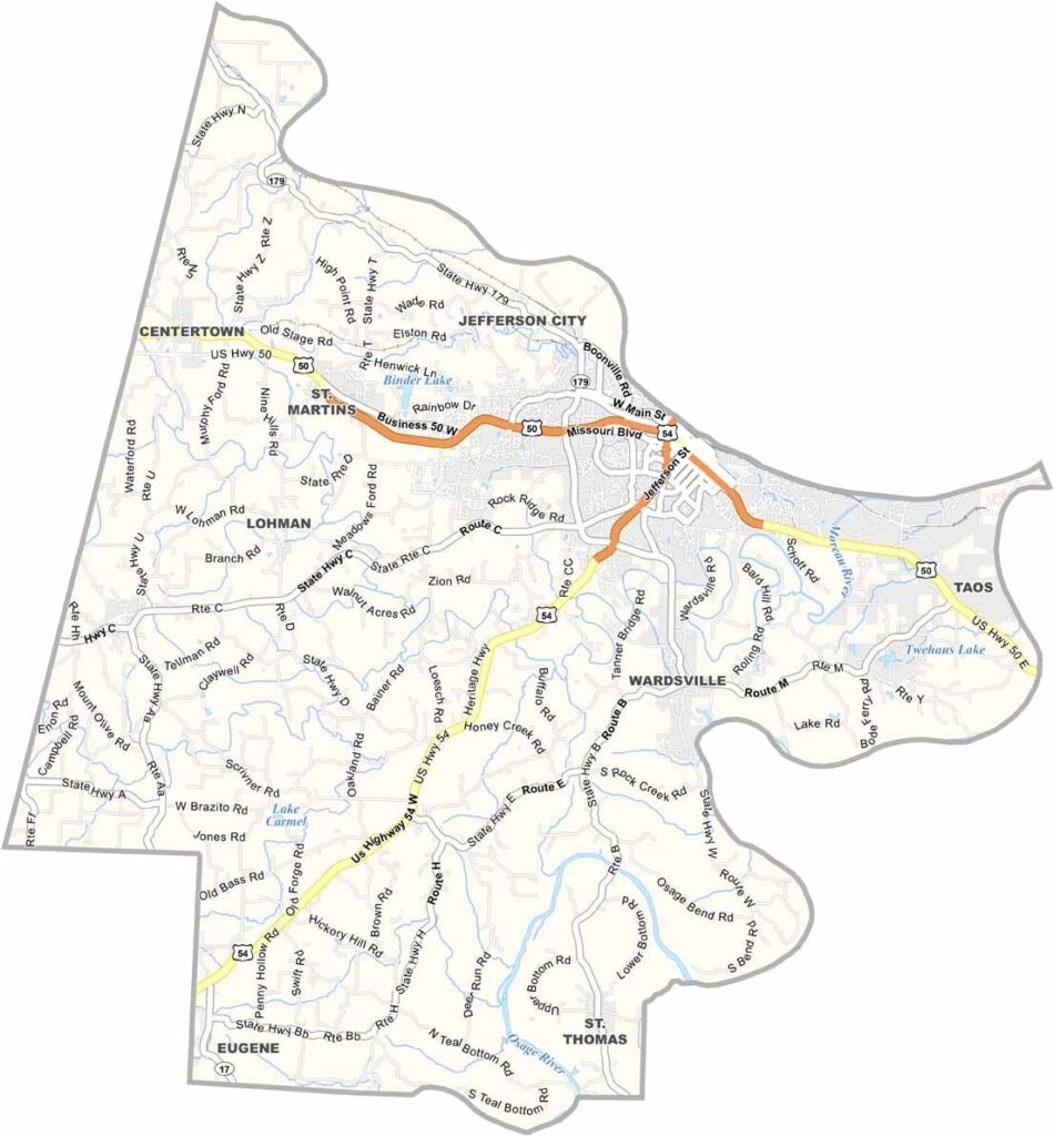
Cities, Towns, and Communities Jefferson City, Taos, Wardsville, St. Martins, Lohman, Centertown, Russellville, St. Thomas
Interstates and Highways US-50, US-54, US-63, MO-179
Etymology Named after Silas Wright, a U.S. Senator from New York
FIPS Code 29-051
Total Area (Land and Water) 402 sq mi (land: 394 sq mi, water: 8 sq mi)
Time Zone Central Time Zone (CT)
State Missouri
Coordinates 38.5012° N, 92.2530° W
Etymology Named after Stephen Cole, an early settler of the region
Major Landmarks Missouri State Capitol, Governor’s Mansion, Missouri State Penitentiary Museum
Adjacent Counties (and Direction) Boone County (North), Callaway County (Northeast), Osage County (Southeast), Miller County (Southwest), Moniteau County (Northwest)
Scroll to Top