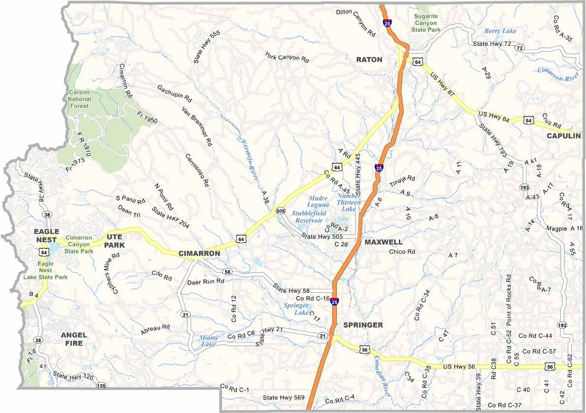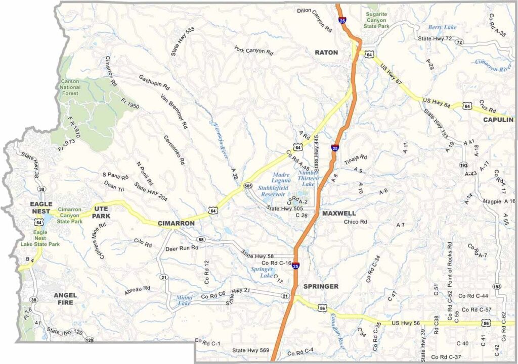
Colfax County Map, New Mexico

Colfax County, New Mexico

The northeastern corner of New Mexico is home to Colfax County, a place that has seen its share of Wild West action. It was the stomping ground of gunslingers and cattle barons, and Raton, the county seat, still has that frontier town feel.

But it's the outdoors that really shine here. The Sangre de Cristo Mountains loom large, offering a playground for hiking and skiing. Summers are cool and winters are snowy, a nice break from the desert heat. Hunting is big business in these parts, with elk and deer roaming the forests and grasslands.

The county's history is tied to the Santa Fe Trail, and you can still see wagon ruts if you know where to look. Folks here are friendly and down-to-earth, and they love sharing stories about their corner of New Mexico, bordering Colorado.
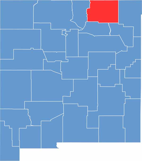

Colfax County location map of New Mexico
CategoryDetails
County NameColfax County
County SeatRaton
EtymologyNamed after Schuyler Colfax, 17th Vice President of the United States
Cities, Towns, and CommunitiesRaton, Angel Fire, Cimarron, Springer, Maxwell
Interstates and HighwaysInterstate 25, U.S. Route 64, U.S. Route 87
FIPS Code35-007
Total Area (Land and Water)3,768 square miles (3,758 sq mi land, 10 sq mi water)
Adjacent Counties (and Direction)Taos County (West), Mora County (South), Harding County (South), Union County (East), Las Animas County, Colorado (North), Costilla County, Colorado (Northwest)
Time ZoneMountain Time Zone (MT)
StateNew Mexico
Coordinates36.6297° N, 104.4069° W
Major LandmarksPhilmont Scout Ranch, Capulin Volcano National Monument, Sugarite Canyon State Park
PopulationApproximately 11,000
Scroll to Top