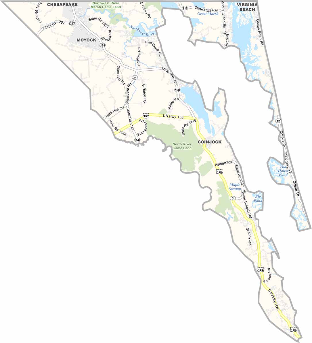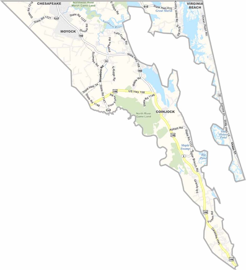
Currituck County Map, North Carolina

Currituck County, North Carolina

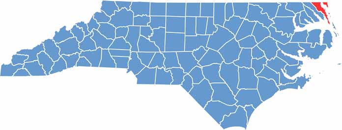
Currituck County stretches along the northeastern coast of North Carolina, bordering Virginia. It is a place of contrasts, and the mainland is all farmland and small towns.

Corolla is home to wild horses and is a big draw for tourists. Currituck is the county seat, though it has never been officially incorporated. Hunting and fishing have long been popular here.

The Outer Banks is a paradise for beach lovers. The Currituck Beach Lighthouse still stands tall, guiding ships along the coast. The area is quieter in the off-season, which is when you really get a feel for local life.

CategoryDetails
County NameCurrituck County
County SeatCurrituck
EtymologyNamed after an Indian word for wild geese, also pronounced “Coratank”
Cities, Towns, and CommunitiesCurrituck, Barco, Moyock, Knotts Island
Interstates and HighwaysU.S. Highway 158, U.S. Highway 168
FIPS Code37-053
Total Area (Land and Water)545 square miles (1,411 km²)
Adjacent Counties (and Direction)City of Chesapeake, Virginia (North), City of Virginia Beach, Virginia (North), Dare County (South), Tyrrell County (Southwest), Camden County (Southwest)
Time ZoneEastern Time Zone (ET)
StateNorth Carolina
Coordinates36.3663° N, 76.0043° W
Major LandmarksCorolla Beach, Currituck Lighthouse, Historic Corolla Village
PopulationApproximately 32,000
Scroll to Top