
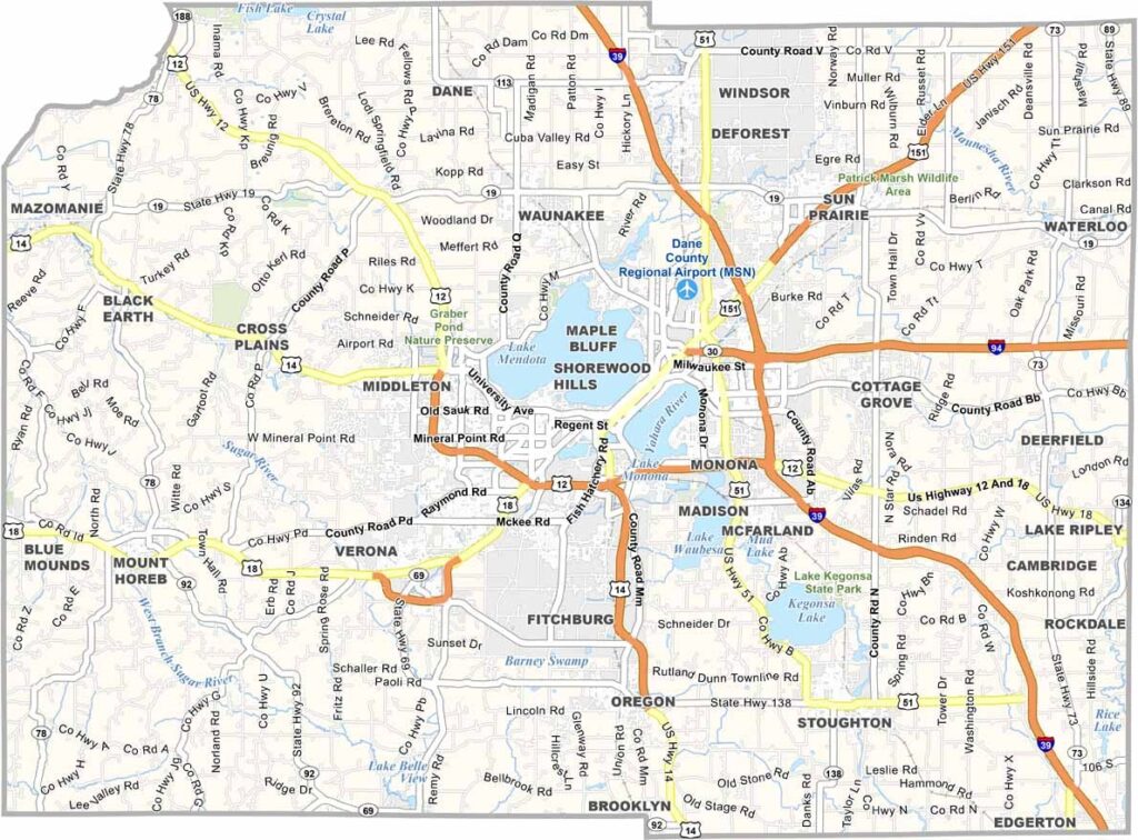
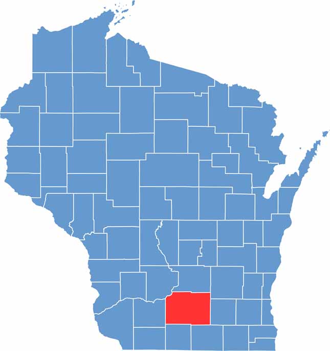
Dane County is located in the heart of southern Wisconsin. It is home to Madison, the state capital, where the UW-Madison campus sits along the shores of Lake Mendota. There’s always something happening, but the county offers much more than city life.
You’ll find farmland alongside growing tech startups, creating an interesting blend of urban and rural communities. Outdoor recreation is also popular, with five lakes located in Madison alone. The Dane County Farmers’ Market is the largest producer-only farmers’ market in the United States.
Winters can be cold, but locals know how to enjoy the snow. Dane County is known for its bike-friendly roads, environmental initiatives, and vibrant food scene, with plenty of farm-to-table dining options. Overall, the county offers a strong mix of urban and rural areas.
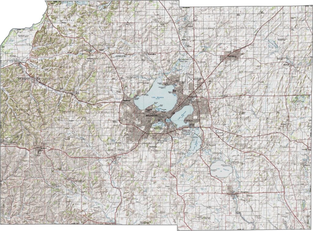
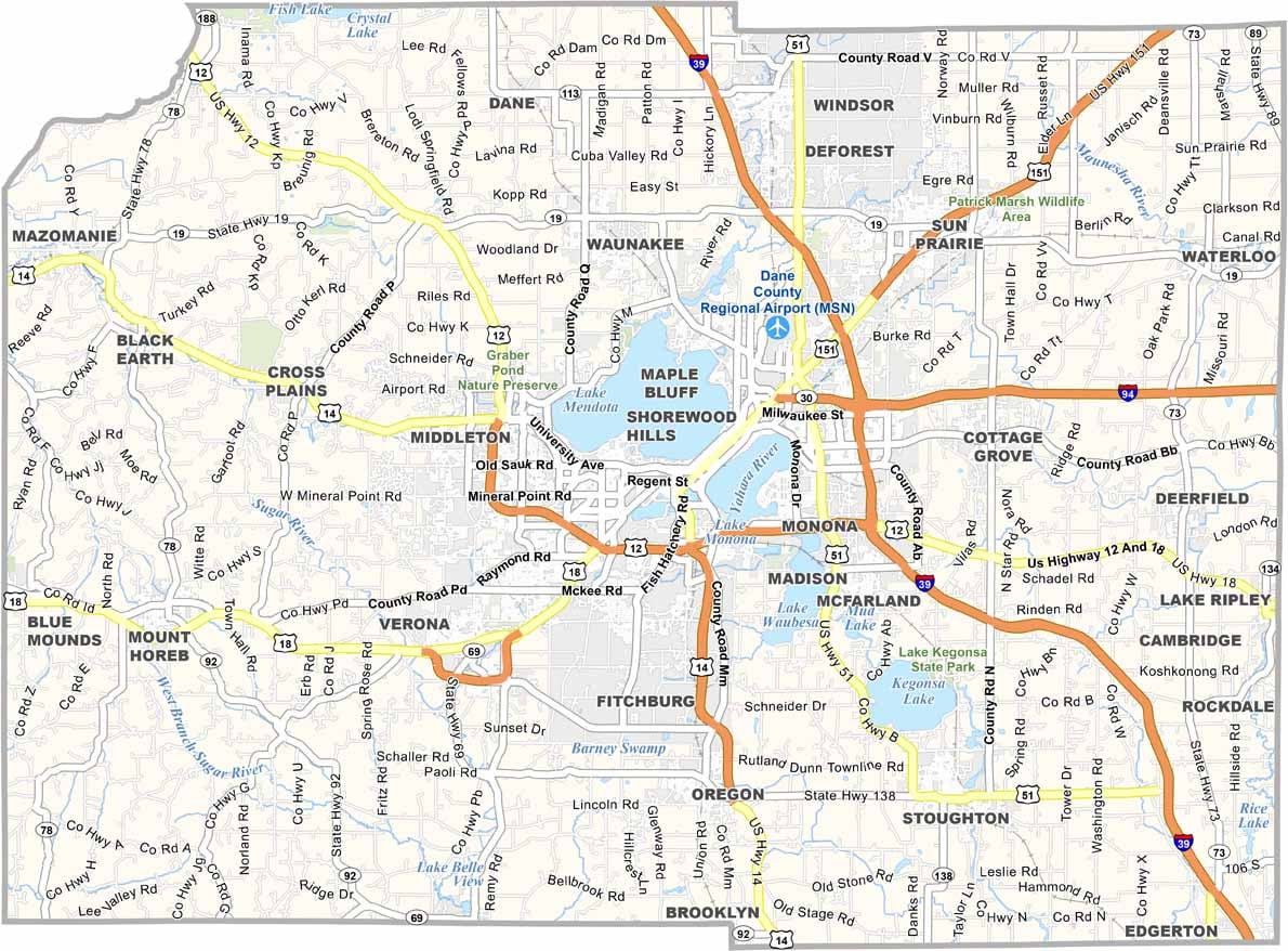
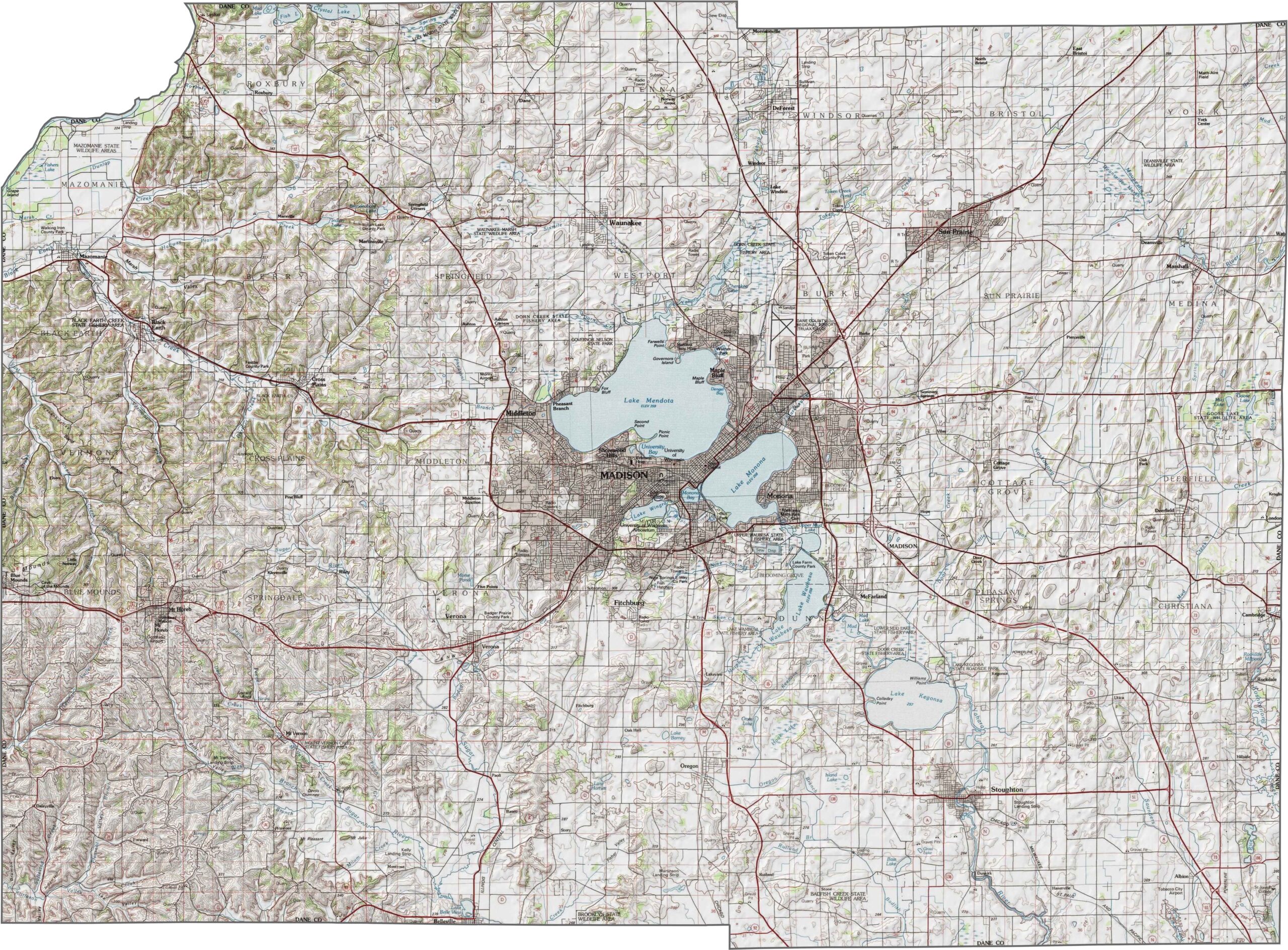
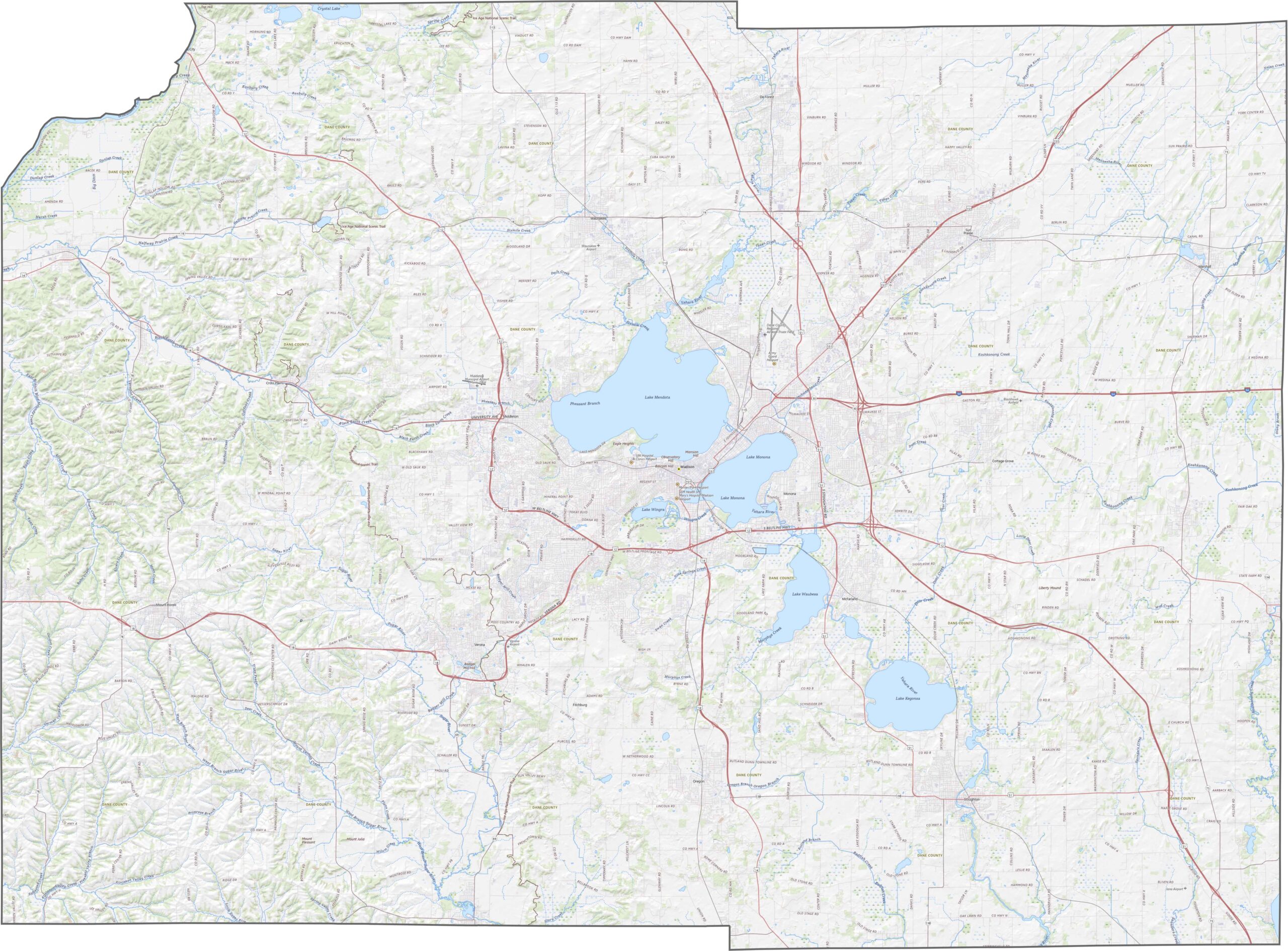
Dane County’s rolling terrain is shaped by glacial leftovers. The Yahara Lakes, including Lake Mendota, Lake Monona, Lake Waubesa, and Lake Kegonsa, give the region its scenic reputation. Hills surround the lakes, but most elevations remain modest.
Interstate 39/90 cuts through the southeastern part of Dane County. A network of highways fans out from Madison, serving the county’s growing population while remaining manageable. Our zoom tool can help you explore the road layout in more detail.
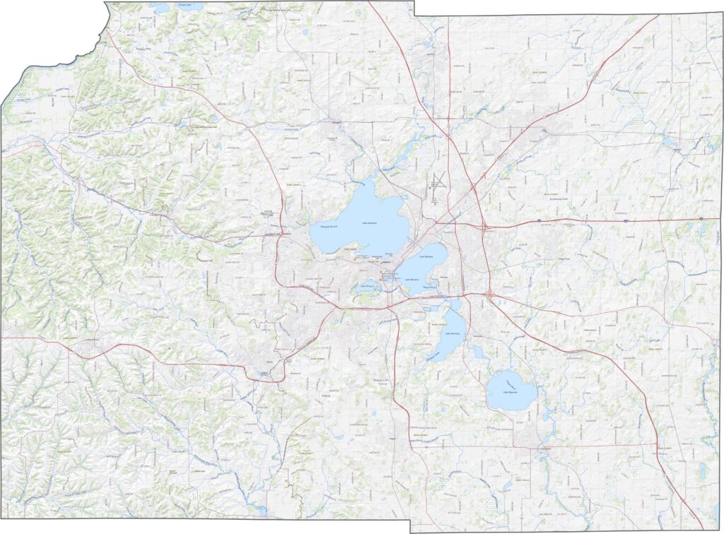
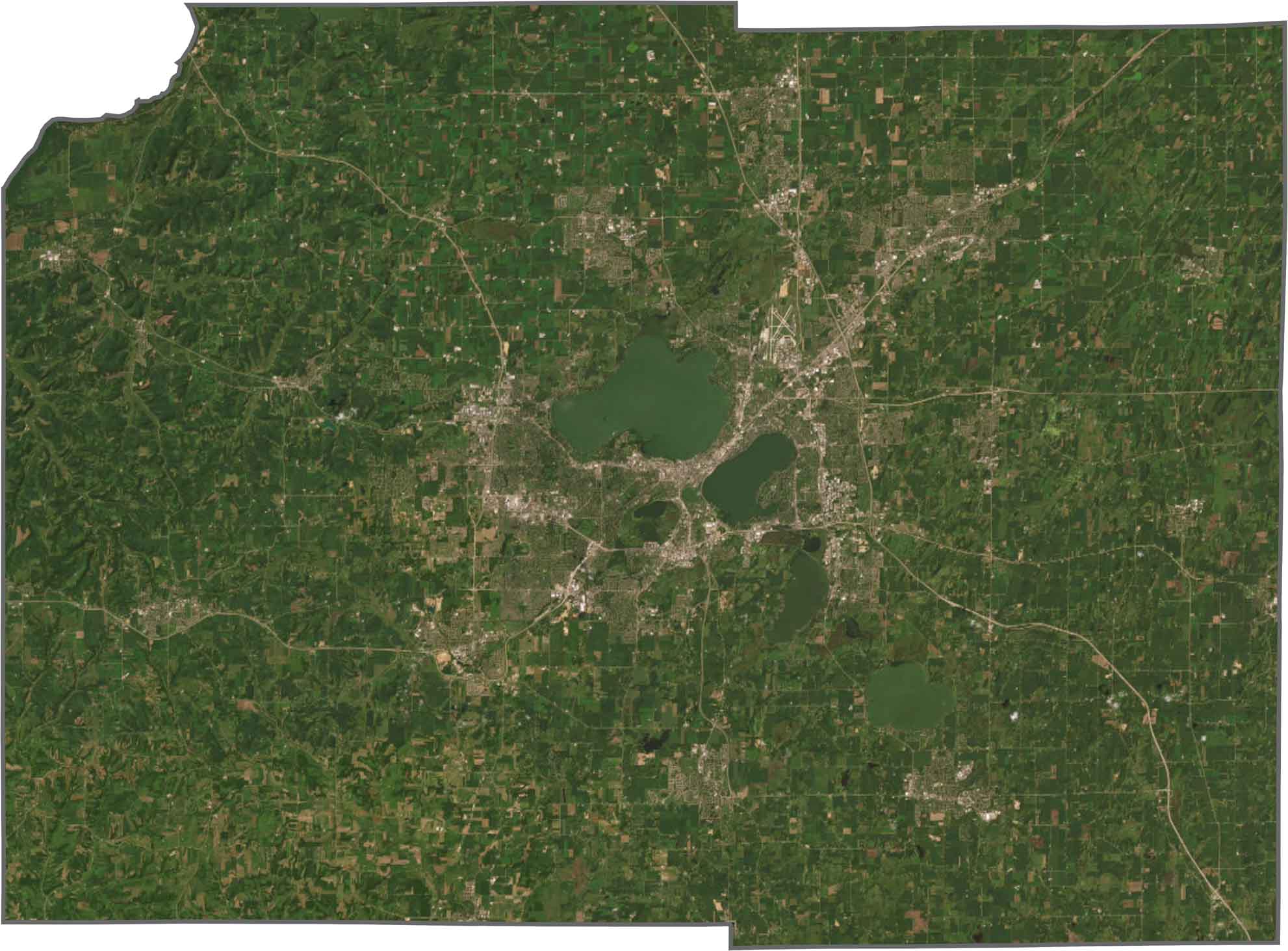
You’ll notice water first, especially near the center of the county. The four lakes in and around Madison stand out clearly in satellite imagery. Dense development is concentrated between the lakes, particularly near Lake Mendota. Beyond the city, farm fields cover much of the outer county.
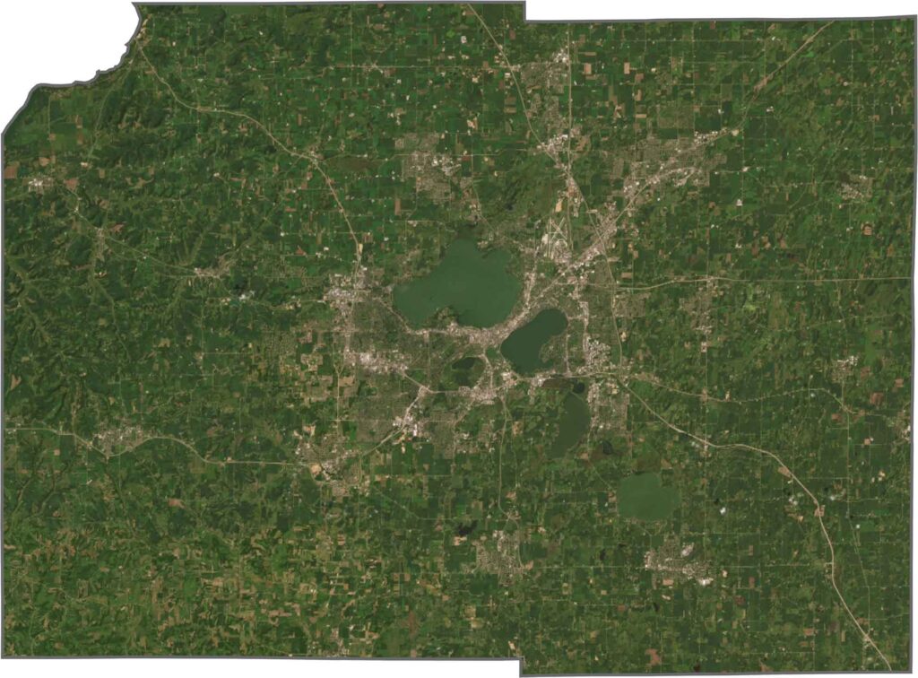
Dane County has an almost rectangular shape, although the top-left corner appears to have a small indentation. It does not follow a major river or border another state. The lakes are located within the county’s boundaries, while the exterior edges are mostly straight.






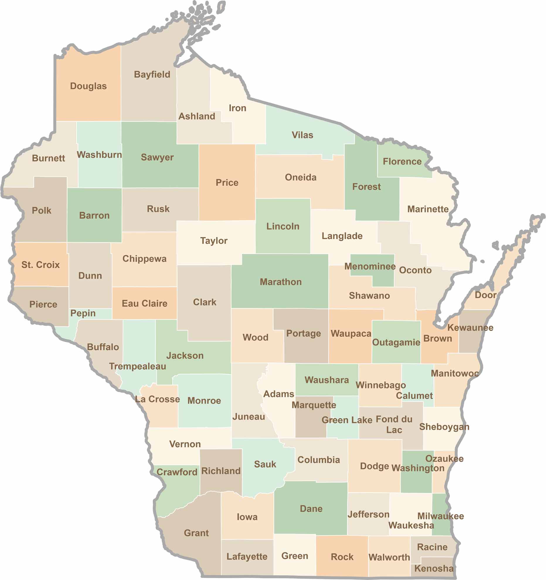
Wisconsin is known for its beer, cheese, and proud traditions, but the state’s 72 counties offer far more than familiar stereotypes. From the scenic shorelines of Lake Michigan and Lake Superior to sprawling dairy farms, dense forests, rolling bluffs, and picturesque river valleys, Wisconsin features an incredible variety of landscapes and communities.Each county has its own unique character, history, and attractions.