
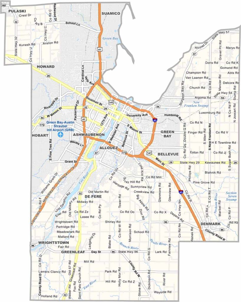
Brown County hugs the southern end of Green Bay, right where the Fox River empties into the bay. Green Bay is the largest city here, and the Green Bay Packers are a huge part of local culture, especially on game days.
The area also has a rich history tied to fur trading and paper mills. You can still see this heritage in the historic buildings throughout downtown. Nature lovers often visit the Bay Beach Wildlife Sanctuary, a popular destination for exploring local wildlife and natural habitats.
Just a few minutes outside the city, you’ll find farms and rural landscapes. Summers bring festivals and outdoor concerts, while winters can be cold but offer plenty of opportunities for locals to enjoy the season. Overall, Brown County blends sports, history, nature, and community into one lively Wisconsin destination.
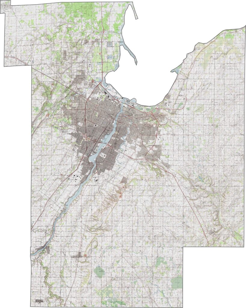
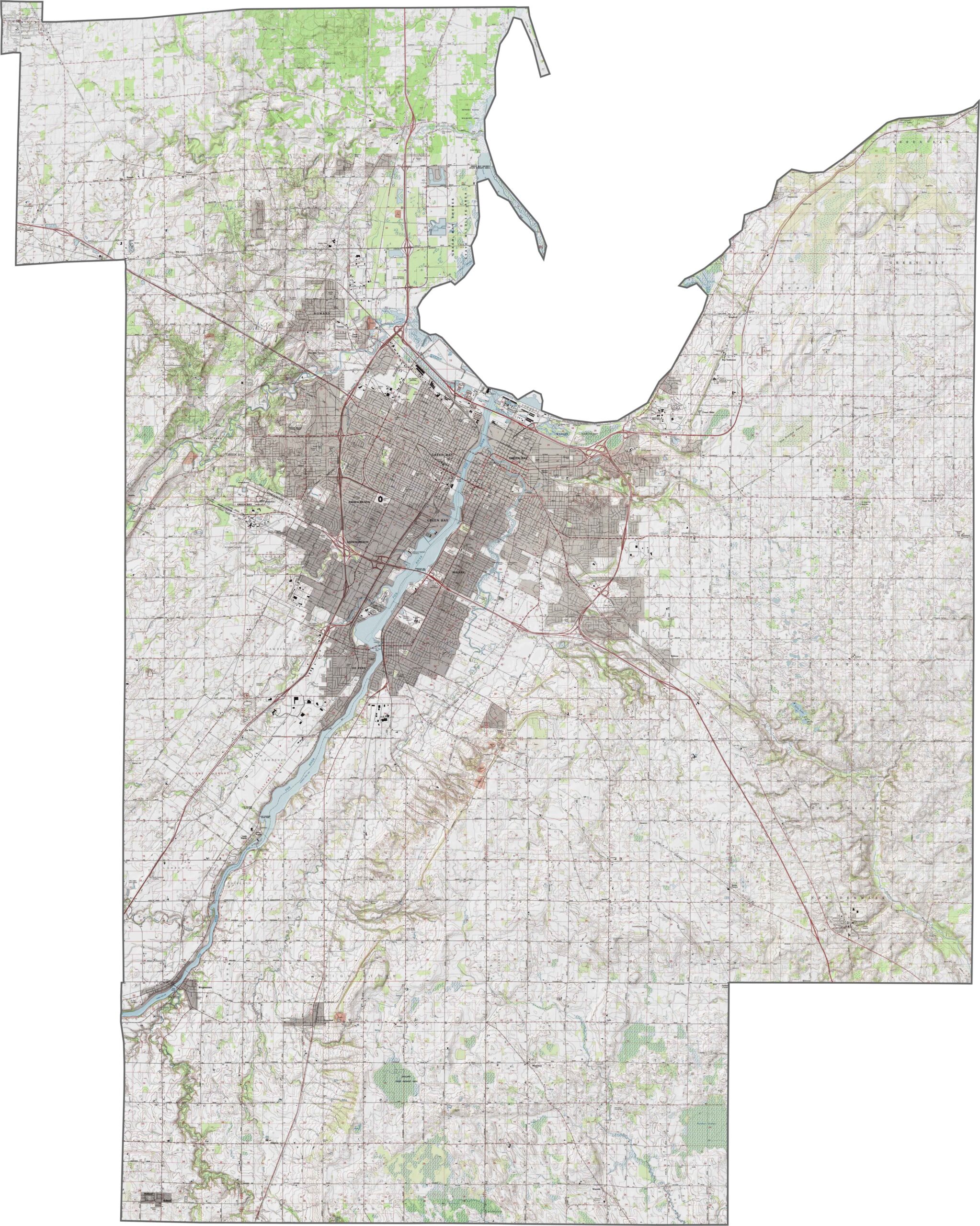
Brown County’s topography slopes gently toward the Bay of Green Bay. The Fox River cuts through the county and plays a central role in shaping its landscape. While elevations do not vary significantly, low ridges and shallow valleys help define the terrain west of the river.
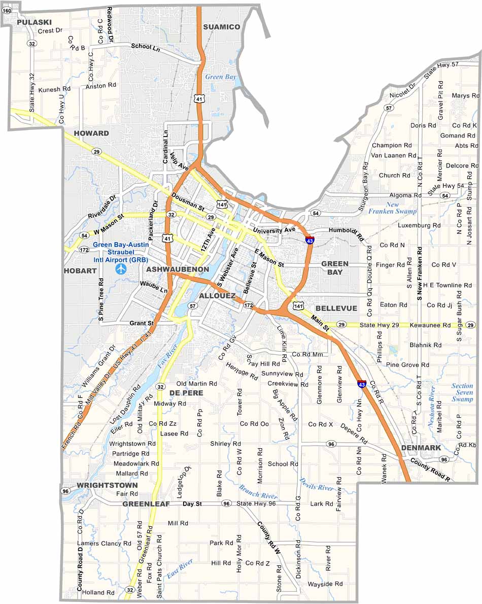
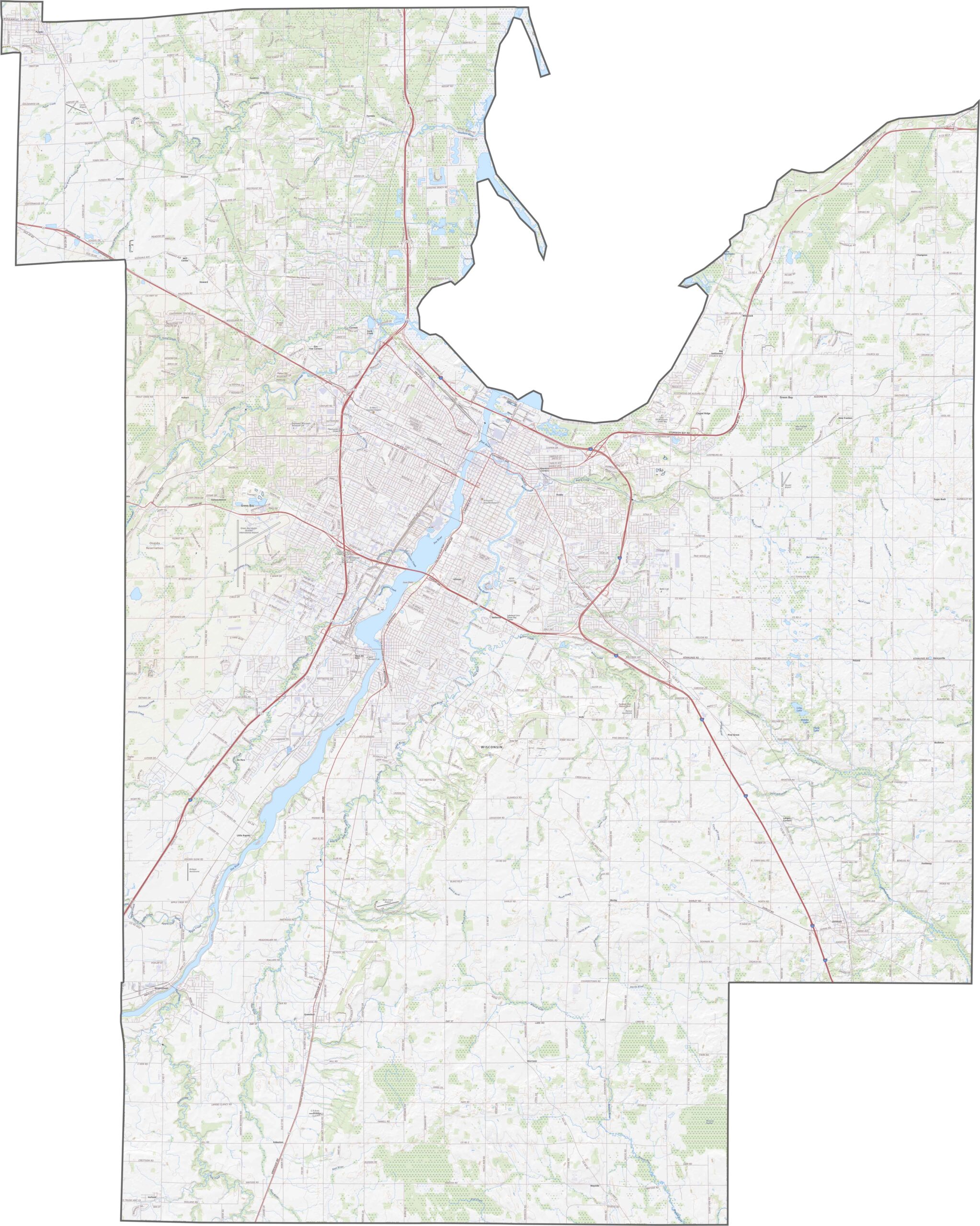
Plenty of roads in Brown County provide connections throughout the area. Interstate 43 runs through the eastern side, linking Green Bay with other regional hubs. Smaller highways crisscross the county, with some routes following the curve of the Fox River. Traffic generally flows smoothly compared with larger metropolitan areas.
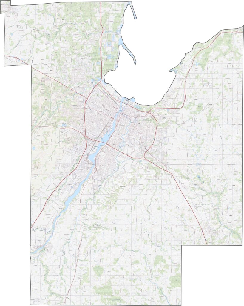
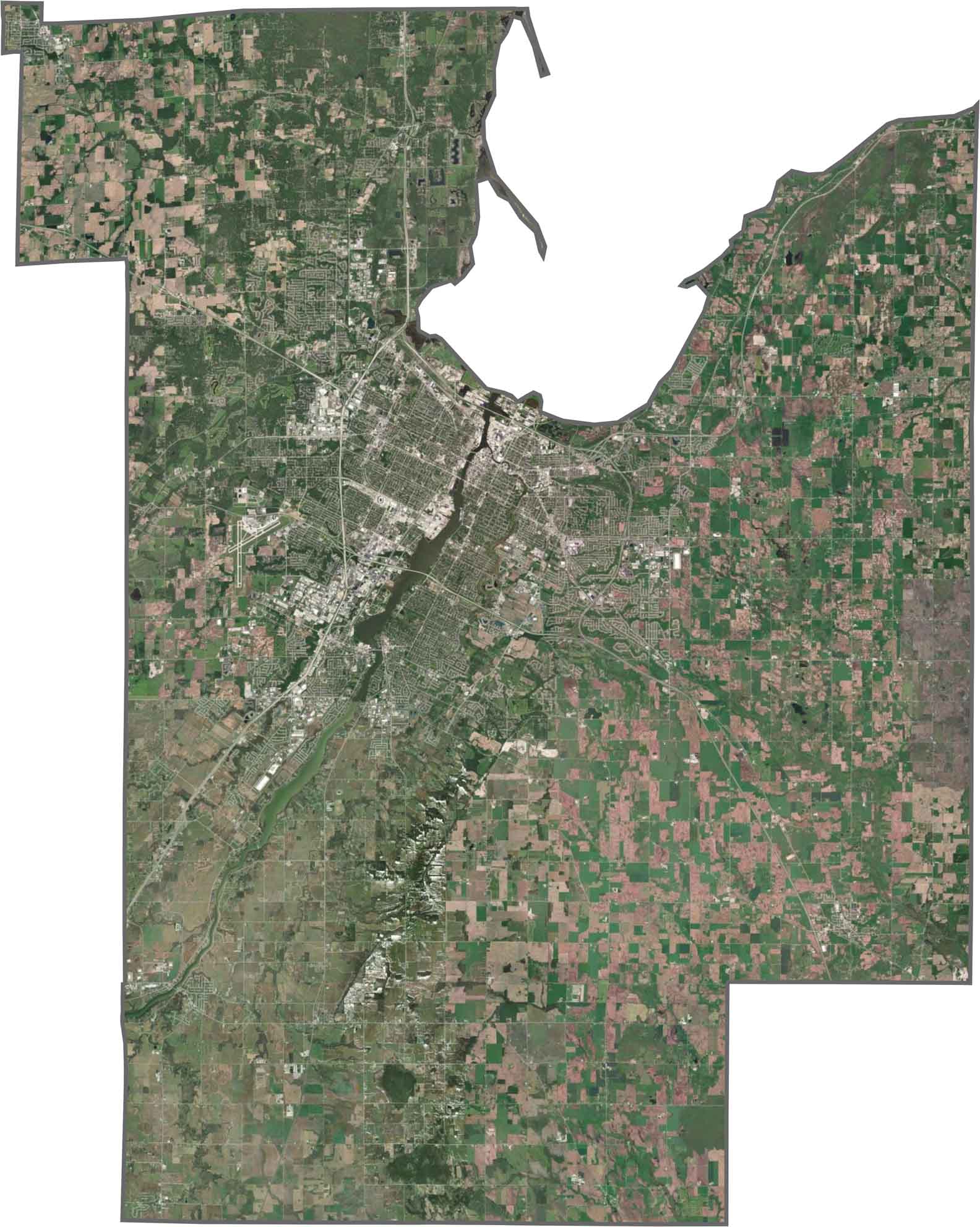
Green Bay dominates the upper edge of the satellite map, with industrial areas and neighborhoods concentrated near the shoreline. Forested patches appear west and south, while agricultural landscapes become more visible farther inland. The Fox River is the most prominent natural feature, winding northward toward the bay.
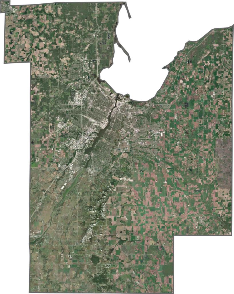
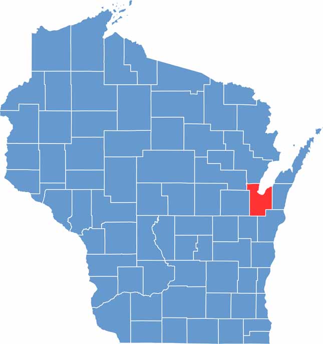
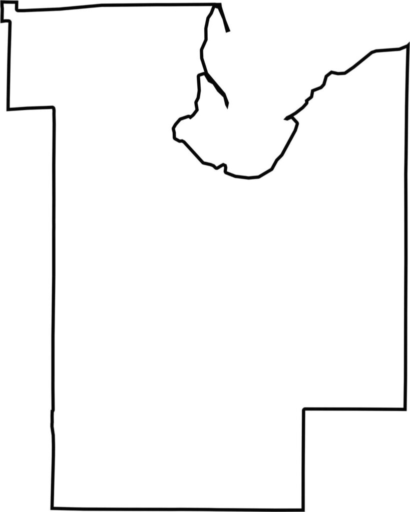
Brown County has a distinctive shape, remaining wider in the south and narrowing northward toward the Bay of Green Bay. Its northern boundary follows the water and curves along the bay. The county does not border another state and is located in eastern Wisconsin.





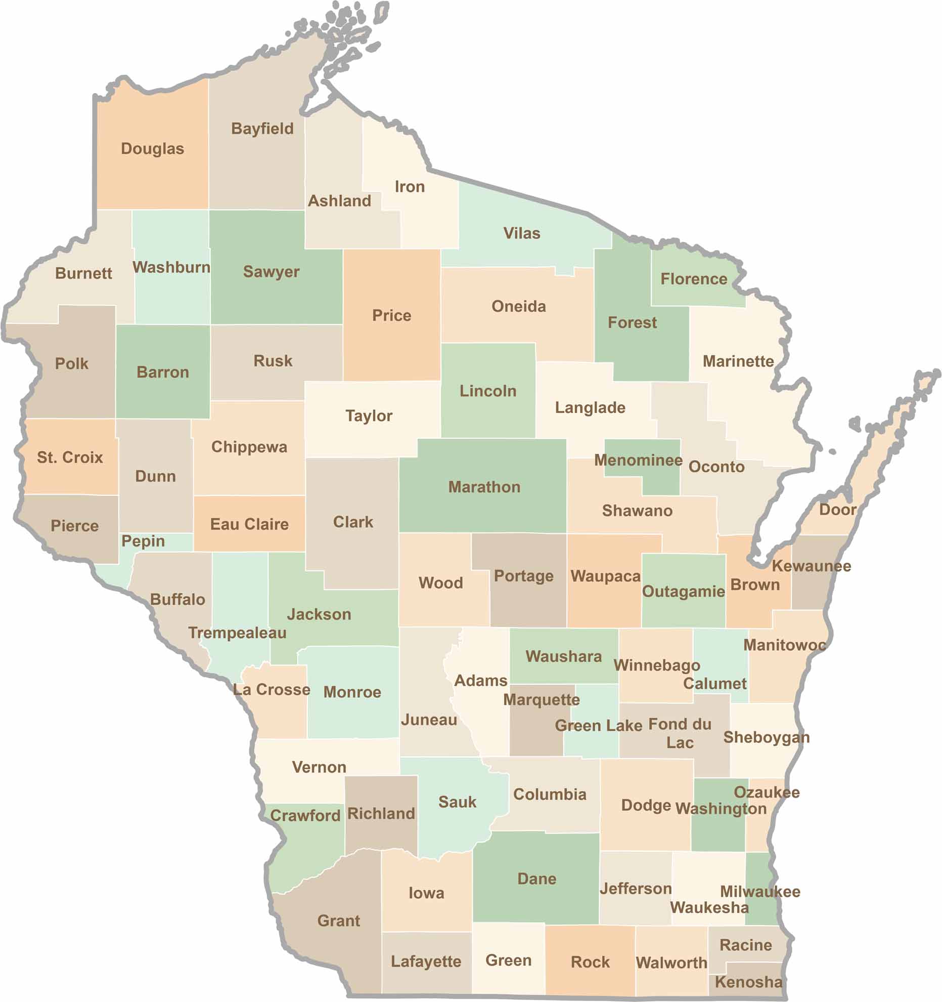
Wisconsin is known for its beer, cheese, and proud traditions, but the state’s 72 counties offer far more than familiar stereotypes. From the scenic shorelines of Lake Michigan and Lake Superior to sprawling dairy farms, dense forests, rolling bluffs, and picturesque river valleys, Wisconsin features an incredible variety of landscapes and communities.Each county has its own unique character, history, and attractions.