
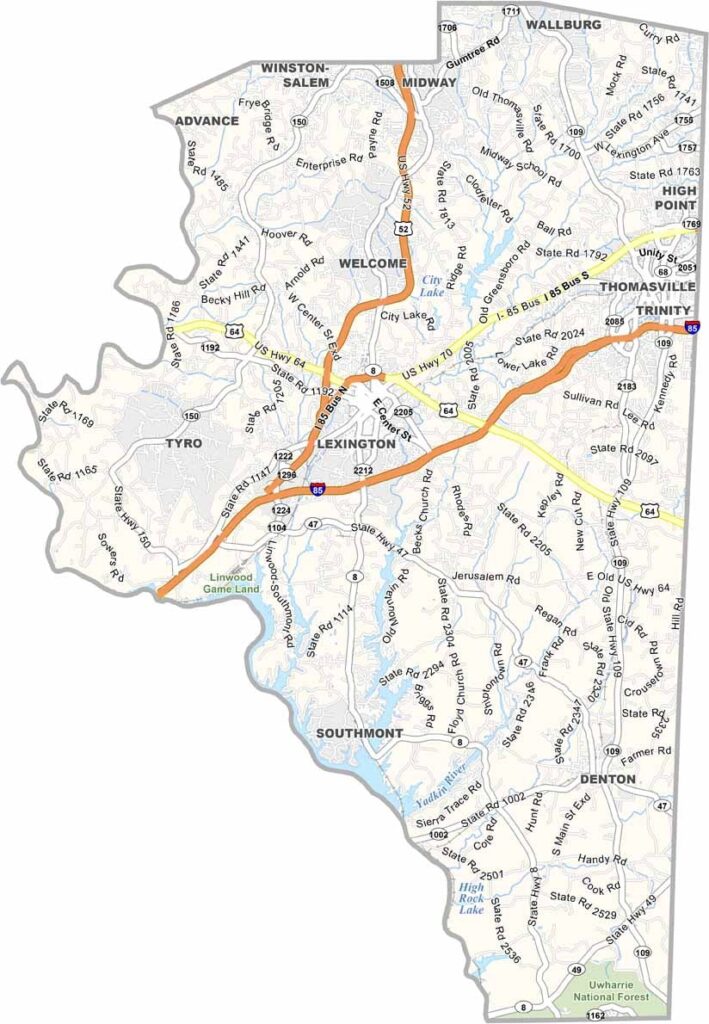
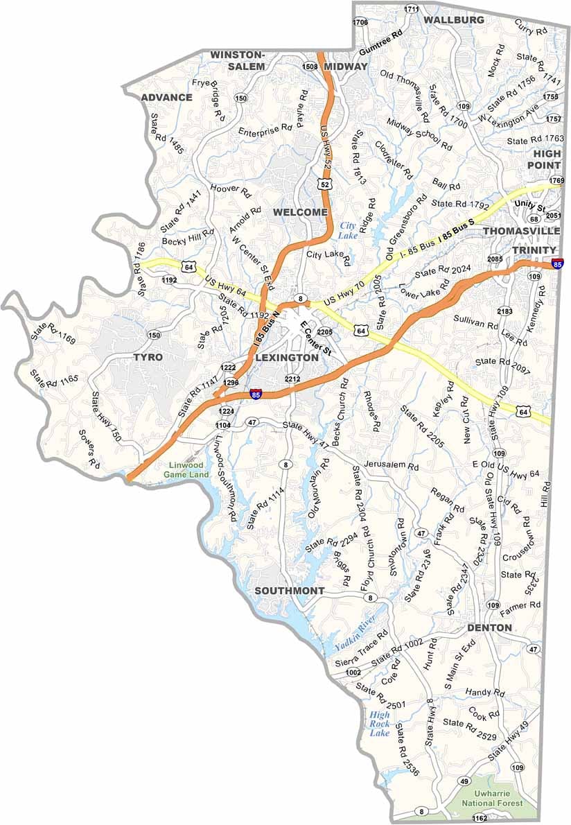
Central North Carolina is home to Davidson County, a place where barbecue is serious business. Lexington, the largest city here, is known as the “Barbecue Capital of the World.”
It sits in the Piedmont Triad region, close to major cities but with a character all its own. You’ll find a mix of small towns and rural areas.
The Yadkin River forms its western border, and High Rock Lake is a popular spot for boating. Manufacturing has long been important here, especially furniture. The county has a rich racing heritage too.
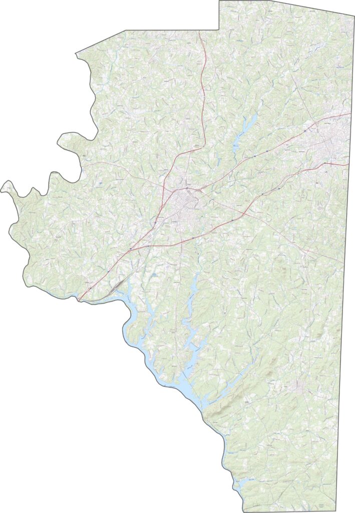
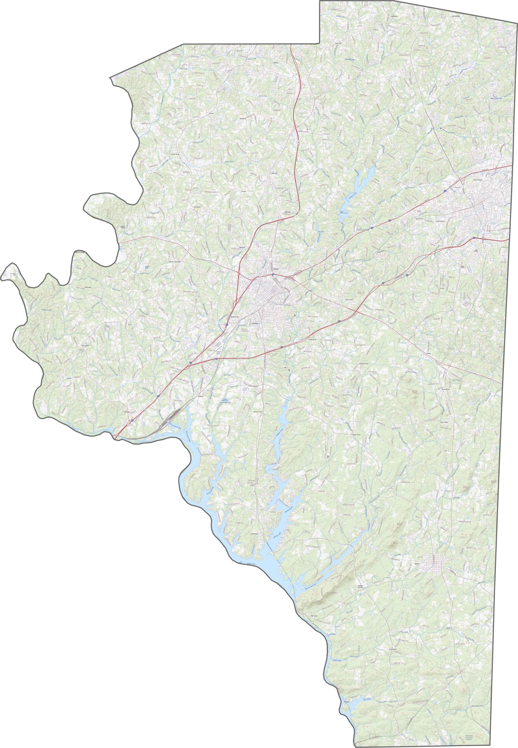
Davidson County is where major roads cross paths. Interstate 85 cuts diagonally through the southeast, while U.S. Route 64 crosses east to west and is key for small towns. Smaller roads fill the grid, especially near Thomasville. Our zoom tool helps you find each route in detail.
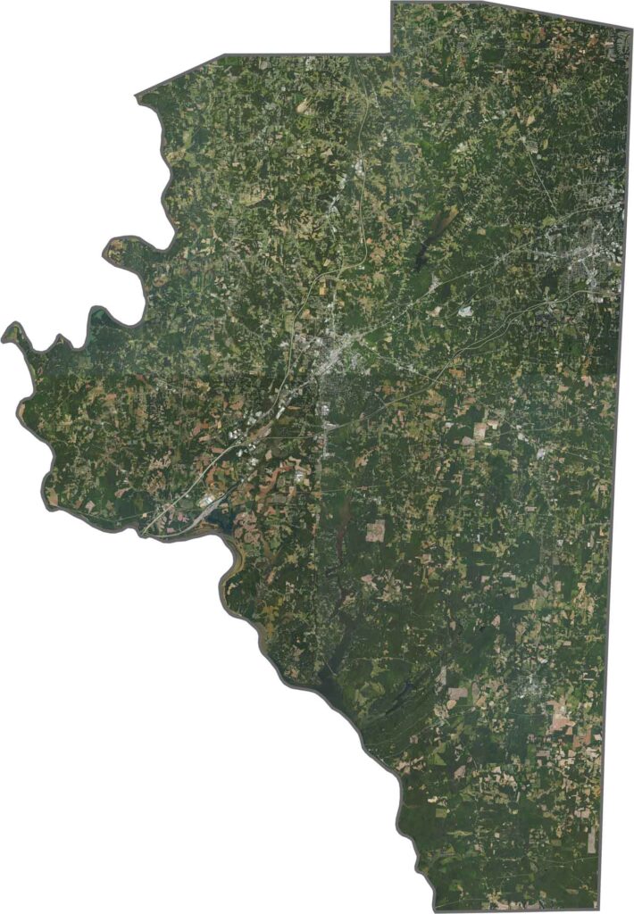
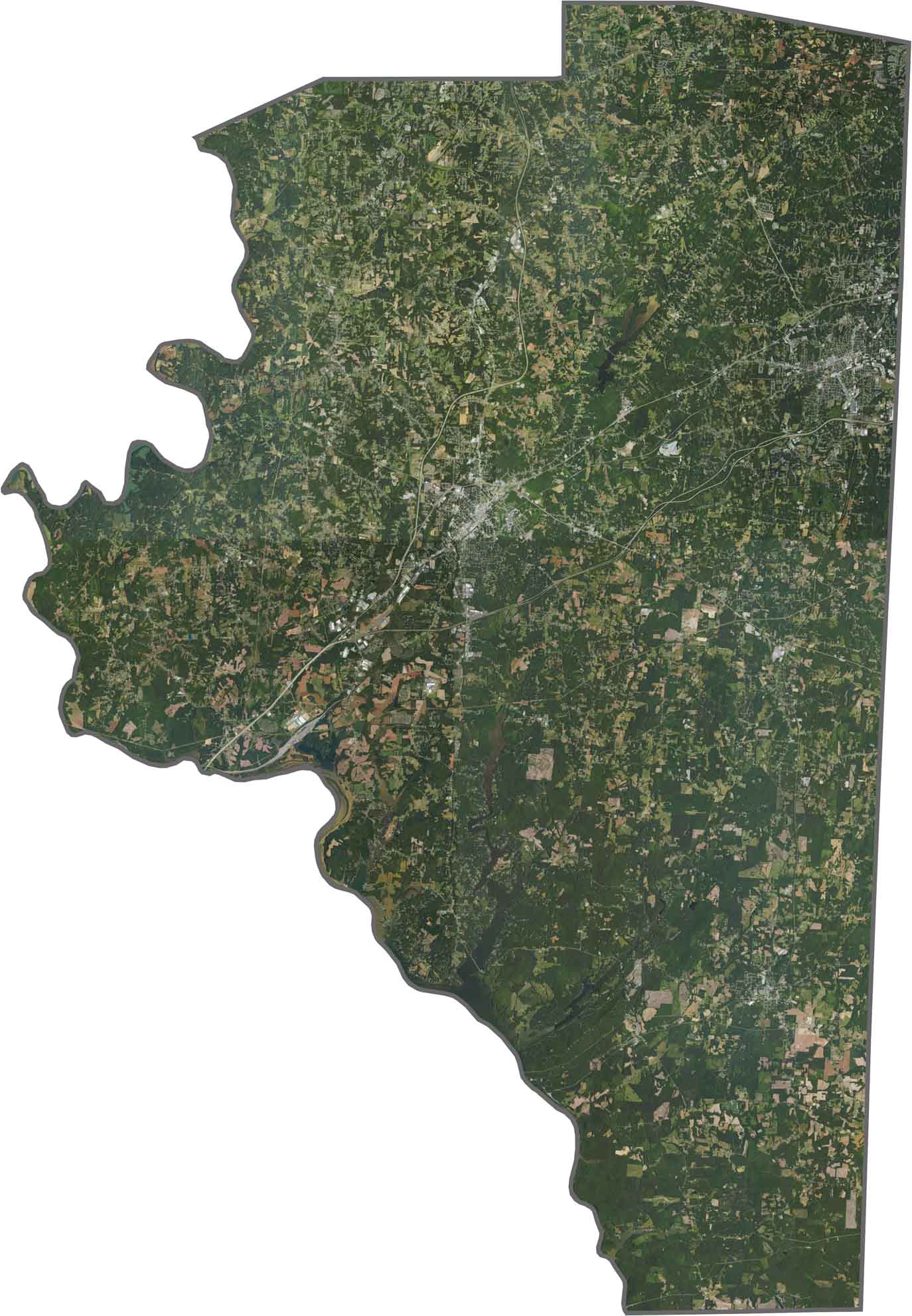
Lexington and Thomasville form two bright urban spots. But forests are still thick, especially to the west. The Yadkin River marks the edge and appears broad and winding. Though farmland shows up in patches, trees dominate the landscape.
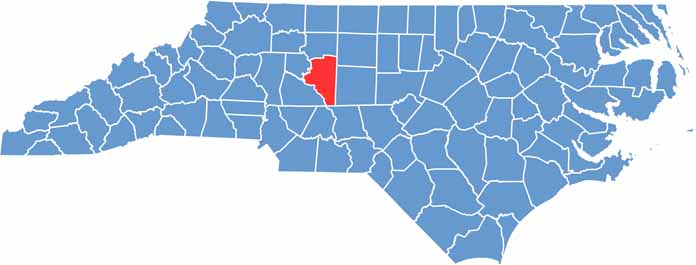
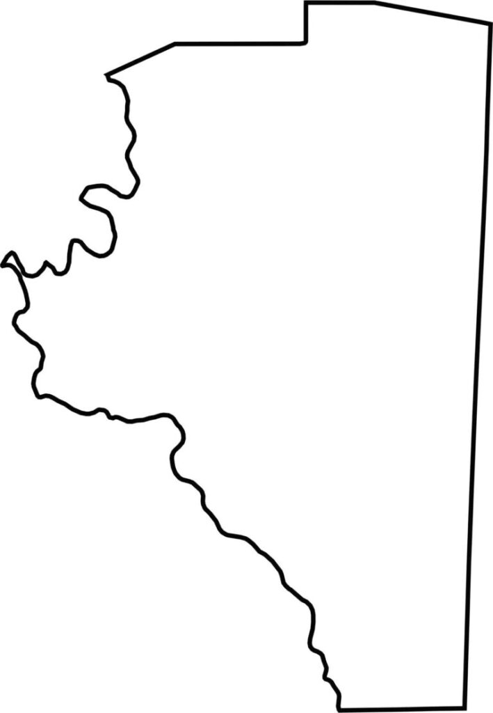
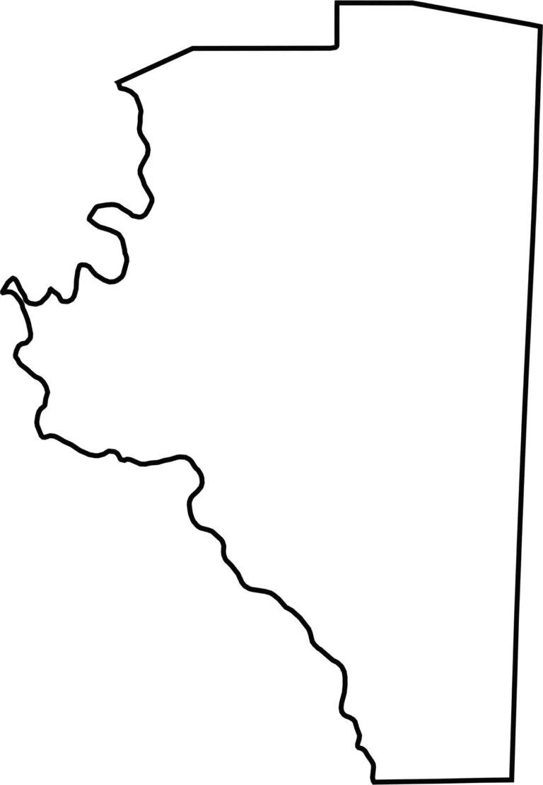
It’s a wide, tilted shape, almost like two triangles stuck together. The western edge follows the Yadkin River, creating a natural border. Though Davidson County sits far from any state line, it touches seven other counties. The river bend gives the county its distinct outline.







North Carolina’s 100 counties each have their own personality. Some embrace beach life, while others are known for barbecue or bluegrass. Sometimes, you’ll find all three in one place. Across the state, there are waterfalls, farmland, and NASCAR.