
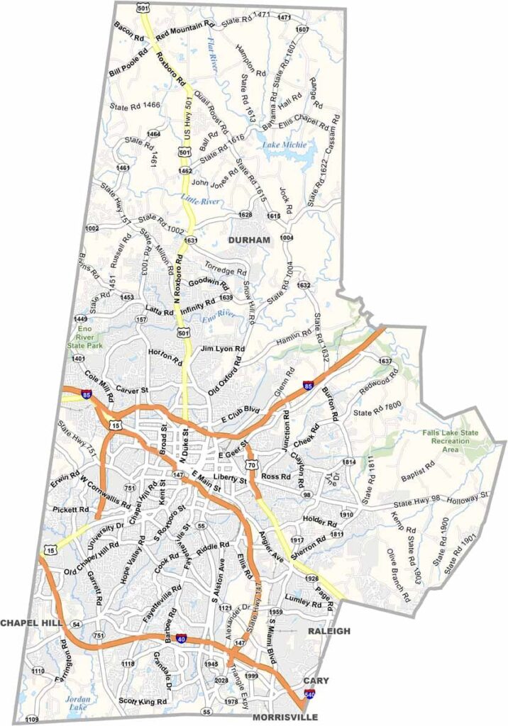
The heart of the Research Triangle beats in Durham County. Home to Duke University, this place has brains and soul. Downtown Durham buzzes with energy.
It’s where tobacco built an empire, and now startups and biotech firms fuel the economy. But old tobacco warehouses have found new life as hip restaurants and art spaces. The Durham Bulls still play ball, just like in the movies.
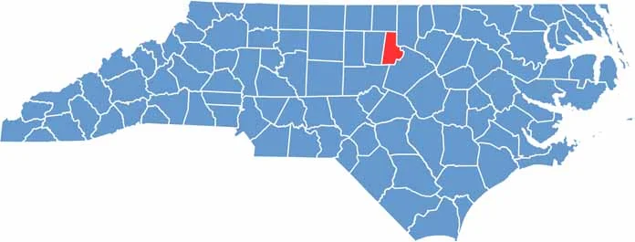
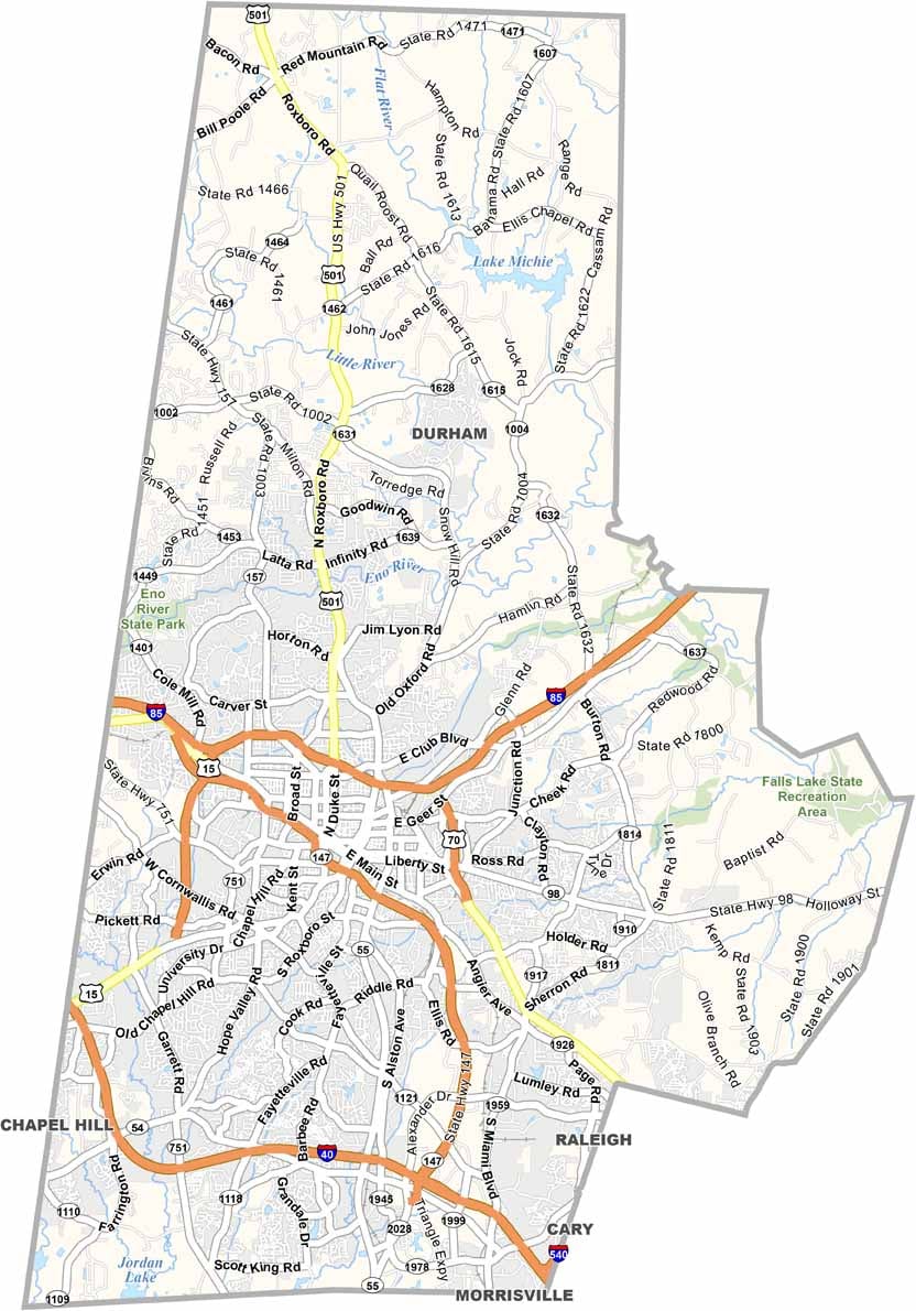
You’ll find the county in the north-central part of North Carolina, rubbing shoulders with Wake County and Orange County. History runs deep here, and civil rights leaders made their stand here.
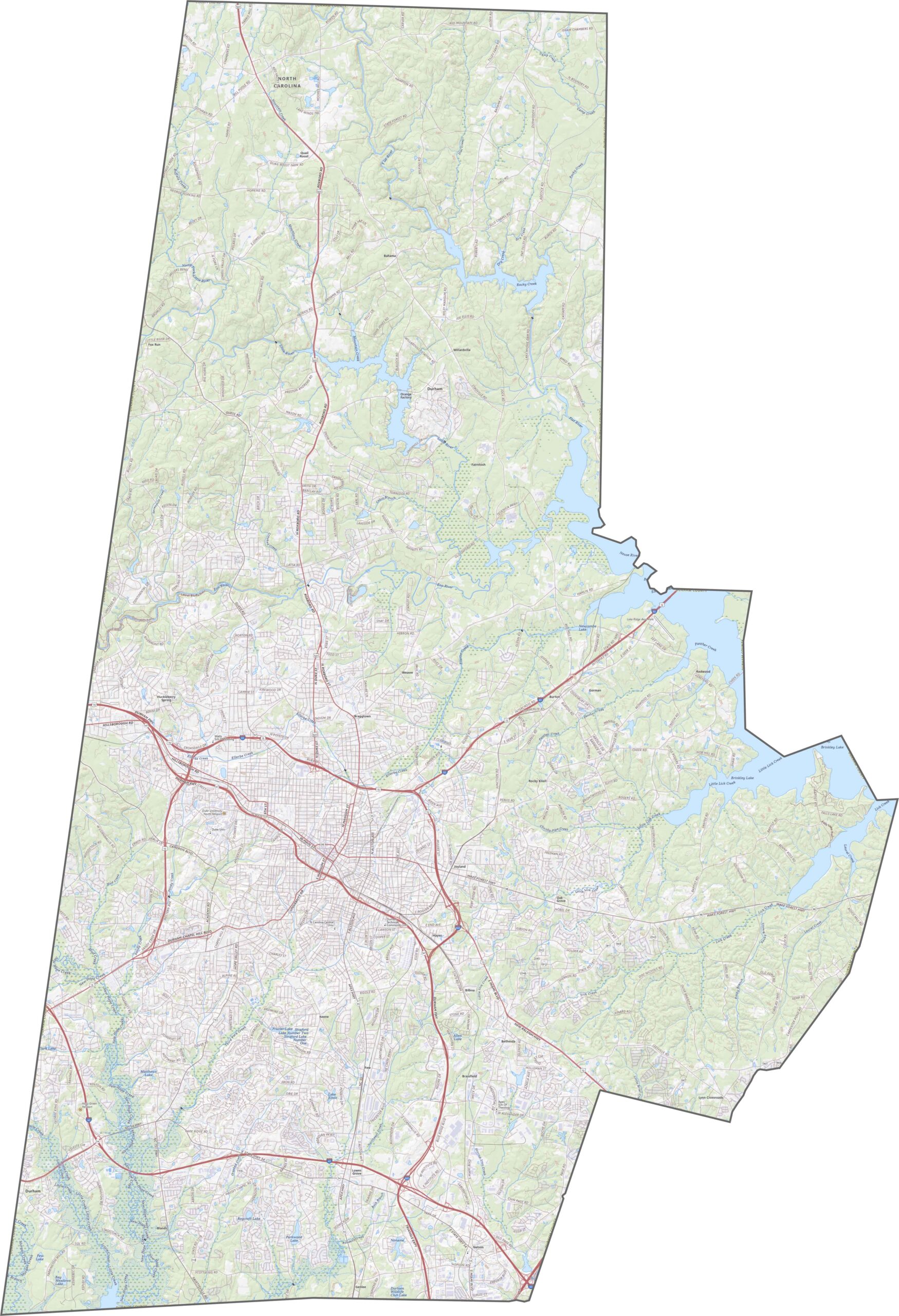
Despite its size, Durham County is highway-rich. Interstate 85 crosses from east to west across the top, whereas Interstate 40 cuts across the southern edge, just below the city. For a closer look at all its highways, use our map’s zoom tool.
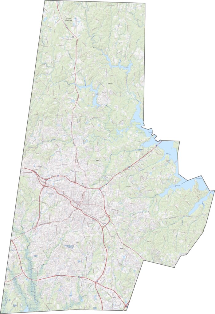
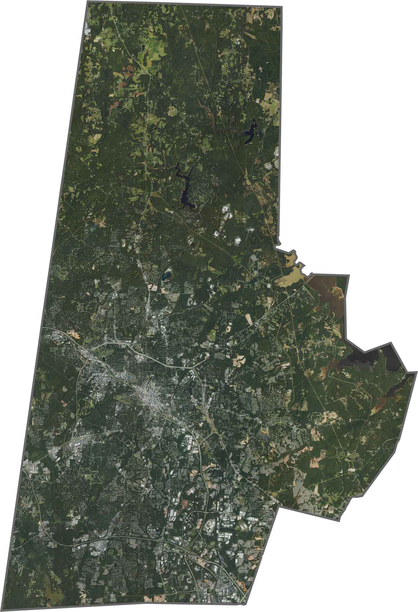
The city takes up the middle. It’s dense, sprawling, and gray, yet green dominates the edges. Forests and small lakes cluster in the north and west. Though it’s urban at heart, Durham still hides plenty of trees from above.
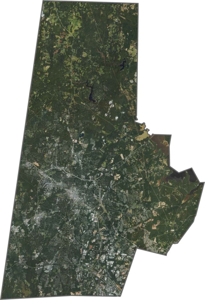
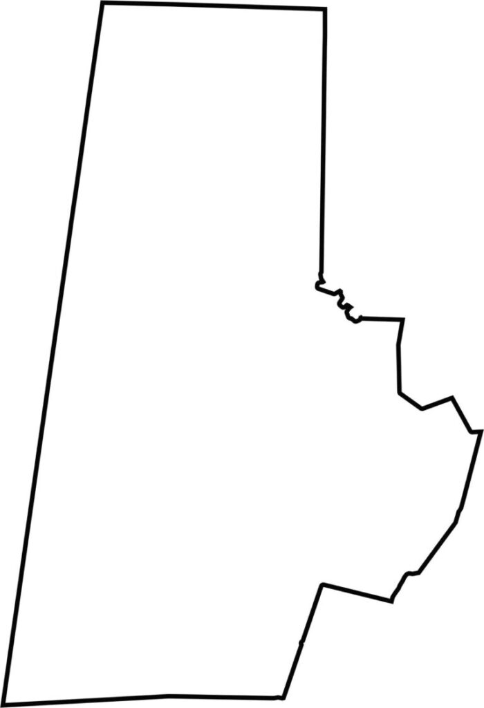
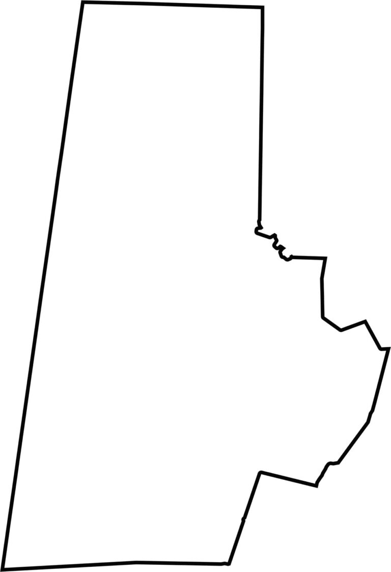
Durham County is compact and squared off, more or less. It doesn’t touch another state, and it borders only five counties. The shape is simple, almost boxy.







North Carolina’s 100 counties each have their own personality. Some embrace beach life, while others are known for barbecue or bluegrass. Sometimes, you’ll find all three in one place. Across the state, there are waterfalls, farmland, and NASCAR.