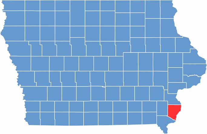
Des Moines County, Iowa

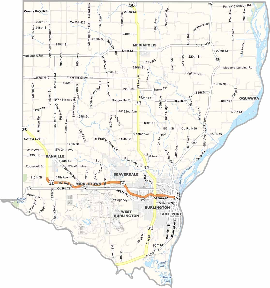
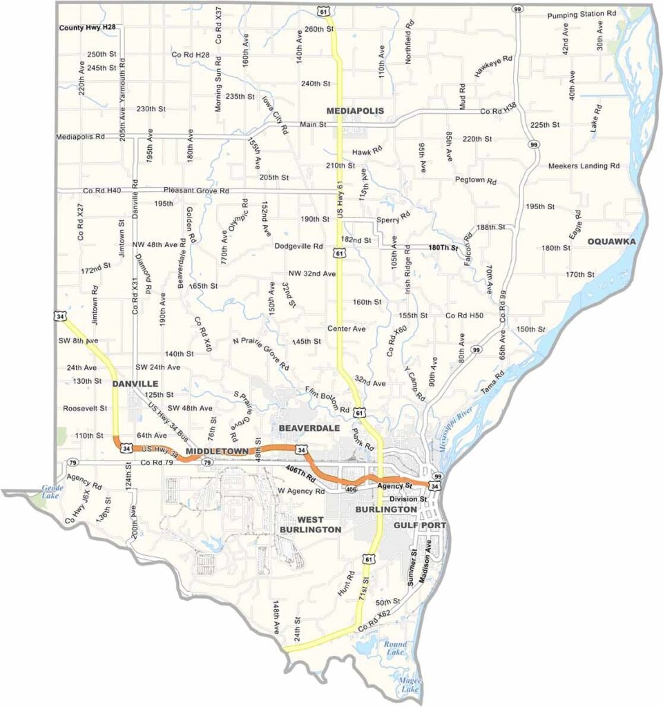
Des Moines County is located in southeastern Iowa and takes its name from the Des Moines River, even though the river itself no longer flows through the county.

Burlington, the county seat, is a historic river town situated along the western bank of the Mississippi River. The city also holds an important place in Iowa history, having once served as the first capital of Iowa Territory.

One of Burlington’s most distinctive attractions is Snake Alley, famously known as the “Crookedest Street in the World,” winding up a steep hillside. Nearby, Starr’s Cave Nature Center features hiking trails, limestone bluffs, and scenic Flint Creek landscapes, offering opportunities for outdoor recreation.

CategoryDetails
County NameDes Moines County
County SeatBurlington
EtymologyNamed after the Des Moines River, which runs through the county
Cities, Towns, and CommunitiesBurlington, West Burlington, Danville, Mediapolis, Houghton, New London, Sperry
Interstates and HighwaysU.S. Highway 34, U.S. Highway 61, Iowa Highway 61
FIPS Code19-057
Total Area (Land and Water)423 square miles (land: 413 sq mi, water: 10 sq mi)
Adjacent Counties (and Direction)Louisa County (North), Hancock County, Illinois (Southeast), Henderson County, Illinois (East), Lee County (South), Henry County (West)
Time ZoneCentral Time Zone (CST)
StateIowa
Coordinates40.81°N, 91.11°W
Major LandmarksSnake Alley, Burlington’s Historic District, Great River Bridge, Dankwardt Park
Population40,000
Scroll to Top