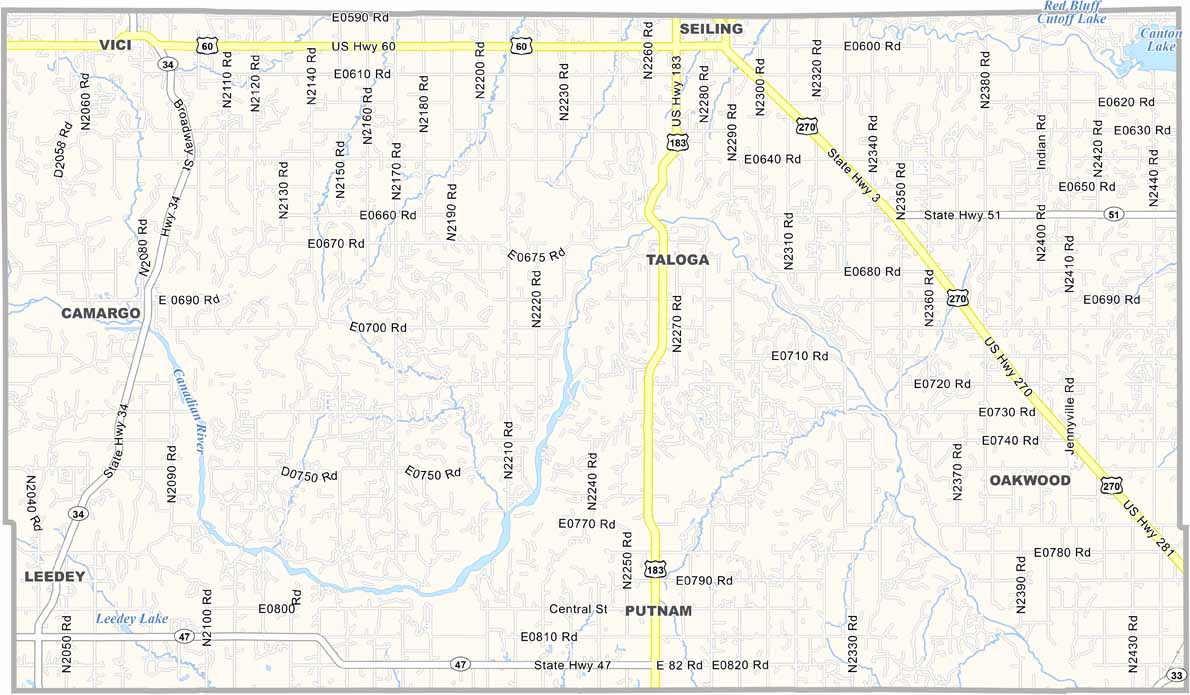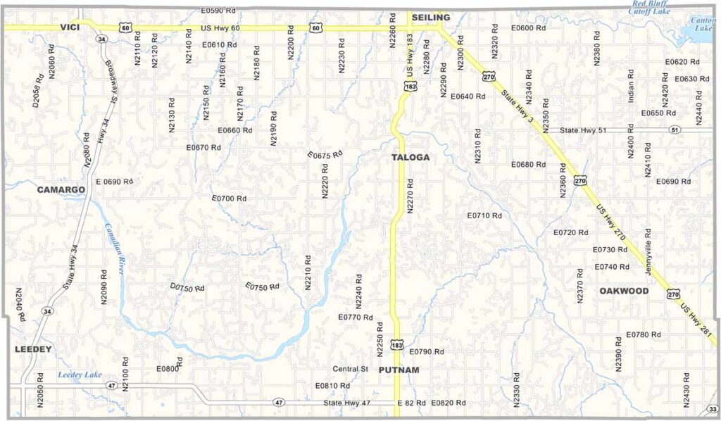
Dewey County Map, Oklahoma

Dewey County, Oklahoma

Dewey County is located in western Oklahoma. The landscape is mostly prairie, with gently rolling hills and wide-open spaces. Cattle ranching has long been an important part of life here.

The county was named after Admiral George Dewey, a hero of the Spanish-American War. Taloga serves as the county seat. It’s small but full of character, with views that stretch for miles.

Dewey County has faced its share of difficult times, from the Dust Bowl to oil busts. Still, the people are resilient and stick together. The sunsets are breathtaking, and the clear night skies make the stars feel almost close enough to touch.
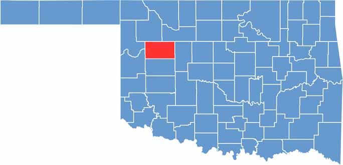

Location map of Dewey County, Oklahoma
CategoryDetails
County NameDewey County
County SeatTaloga
EtymologyNamed after Admiral George Dewey, a hero of the Spanish-American War
Cities, Towns, and CommunitiesSeiling, Taloga, Vici, Leedey, Camargo
Interstates and HighwaysU.S. Highway 60, U.S. Highway 270, State Highway 3, State Highway 34
FIPS Code40-043
Total Area (Land and Water)1,009 square miles (999 sq mi land, 10 sq mi water)
Adjacent Counties (and Direction)Woodward County (North), Major County (North), Blaine County (East), Custer County (South), Roger Mills County (Southwest), Ellis County (Northwest)
Time ZoneCentral Time Zone (CST)
StateOklahoma
Coordinates36°01’N, 99°06’W
Major LandmarksTaloga Historic District, Seiling Municipal Lake, Rader Park
PopulationApproximately 4,800
Scroll to Top