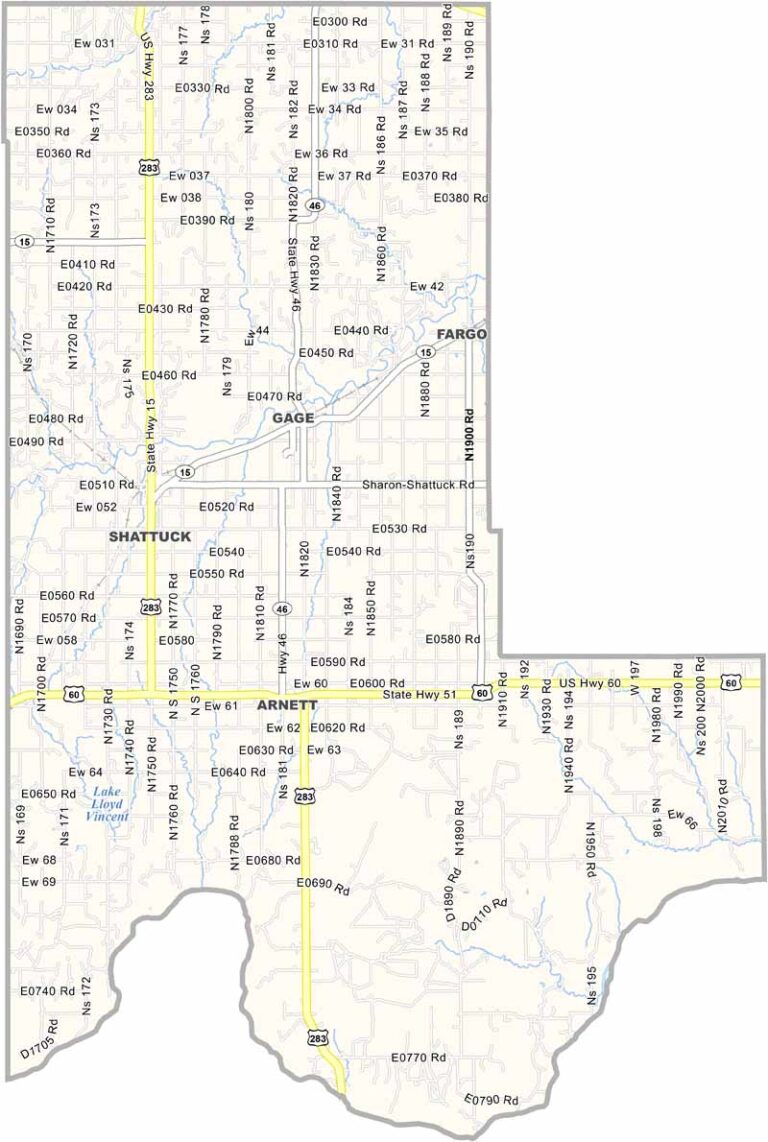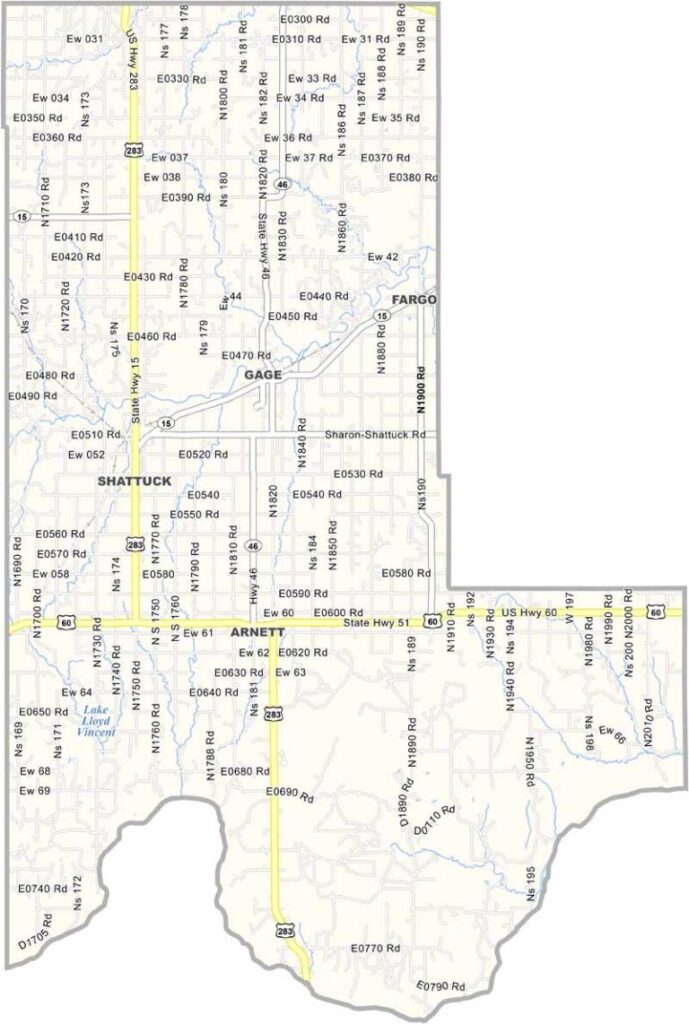
Ellis County Map, Oklahoma

Ellis County, Oklahoma

Ellis County sits in the northwest corner of Oklahoma along the Texas border. Wide-open spaces define the area, making it classic cattle country. The land is rugged and has a beauty all its own.

Arnett serves as the county seat. Folks here work hard and play hard, welcoming strangers while staying fiercely loyal to their community. The county has a rich history dating back to the Land Run of 1893.

Winters can be harsh, while summers are scorching. The people here are tough and have weathered droughts, tornadoes, and economic ups and downs. Ellis County isn’t flashy, but it feels like the real Oklahoma.
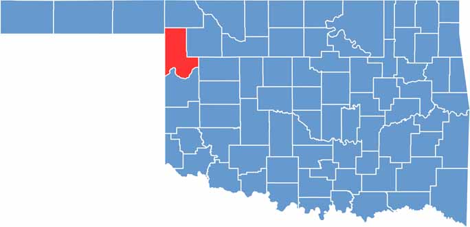

Location map of Ellis County, Oklahoma
CategoryDetails
County NameEllis County
County SeatArnett
EtymologyNamed after Albert H. Ellis, vice president of the Oklahoma Constitutional Convention
Cities, Towns, and CommunitiesArnett, Shattuck, Gage, Fargo, Higgins
Interstates and HighwaysU.S. Highway 60, U.S. Highway 283, State Highway 15, State Highway 46
FIPS Code40-045
Total Area (Land and Water)1,232 square miles (1,225 sq mi land, 7 sq mi water)
Adjacent Counties (and Direction)Harper County (North), Woodward County (East), Dewey County (Southeast), Roger Mills County (South), Hemphill County, Texas (Southwest), Lipscomb County, Texas (West), Beaver County (Northwest)
Time ZoneCentral Time Zone (CST)
StateOklahoma
Coordinates36°23’N, 99°47’W
Major LandmarksShattuck Windmill Museum, Ellis County Historical Museum, Fort Supply Lake
PopulationApproximately 4,000
Scroll to Top