
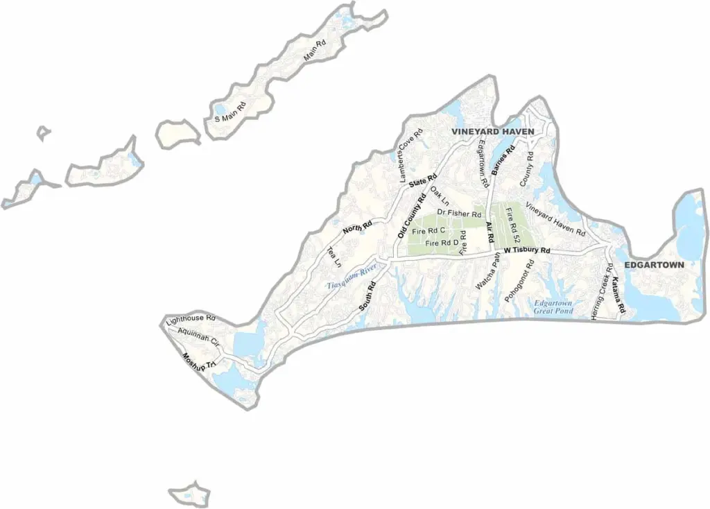
Dukes County sits off the southern coast of Massachusetts as a collection of islands. Martha’s Vineyard is the main attraction, and the island has long been a popular summer escape for the rich and famous.
But there’s more to Dukes County than celebrity sightings. Pristine beaches stretch along the coastline, while fishing villages dot the islands. Their weathered shingle buildings reflect generations of local history.
The Aquinnah Cliffs are a must-see natural attraction. Bike paths cross the islands, offering a great way to explore the area. Dukes County isn’t only a tourist destination, though. Year-round residents take great pride in their communities.
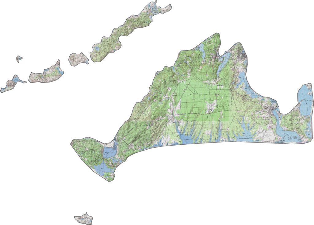
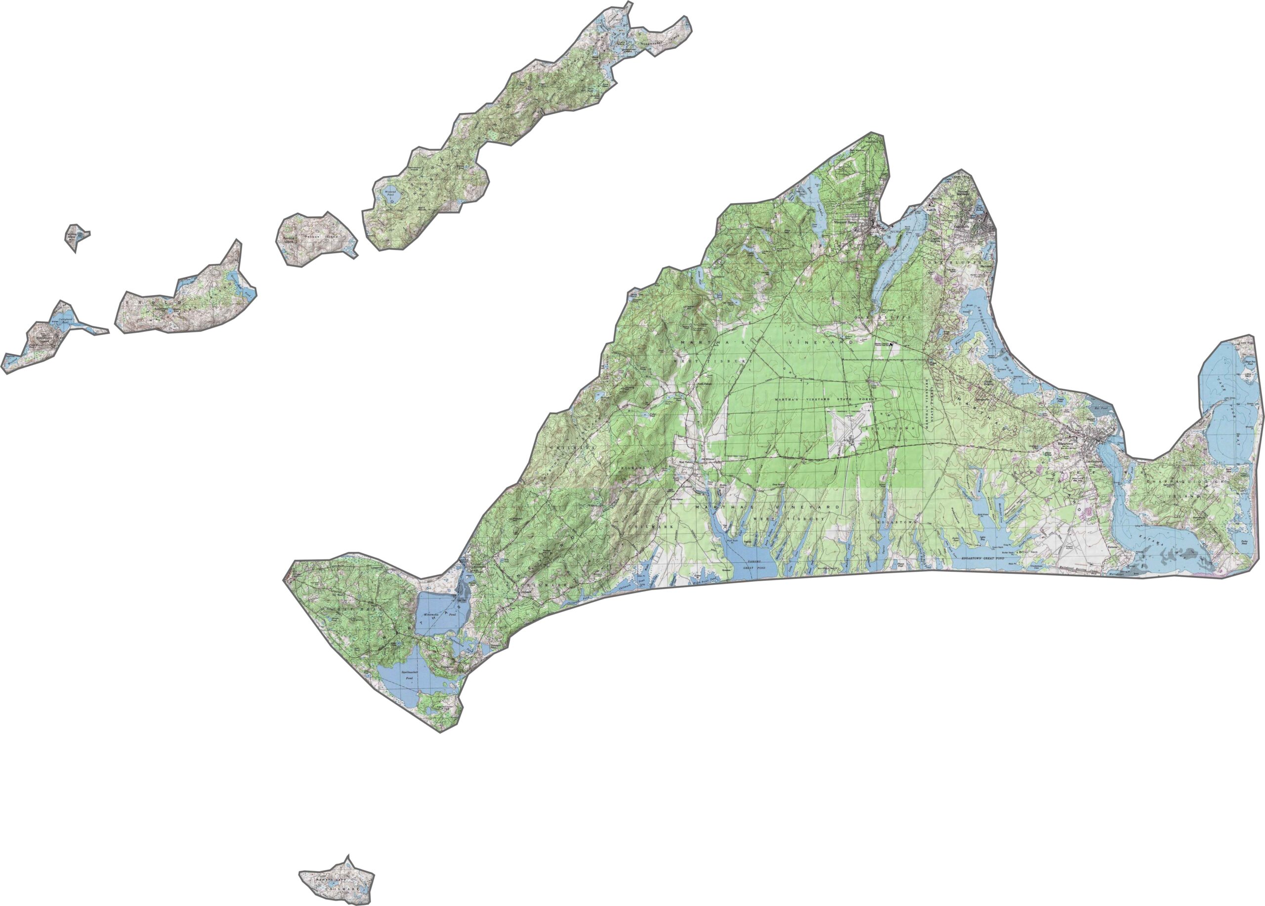
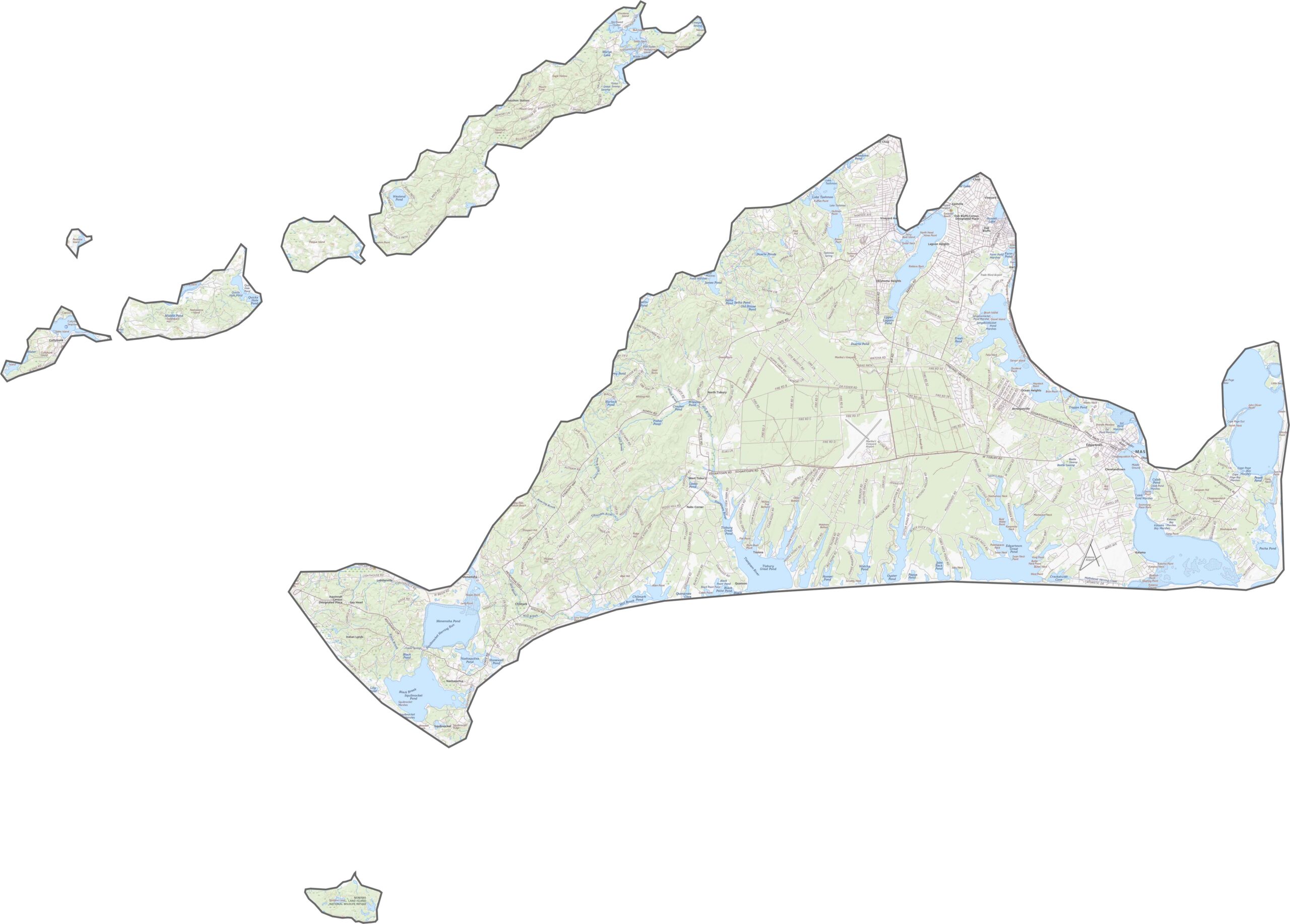
Dukes County is mostly flat, with a few bluffs and gentle hills rising inland. Elevation changes are subtle, while shorelines and ponds stand out more across the landscape. You can zoom in and explore every contour with our topographic map below.
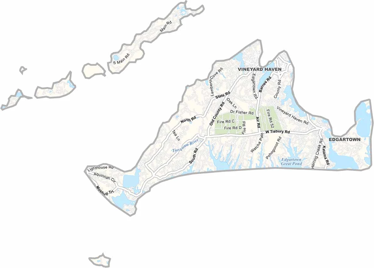
Roads in Dukes County are limited to the islands, particularly Martha’s Vineyard. There are no interstates or bridges connecting the islands to the mainland. Although the road network is limited, getting around is fairly easy. Most traffic stays local, with buses providing service and many cars arriving by ferry.
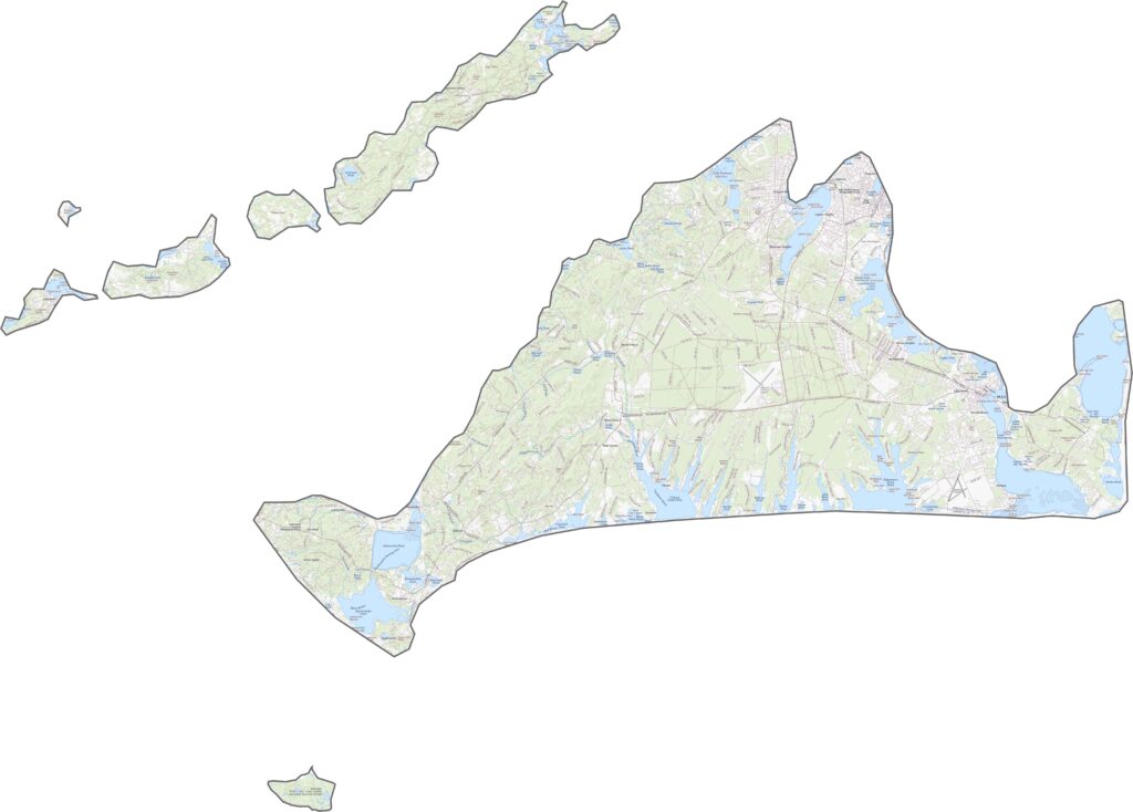
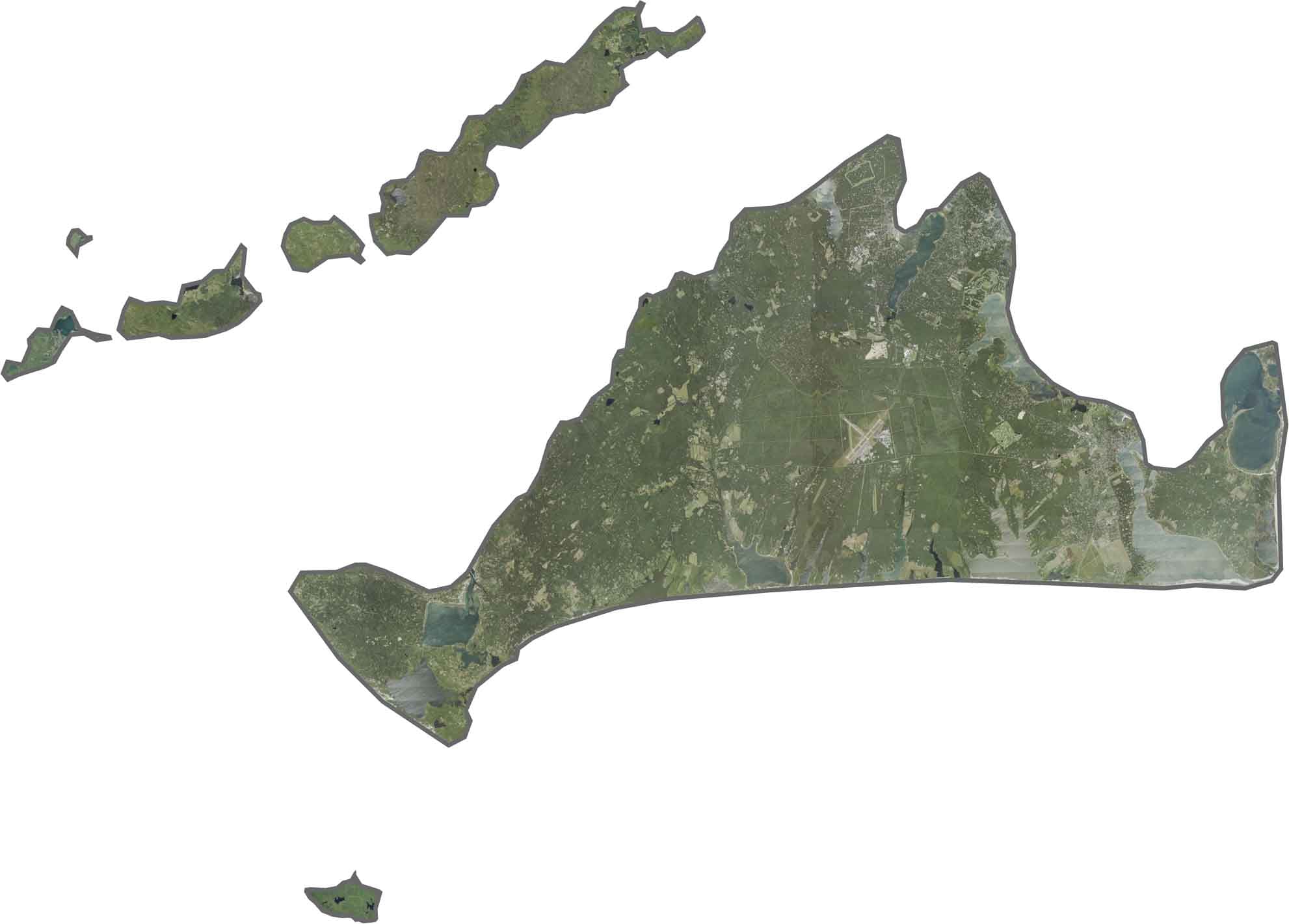
Our satellite map of Dukes County clearly shows the island’s beaches, along with large ponds and inlets cutting into the landscape, especially along the southern edge. Wooded areas cover much of the island, while open fields appear farther inland. Martha’s Vineyard Airport is also easy to spot from above.
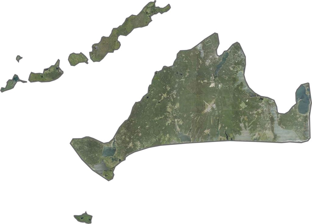
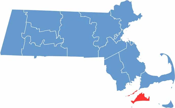
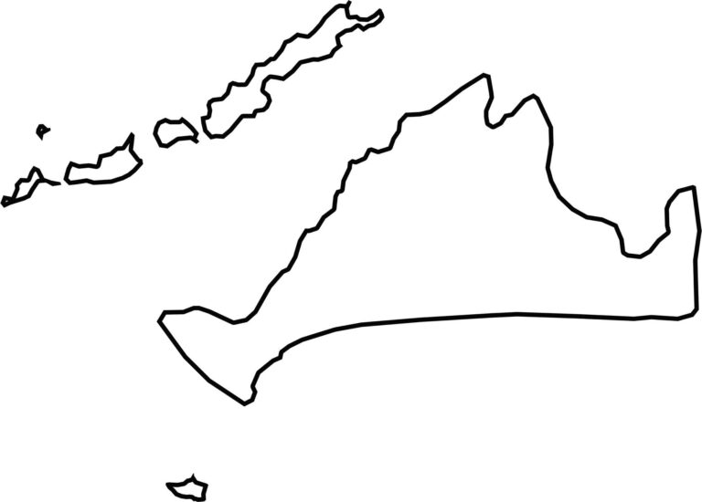
Dukes County is made up of several islands and does not border another state. Instead, it is surrounded by the Atlantic Ocean. Martha’s Vineyard is the largest island, while smaller areas such as Chappaquiddick and Cuttyhunk are also included. The county has an irregular shape, with numerous bays, coves, and jagged coastlines.

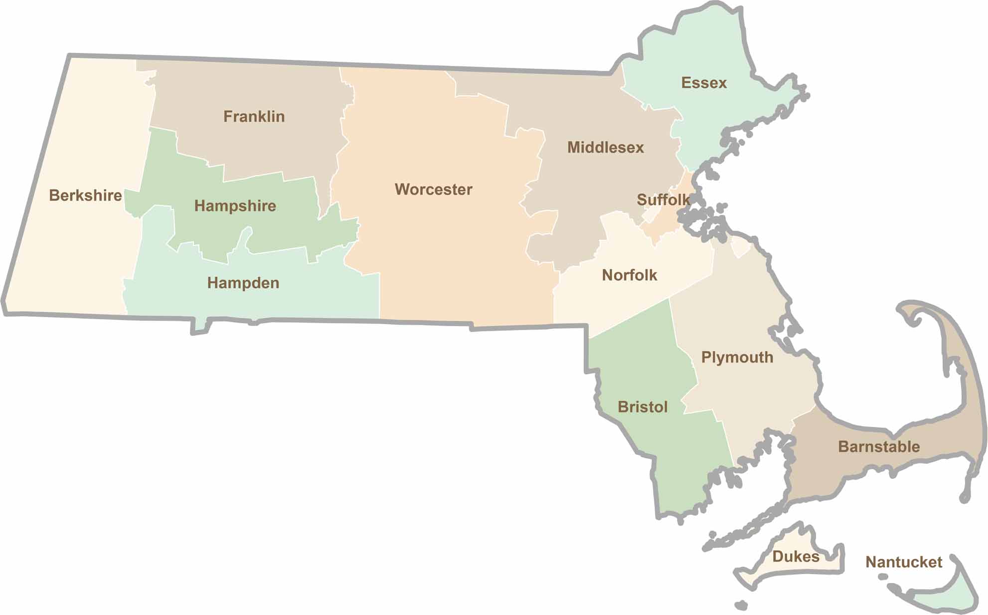
Small state, big personality. Boston’s skyline is packed with history, while the Cape delivers beach days and lobster rolls. Massachusetts brings together history, culture, and coastline across its 14 counties.