
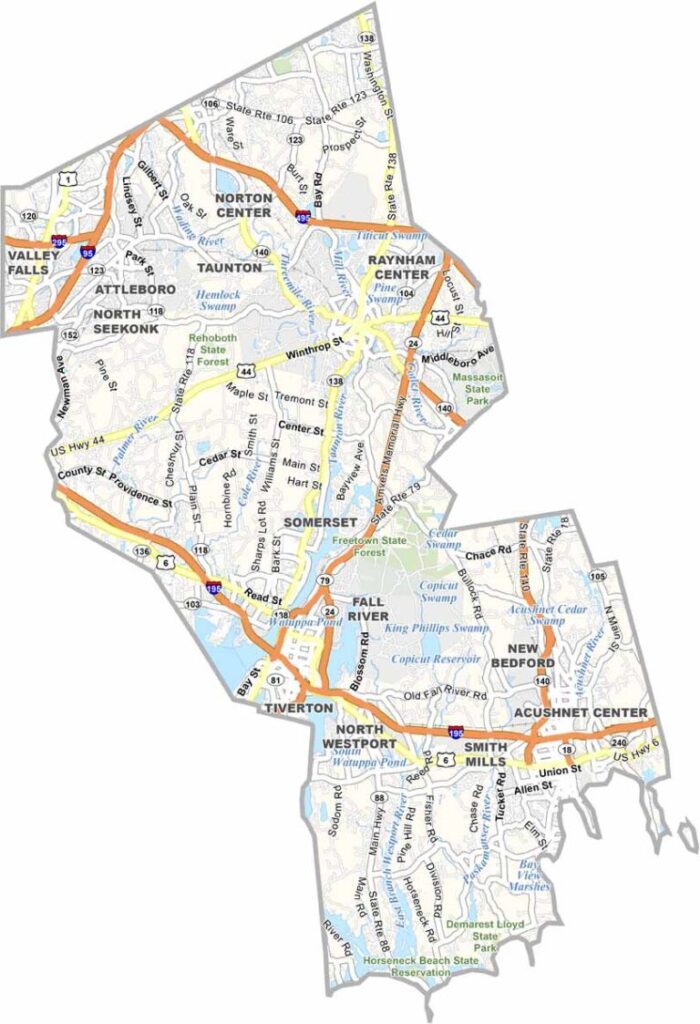
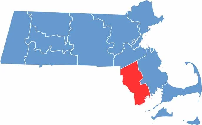
Bristol County is located in southeastern Massachusetts. It borders Rhode Island to the west and reaches Cape Cod Bay along its eastern side.
The county has experienced plenty of changes over the centuries. Its economy has shifted from whaling communities to textile mills and continues to evolve today. The landscape now includes a blend of urban areas and rural communities.
Fall River and New Bedford offer a more urban atmosphere, while smaller towns such as Freetown and Rehoboth provide a quieter setting. The county’s coastline remains one of its biggest attractions for visitors and locals alike.
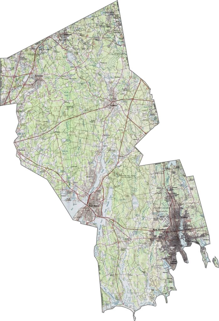
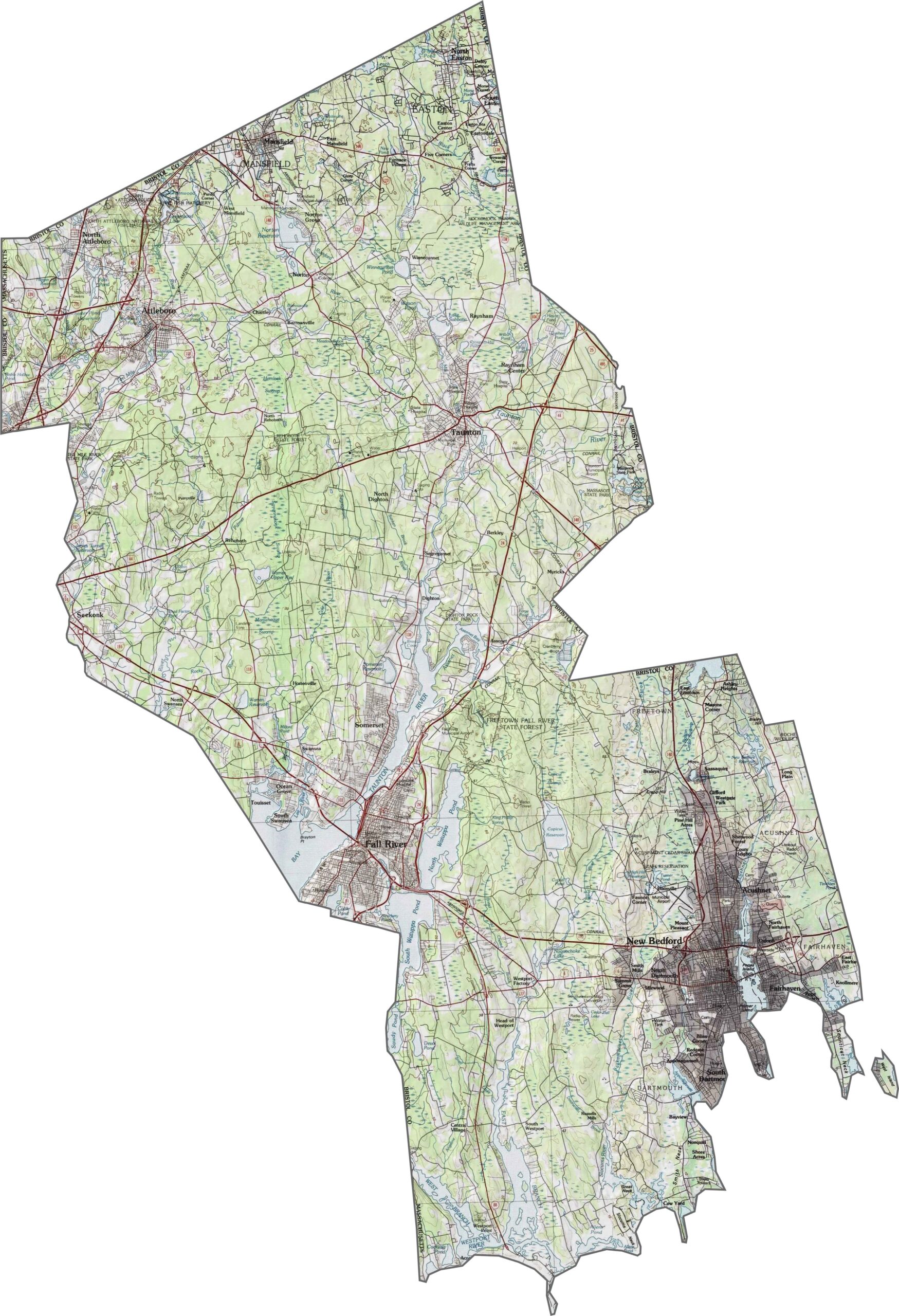
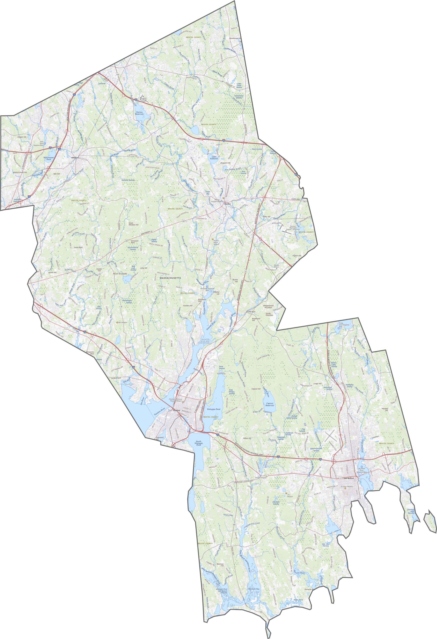
Our topographic map shows Bristol County’s gentle slopes and limited hills. Most of the terrain is low-lying, although inland ridges are still noticeable. Wetlands and river valleys also shape the landscape in subtle ways.
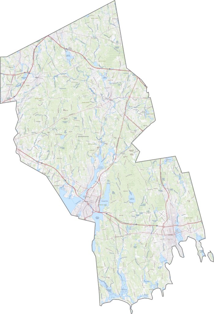
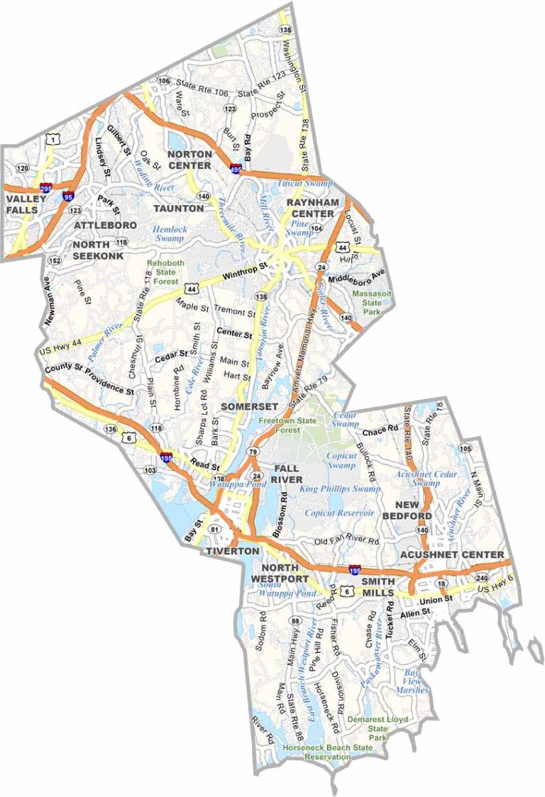
Bristol County has roads connecting its cities, towns, and ports. I-195 and I-95 both cross the county, although they follow different routes. Route 24 provides another major connection, but traffic isn’t always smooth. While the county is close to Boston, roads also carry traffic south toward Rhode Island. Smaller highways cross the area as well. Use our zoom tool to explore every turn and interchange.
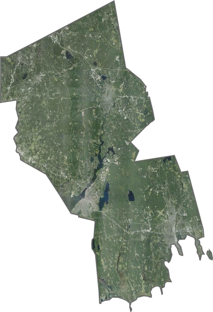
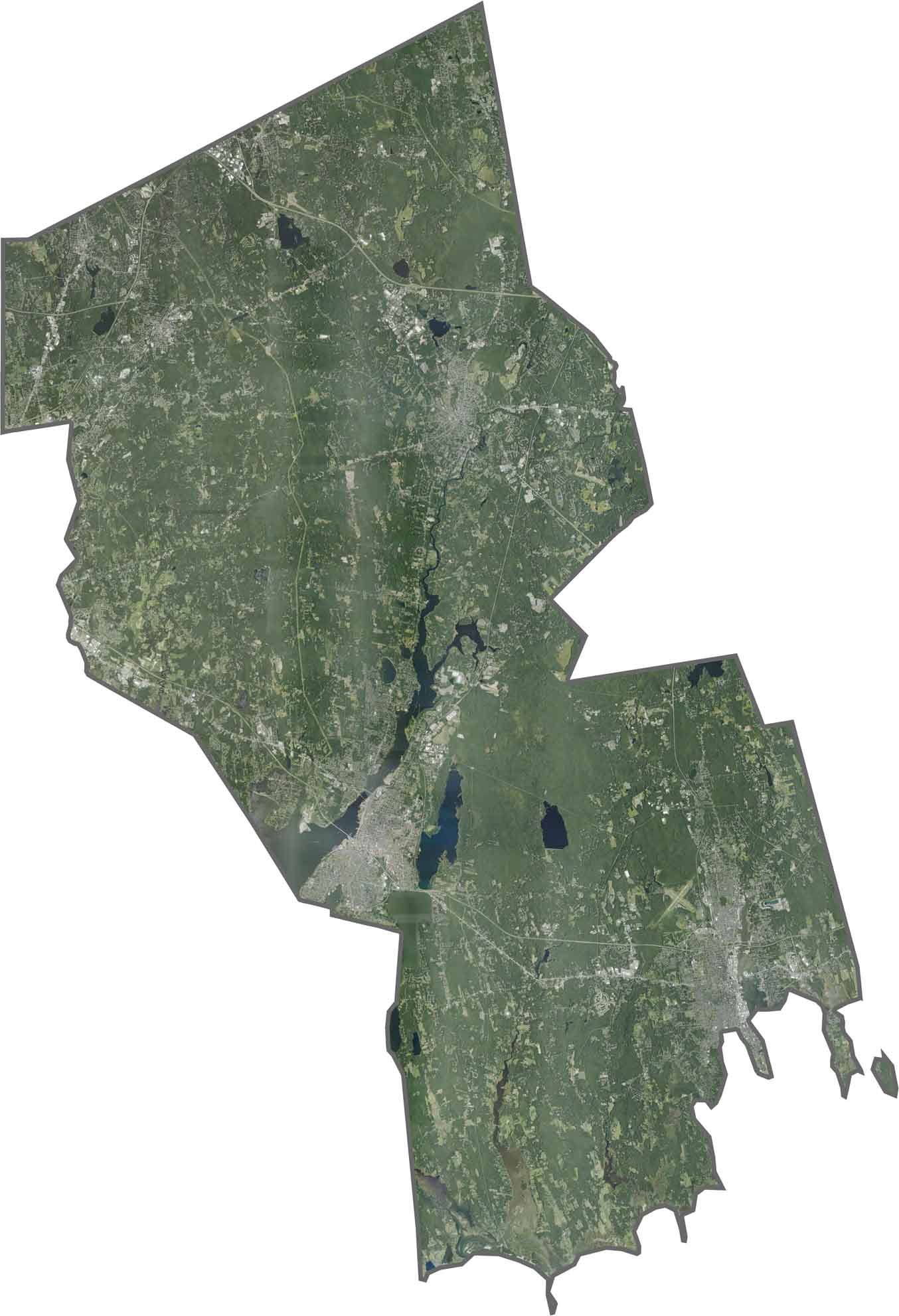
Urban areas such as Fall River and New Bedford stand out immediately on our satellite map of Bristol County. At the same time, farmland and suburban communities cover large parts of the landscape. The satellite image clearly shows the mix of city blocks, open land, and forested areas.
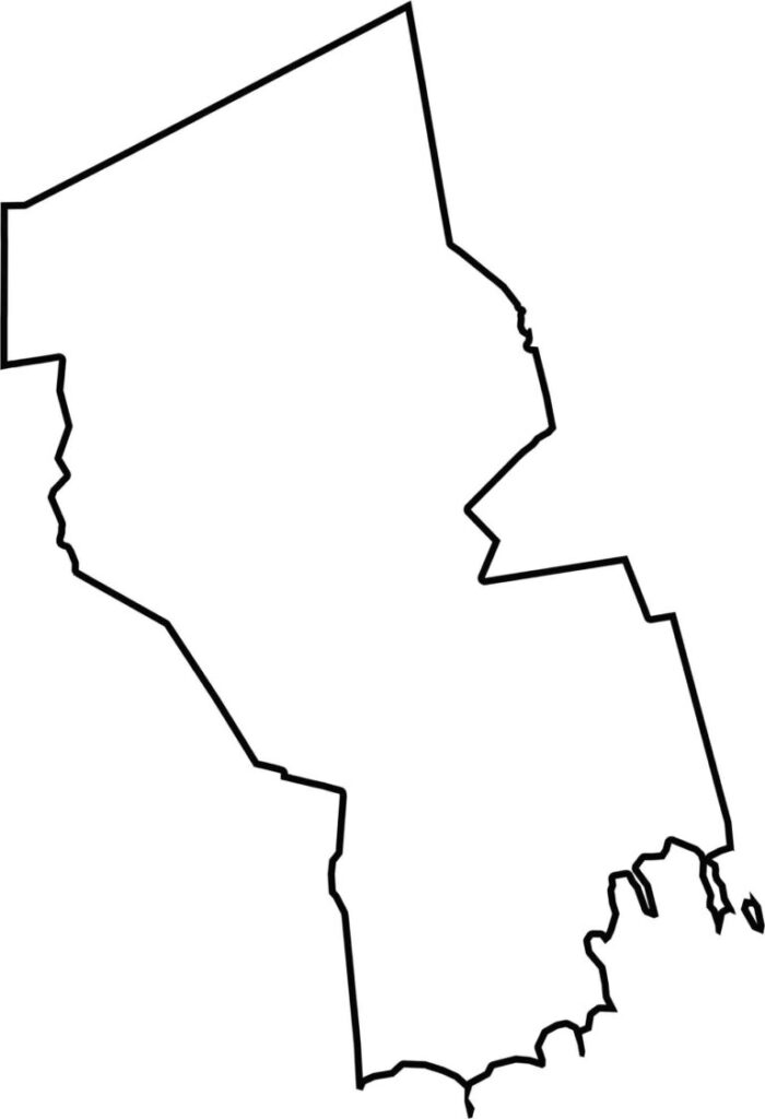
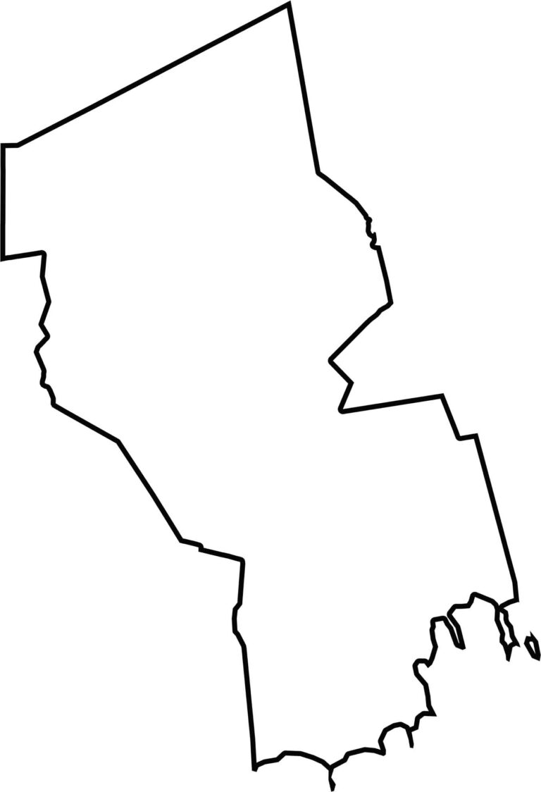
Bristol County borders Rhode Island along its western edge and reaches the Atlantic Ocean to the southeast. Its northern boundary is relatively straight, while rivers wind through much of the county and add curves to the landscape.
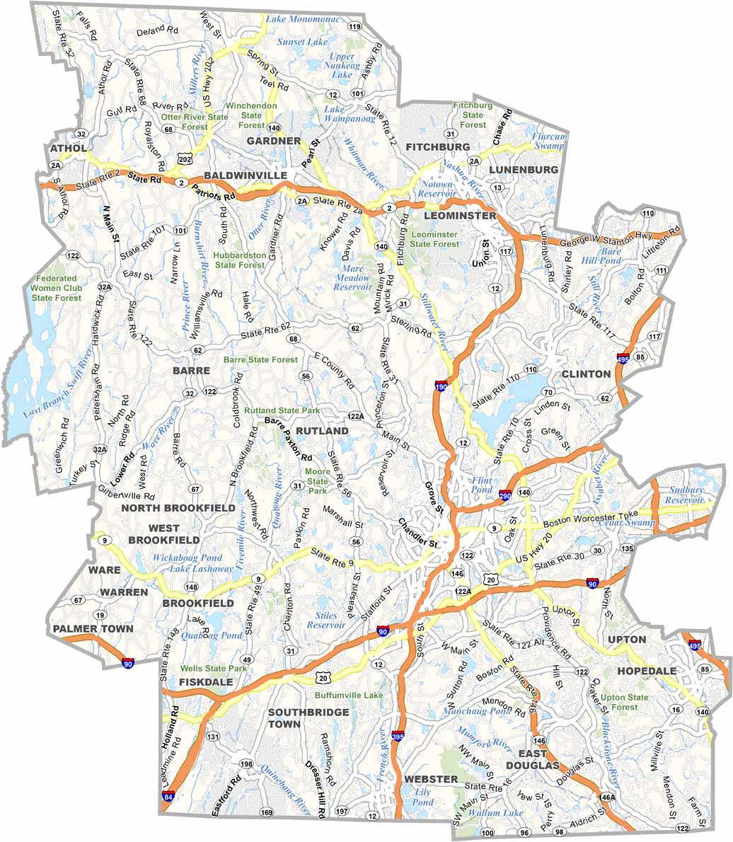
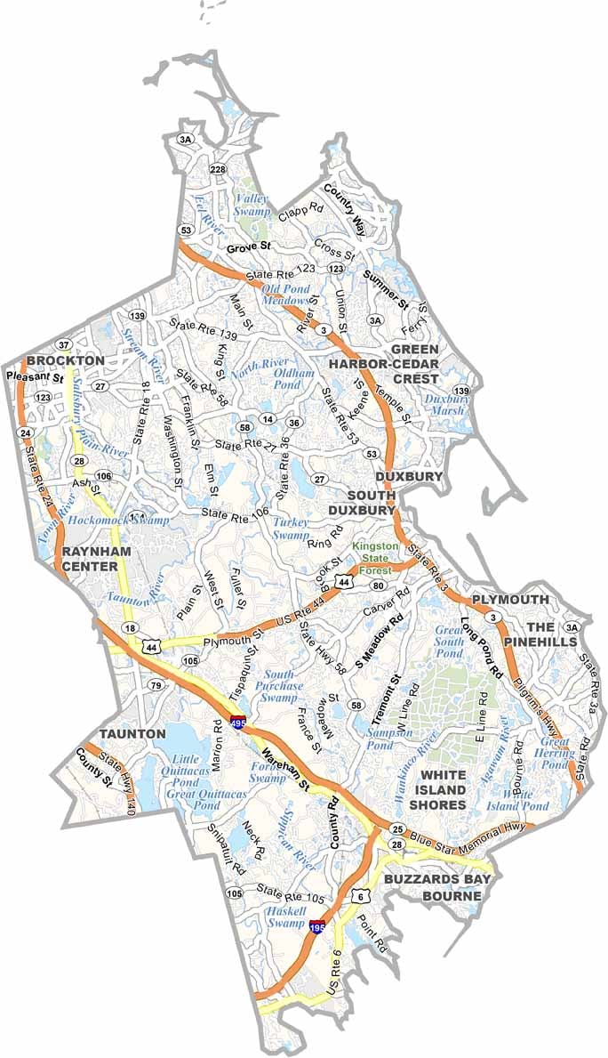
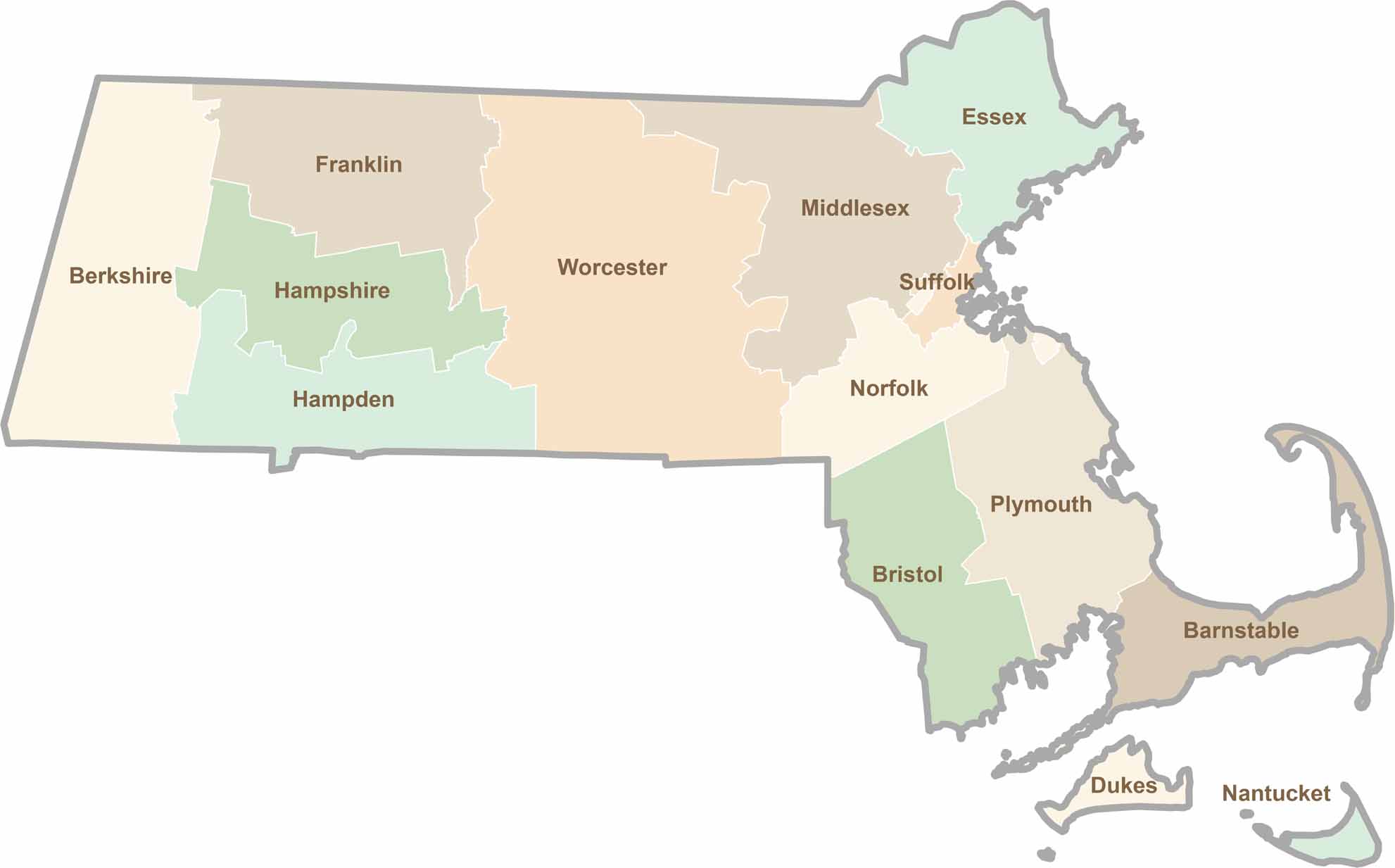
Small state, big personality. Boston’s skyline is packed with history, while the Cape delivers beach days and lobster rolls. Massachusetts brings together history, culture, and coastline across its 14 counties.