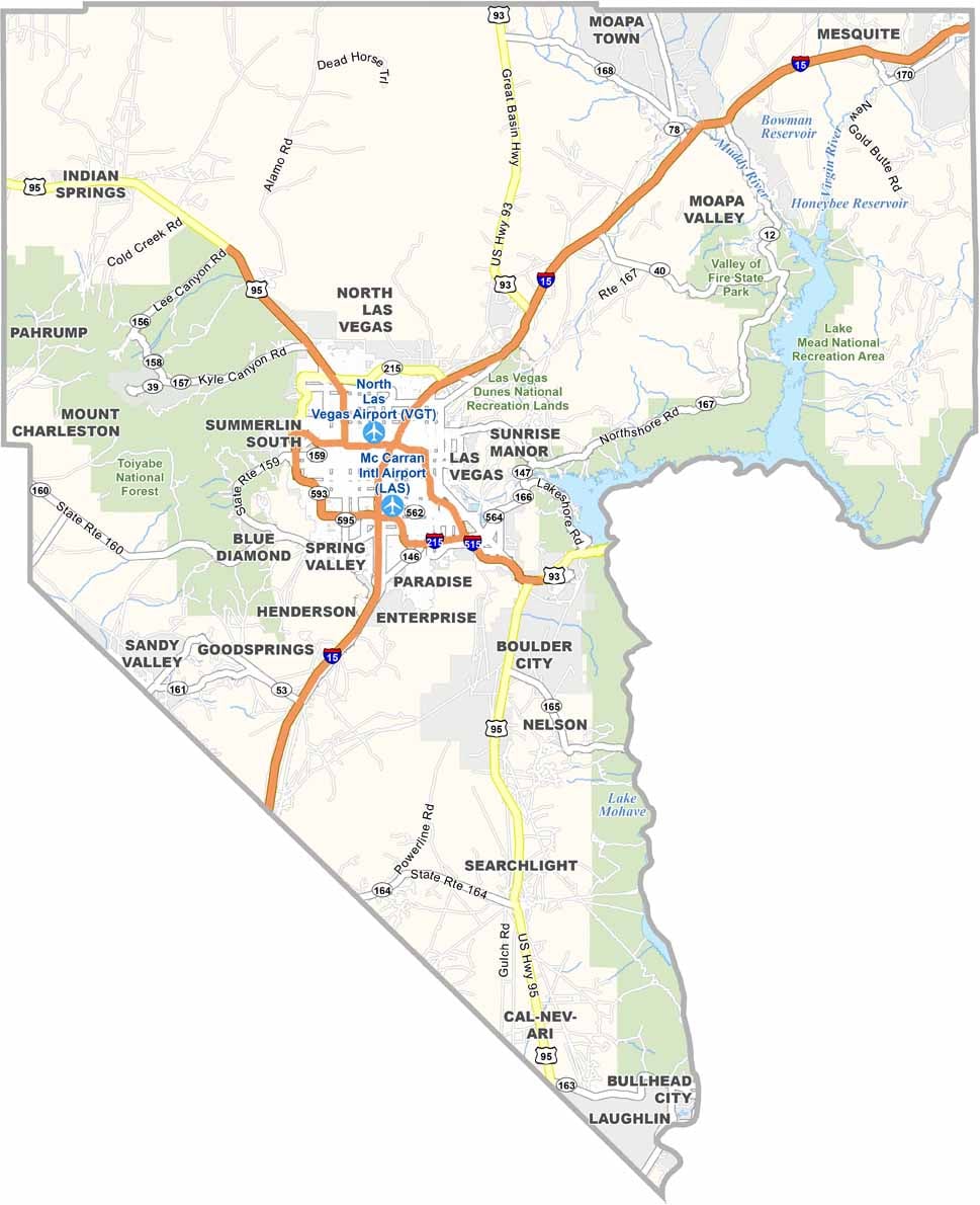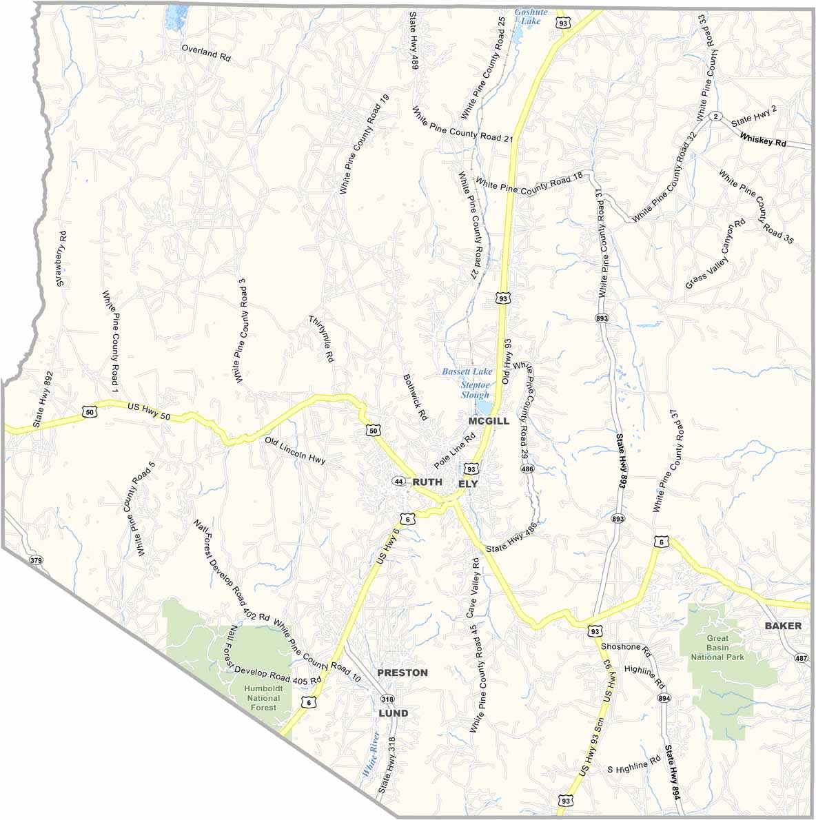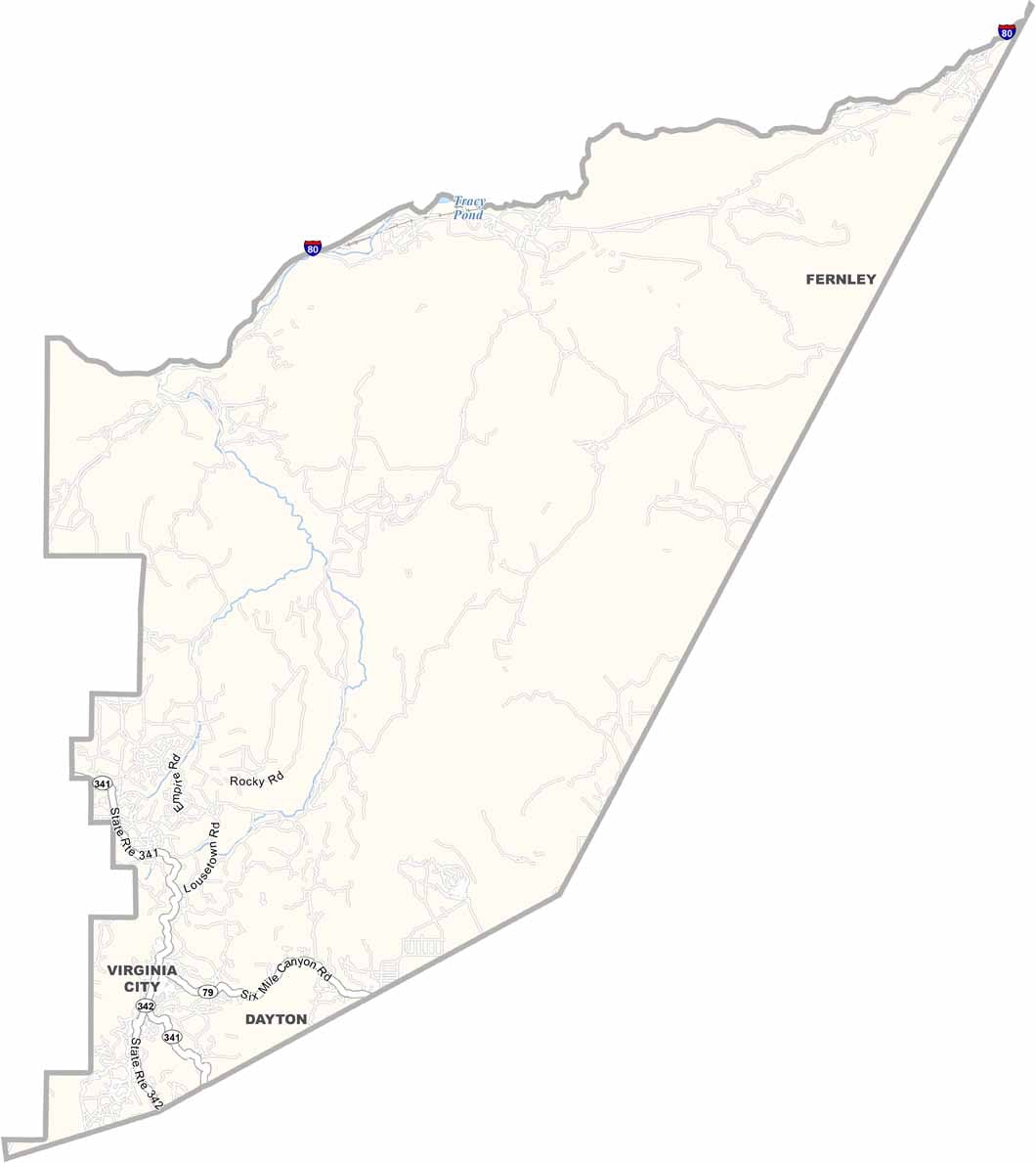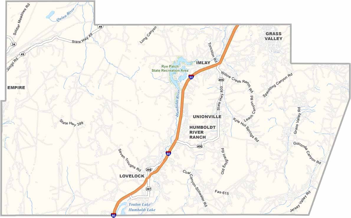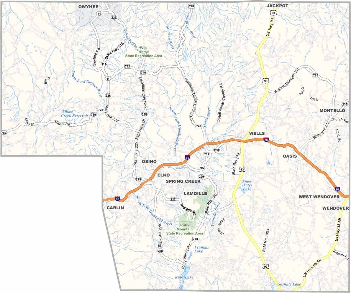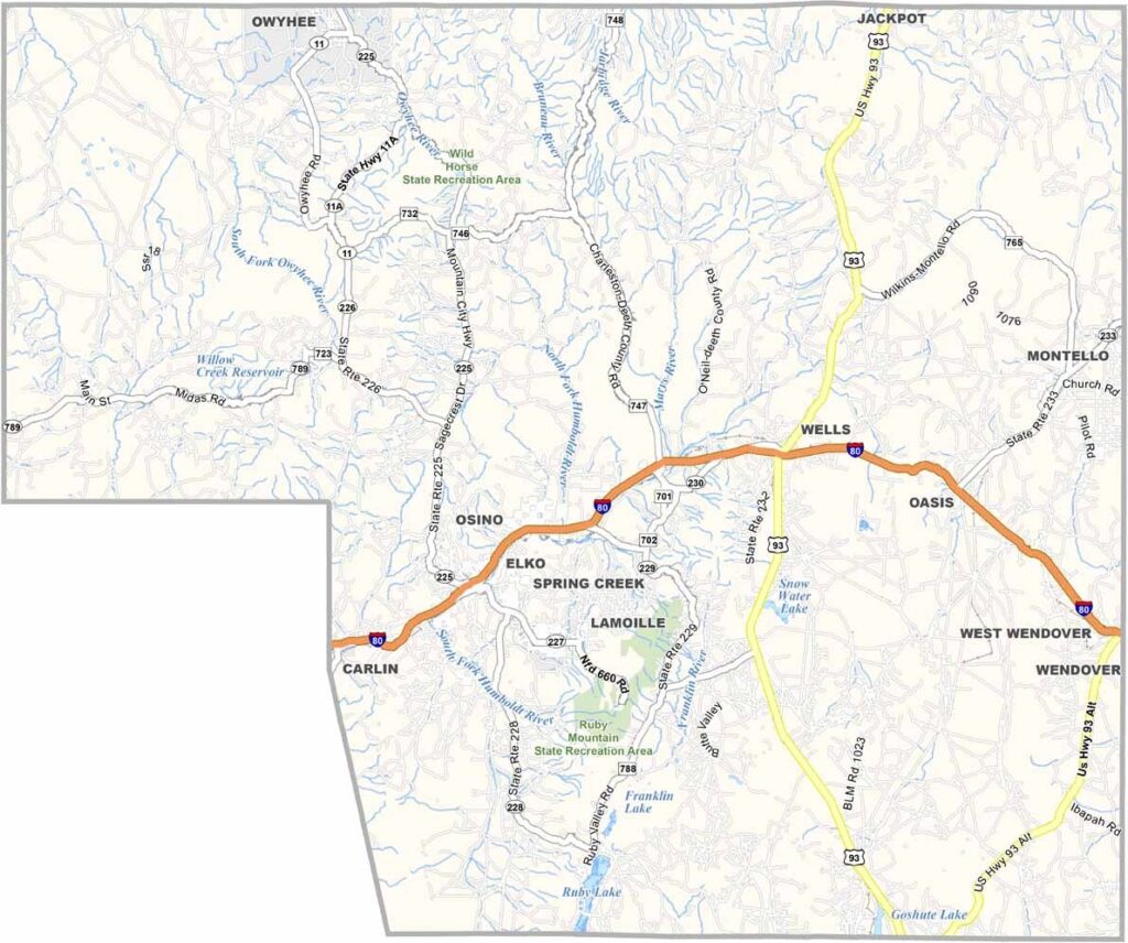
Elko County Map, Nevada

Elko County, Nevada

Elko County sits in the far corner of northeastern Nevada, bordering Idaho and Utah, a vast expanse of rugged beauty and frontier spirit. It's big. Really big, roughly the size of Massachusetts, yet it's only the second largest county in Nevada. The Ruby Mountains, often called the "Alps of Nevada," dominate the landscape.

Elko, the county seat, serves as a hub for ranchers and miners. This is cowboy country, with the annual National Cowboy Poetry Gathering drawing folks from all over. Gold mining still plays a huge role in the local economy, and you can pan for your own at the California Trail Interpretive Center.

The area's Basque heritage shines through in its cuisine, so try the lamb and a Picon Punch. Wilderness areas like the Jarbidge draw hikers and campers seeking solitude. Despite its isolation, Elko County has a warmth that keeps people coming back.
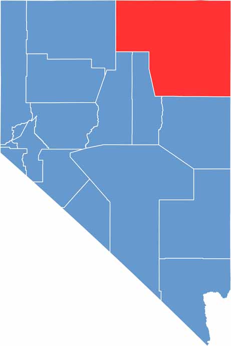
Elko County location map of Nevada
CategoryDetails
County NameElko County
County SeatElko
EtymologyNamed after the Shoshoni word meaning “white woman”
Cities, Towns, and CommunitiesElko, West Wendover, Carlin, Wells, Jackpot, Spring Creek, Lamoille
Interstates and HighwaysInterstate 80, U.S. Highway 93, Nevada State Route 225, Nevada State Route 227
FIPS Code32-007
Total Area (Land and Water)17,203 square miles (17,170 sq mi land, 33 sq mi water)
Adjacent Counties (and Direction)Owyhee County, Idaho (Northwest), Twin Falls County, Idaho (North), Cassia County, Idaho (Northeast), Box Elder County, Utah (East), Tooele County, Utah (Southeast), White Pine County (South), Eureka County (Southwest), Lander County (Southwest), Humboldt County (West)
Time ZonePacific Time Zone (PT) / Mountain Time Zone (MT) in some areas
StateNevada
Coordinates40.8324° N, 115.7631° W
Major LandmarksRuby Mountains, Lamoille Canyon, California Trail Interpretive Center, Jarbidge Wildernes
PopulationApproximately 56,500
Scroll to Top