Emmet County, Iowa

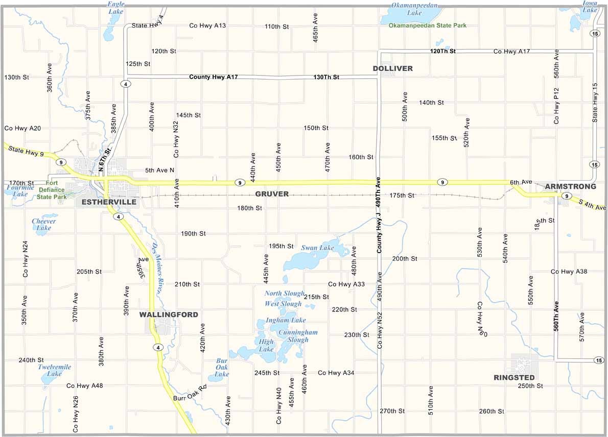
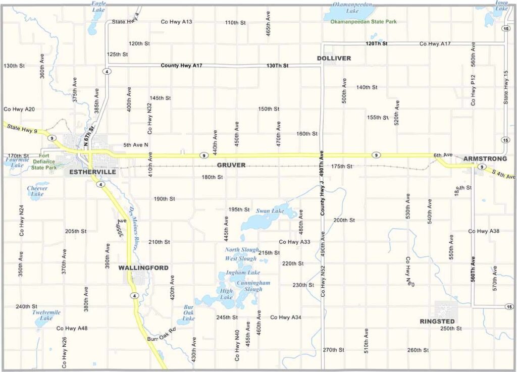
Emmet County sits along Iowa’s northern edge, bordering Minnesota. Estherville, the county seat, has a truly out-of-this-world claim to fame. In 1879, a meteor exploded over the area, scattering fragments across the surrounding countryside.

The Des Moines River flows through the county and also passes through Estherville. Emmet County also has a strong railroad history, with Estherville historically serving as an important transportation hub.

The county is also home to Fort Defiance State Park, a wooded area featuring hiking trails and a rich history dating back to the frontier era. Several lakes can be found throughout the county, including the popular Ingham Lake and High Lake.
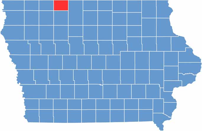

CategoryDetails
County NameEmmet County
County SeatEstherville
Population10,500
Cities, Towns, and CommunitiesEstherville, Armstrong, Dolliver, Ringsted, Swan Lake, Maple Hill, Gruver
Interstates and HighwaysU.S. Highway 9, U.S. Highway 71, Iowa Highway 4
FIPS Code19-063
Total Area (Land and Water)620 square miles (land: 610 sq mi, water: 10 sq mi)
Adjacent Counties (and Direction)Jackson County, Minnesota (Northwest), Martin County, Minnesota (Northeast), Kossuth County (East), Palo Alto County (South), Dickinson County (West)
Time ZoneCentral Time Zone (CST)
StateIowa
Coordinates43.41°N, 94.73°W
EtymologyNamed after Robert Emmet, an Irish patriot
Major LandmarksThe Historic Ocheyedan River, Five Island Lake, Ringsted Golf Club
Scroll to Top