
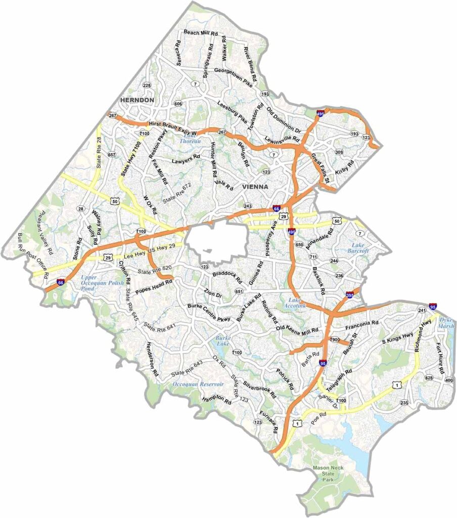
Fairfax County is a busy hub just outside Washington, D.C. It’s one of Virginia’s most populous and diverse counties, with everyone from government employees to tech entrepreneurs calling it home.
The county’s excellent schools attract many families. Tysons Corner serves as a major shopping and business center. Traffic can be frustrating, but that comes with living in such a busy area.
History still has a strong presence here. George Washington’s Mount Vernon is a major attraction, while the county’s many parks and trails provide a break from the urban bustle. Living here can be expensive, but many residents feel the benefits make it worthwhile.
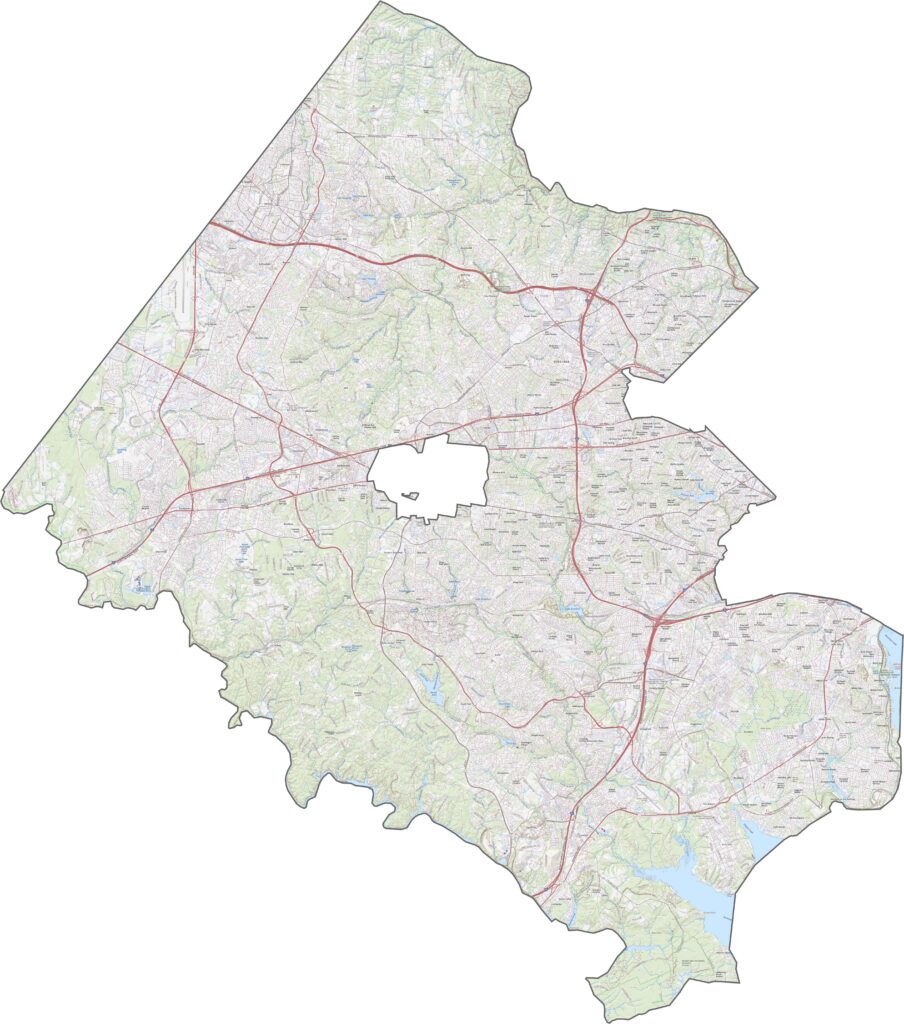
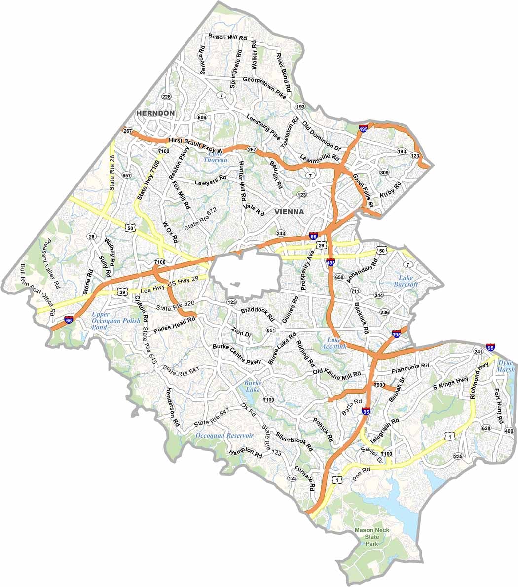
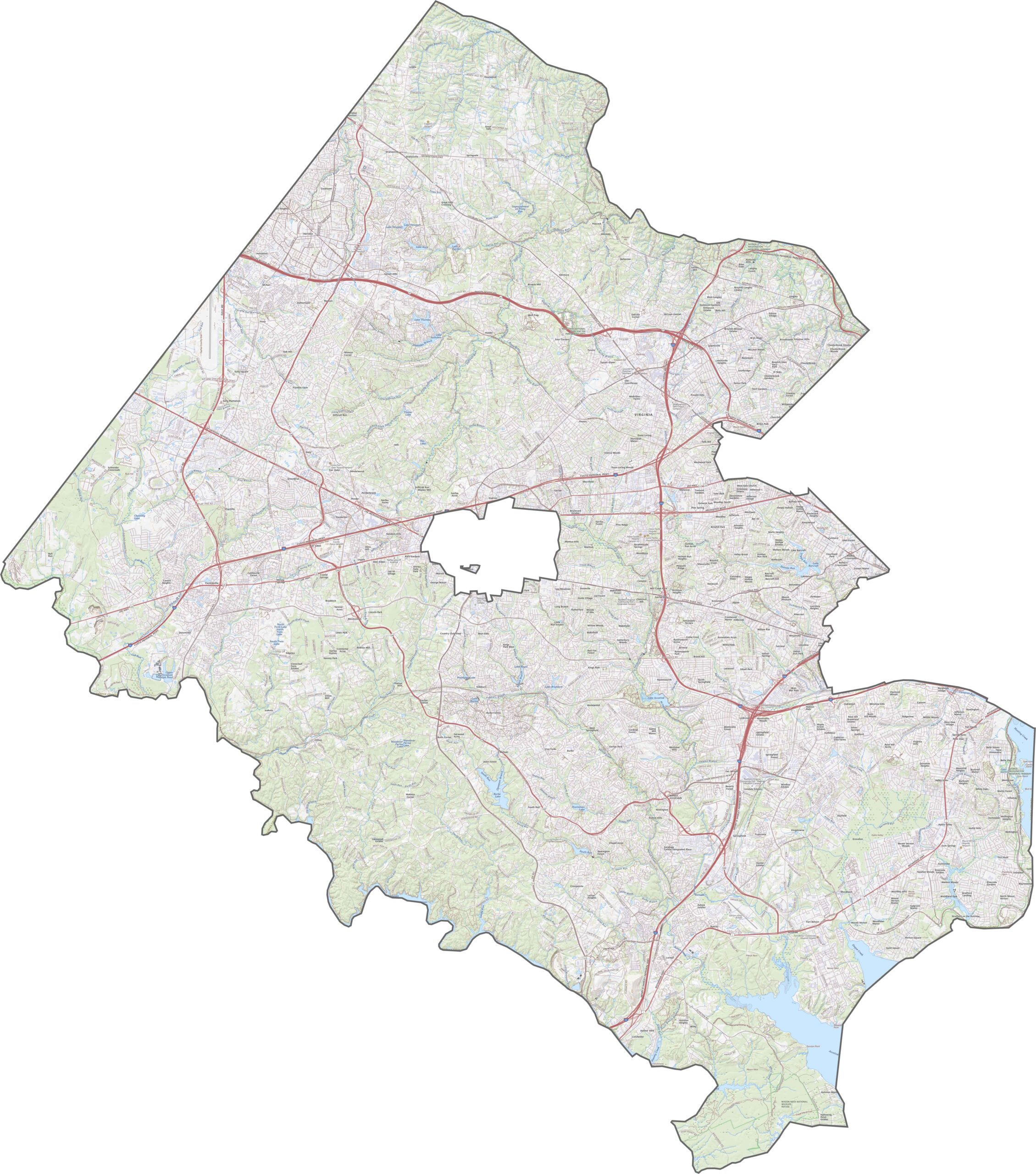
Fairfax County is crisscrossed by roads ranging from local streets to high-speed expressways. I-495 forms a near-circle around the D.C. metro area and cuts directly through the county. Traffic is often heavy, but the road network is well connected. Use our zoom tool to explore the roads in greater detail.
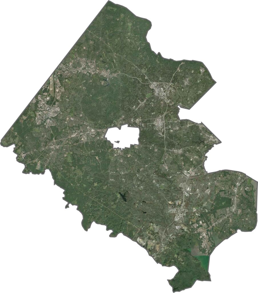
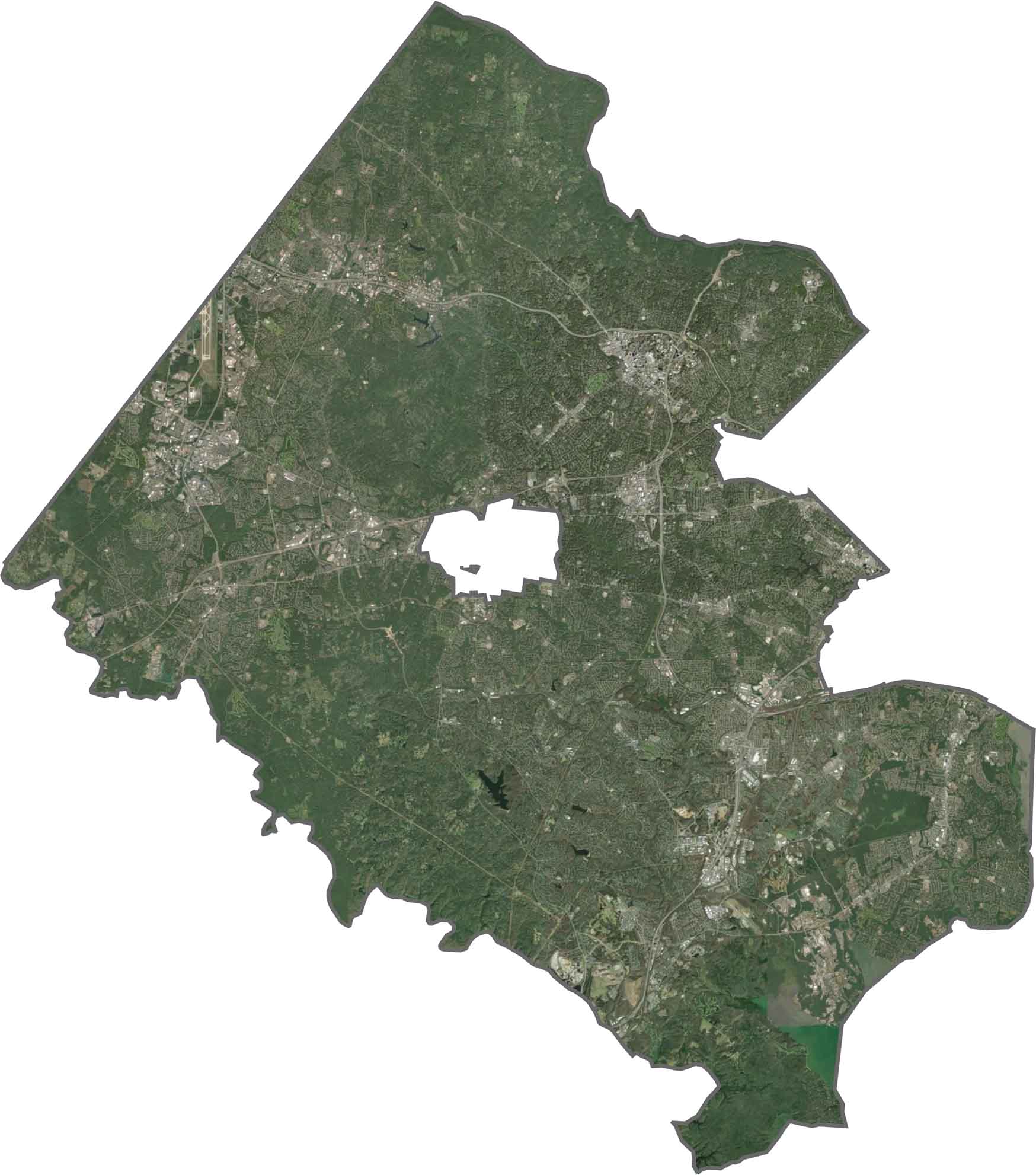
The satellite view shows just how developed Fairfax County is. Dense neighborhoods stretch across much of the area, especially toward the east. Burke Lake stands out in the southern part of the county.
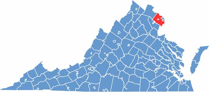
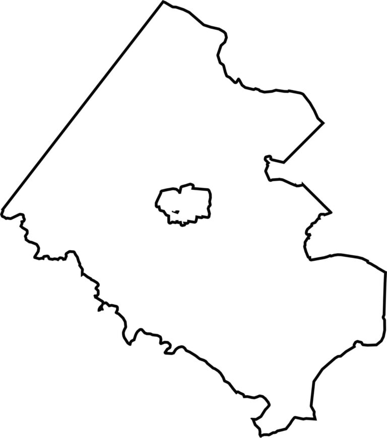
Fairfax County has an irregular shape that resembles a wedge. The Potomac River helps form its eastern border, separating it from Maryland. Fairfax City is carved out near the center of the county.
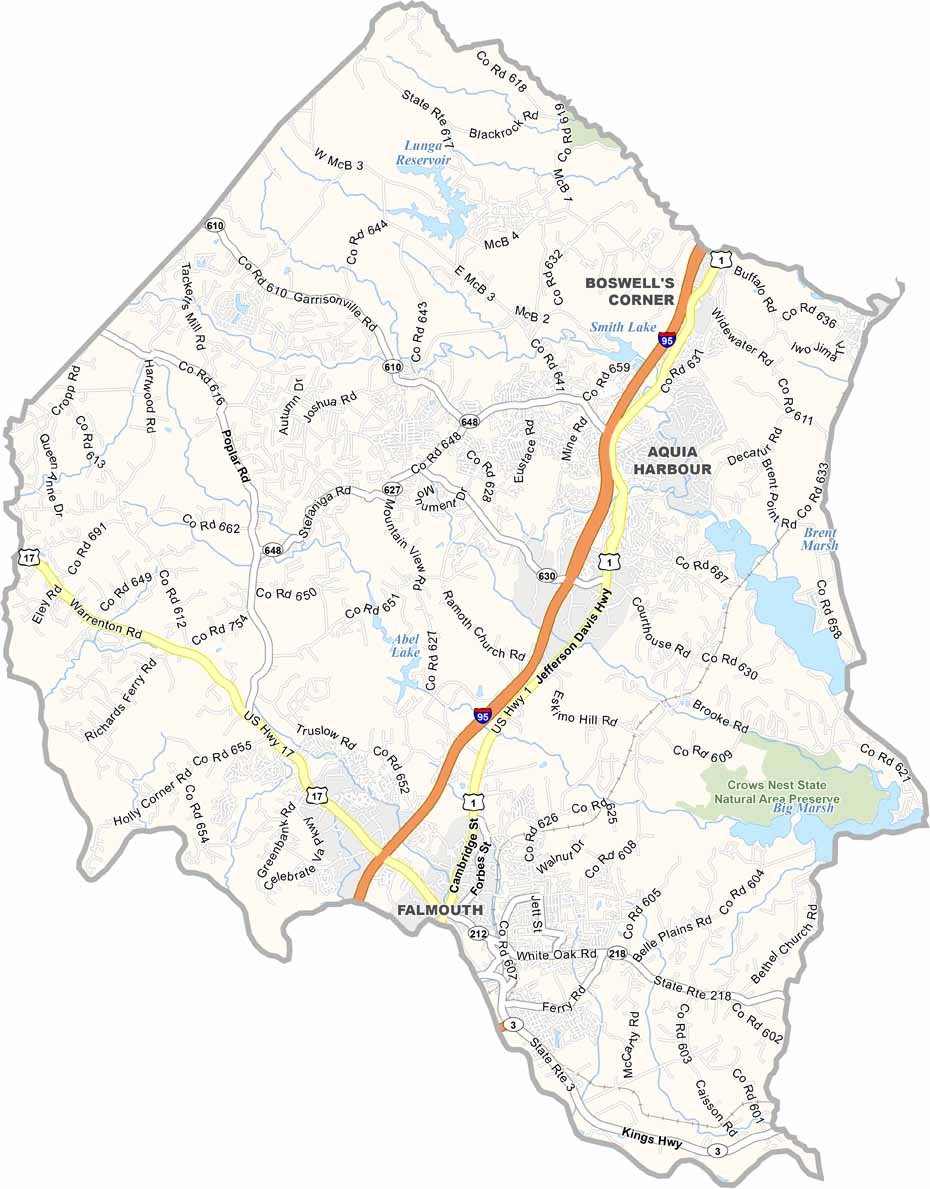
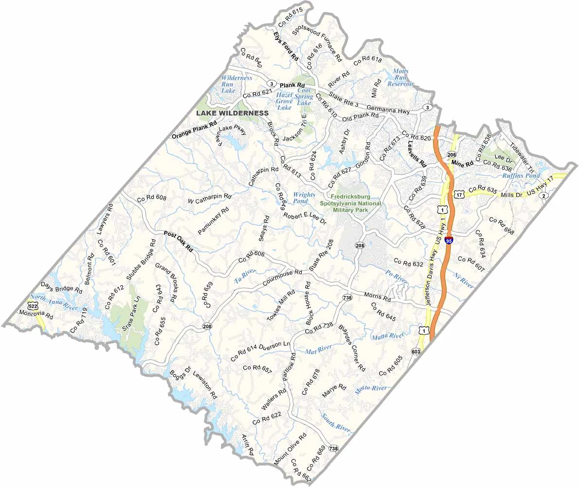
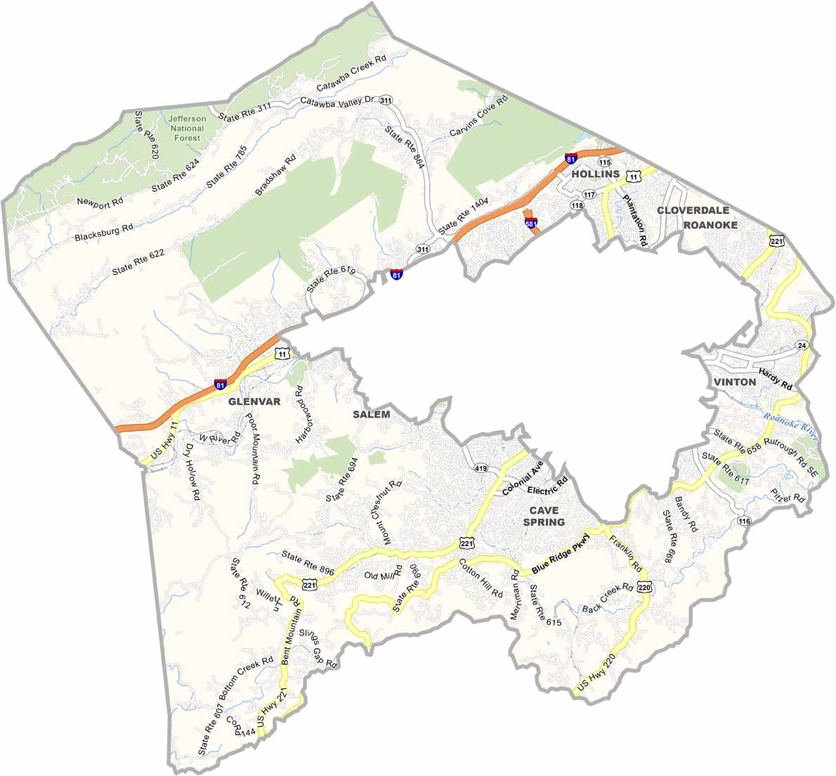

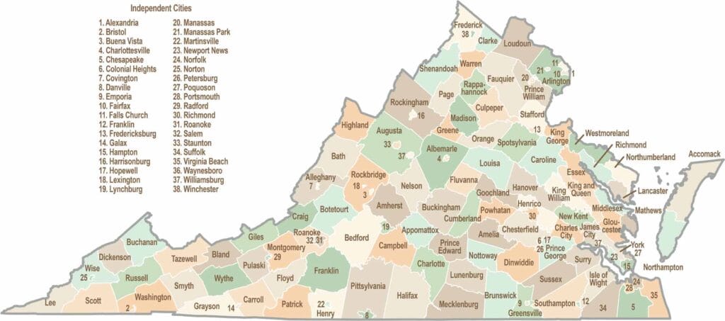
Virginia’s 95 counties bring together old-school roots, winding mountain roads, and Civil War history. One county is known for peanuts, another for presidents. Some feel distinctly rural, while others sit closer to the action around the nation’s capital.