
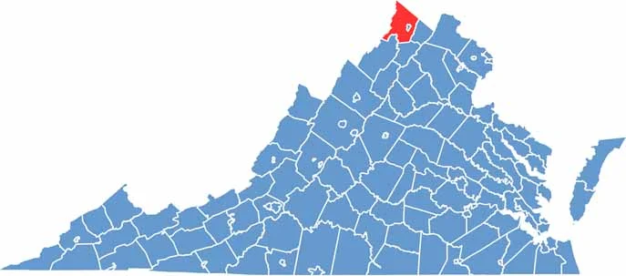
Frederick County anchors the northern end of Virginia’s Shenandoah Valley. Winchester serves as the county seat and is rich in Civil War history. The annual Apple Blossom Festival is also a major local event.
The Blue Ridge Mountains rise to the east, providing scenic drives and plenty of opportunities for hiking. The Museum of the Shenandoah Valley also highlights the region’s art and culture.
Frederick County’s location makes it a gateway to both Washington, D.C., and the Appalachian Mountains. Winchester’s Old Town features a pedestrian mall lined with shops and restaurants. Despite continued growth, the county has maintained its agricultural roots and natural beauty.
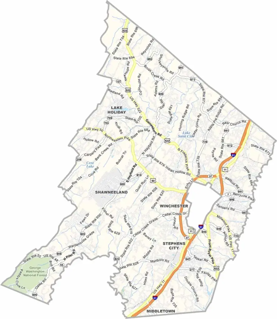
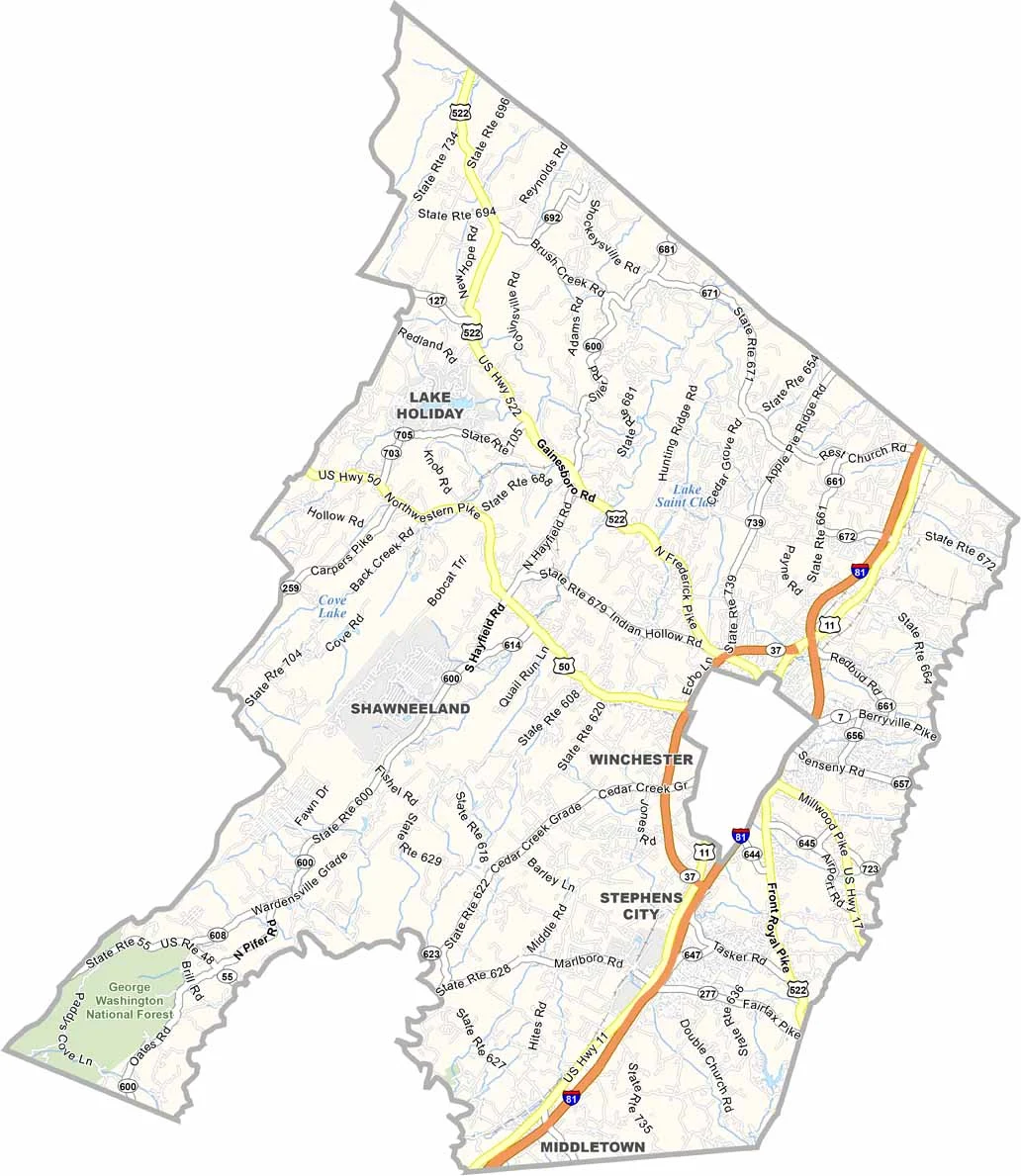
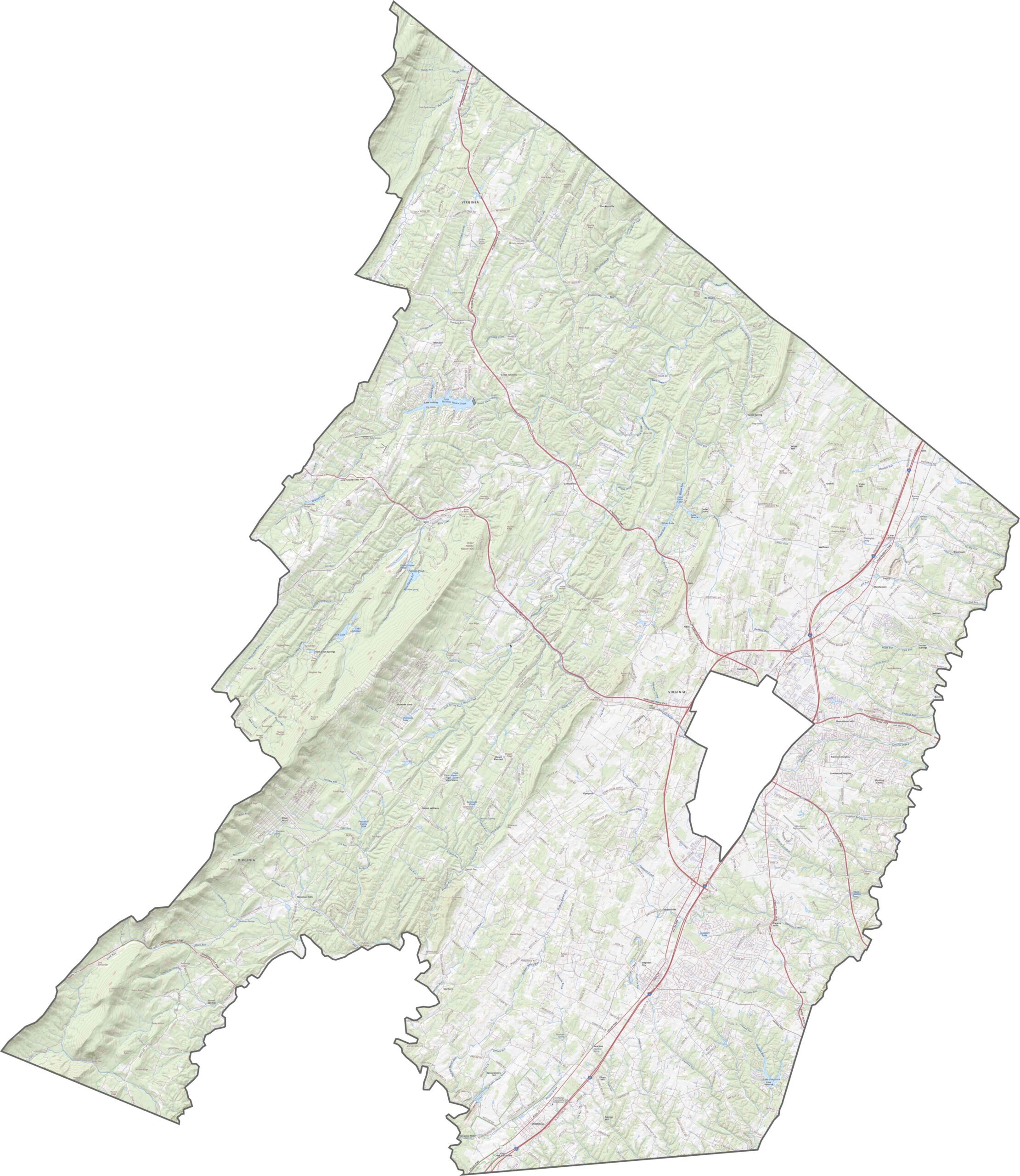
Several major roads cross Frederick County, with Interstate 81 running north to south through the center. Other routes follow older trails and paths through the valleys. Use our zoom tool below to explore the road network from ridge to ridge.
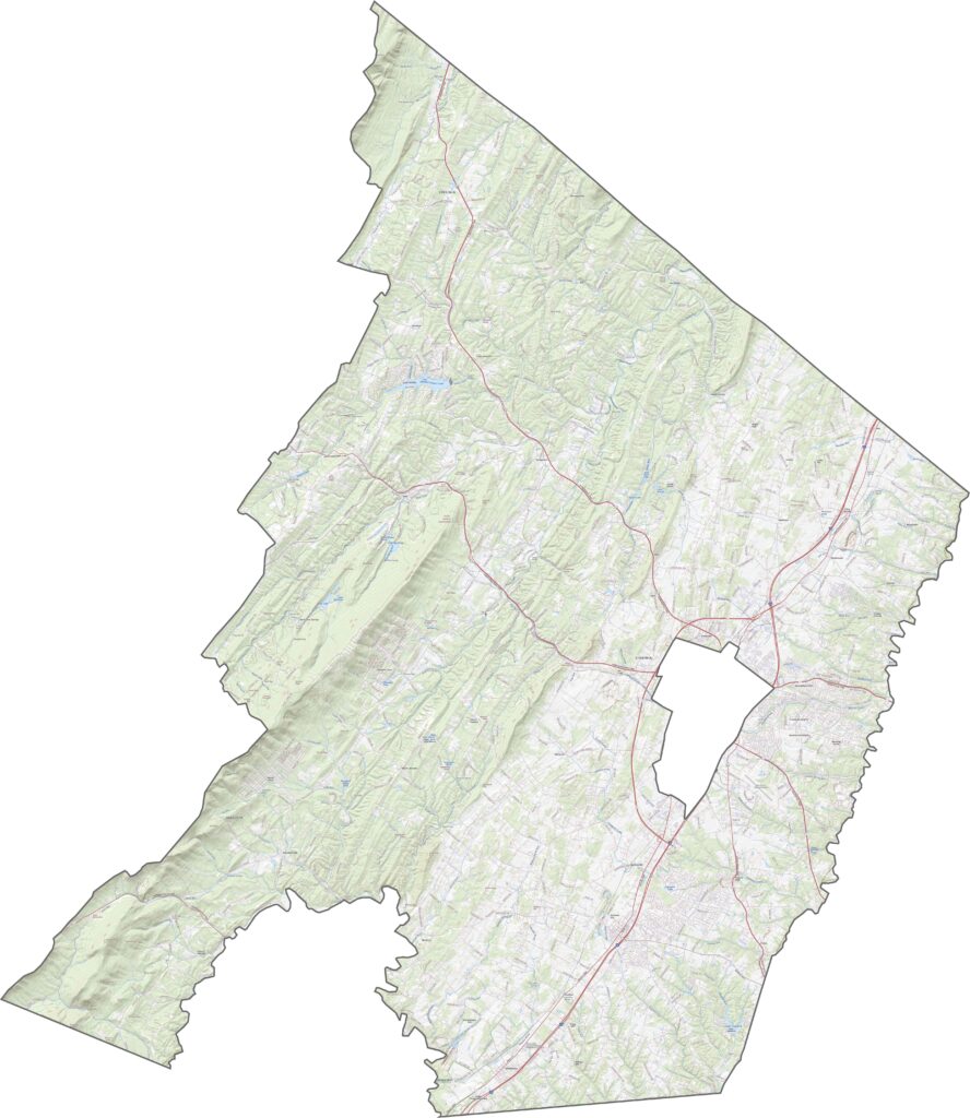
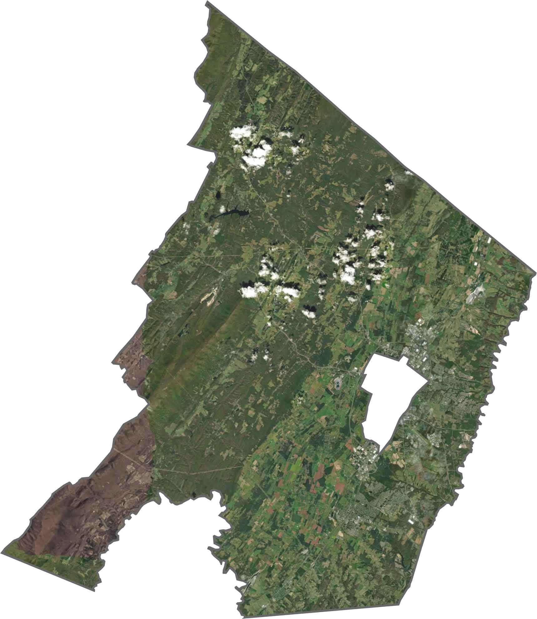
From above, the county shows a clear divide. Forests cover much of the west, while open farmland and subdivisions spread across the east. Winchester’s orderly layout is also visible near the center. The city is excluded from the county itself, so it appears as a separate area on the map.
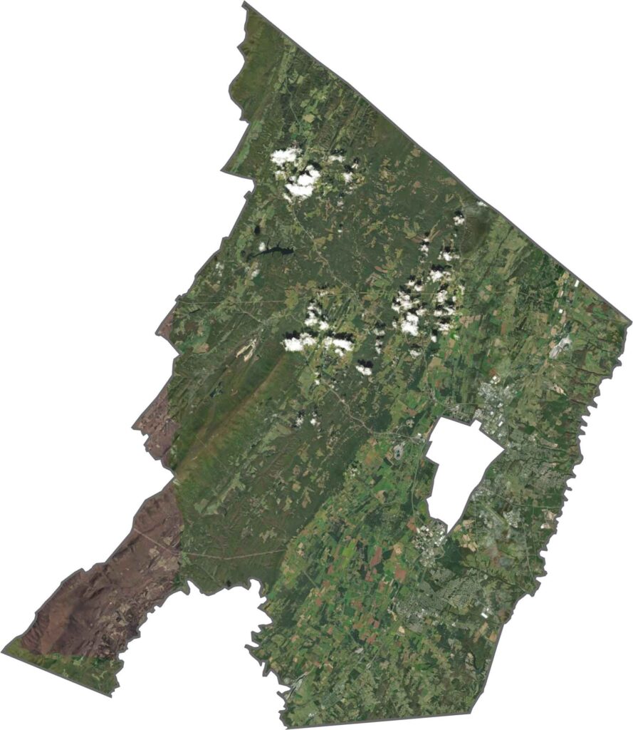
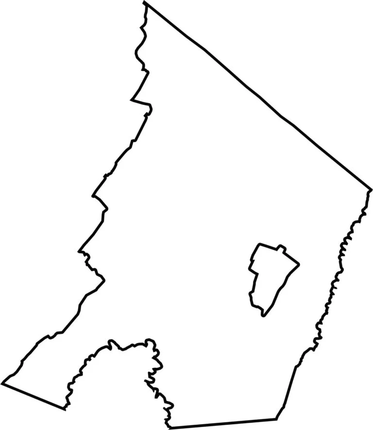
Frederick County has a long, slightly curved outline. Its northern border meets West Virginia, while the county widens toward the south. Winchester City is completely enclosed within Frederick County.

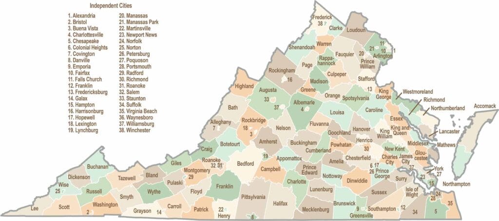
Virginia’s 95 counties bring together old-school roots, winding mountain roads, and Civil War history. One county is known for peanuts, another for presidents. Some feel distinctly rural, while others sit closer to the action around the nation’s capital.