
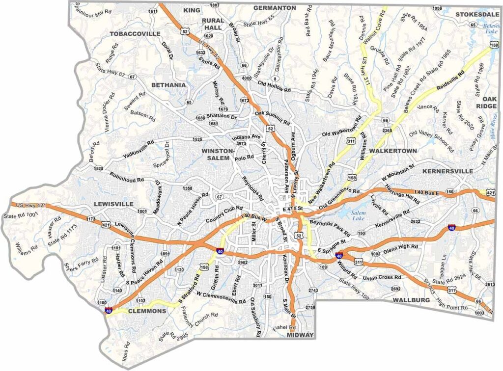
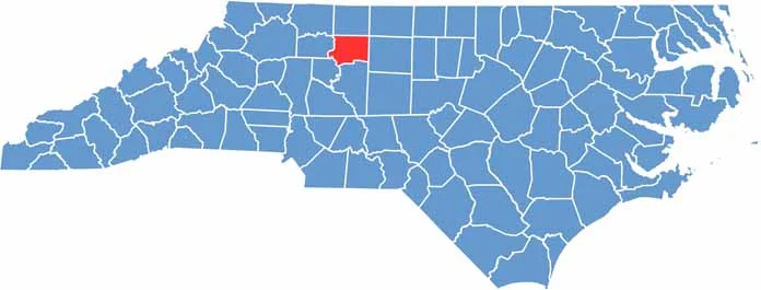
Forsyth County is located in north-central North Carolina. Winston-Salem, the county seat, anchors this part of the Piedmont region. The county’s eastern half stays true to its rural roots.
Once a tobacco and textile powerhouse, it has reinvented itself as an arts and innovation hub. You can find Wake Forest University in Winston-Salem, and the historic Old Salem district transports you back to Moravian settler days.
From killer BBQ joints to high-end eateries, your taste buds won’t be bored. Reynolda House showcases American art in a stunning setting, and you’ll find wineries scattered among the rolling hills.
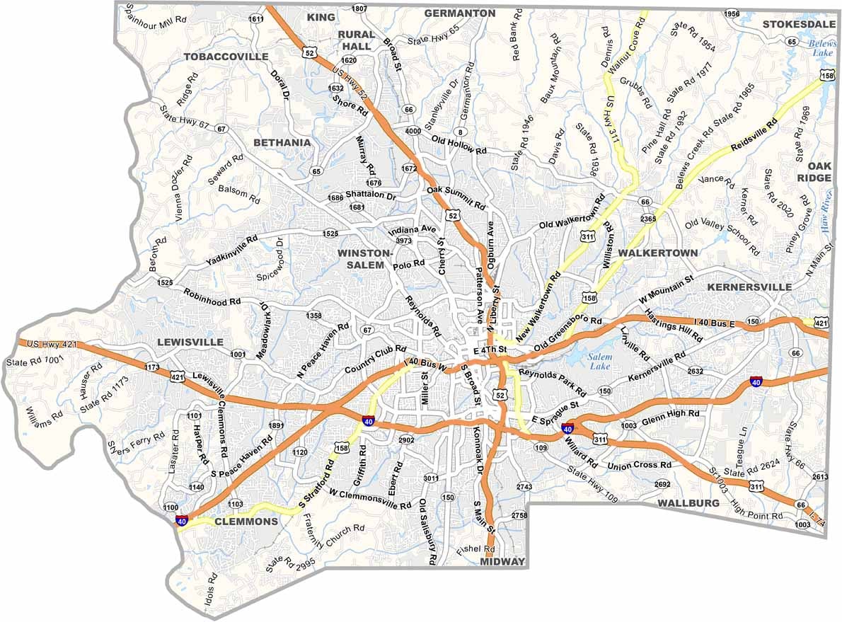
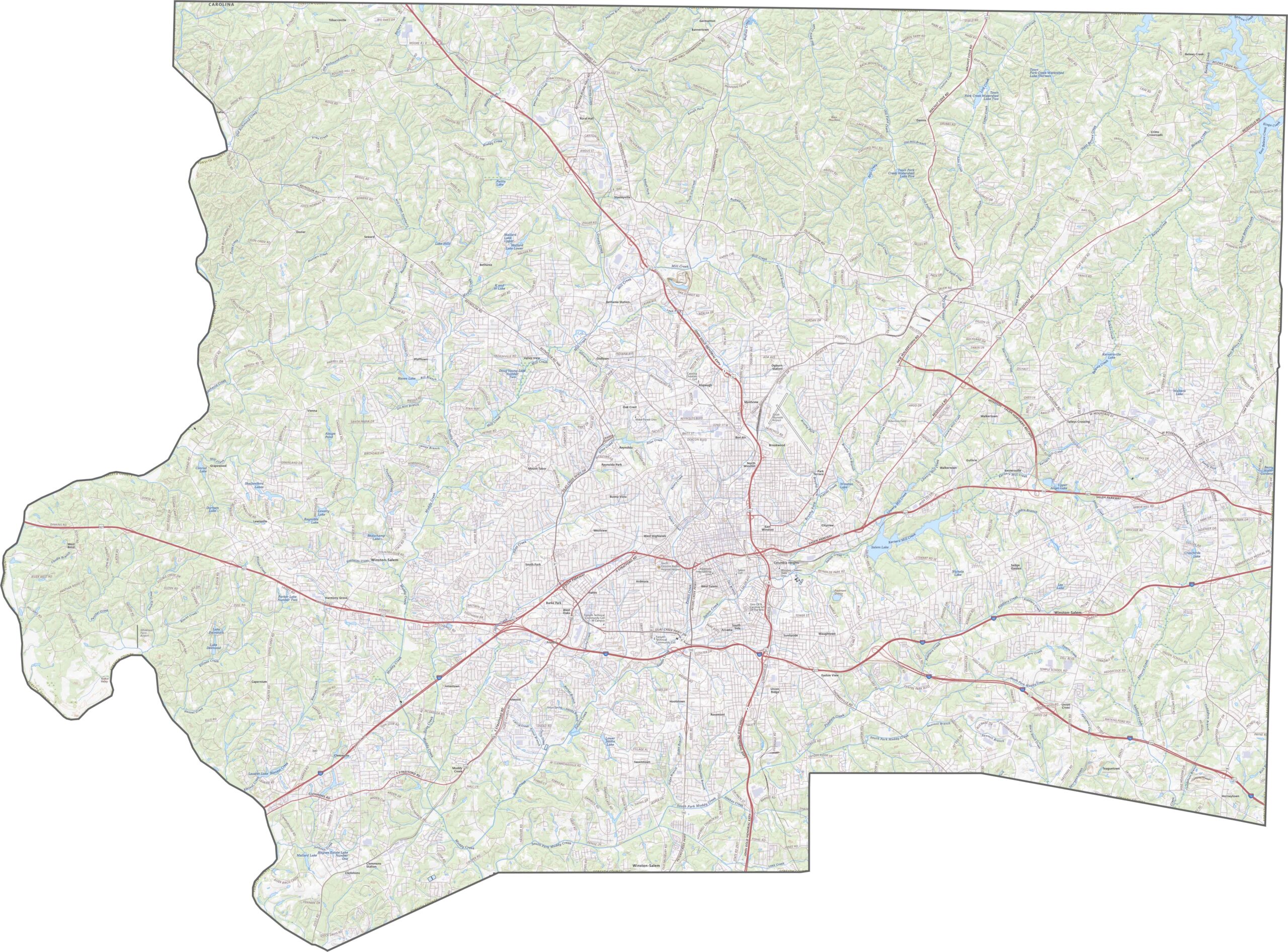
Forsyth County is all about Winston-Salem. Interstate 40 and its business loop both run east to west. Though U.S. Route 52 heads north-south, it feels more like a local expressway. Zoom in on our road map to follow highways and backroads.
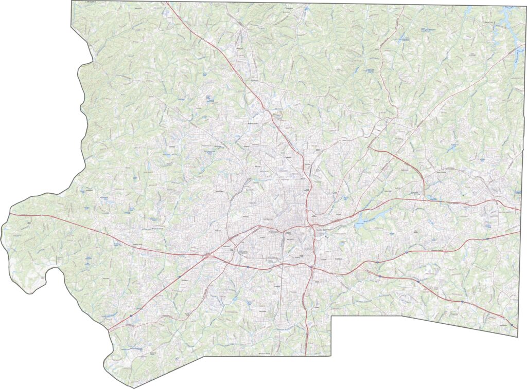
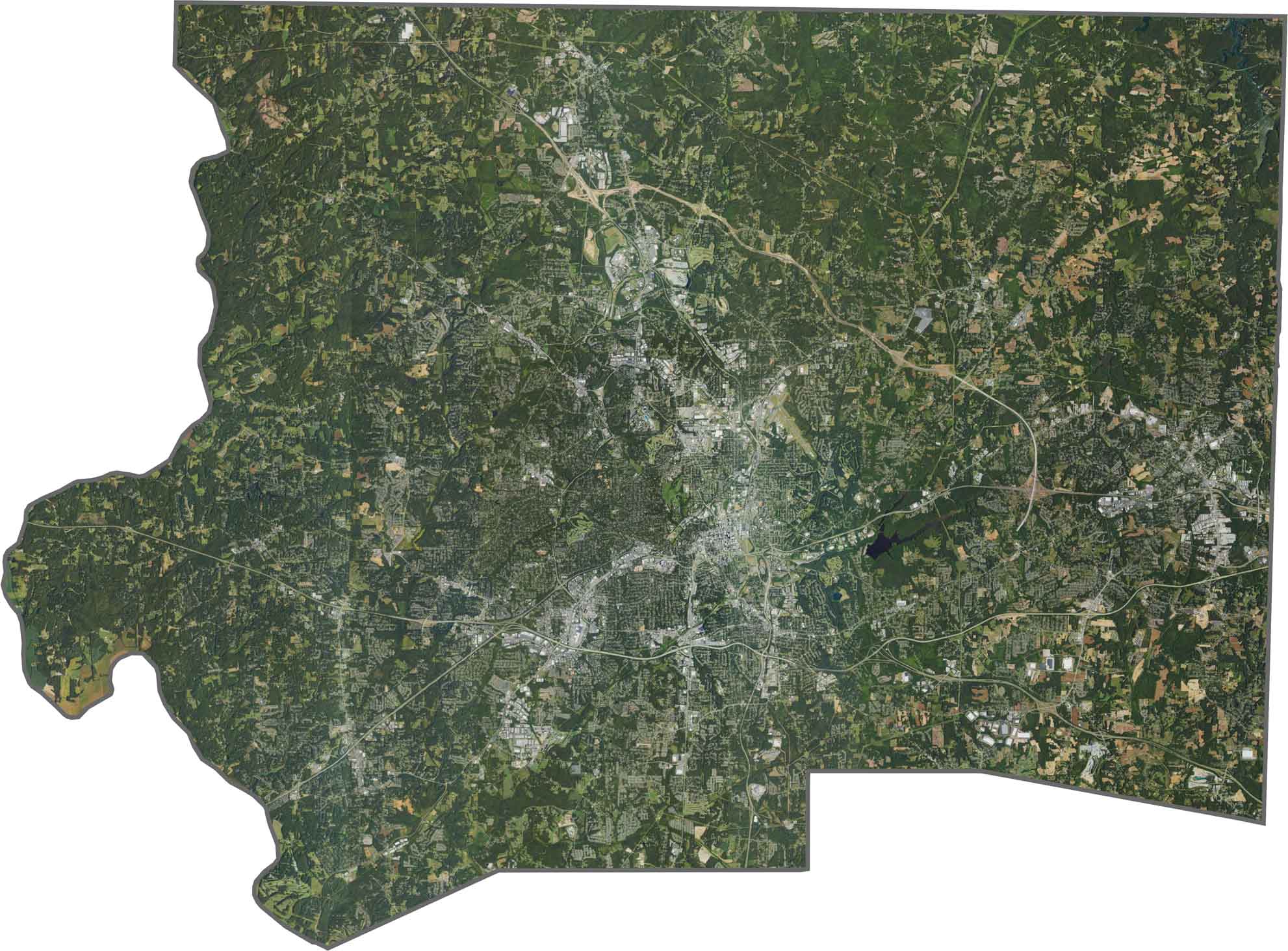
Winston-Salem stretches far and wide, shown in gray and gridded. But between highways, green parks and wooded neighborhoods soften it. In the north and west, trees take over again. Though development sprawls, nature definitely hasn’t vanished.
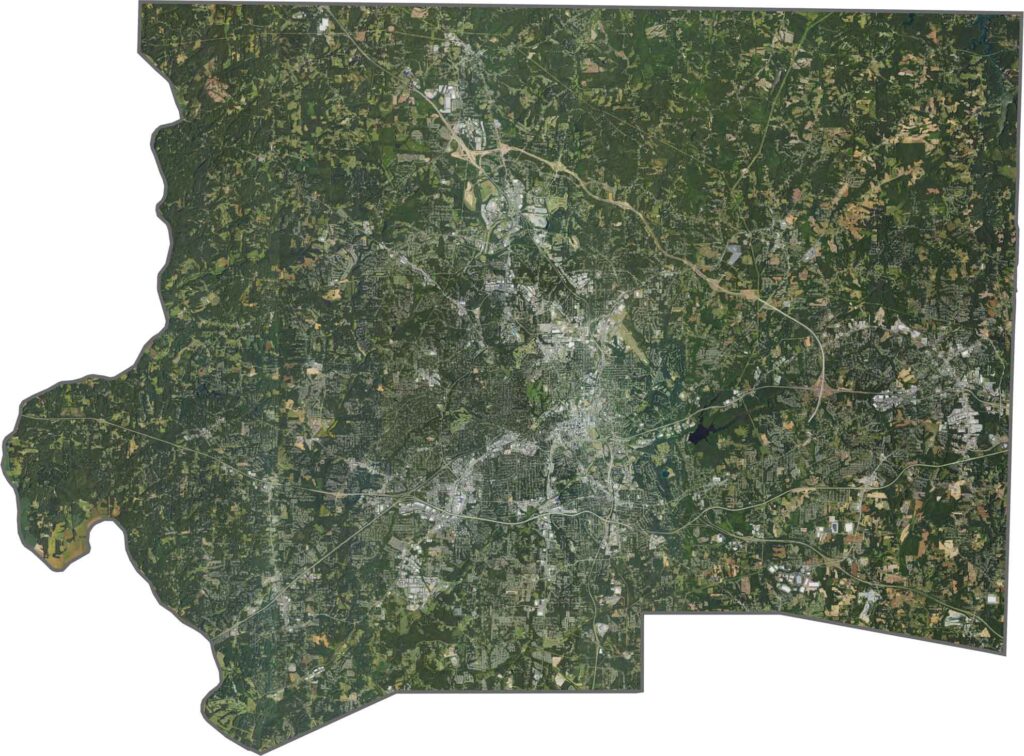
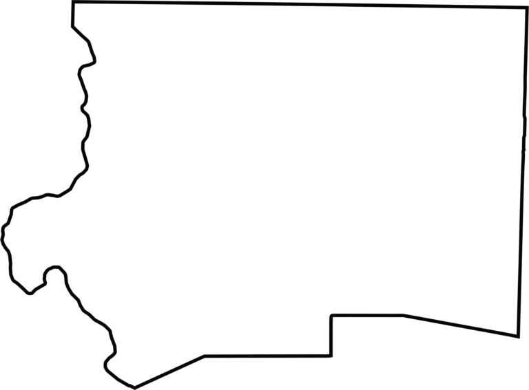
Forsyth County’s shape is squat and broad, with a bulge in the middle. The Yadkin River defines its western edges. The outline looks ordinary, but what’s inside is anything but.








North Carolina’s 100 counties each have their own personality. Some embrace beach life, while others are known for barbecue or bluegrass. Sometimes, you’ll find all three in one place. Across the state, there are waterfalls, farmland, and NASCAR.