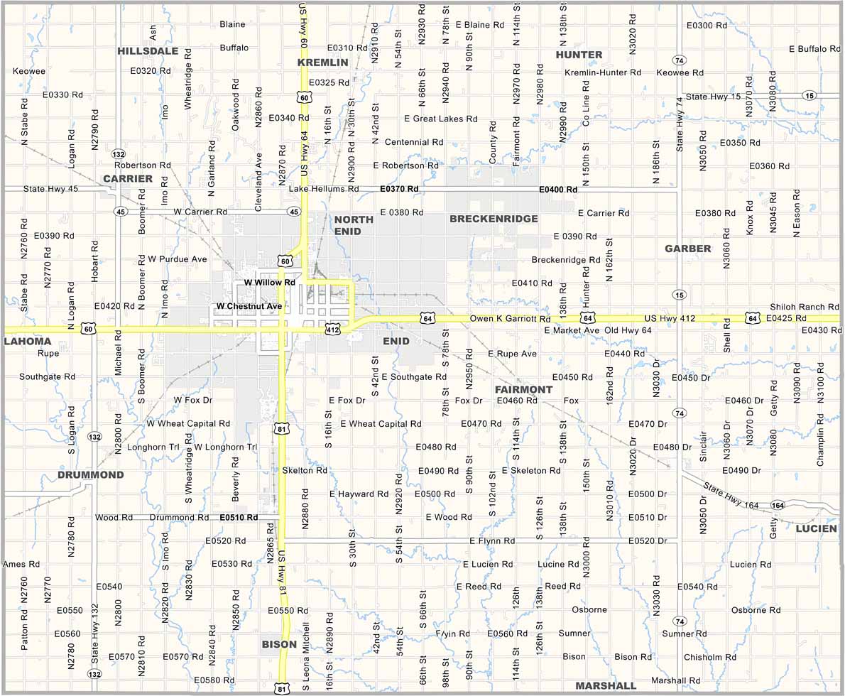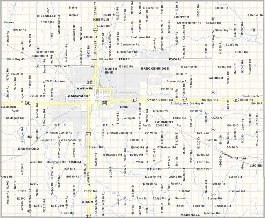
Garfield County Map, Oklahoma

Garfield County, Oklahoma

Garfield County is located in north-central Oklahoma. Enid serves as the county seat and is the heartbeat of the area, offering small-town charm with big-city amenities.

The people here are friendly and hardworking. Agriculture is a major part of life, with all the usual crops grown across the county. The area also has a rich history, from the Cherokee Strip land runs to the oil boom era.

Vance Air Force Base brings a steady stream of new faces to the area. Local festivals and events take place throughout the year, creating a community where tradition meets progress.
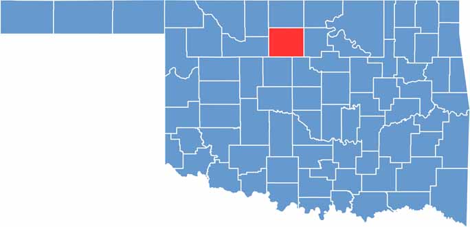

Location map of Garfield County, Oklahoma
CategoryDetails
County NameGarfield County
County SeatEnid
EtymologyNamed after President James A. Garfield
Cities, Towns, and CommunitiesEnid, Waukomis, Lahoma, Kremlin, Covington, Drummond, Fairmont, Garber
Interstates and HighwaysU.S. Highway 60, U.S. Highway 64, U.S. Highway 412, State Highway 45
FIPS Code40-047
Total Area (Land and Water)1,060 square miles (1,058 sq mi land, 2 sq mi water)
Adjacent Counties (and Direction)Grant County (North), Noble County (East), Logan County (Southeast), Kingfisher County (South), Major County (West), Alfalfa County (Northwest)
Time ZoneCentral Time Zone (CST)
StateOklahoma
Coordinates36°23’N, 97°48’W
Major LandmarksLeonardo’s Children’s Museum, Cherokee Strip Regional Heritage Center, Meadowlake Park
PopulationApproximately 60,000
Scroll to Top