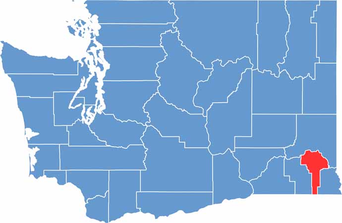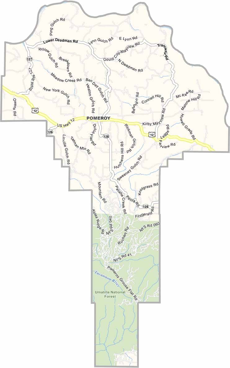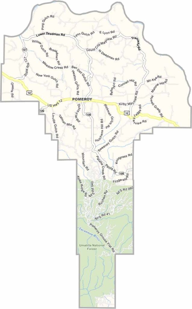
Garfield County sits in the southeastern corner of Washington and is the state’s least populous county. Despite its small population, the county is rich in natural beauty, with wide-open landscapes and rolling hills stretching across the region.
Wheat fields cover much of the countryside, giving the area a peaceful and picturesque rural character. Outdoor activities are also popular, with plenty of opportunities for hunting, fishing, hiking, and exploring the surrounding scenery.
Pomeroy is the county’s only incorporated city and serves as the county seat. The Snake River forms part of the northern boundary and is a popular destination for steelhead fishing. Life here is quiet and close-knit, with a strong community spirit where neighbors know and look out for one another.