
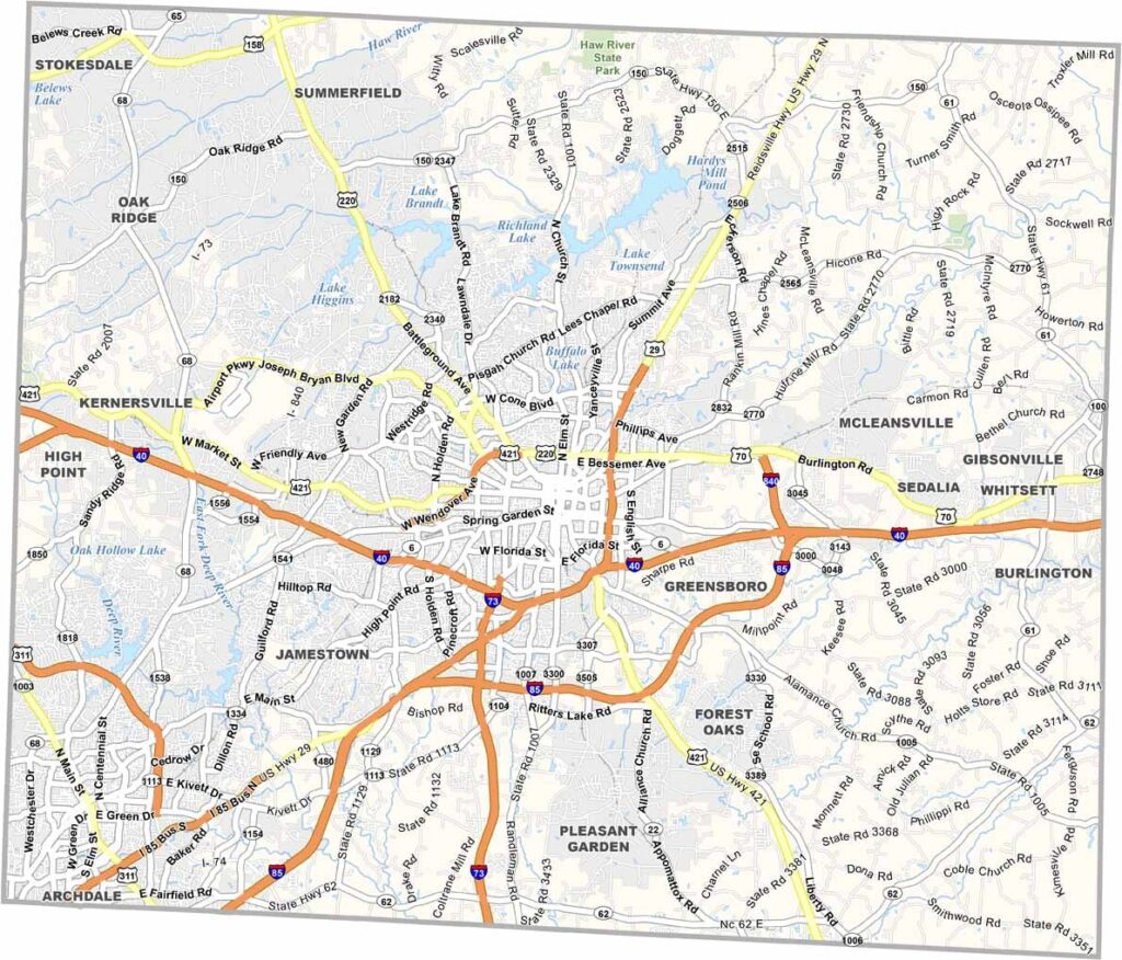
Guilford County encompasses the entire city of Greensboro and the surrounding rural area. This is the home of the Piedmont Triad region of North Carolina.
Greensboro, the county seat, buzzes with energy. You can visit the International Civil Rights Center & Museum, located in the old Woolworth’s building where the sit-in movement began. High Point is the other major city here, known as the “Furniture Capital of the World.”
The county has a rich civil rights legacy. Nature lovers will enjoy the county’s parks and trails, and the area is also known for its universities. There’s plenty to do here, from shopping to dining. You’ll find it all in Guilford County.
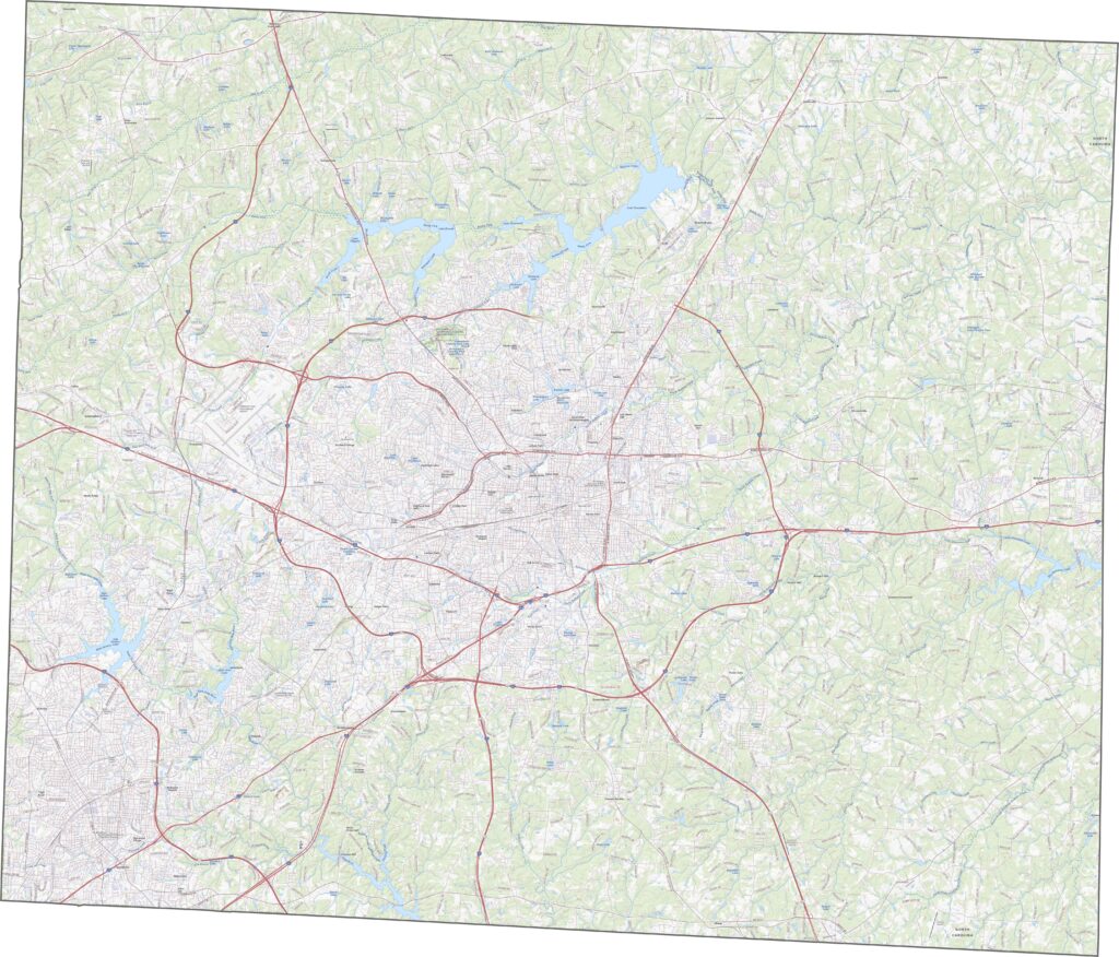
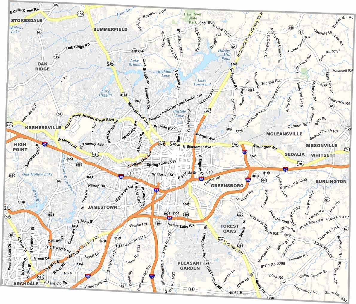
Guilford County has highways in every direction. Interstate 40 and Interstate 85 merge and split here, running east to west and south to east. Interstate 73 and Interstate 840 form bypasses around Greensboro. Despite all this pavement, traffic still builds during rush hour. To see it all, use our road map’s zoom feature below.
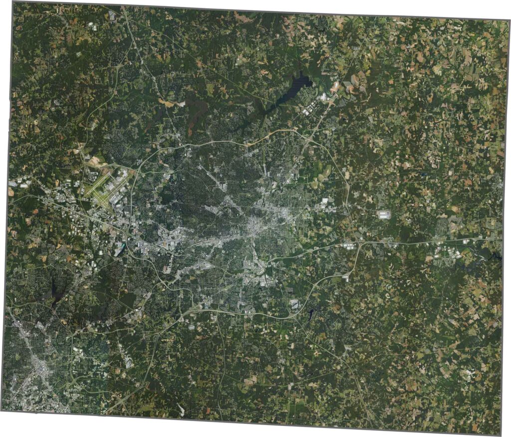
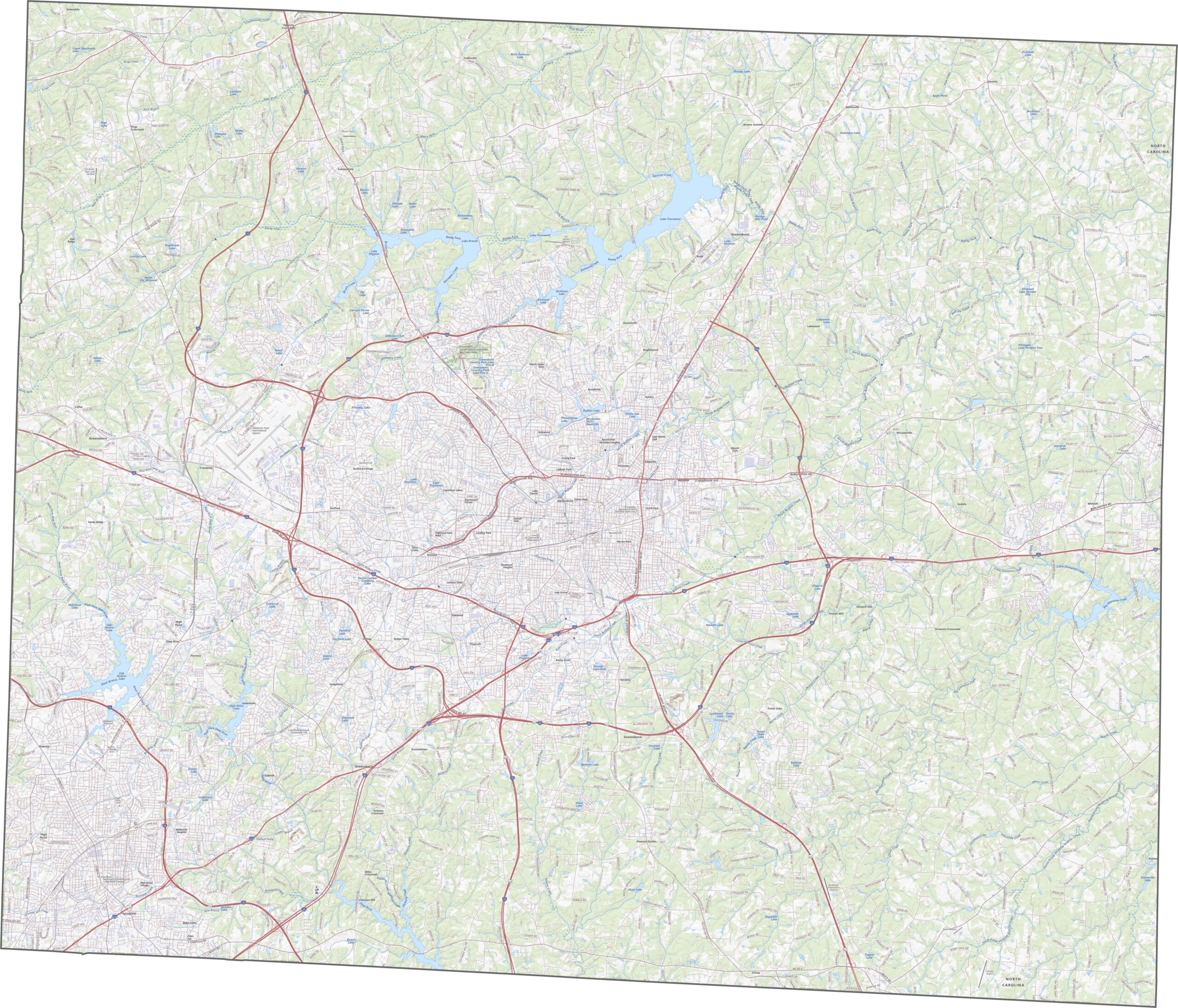
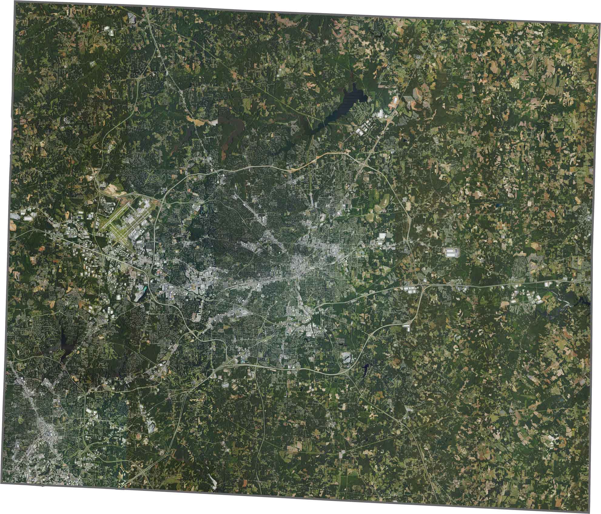
Greensboro dominates the center, big and gray with neat grids. Though the city sprawls, green still gets its space. Streams and small hills pop up near the county’s edges.
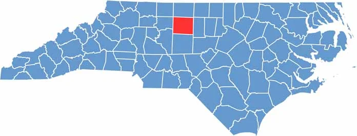
Guilford County has a bulky shape, almost like a lopsided rectangle. It doesn’t touch another state or follow any major rivers. But it borders six North Carolina counties, making it a central piece of the Piedmont puzzle.









North Carolina’s 100 counties each have their own personality. Some embrace beach life, while others are known for barbecue or bluegrass. Sometimes, you’ll find all three in one place. Across the state, there are waterfalls, farmland, and NASCAR.