
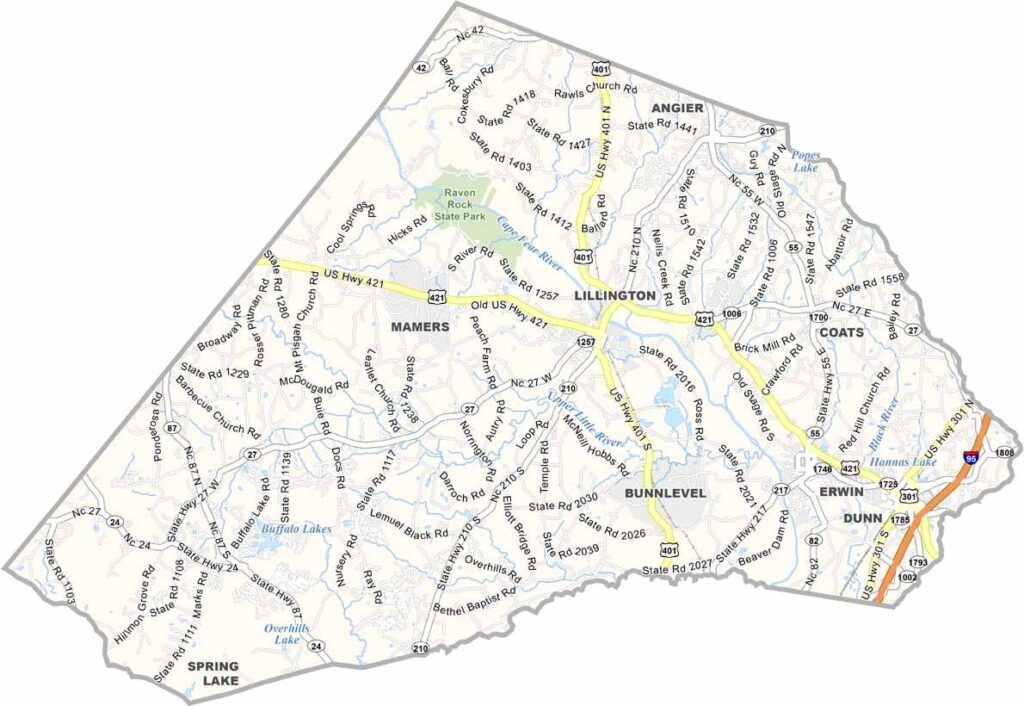
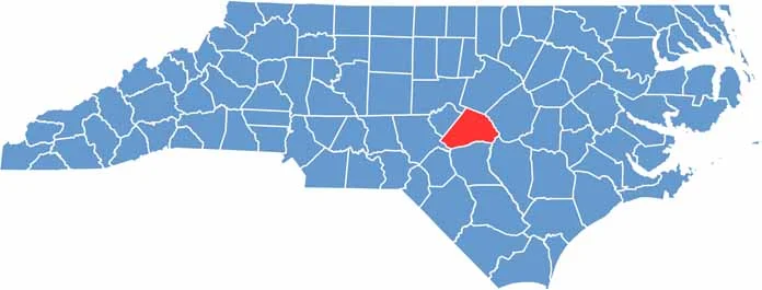
Harnett County is in central North Carolina, set between the Coastal Plain and Piedmont regions, with a mix of flatlands and rolling hills.
It’s definitely a place of contrast, where rural farmland meets growing suburban areas. The Cape Fear River runs through it and has shaped the county’s history and economy.
Lillington, the county seat, is situated near Raven Rock State Park. Visitors will love the park’s hiking trails and river views. Campbell University calls Harnett County home, and the county has strong military ties, with Fort Bragg just next door.
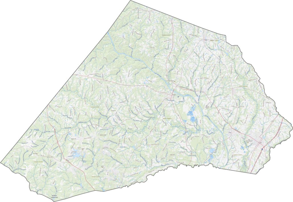
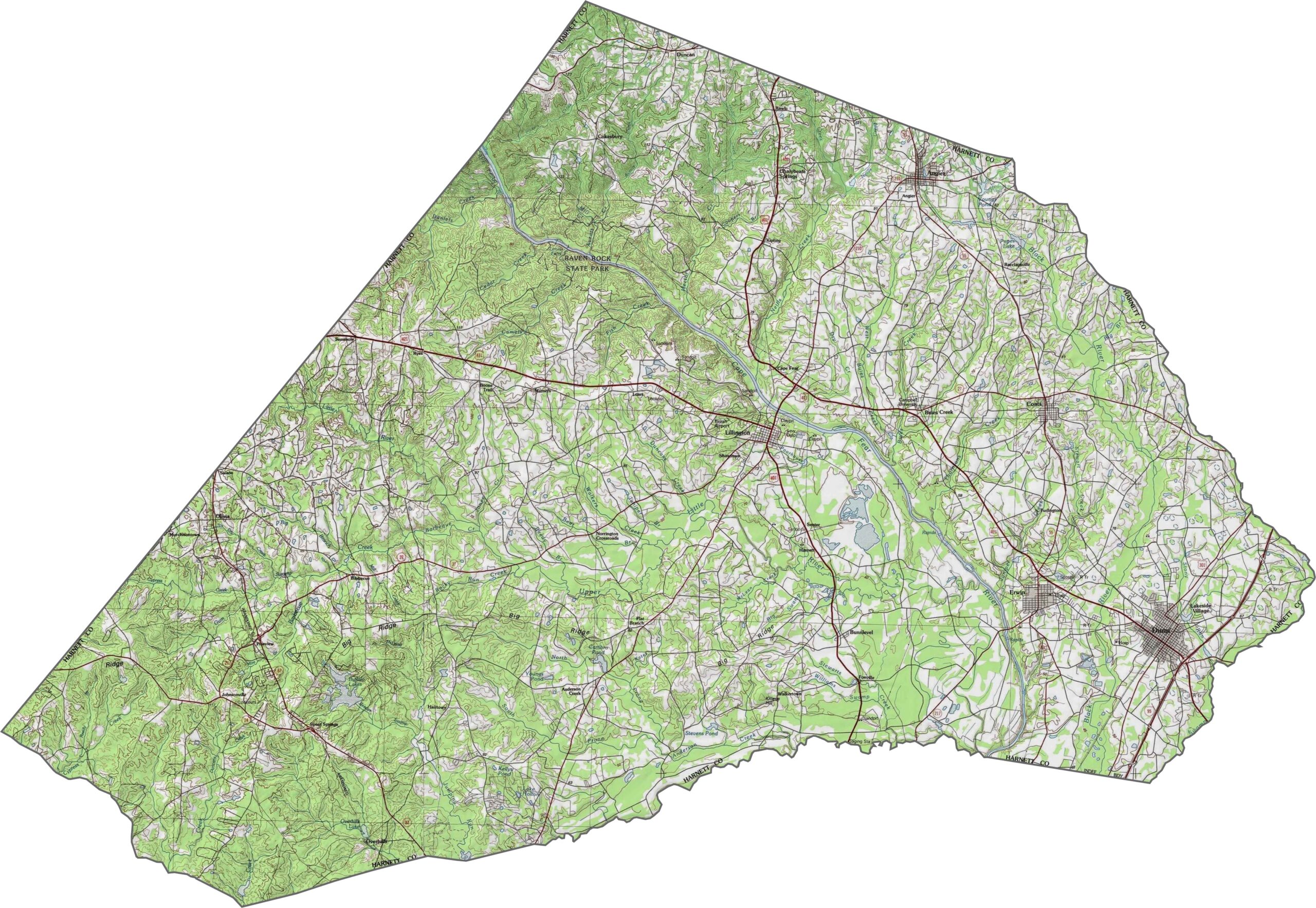
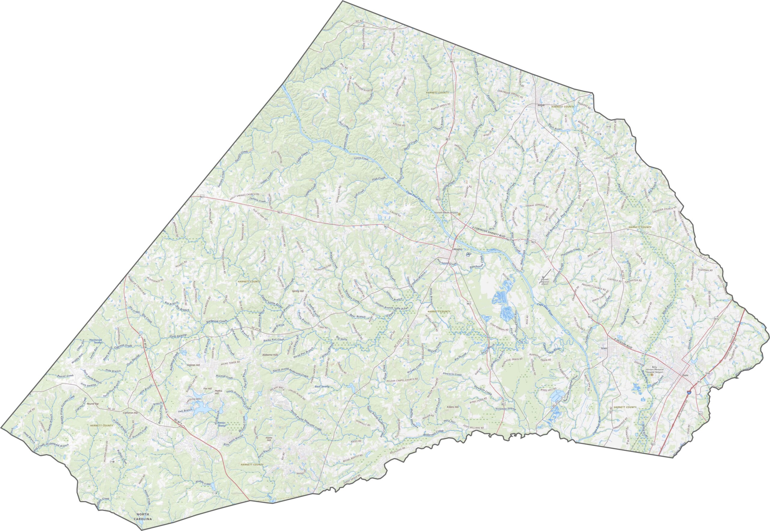
Harnett County is a mix of flat and hilly terrain. The Cape Fear River slices through diagonally, creating valleys. Elsewhere, the ground rises and falls gently. Zoom in on our map to see how elevation ties the county together.
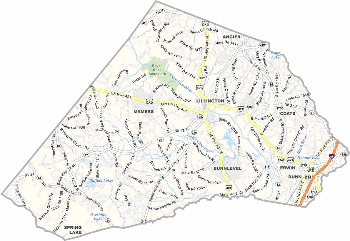
Harnett County isn’t overloaded with highways, but it has what it needs. U.S. Route 421 crosses the middle, linking Mamers to Dunn. NC 210 and NC 27 cut diagonally through smaller towns. Roads here aren’t fancy, but they work.
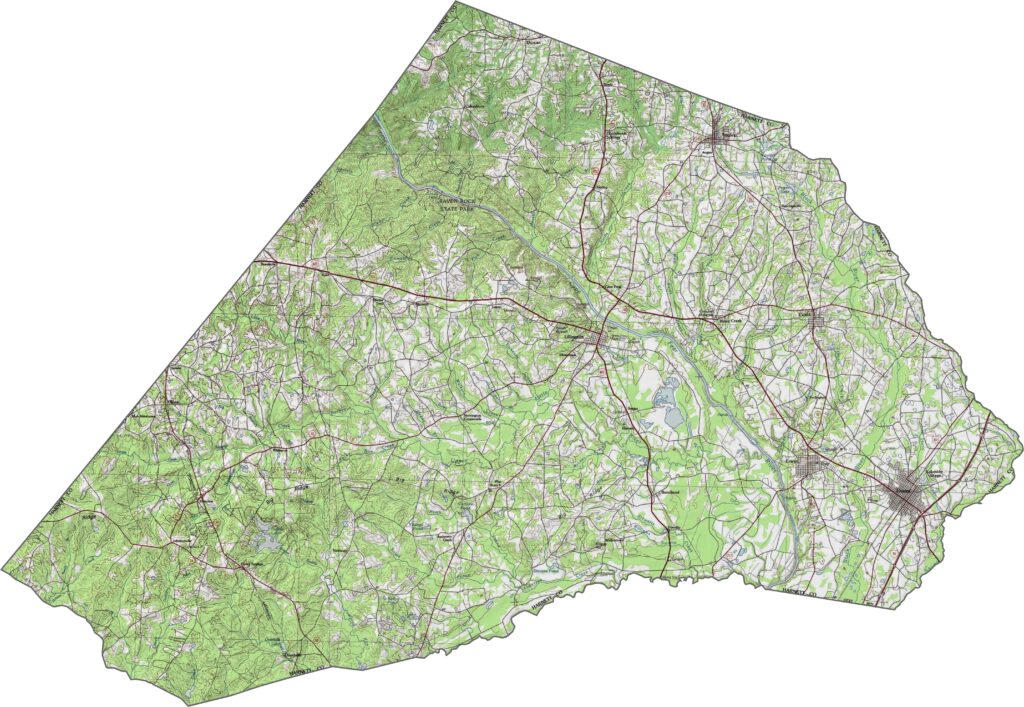
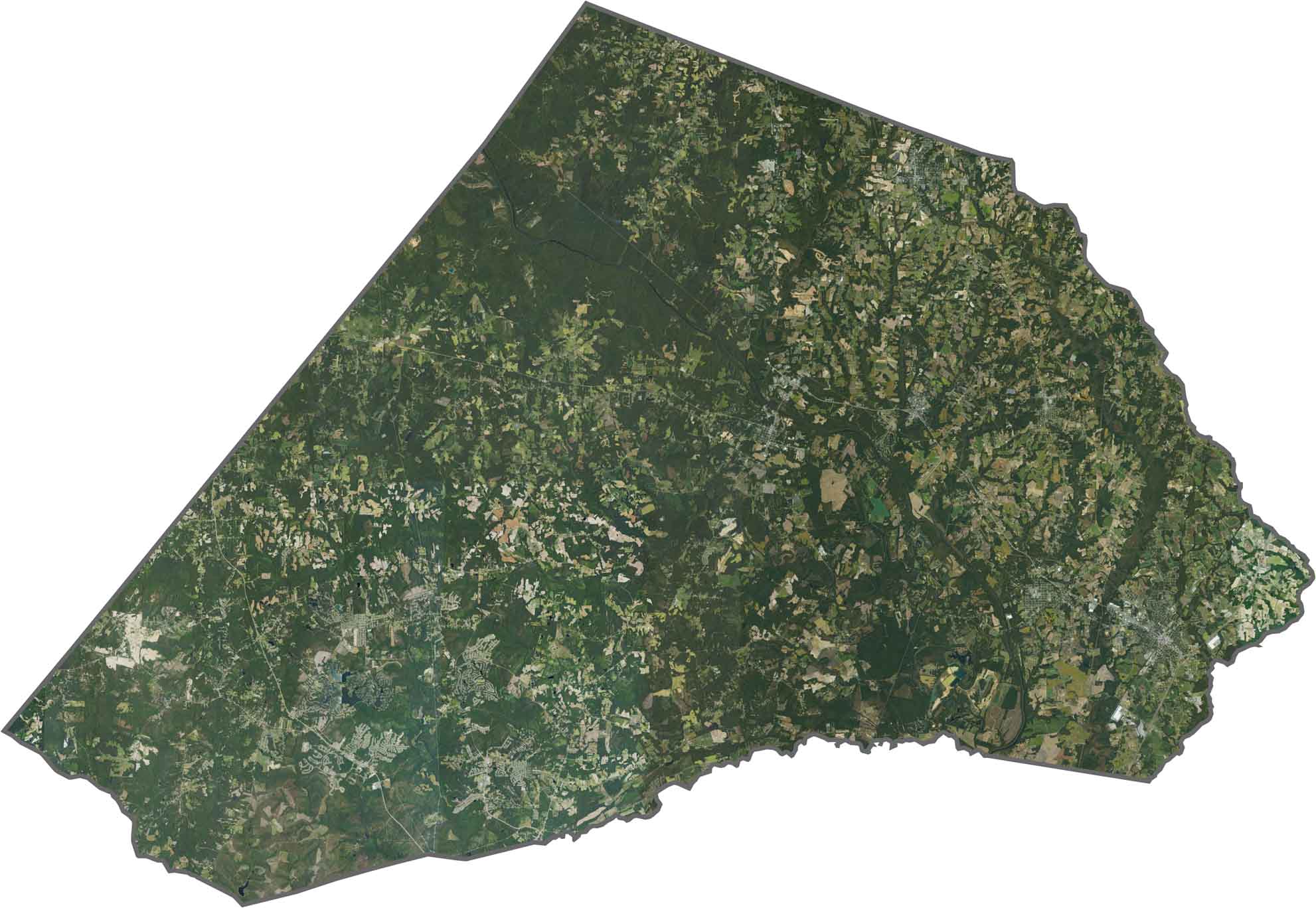
Much of Harnett County is green. Forests cover large patches, especially near the river. Towns like Lillington show up as small gray clusters. Though farmland is scattered throughout, it shares space with woods and wetlands.
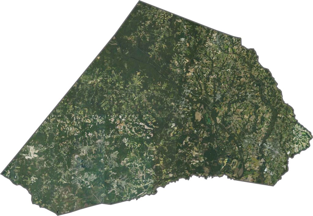
Harnett County’s outline is tilted and stretched. The Mingo Swamp stretches along the eastern side. There are no state lines here.








North Carolina’s 100 counties each have their own personality. Some embrace beach life, while others are known for barbecue or bluegrass. Sometimes, you’ll find all three in one place. Across the state, there are waterfalls, farmland, and NASCAR.