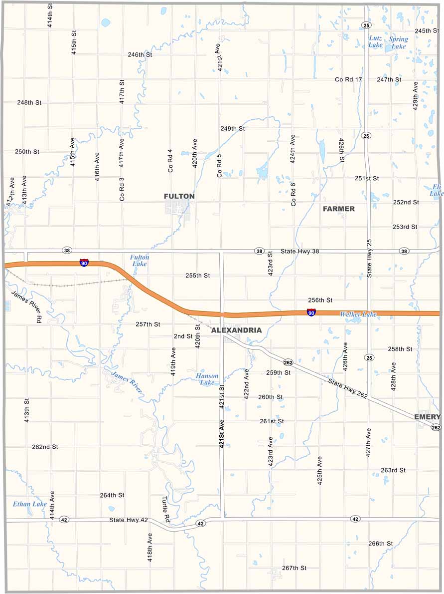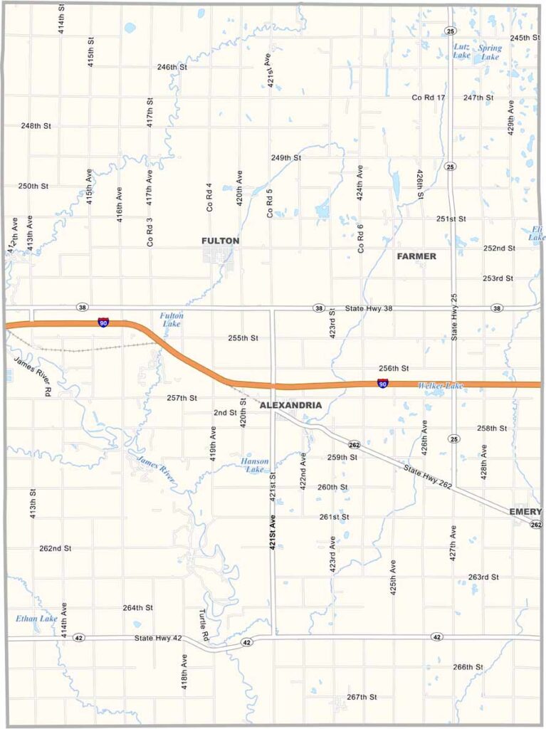
Hanson County Map, South Dakota

Hanson County, South Dakota

Hanson County sits in southeastern South Dakota. It may be small, but it’s got plenty of heart. Alexandria, the county seat, is home to a historic opera house built in 1918.

Farming is king here, with corn and soybeans among the common crops. Fishing is also popular, especially at Hanson Lake and the James River.

The county is named after Joseph Hanson, an early legislator. You’ll also find some of the friendliest folks around these parts.
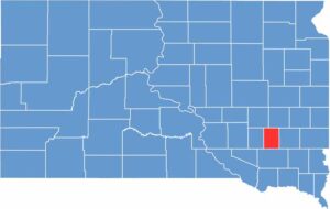

Hanson County location map of South Dakota
CategoryDetails
County NameHanson County
County SeatAlexandria
EtymologyNamed after Joseph R. Hanson, a Dakota Territory legislator
Cities, Towns, and CommunitiesAlexandria, Emery, Farmer
Interstates and HighwaysInterstate 90, State Highway 42
FIPS Code46-061
Total Area (Land and Water)435 square miles (434 sq mi land, 1 sq mi water)
Adjacent Counties (and Direction)Miner County (North), McCook County (East), Hutchinson County (South), Davison County (West), Sanborn County (Northwest)
Time ZoneCentral Time Zone (CST)
StateSouth Dakota
Coordinates43°40’N, 97°45’W
Major LandmarksHanson County Courthouse, Lake Hanson, Alexander Mitchell Monument
PopulationApproximately 3,500
Scroll to Top