Harrison County, Iowa

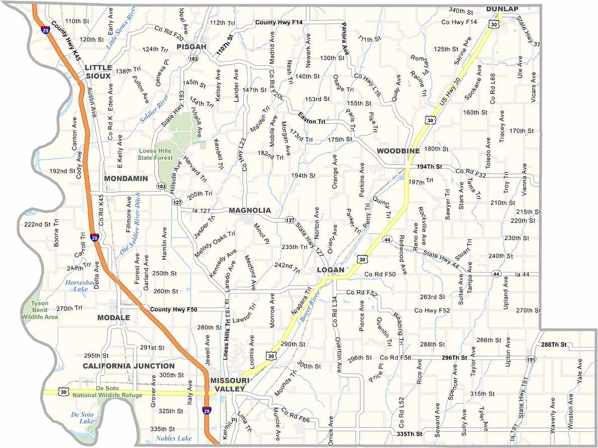
Harrison County is located in western Iowa and is known for the scenic Loess Hills and the Missouri River. It also borders Nebraska to the west.

Logan, the county seat, is a small town with a strong sense of community. Set within the picturesque Loess Hills, it serves as a hub for local government.

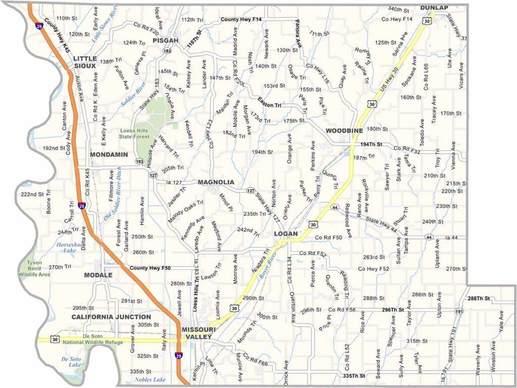
Harrison County is accessible via U.S. Highway 30 and Interstate 29. DeSoto National Wildlife Refuge attracts birdwatchers and nature lovers, while Loess Hills State Forest sits along the area’s unique geological ridge.
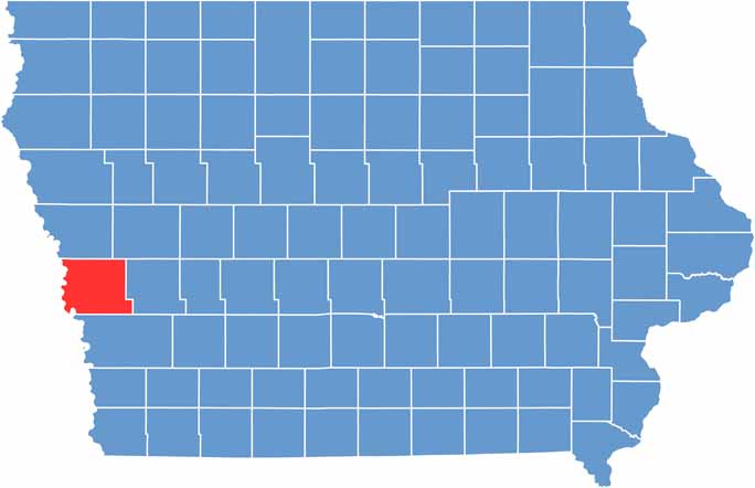

CategoryDetails
County NameHarrison County
County SeatLogan
EtymologyNamed after former US President William Henry Harrison
Cities, Towns, and CommunitiesLogan, Missouri Valley, Dunlap, Woodbine, Bartlett, Harrison County, Magnolia
Interstates and HighwaysU.S. Highway 30, Iowa Highway 127, Iowa Highway 191
FIPS Code19-085
Total Area (Land and Water)715 square miles (land: 707 sq mi, water: 8 sq mi)
Adjacent Counties (and Direction)Monona County (North), Crawford County (Northeast), Shelby County (East), Pottawattamie County (South), Washington County, Nebraska (Southwest), Burt County, Nebraska (Northwest)
Time ZoneCentral Time Zone (CST)
Population17,000
StateIowa
Coordinates41.74°N, 95.86°W
Major LandmarksLoess Hills Scenic Byway, DeSoto National Wildlife Refuge, Harrison County Historical Village
Scroll to Top