
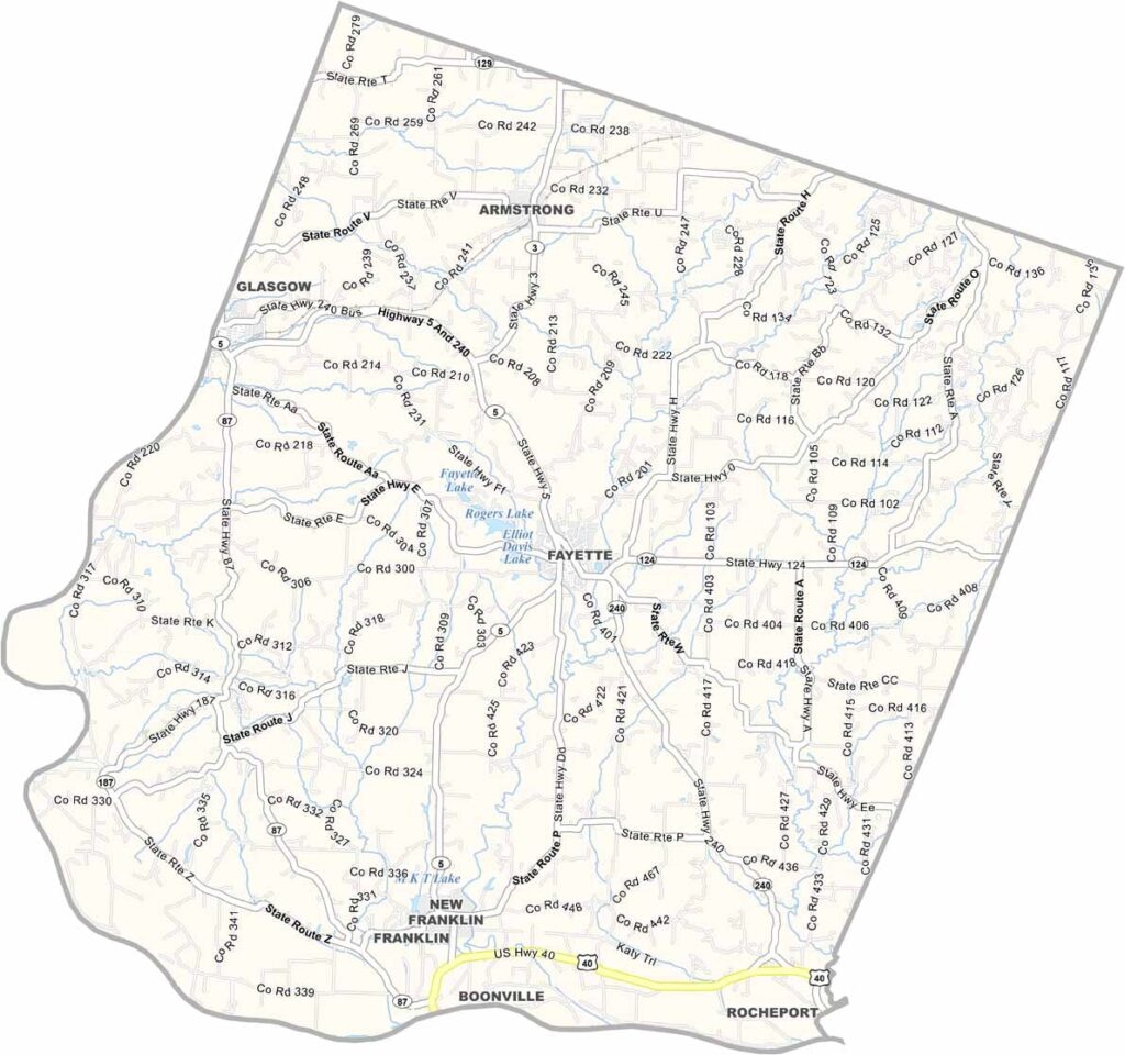
Howard County, Missouri

Howard County is located in central Missouri, with the Missouri River forming its southern boundary. The county is known for its rolling hills, fertile farmland, and rich agricultural heritage.

The county seat, Fayette, lies near the center of the county and is home to Central Methodist University. Nearby Fayette Lake provides recreational opportunities for residents and visitors.

Howard County has a deep historical legacy as part of the Boonslick, one of the earliest areas settled west of the Mississippi River. Remnants of the Santa Fe Trail can still be found in the area. Today, the county blends its historic character—seen in its century-old brick buildings—with modern services and amenities.
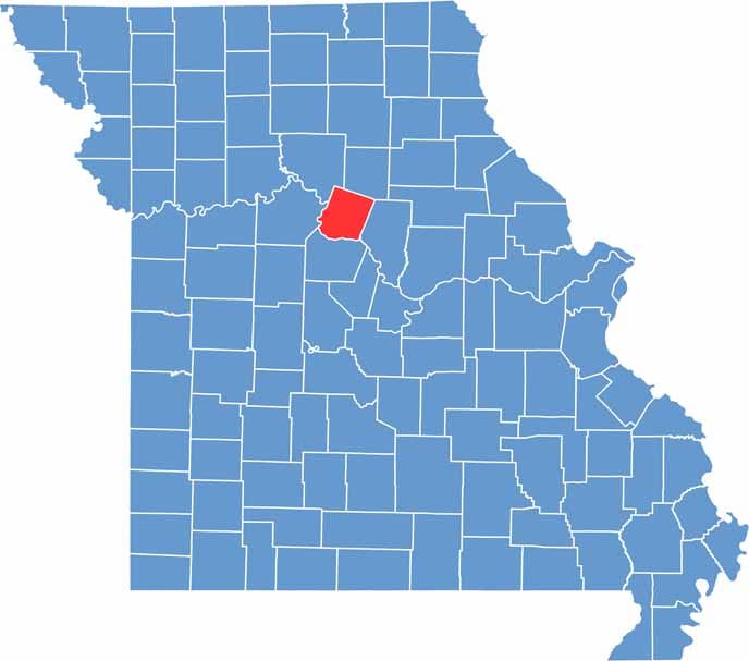

Printable Howard County Missouri location map showing county location and boundaries
Category Details
County Name Howard County
County Seat Fayette
Cities, Towns, and Communities Fayette, Glasgow, Armstrong, New Franklin, Franklin, Rocheport (part)
Interstates and Highways MO 5, MO 87, MO 240
Population Approximately 10,000
FIPS Code 29-089
Total Area (Land and Water) 472 square miles (Land: 466 sq mi, Water: 6 sq mi)
Time Zone Central Time Zone (CT)
State Missouri
Coordinates 39.1452° N, 92.7000° W
Etymology Named after Benjamin Howard, the first Governor of the Missouri Territory
Major Landmarks Katy Trail State Park, Fayette Courthouse Square Historic District, Boonslick State Historic Site
Adjacent Counties (and Direction) Chariton County (Northwest), Randolph County (Northeast), Boone County (Southeast), Cooper County (South), Saline County (West)
Scroll to Top


