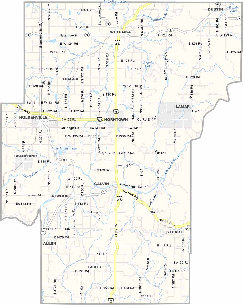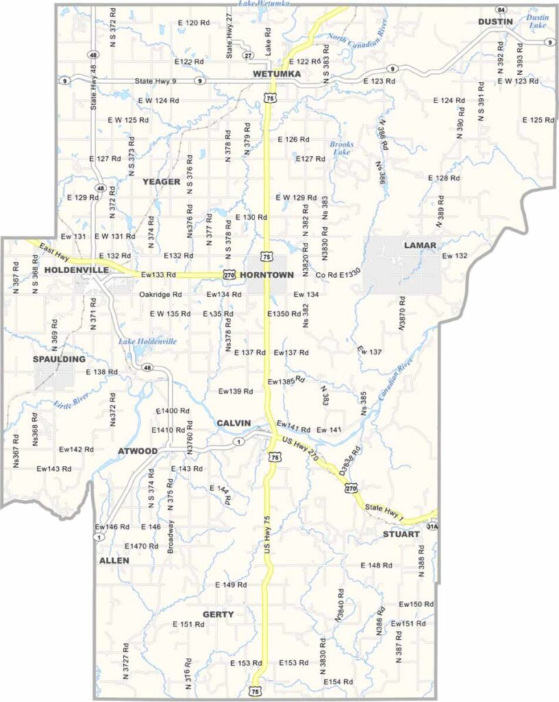
Hughes County Map, Oklahoma

Hughes County, Oklahoma

Hughes County sits right in the heart of Oklahoma. Holdenville serves as the county seat, a town with a story or two to tell. It has lakes, perfect for a weekend getaway.

The county is named after W.C. Hughes, a fella who made his mark on Oklahoma politics back in the day. Community is important in these parts.

Oil has been a big deal here, and you can still see some pump jacks in the fields. There's more to Hughes County than just oil, though. It's not flashy, but it has character, with fishing, boating, and more.
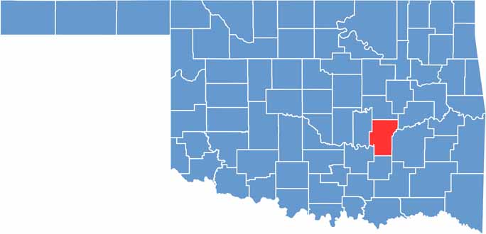

Location map of Hughes County, Oklahoma
CategoryDetails
County NameHughes County
County SeatHoldenville
EtymologyNamed after William C. Hughes
Cities, Towns, and CommunitiesHoldenville, Wetumka, Dustin, Calvin, Atwood
Interstates and HighwaysU.S. Highway 75, U.S. Highway 270, State Highway 9, State Highway 48
FIPS Code40-063
Total Area (Land and Water)815 square miles (805 sq mi land, 10 sq mi water)
Adjacent Counties (and Direction)Okfuskee County (North), McIntosh County (Northeast), Pittsburg County (East), Coal County (South), Pontotoc County (Southwest), Seminole County (West)
Time ZoneCentral Time Zone (CST)
StateOklahoma
Coordinates35°05'N, 96°18'W
Major LandmarksHoldenville Lake, Hughes County Historical Museum, Moss Hill
PopulationApproximately 13,000
Scroll to Top