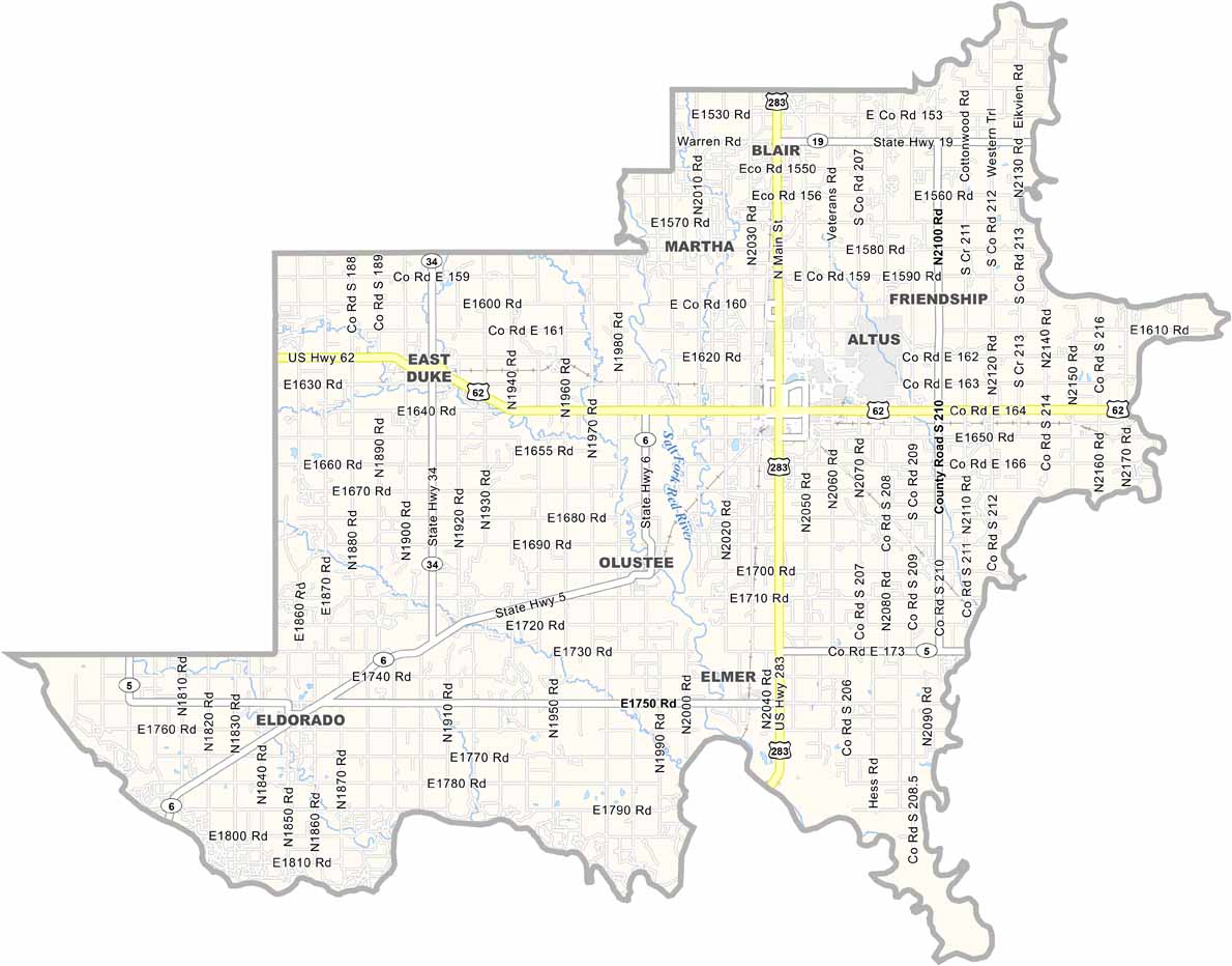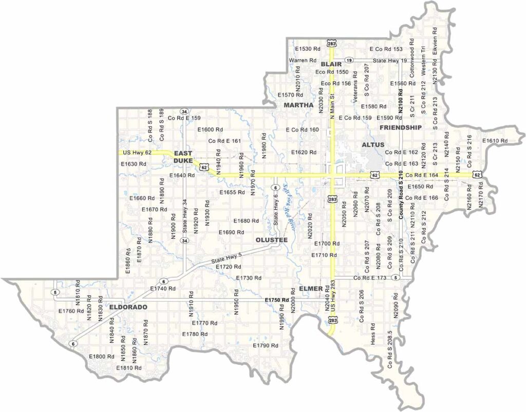
Jackson County Map, Oklahoma

Jackson County, Oklahoma

Jackson County is down in southwestern Oklahoma, where farming is the main industry. Altus is the biggest town and the county seat.

Named after Andrew Jackson, this place has seen its share of history. Cotton fields stretch out for miles, and at harvest time it's like a sea of white.

But there's more than just cotton here. Altus Air Force Base brings in folks from all over and keeps things interesting. The county has its own wine country too, believe it or not.
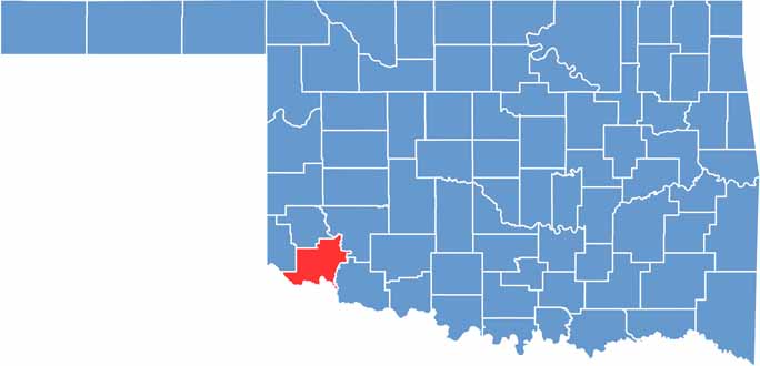

Location map of Jackson County, Oklahoma
CategoryDetails
County NameJackson County
County SeatAltus
EtymologyNamed after President Andrew Jackson
Cities, Towns, and CommunitiesAltus, Blair, Eldorado, Olustee, Martha, Headrick
Interstates and HighwaysU.S. Highway 62, U.S. Highway 283, State Highway 6
FIPS Code40-065
Total Area (Land and Water)804 square miles (803 sq mi land, 1 sq mi water)
Adjacent Counties (and Direction)Greer County (North), Kiowa County (Northeast), Tillman County (East), Wilbarger County, Texas (South), Hardeman County, Texas (Southwest), Harmon County (West)
Time ZoneCentral Time Zone (CST)
StateOklahoma
Coordinates34°38'N, 99°25'W
Major LandmarksQuartz Mountain State Park, Altus City Reservoir, Museum of the Western Prairie
PopulationApproximately 23,000
Scroll to Top