
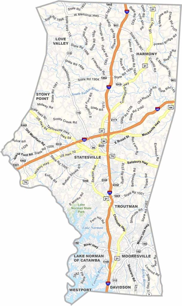
Iredell County stretches from the Piedmont to the foothills of western North Carolina, a place of diversity. Statesville, the county seat, is known for its hot air balloon festival.
Mooresville, to the south, is famous for its NASCAR connections. Lake Norman, the largest man-made lake in the state, forms part of the county's southern border and is a popular spot for boating and fishing.
The county has a strong agricultural heritage, and you'll see plenty of dairy farms here. The area is growing fast, with new businesses and housing developments popping up.
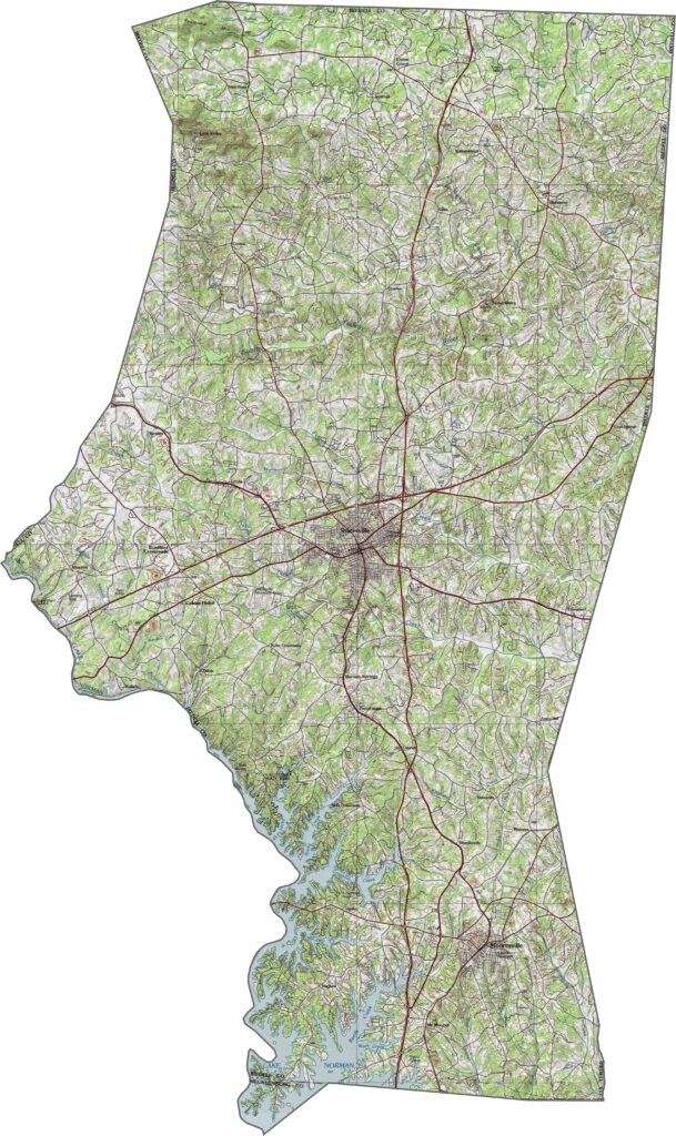
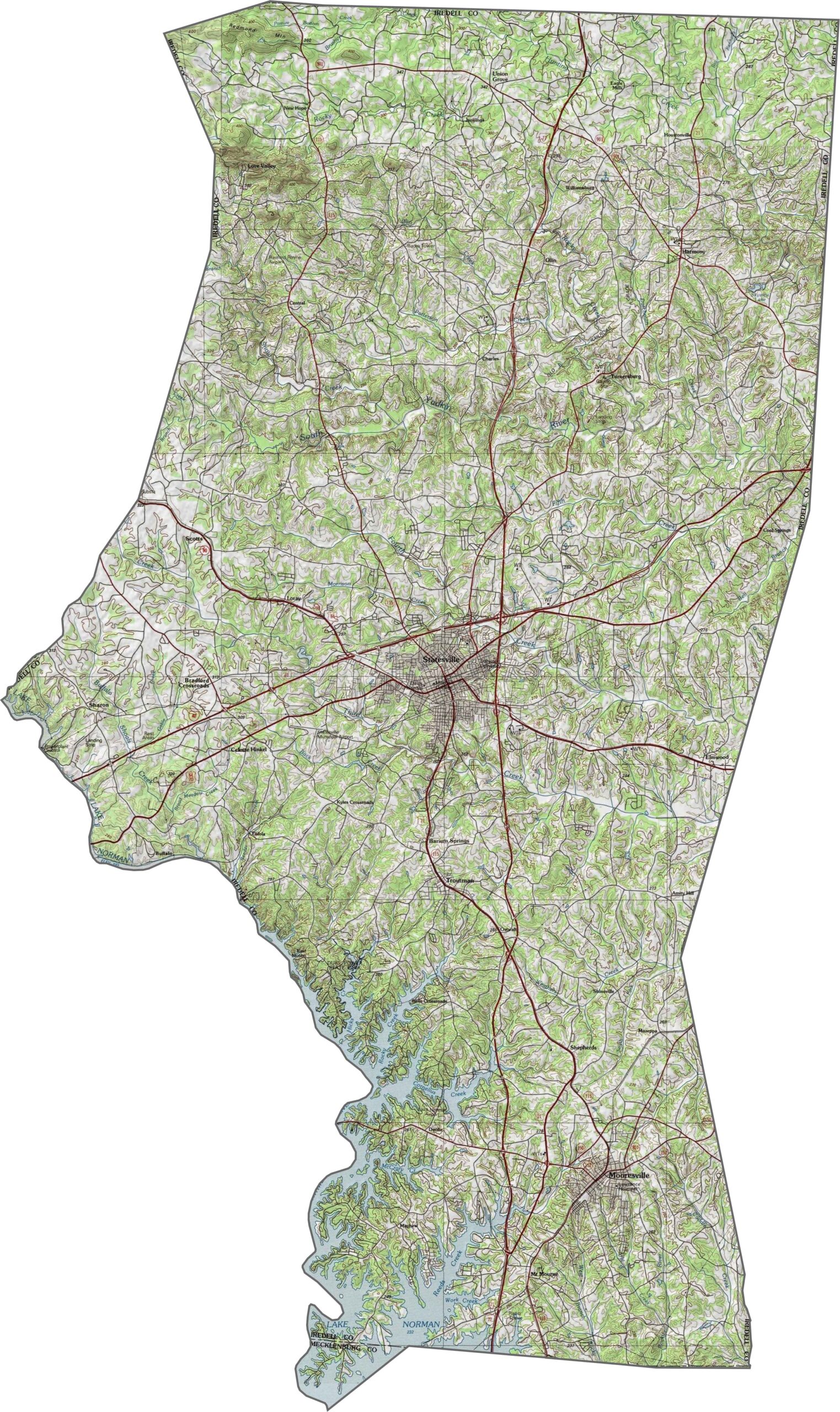
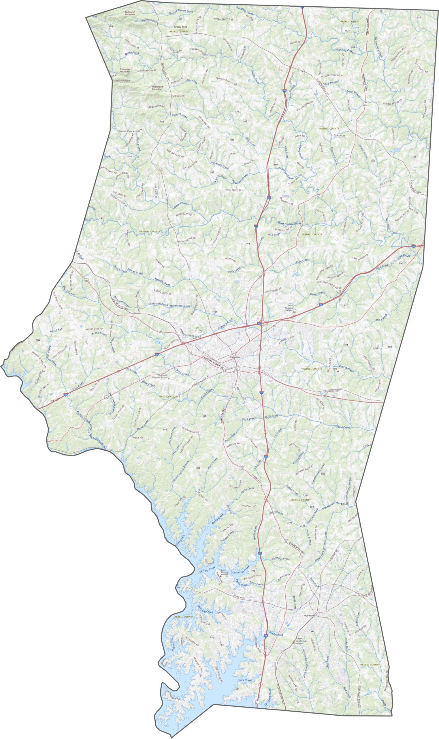
Iredell County starts in the Piedmont and leans toward the foothills. The southern end is smoother, but things get hillier as you head north. Elevation rises subtly but steadily. Our map's zoom tool makes it easier to follow its topography.
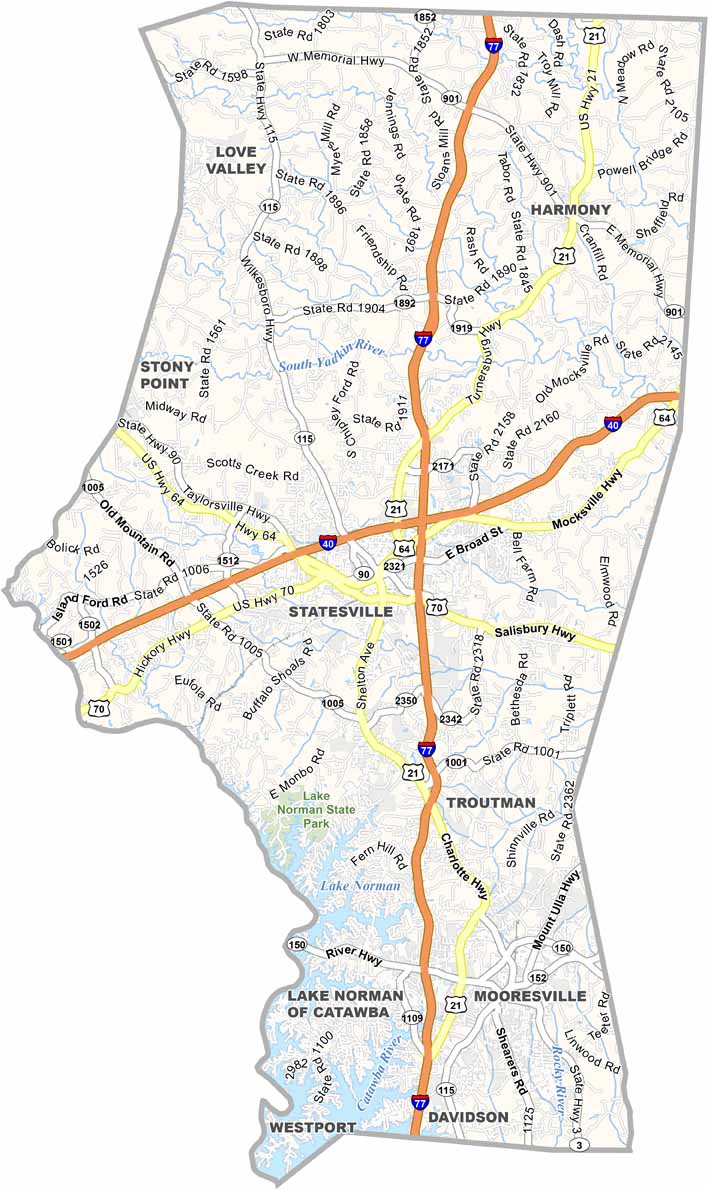
This one's a crossroads, with Lake Norman shaping the highway network. Interstate 77 runs north-south through the middle, while Interstate 40 slices across the top. Statesville sits at the junction, and it's hard to miss. Though the county stretches far north, the southern end near Mooresville gets most of the congestion.
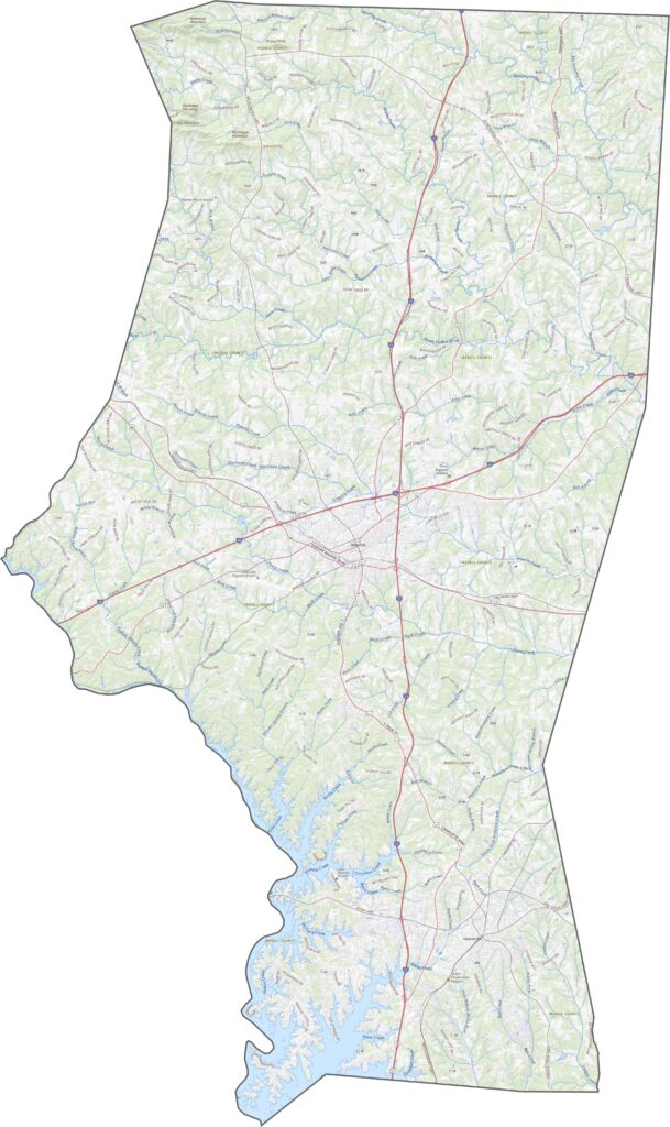
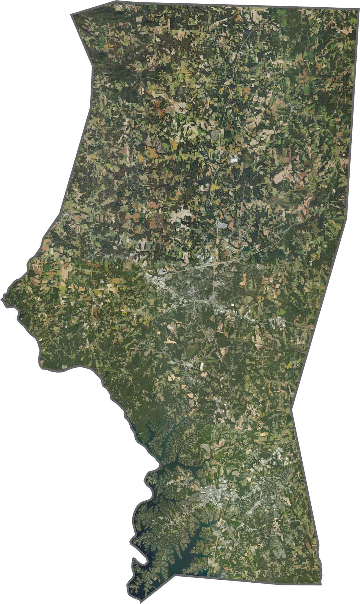
Mooresville and Statesville show up like concrete stamps. But outside the cities, farmland dominates, in checkered patterns of tan and green. Lake Norman cuts deep into the southwest corner, wide and bright. Though development creeps along the lake, forests still edge the shoreline.
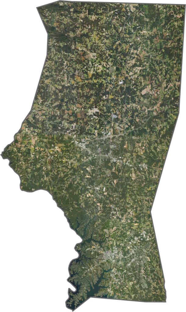
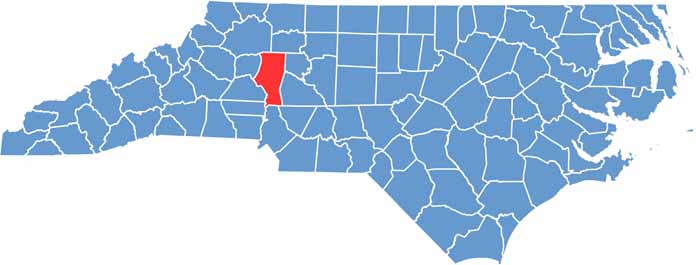
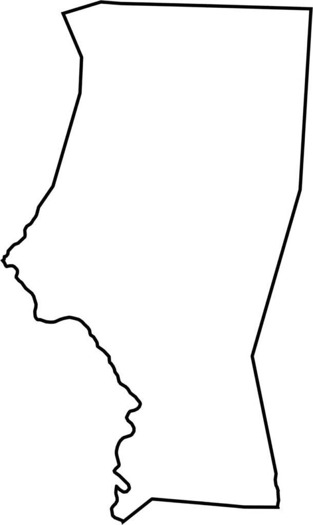
Iredell County's shape stretches tall, almost like a vertical wedge. There are no state borders, but it touches nine other counties. The Catawba River helps form the southwest edge, spilling into Lake Norman. It's a long county with a lot going on from top to bottom.







North Carolina’s 100 counties each have their own personality. Some embrace beach life, while others are known for barbecue or bluegrass. Sometimes, you’ll find all three in one place. Across the state, there are waterfalls, farmland, and NASCAR.