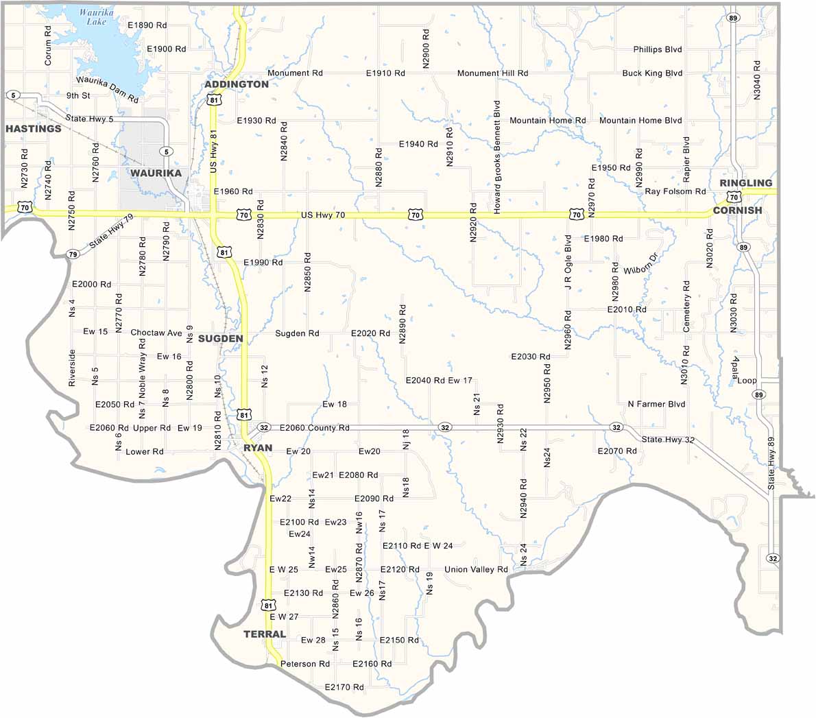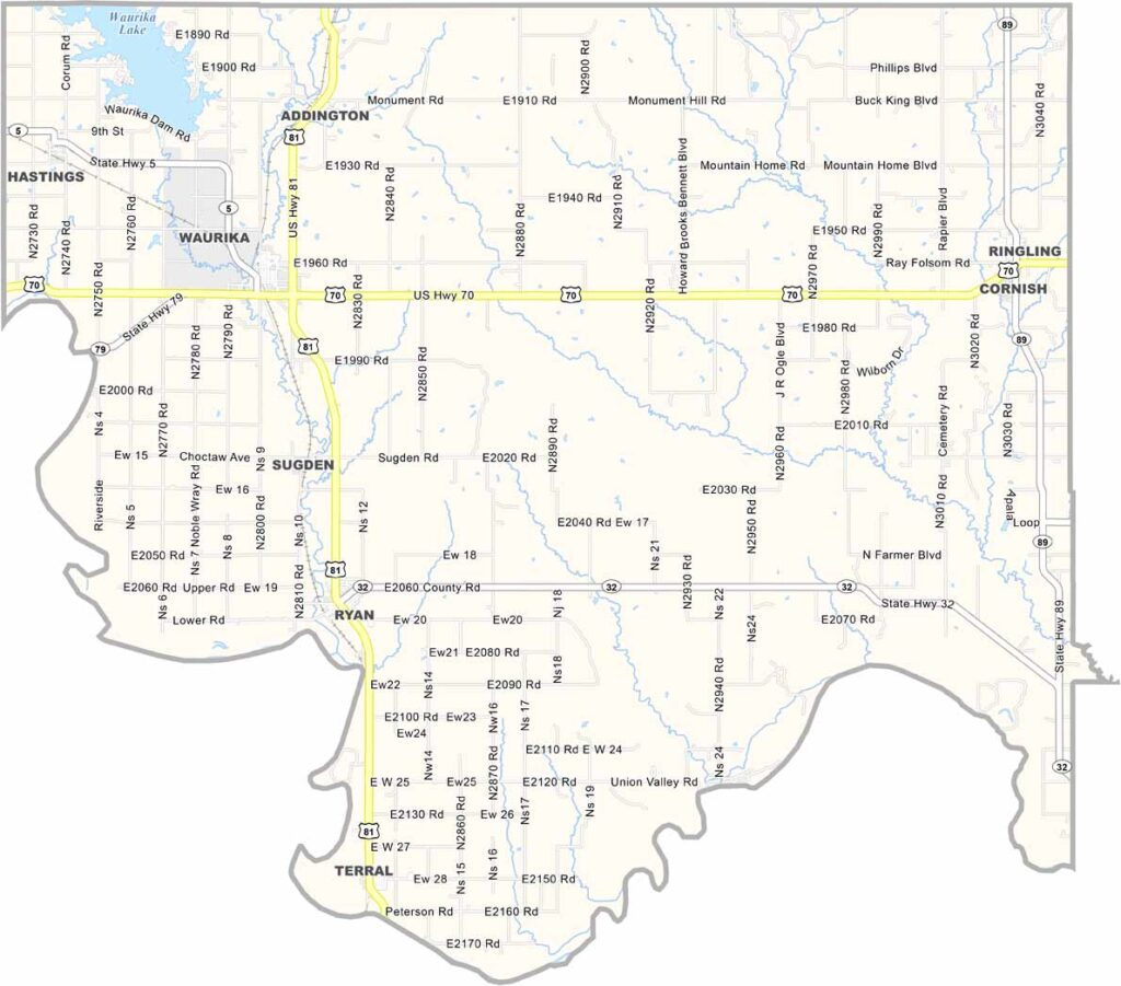
Jefferson County Map, Oklahoma

Jefferson County, Oklahoma

Jefferson County is a little spot in southern Oklahoma you might just fall in love with. Waurika, the county seat, is a small town with a big heart.

The county is named after Thomas Jefferson, if you're wondering. Cattle ranching is big business here, and you'll see more cows than people most days.

The Red River forms the southern border and is a lifeline for the whole area. This place has seen some characters pass through. It's a glimpse into Oklahoma's agricultural heartland.
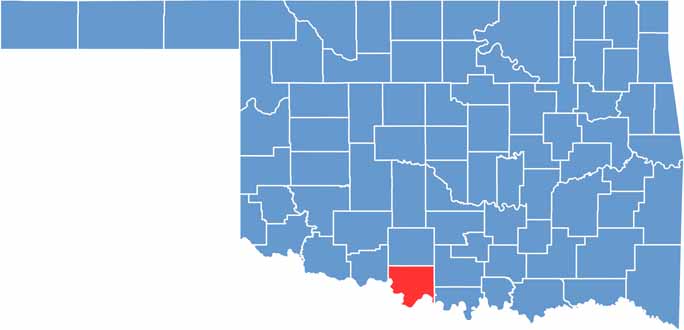

Location map of Jefferson County, Oklahoma
CategoryDetails
County NameJefferson County
County SeatWaurika
EtymologyNamed after President Thomas Jefferson
Cities, Towns, and CommunitiesWaurika, Ryan, Ringling, Terral, Addington
Interstates and HighwaysU.S. Highway 81, U.S. Highway 70, State Highway 5
FIPS Code40-067
Total Area (Land and Water)774 square miles (768 sq mi land, 6 sq mi water)
Adjacent Counties (and Direction)Stephens County (North), Carter County (Northeast), Love County (East), Montague County, Texas (South), Clay County, Texas (Southwest), Cotton County (West)
Time ZoneCentral Time Zone (CST)
StateOklahoma
Coordinates34°11'N, 97°52'W
Major LandmarksWaurika Lake, Jefferson County Courthouse, Rock Island Railroad Depot Museum
PopulationApproximately 5,500
Scroll to Top