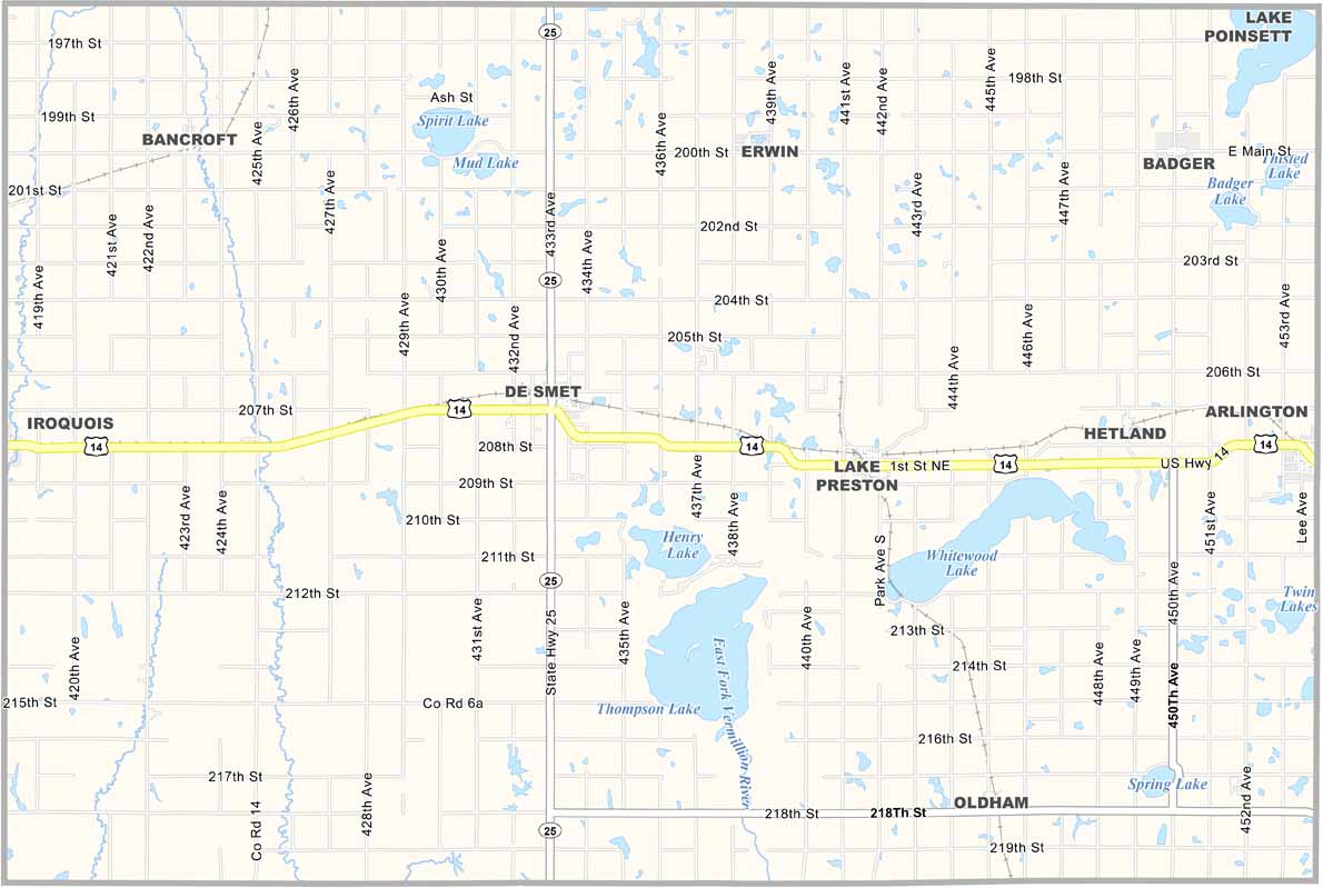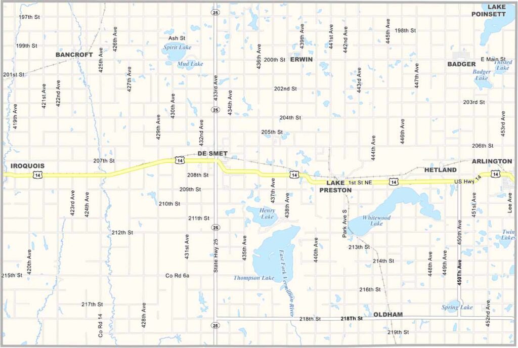
Kingsbury County Map, South Dakota

Kingsbury County, South Dakota

Kingsbury County sits in eastern South Dakota, right in the heart of the state’s lakes region. Lake Thompson is a major draw, with plenty of opportunities for fishing, boating, and more.

De Smet serves as the county seat. Remember “Little House on the Prairie”? Laura Ingalls Wilder lived here, and you can still visit her homestead.

About 5,000 people call Kingsbury County home. The land is flat and fertile, making farming the main industry, with corn, soybeans, cattle, and even sunflowers. But the county’s history runs deep, from Native Americans to pioneers. It’s all here, just waiting to be discovered.
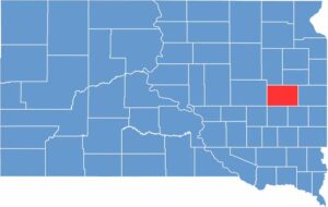

Kingsbury County location map of South Dakota
CategoryDetails
County NameKingsbury County
County SeatDe Smet
EtymologyNamed after brothers George W. Kingsbury and T. A. Kingsbury, early pioneers
Cities, Towns, and CommunitiesDe Smet, Arlington, Lake Preston, Oldham, Erwin
Interstates and HighwaysU.S. Highway 14, State Highway 25
FIPS Code46-077
Total Area (Land and Water)864 square miles (832 sq mi land, 32 sq mi water)
Adjacent Counties (and Direction)Hamlin County (Northeast), Brookings County (East), Lake County (Southeast), Miner County (South), Sanborn County (Southwest), Beadle County (West), Clark County (Northwest)
Time ZoneCentral Time Zone (CST)
StateSouth Dakota
Coordinates44°23’N, 97°30’W
Major LandmarksLaura Ingalls Wilder Historic Homes, Lake Thompson Recreation Area
PopulationApproximately 5,300
Scroll to Top