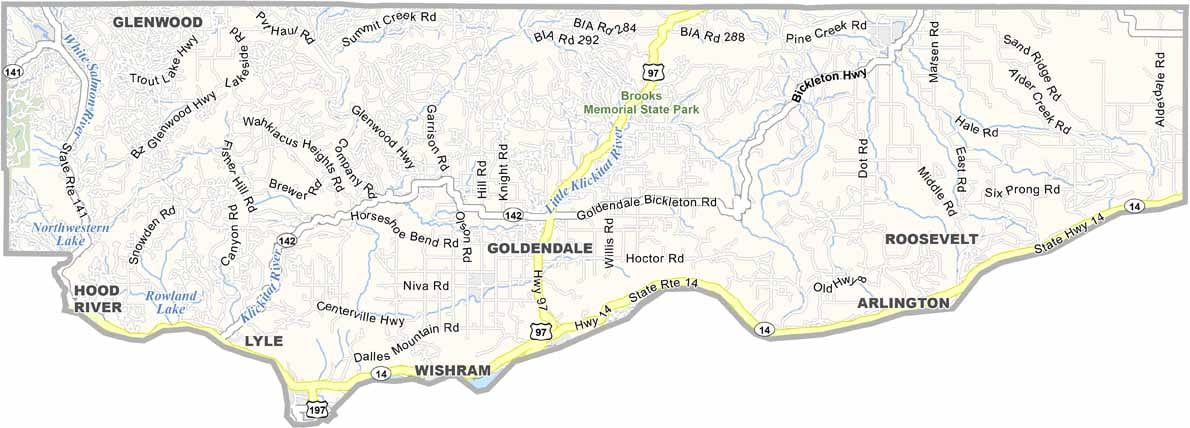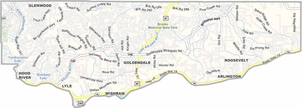
Klickitat County, Washington

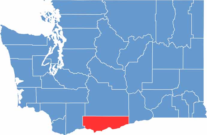
Klickitat County lies in southern Washington, offering a landscape that changes noticeably from west to east. The western side is filled with forests and mountains, while the eastern portion becomes much drier and more open.

The Columbia River forms the county’s southern boundary, adding scenic views and opportunities for outdoor recreation. Goldendale, the county seat, is well known for its observatory, where clear nights provide incredible views of the stars.

The county also has a deep and varied history. The Klickitat Trail follows the route of an old railroad line, while Native American communities have lived in the region for thousands of years. Today, Klickitat County remains a place of wide-open spaces, peaceful surroundings, and expansive skies.

CategoryDetails
County NameKlickitat County
County SeatGoldendale
PopulationApproximately 24,000
Cities, Towns, and CommunitiesGoldendale, White Salmon, Bingen, Lyle, Wishram
Interstates and HighwaysUS-97, WA-14
FIPS Code53-039
Total Area (Land and Water)1,904 sq mi (Land: 1,871 sq mi; Water: 33 sq mi)
Adjacent Counties (and Direction) Yakima County (North), Benton County (Northeast), Morrow County, Oregon (Southeast), Gilliam County, Oregon (Southeast), Sherman County, Oregon (South), Hood River County, Oregon (Southwest), Wasco County, Oregon (Southwest), Skamania County (West)
Time ZonePacific Time Zone (PT)
StateWashington
Coordinates45.8207° N, 120.8212° W
EtymologyNamed after the Klickitat Native American tribe
Major LandmarksMaryhill Museum of Art, Columbia Hills Historical State Park, Stonehenge Memorial
Scroll to Top