
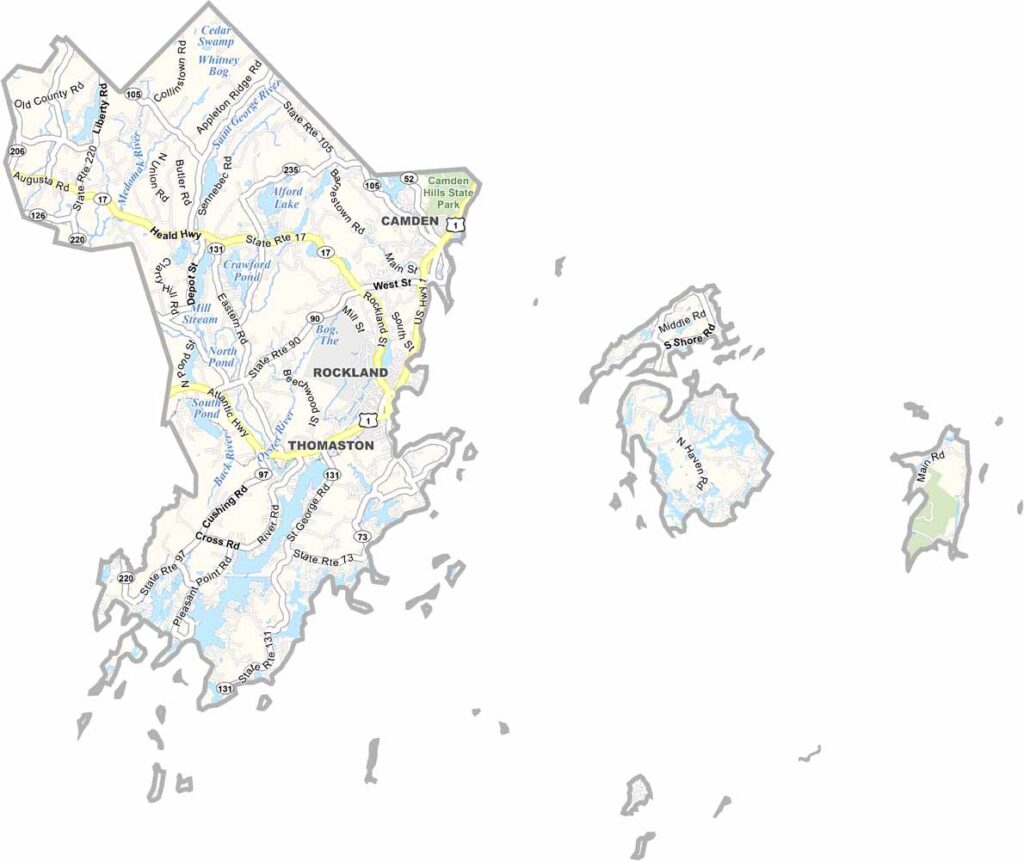
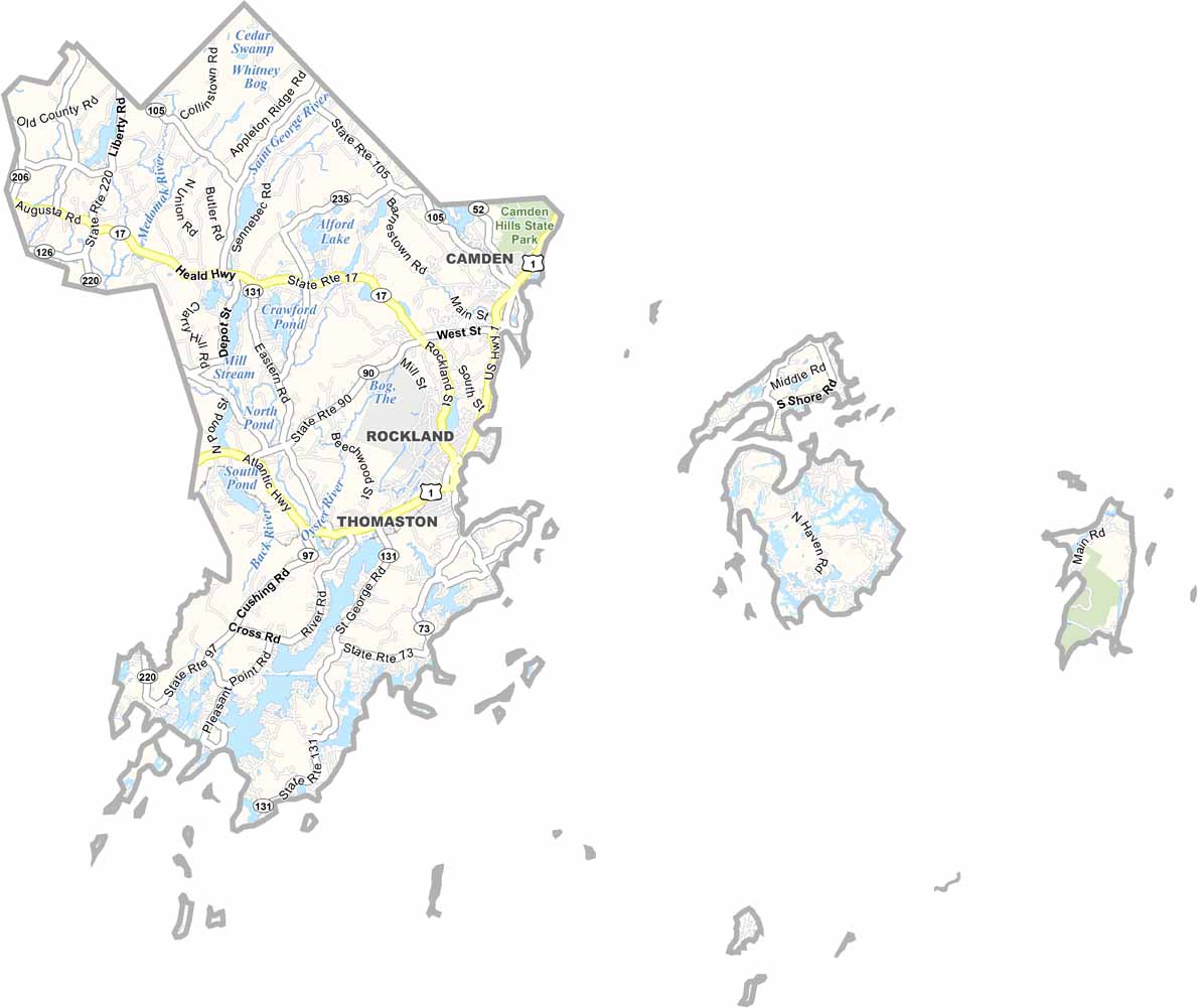
Knox County sits along Maine’s rugged coast, about halfway between Portland and Bangor. It’s a place where lobster is king and the salty sea air fills your lungs.
Rocky beaches and pine-covered hills shape the landscape. Locals take pride in their maritime heritage, with fishing villages scattered throughout the area.
Rockland is the county seat and hosts the annual Maine Lobster Festival, a must-see if you’re in town. But don’t ever take a lobster home as a pet, or you might end up like Homer Simpson and eat it.
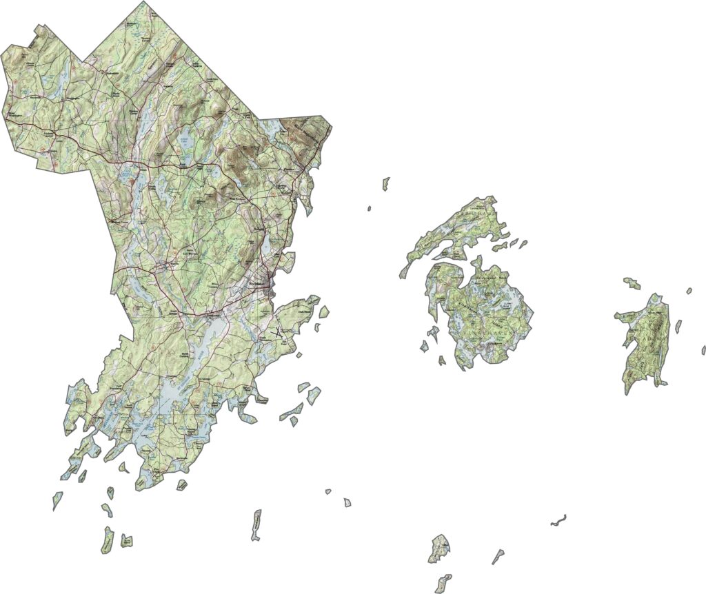
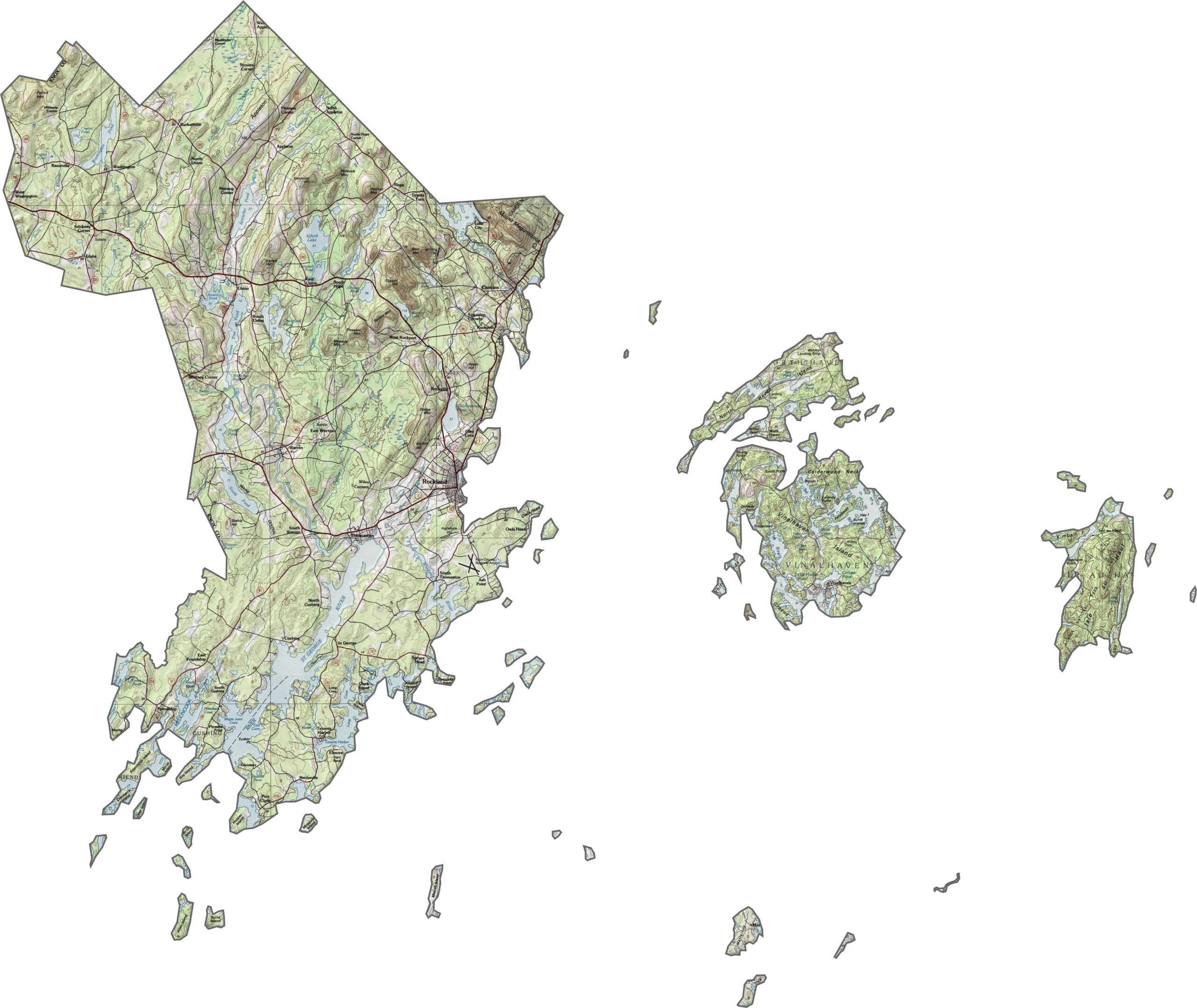
Knox County is defined by its coastline, where rocky cliffs meet the sea. Inland, the terrain rolls gently, with low hills rising away from the shore. Check the elevation details with our zoom tool below.
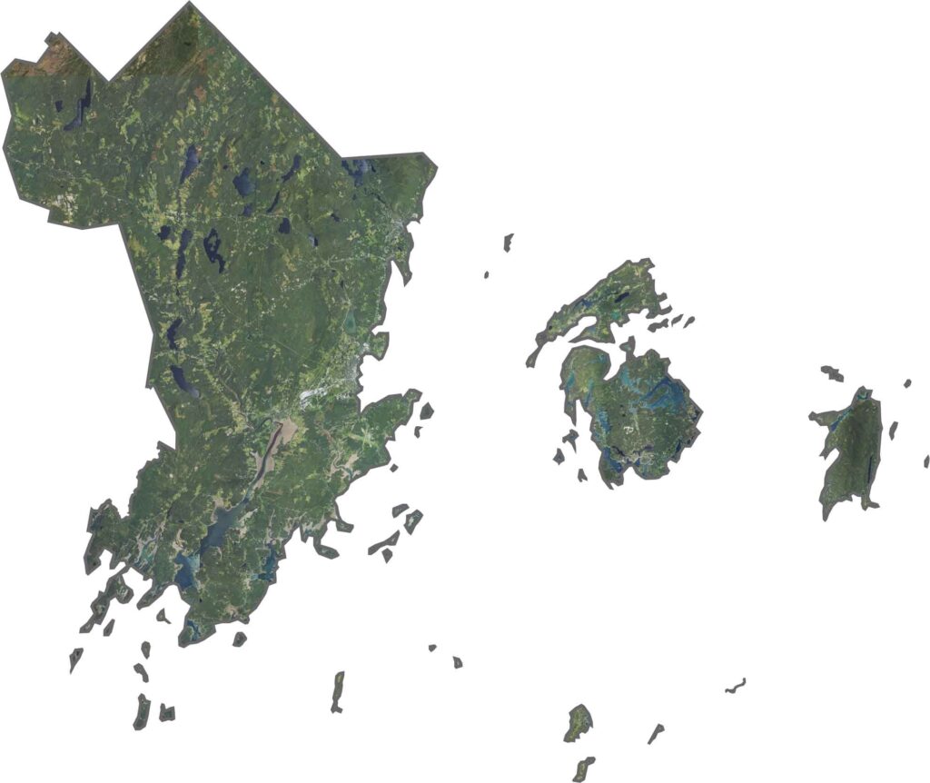
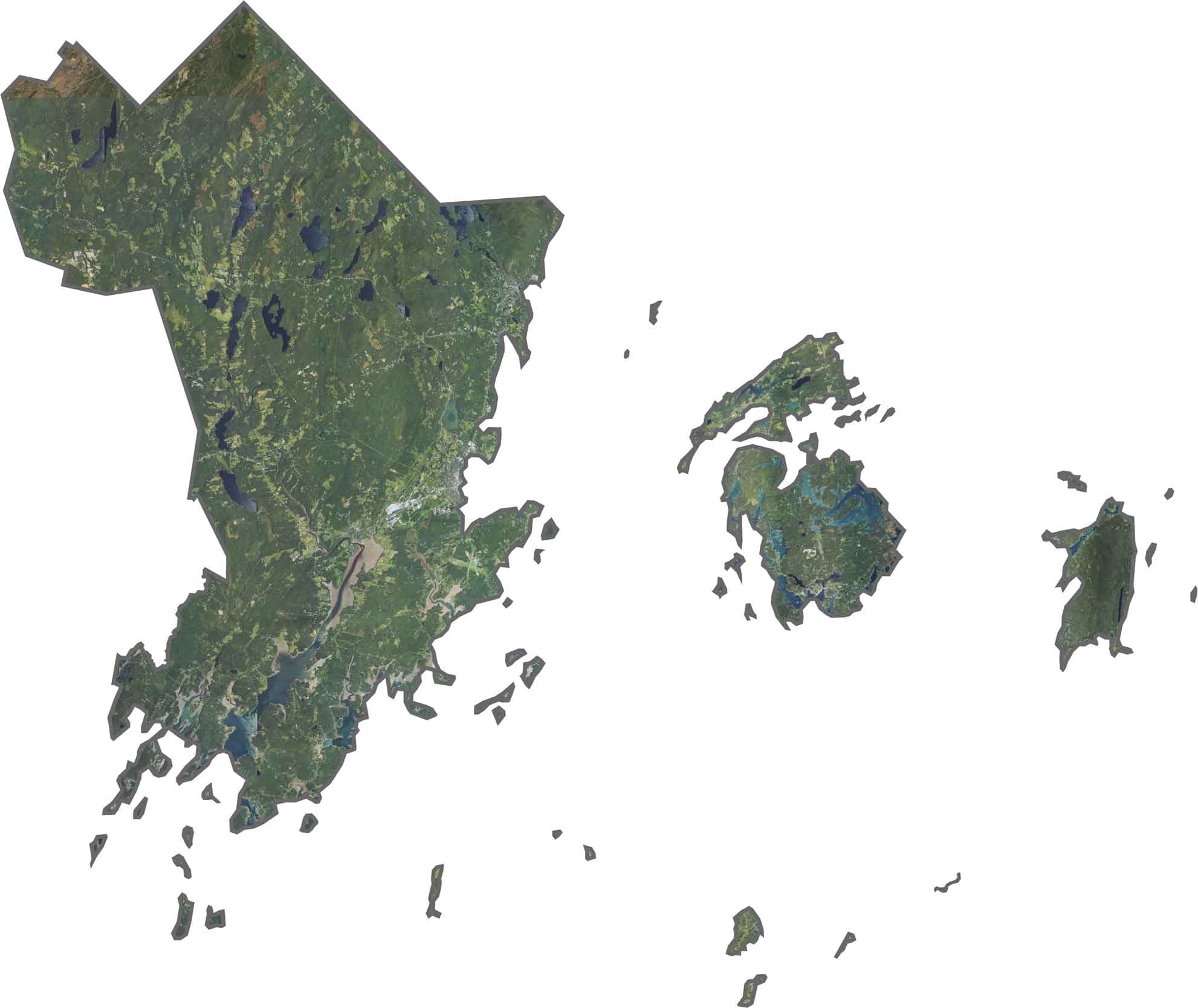
The coast is made up of peninsulas and islands along the ocean. Farmland is sparse, though small fields appear throughout the interior. Again, try out our zoom tool with our satellite map below.
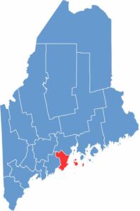
The county has a jagged, uneven shape that follows the midcoast. It borders the Atlantic Ocean to the south and Waldo County to the north.
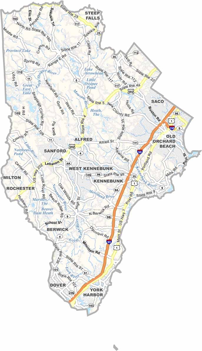
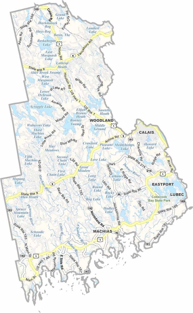
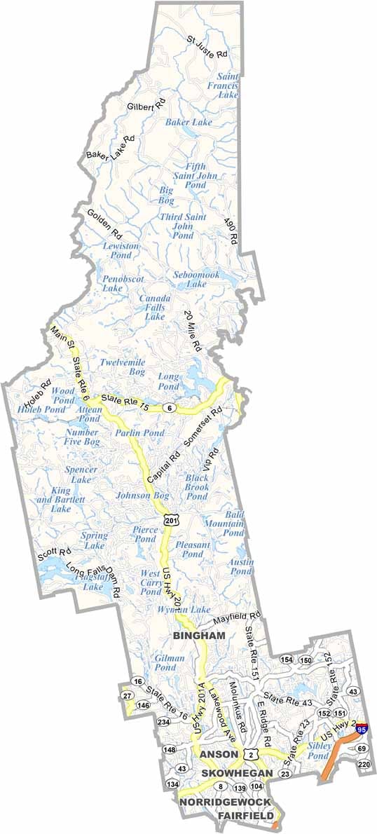

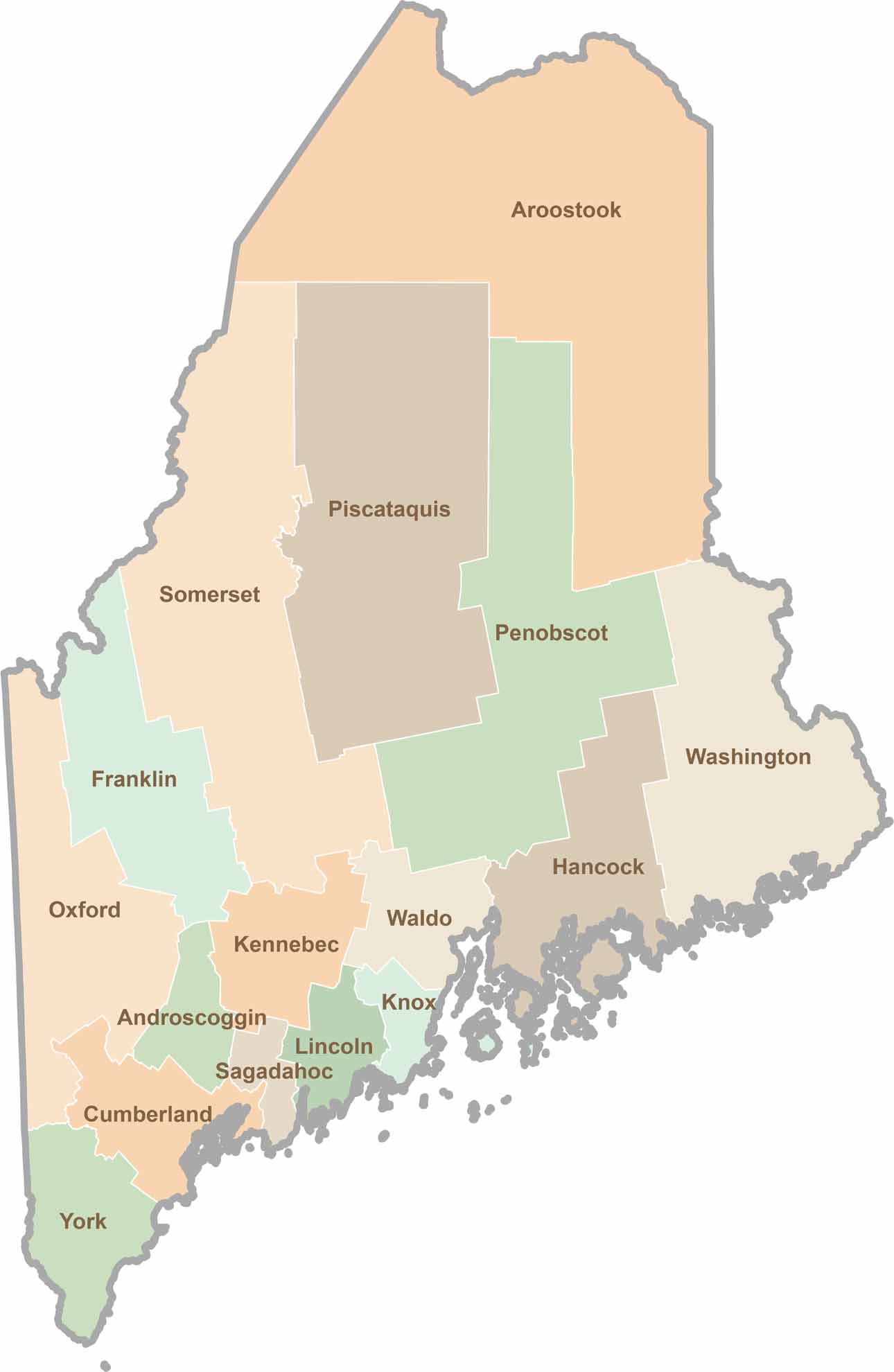
Life moves at the pace of the tides here. One day might be spent hiking forest trails, and the next watching fog roll over quiet harbors. Discover what makes each county special with our Maine county maps.