
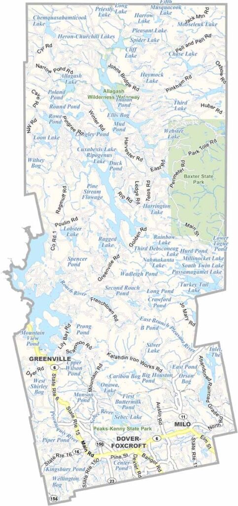
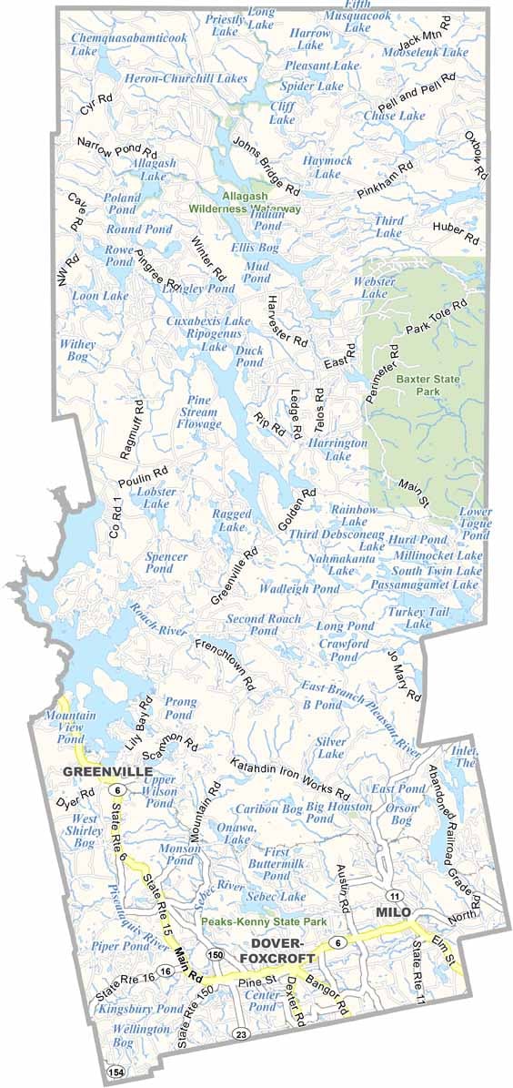
Piscataquis County is Maine’s second-largest county by area. Despite its size, it’s the least populous county in the state. It’s a wild and rugged place, covering a huge stretch of north-central Maine.
The county’s name comes from an Abenaki word meaning “branch of the river.” Speaking of rivers, the county offers some of the best whitewater rafting in New England on the Penobscot and Kennebec rivers.
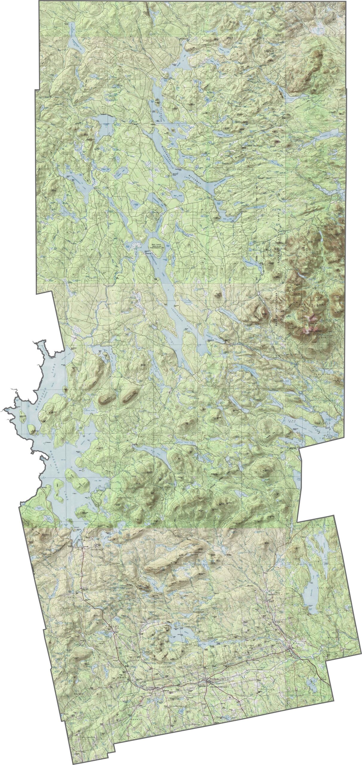
Moosehead Lake, the largest lake in Maine, is here too. It’s a paradise for outdoor enthusiasts. Hikers come to Baxter State Park to tackle Mount Katahdin, the northern terminus of the Appalachian Trail.
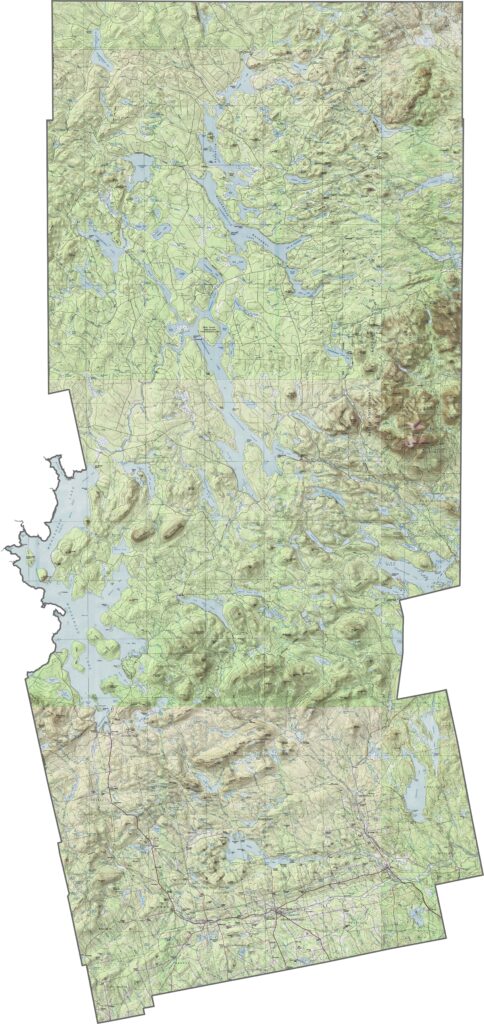
Piscataquis County is Maine’s wild heart. Yep, it’s a rugged stretch of mountains, forests, and lakes. The southern end features some gentle hills, but the terrain quickly rises into the craggy peaks of the Hundred-Mile Wilderness. Zoom in to explore all the details with our topographic map below.
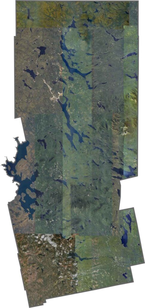
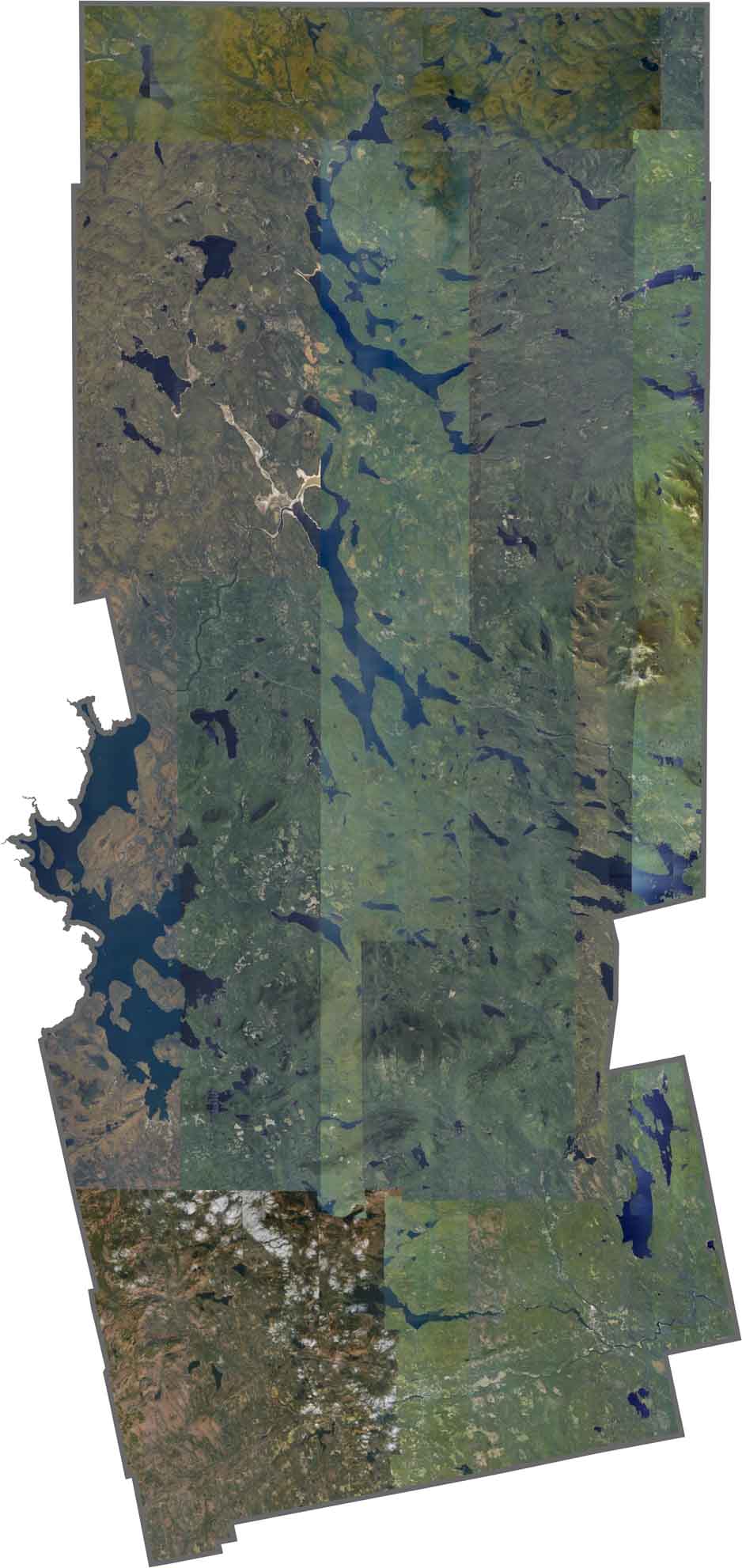
In our satellite map, you’ll see that Piscataquis County is heavily forested, with only narrow logging roads cutting through the wilderness. Moosehead Lake stands out with its irregular shape, stretching nearly 40 miles. The few towns appear as tiny clearings along the rivers, but they’re barely visible beneath the towering trees.
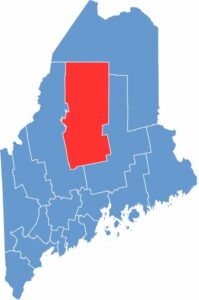
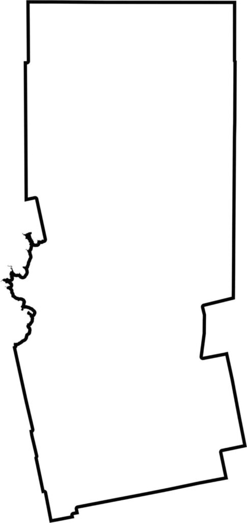
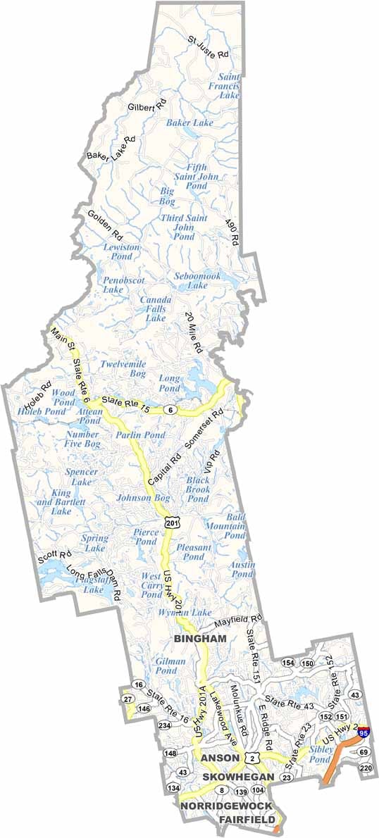
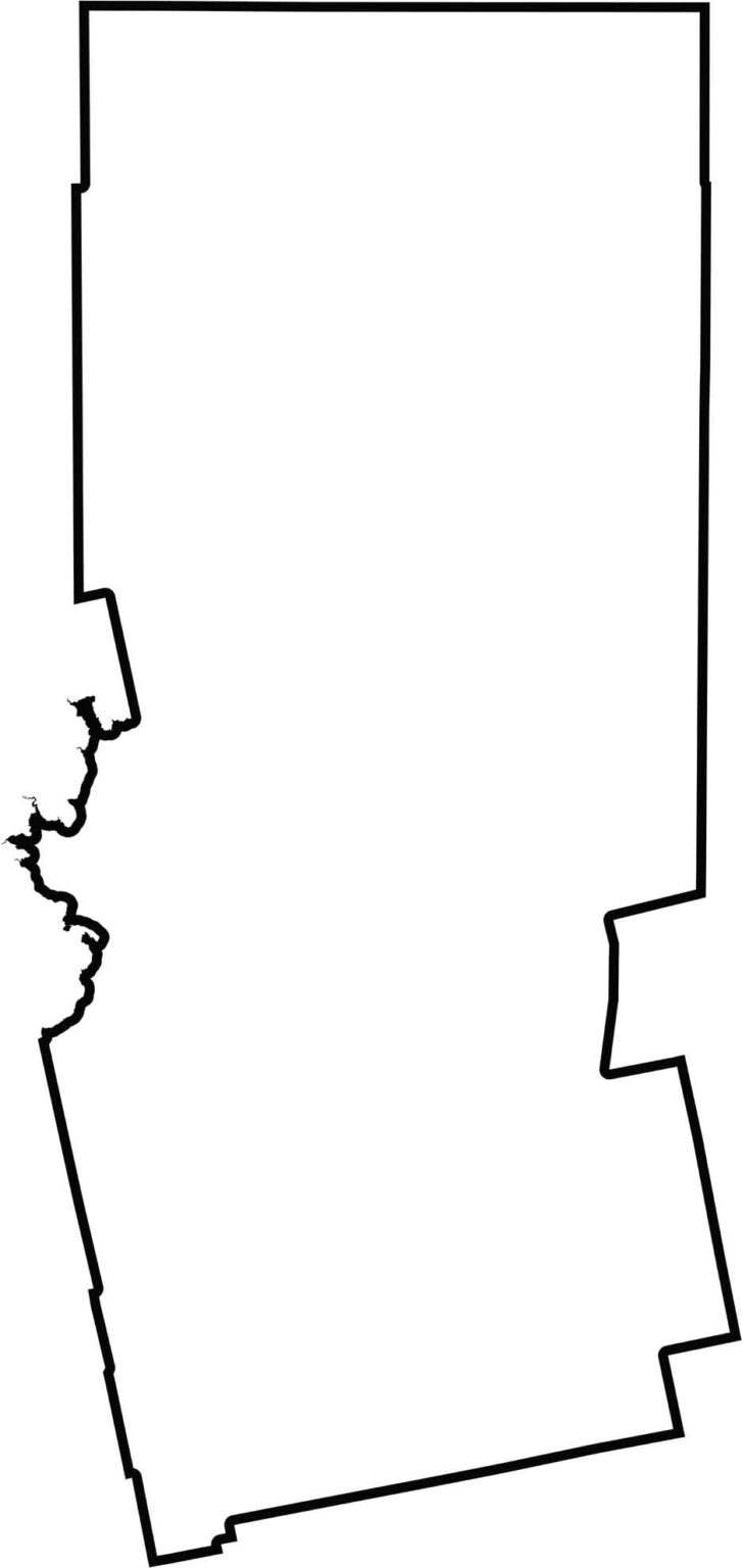
The county has a roughly rectangular shape with a narrow pinch near the center. It lies entirely within Maine and sits close to the Canadian border.

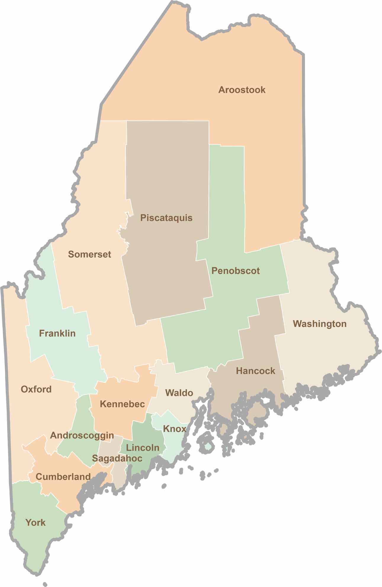
Life moves at the pace of the tides here. One day might be spent hiking forest trails, and the next watching fog roll over quiet harbors. Discover what makes each county special with our Maine county maps.